|
April 12, 2015: Dandy Trail
Comment via blog |
|
April 12, 2015: Dandy Trail
Comment via blog |
|
|
 In May 1920, the Hoosier Motor Club officially opened a scenic route that
encircled Indianapolis. They called it the Dandy Trail after the
Pomeranian of the lady who designed it. In the 1990s, future blogger and
road fan Jim Grey noticed the name Dandy Trail on a bit of road northwest
of Indianapolis. Years later, a church, a reservoir, and some glass plate
negatives prompted Jim to revisit a map he had found earlier and retrace
the old route on modern roads. Jim does a great job telling the story of
the map,
the photos, and his own
drive on the trail. That was in 2012 and I immediately
made plans to take advantage of all of Jim's hard work and drive the Dandy
Trail myself. On Sunday, I finally got around to doing it.
In May 1920, the Hoosier Motor Club officially opened a scenic route that
encircled Indianapolis. They called it the Dandy Trail after the
Pomeranian of the lady who designed it. In the 1990s, future blogger and
road fan Jim Grey noticed the name Dandy Trail on a bit of road northwest
of Indianapolis. Years later, a church, a reservoir, and some glass plate
negatives prompted Jim to revisit a map he had found earlier and retrace
the old route on modern roads. Jim does a great job telling the story of
the map,
the photos, and his own
drive on the trail. That was in 2012 and I immediately
made plans to take advantage of all of Jim's hard work and drive the Dandy
Trail myself. On Sunday, I finally got around to doing it.
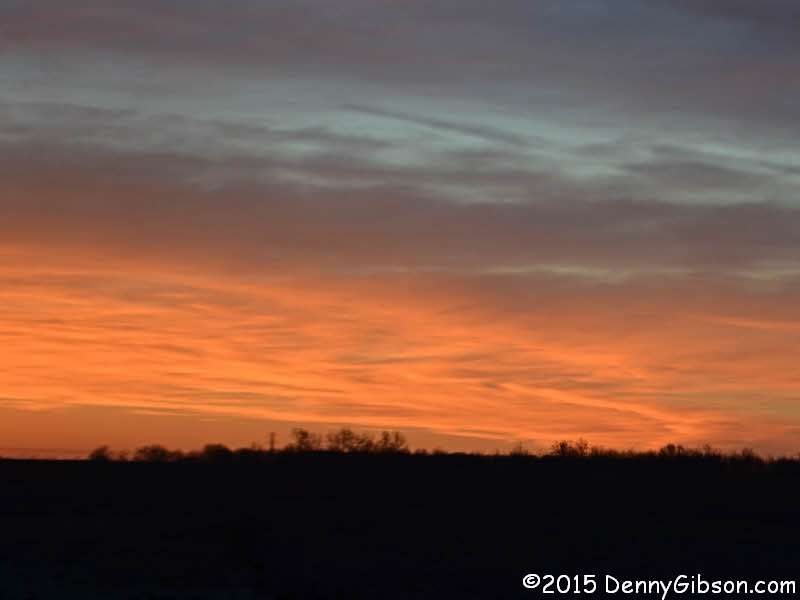
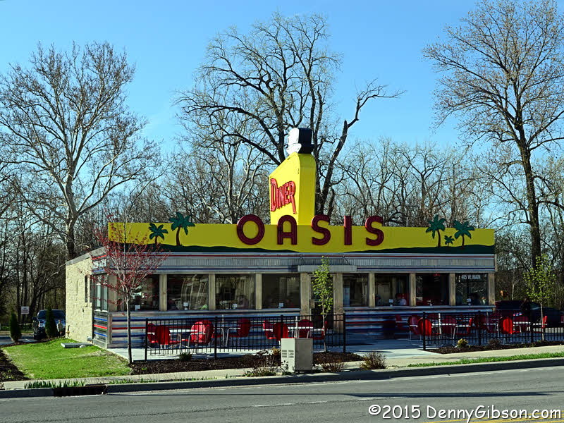
It was a planned gathering at the Oasis that did it. The Oasis is the 1954 Mountain View diner in Plainfield, Indiana, where a group of road fans got together shortly after its reopening last winter. I was sort of the instigator of that gathering and reported on it here. This time it was one of the other attendees, Dean Kennedy, who put out the call. I didn't commit initially but, as the weather improved and the weekend looked to be free, I decided it was the perfect partner for the Dandy. Some people might think it frivolous to drive all the way to Indianapolis for breakfast and some might think it foolish to drive there just to drive a circle around the city but who can question an outing that incorporates both. Plainfield is on the west side of Indianapolis. In order to have time to use the Dandy Trail to get there, I hit the road at 5:30 AM. About half an hour before reaching the trail, I stopped for gas and a picture of the sunrise. |
|
|
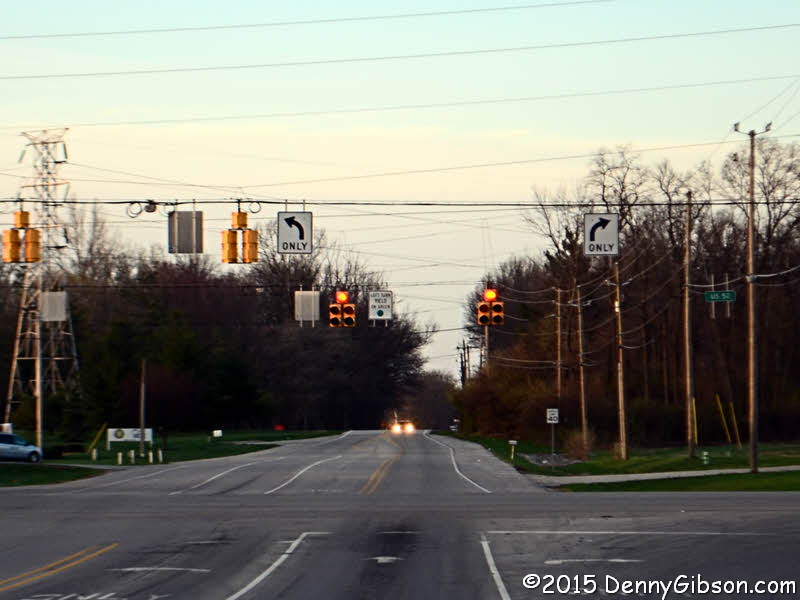
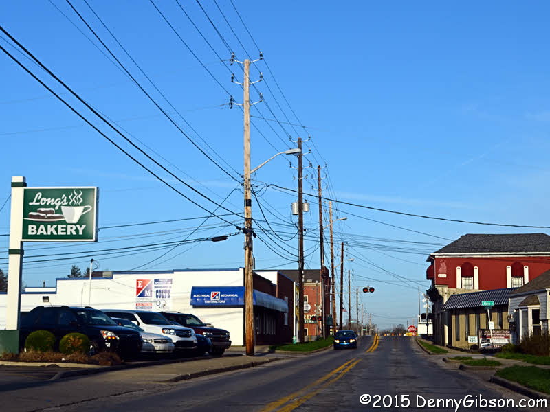 The Dandy Trail is a circle which means it could be reached, as the old
map Jim found advised, "by going out any main highway". Being
already "out", my choices were a little more restricted. I
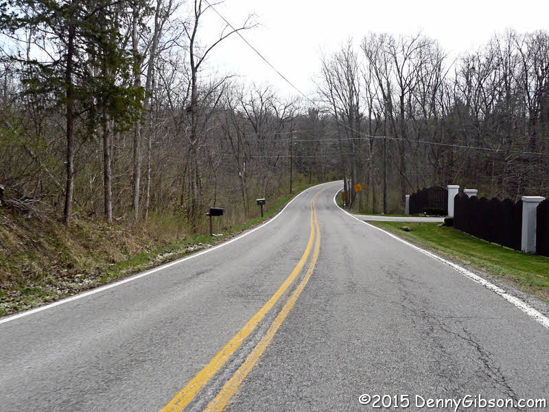
picked US-52 as the entry point then went a wee bit north to get the first
picture. It's facing south with the Dandy Trail, a.k.a. Post Road, heading
into the distance.
The Dandy Trail is a circle which means it could be reached, as the old
map Jim found advised, "by going out any main highway". Being
already "out", my choices were a little more restricted. I
picked US-52 as the entry point then went a wee bit north to get the first
picture. It's facing south with the Dandy Trail, a.k.a. Post Road, heading
into the distance.
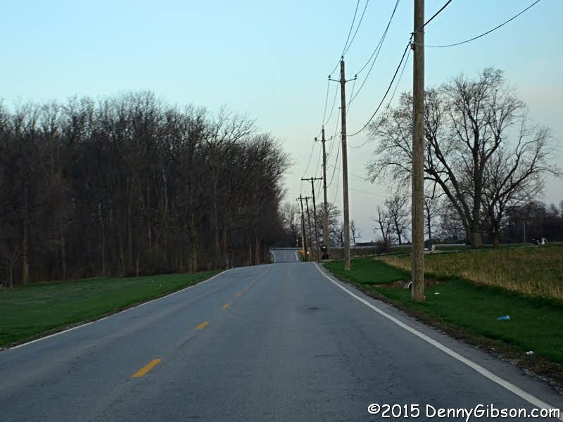
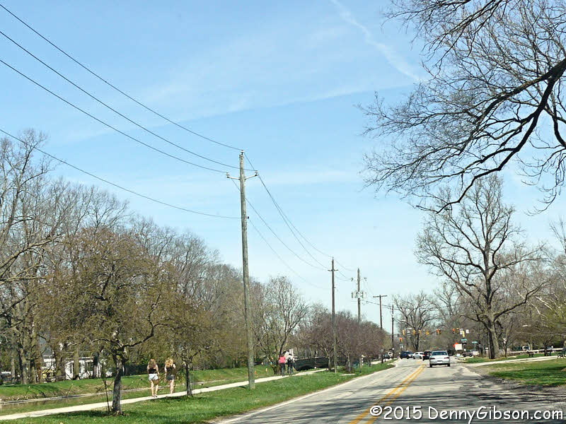
Remembering that the Dandy was created as a scenic drive in 1920 is a key part of enjoying the drive today. It was never scenic in a Blue Ridge Parkway or Overseas Highway sort of way but it was scenic in an American countryside Sunday drive sort of way. Glimpses of that countryside can still be had but most of the view is now filled with buildings of some sort. Most are residential. Very few were around when the Dandy Trail was popular. Newish apartment complexes and clusters of single family houses with names like Something Village and Somewhere Estates are everywhere. A couple of mobile home parks are just part of the mix. The city of Southport has been around since the mid-1800s so I imagine some of its commercial structures were here when the Dandy was new. |
|
|
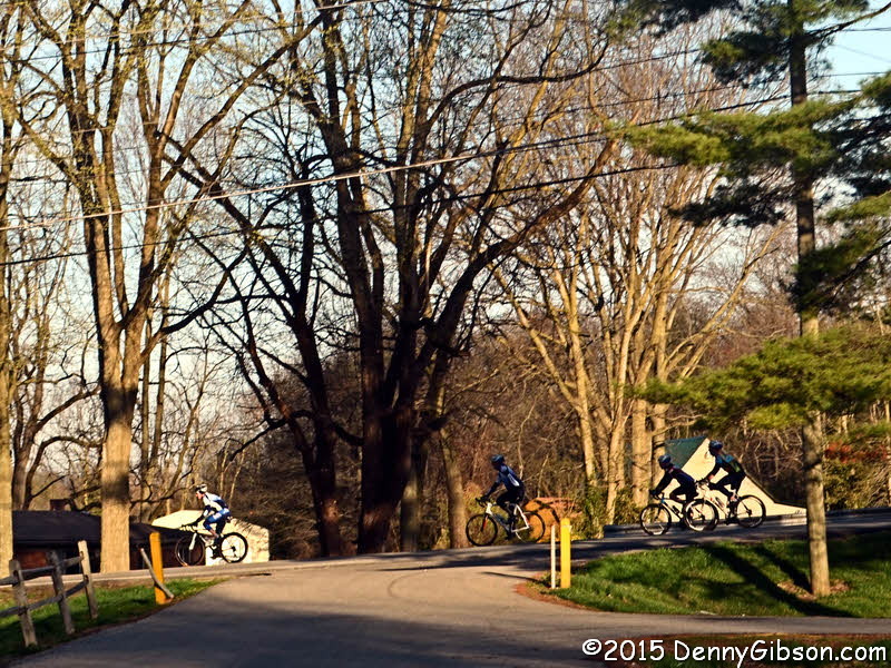
 Glenns Valley Nature Park caught my eye and I pulled in for a quick look.
There are multiple hiking trails there and it is a
BirdyIndy site. A group of cyclists coasted by while I
was there.
Glenns Valley Nature Park caught my eye and I pulled in for a quick look.
There are multiple hiking trails there and it is a
BirdyIndy site. A group of cyclists coasted by while I
was there.
|
|
|
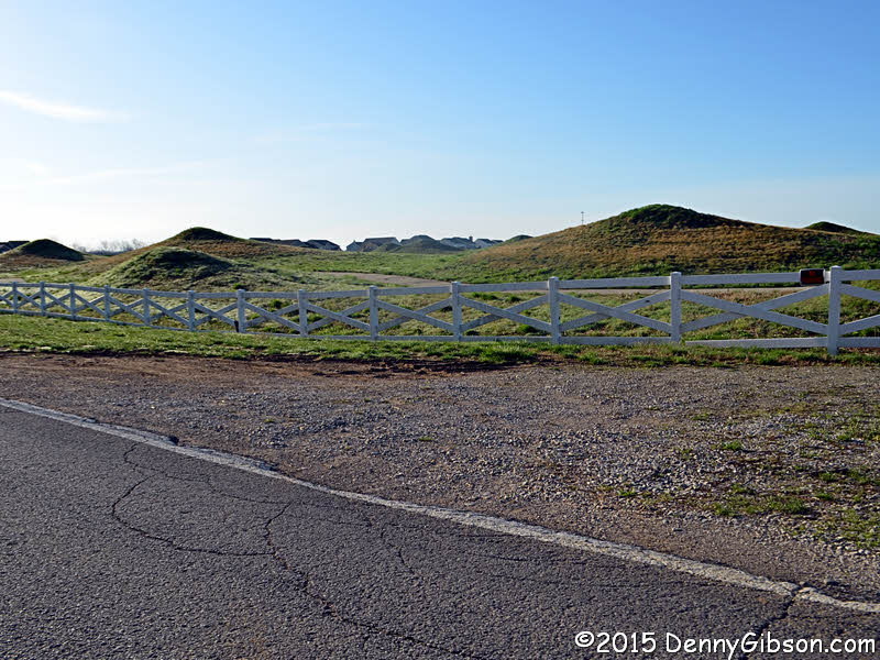 This is part of the Southern Dunes Golf Course. Nothing I've found found
tells me whether the dunes are natural or created for the golf course. In
other words, are those real dunes or Sears dunes?
This is part of the Southern Dunes Golf Course. Nothing I've found found
tells me whether the dunes are natural or created for the golf course. In
other words, are those real dunes or Sears dunes?
|
|
|
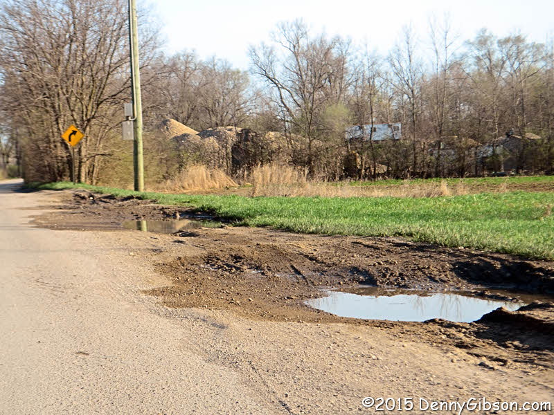
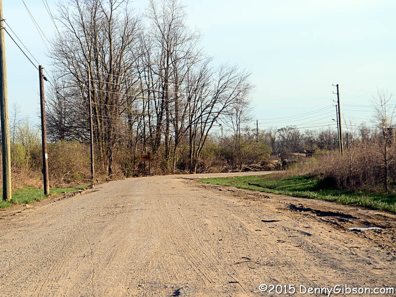 This short stretch is the only bit of unpaved road I encountered and I
imagine de-paved is a more accurate description. The area is home to an
odd collection of small lakes, fishing camps, boat/camper storage, and
gravel pits. Perhaps the lakes were created by the gravel operations.
Their trucks are the most like suspects for the de-paving and the huge
holes and ruts beside the road.
This short stretch is the only bit of unpaved road I encountered and I
imagine de-paved is a more accurate description. The area is home to an
odd collection of small lakes, fishing camps, boat/camper storage, and
gravel pits. Perhaps the lakes were created by the gravel operations.
Their trucks are the most like suspects for the de-paving and the huge
holes and ruts beside the road.
|
|
|

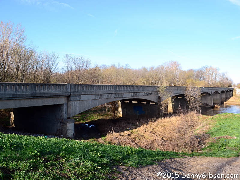 This bridge is neither ancient nor spectacular but it caught my attention
for some reason. According to
Bridgehunter it was built in 1950. Since I stopped for
a look, you can have one, too.
This bridge is neither ancient nor spectacular but it caught my attention
for some reason. According to
Bridgehunter it was built in 1950. Since I stopped for
a look, you can have one, too.
|
|
|
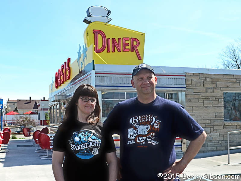
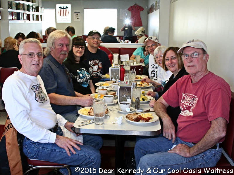
 I left the Dandy Trail at Washington Street, a.k.a. US-40, a.k.a. National
Road, to meet those friends at the Oasis Diner in Plainfield. I did take my own picture
of the group but some folks could hardly be seen. Dean Kennedy had
prevailed on our waitress to take a photo of us all and she did a much
better job. That's the one I'm using. From left to right we have Mike
Wallace, me, Jennifer & Pat Bremer, Bruce & Marcia Gascho, Jenny
McGinnis, and Dean. Although I knew Mike digitally, this was are first
analog meeting. This was my first meeting of any sort with the Gaschos,
who just got home from a Route 66 trip on Saturday, and Jenny.
I left the Dandy Trail at Washington Street, a.k.a. US-40, a.k.a. National
Road, to meet those friends at the Oasis Diner in Plainfield. I did take my own picture
of the group but some folks could hardly be seen. Dean Kennedy had
prevailed on our waitress to take a photo of us all and she did a much
better job. That's the one I'm using. From left to right we have Mike
Wallace, me, Jennifer & Pat Bremer, Bruce & Marcia Gascho, Jenny
McGinnis, and Dean. Although I knew Mike digitally, this was are first
analog meeting. This was my first meeting of any sort with the Gaschos,
who just got home from a Route 66 trip on Saturday, and Jenny.
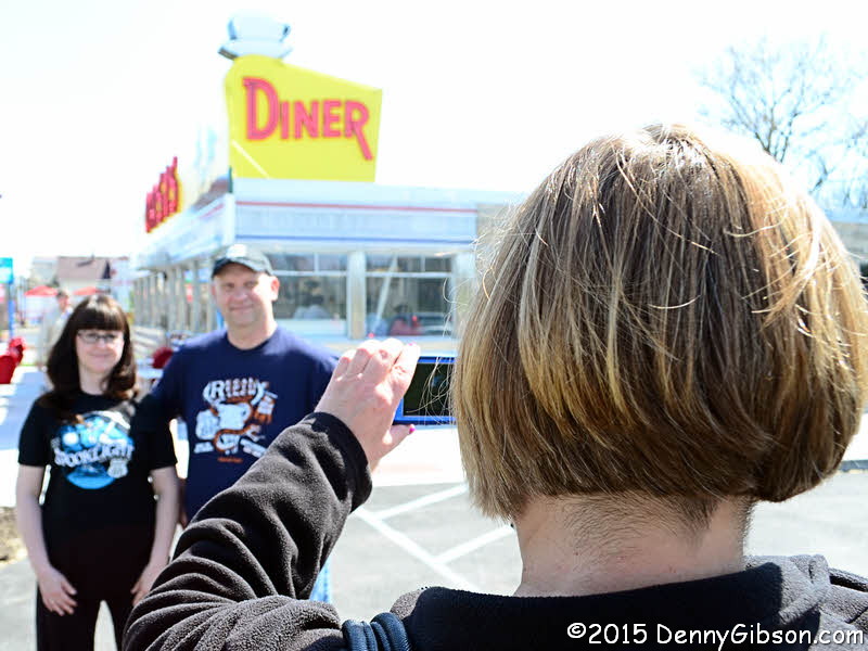
The Bremers were sporting their new Tourist Trap Tees and, once outside, Jenny stepped up to assist the budding fashion models with their portfolio. There's no doubt in my mind that's gonna move product. |
|
|
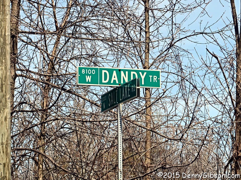
 After an excellent and extended breakfast confab, I made it back the the
Dandy Trail and eventually to the SIGNED Dandy trail. Apparently the few
miles of roadway bearing the Dandy Trail name on the northwest edge of
Indianapolis is the only physical presence the old route has. This was the
section that got Jim Grey's attention back in the 1990s.
After an excellent and extended breakfast confab, I made it back the the
Dandy Trail and eventually to the SIGNED Dandy trail. Apparently the few
miles of roadway bearing the Dandy Trail name on the northwest edge of
Indianapolis is the only physical presence the old route has. This was the
section that got Jim Grey's attention back in the 1990s.
|
|
|

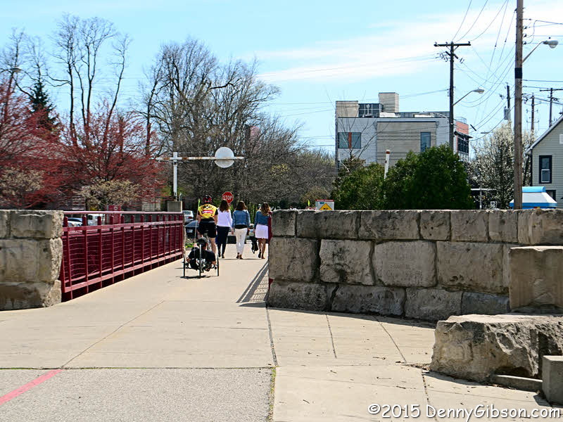
 At a point almost directly north of downtown Indianapolis, the Dandy heads
toward downtown then turns sharply to the northeast. I was struck by the
arrow straight road ahead then realized there was an equally straight body
of water beside it. This was one of the few completed sections of the
ill-fated Central Canal. In just a little more than a mile, the street,
the canal, and the walking trail between them reached Broad Ripple. I've
often heard of this entertainment district but had never been there. It
took a couple of passes to get a parking spot but I did find one just a
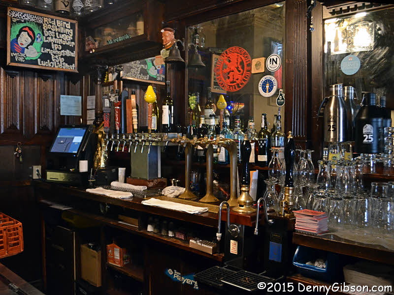
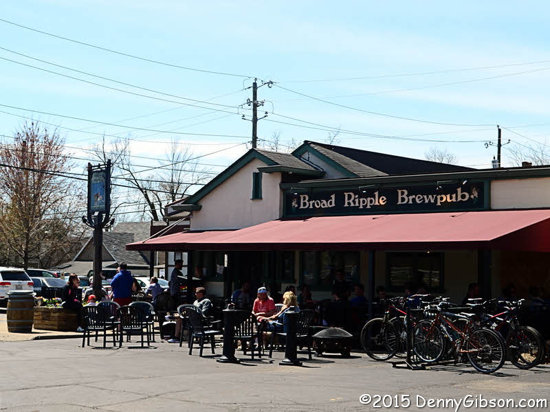
block or so from Broad Ripple Brewpub. The brewpub was one of the few
things I recalled hearing about and the first place I headed. It was
actually the only place I entered. After one very enjoyable pint, I walked
on to the canal.
At a point almost directly north of downtown Indianapolis, the Dandy heads
toward downtown then turns sharply to the northeast. I was struck by the
arrow straight road ahead then realized there was an equally straight body
of water beside it. This was one of the few completed sections of the
ill-fated Central Canal. In just a little more than a mile, the street,
the canal, and the walking trail between them reached Broad Ripple. I've
often heard of this entertainment district but had never been there. It
took a couple of passes to get a parking spot but I did find one just a
block or so from Broad Ripple Brewpub. The brewpub was one of the few
things I recalled hearing about and the first place I headed. It was
actually the only place I entered. After one very enjoyable pint, I walked
on to the canal.
The bridge in the fourth photo is on Guilford Avenue. A railroad nearer the White River has been converted to pedestrian use as part of a hike and bike trail. That's its other end on the left of the last picture with the Dandy trail, using the pavement of Winthrop Avenue, on the right. |
|
|
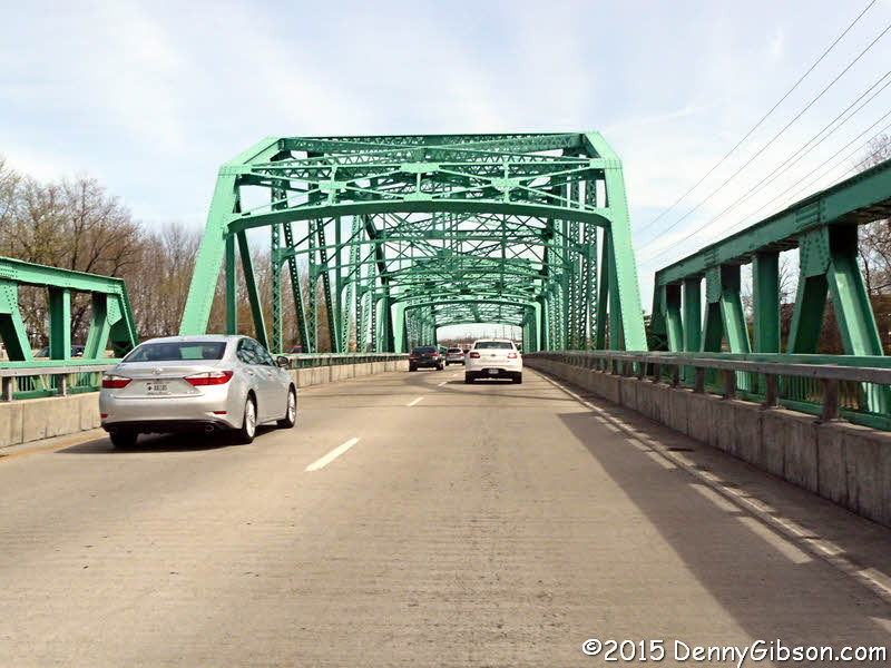
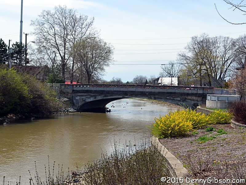
 The Dandy Trail crosses the White River multiple time as the two wander
around Indianapolis. When the modern version of the Dandy Trail partners
with east bound 82nd Street, the crossing is on the 1941
David Wolf Bridge. The through truss bridge was
rehabilitated in 1980 1nd 2008 and presumedly renamed somewhere along the
line. David Wolf is an astronaut.
The Dandy Trail crosses the White River multiple time as the two wander
around Indianapolis. When the modern version of the Dandy Trail partners
with east bound 82nd Street, the crossing is on the 1941
David Wolf Bridge. The through truss bridge was
rehabilitated in 1980 1nd 2008 and presumedly renamed somewhere along the
line. David Wolf is an astronaut.
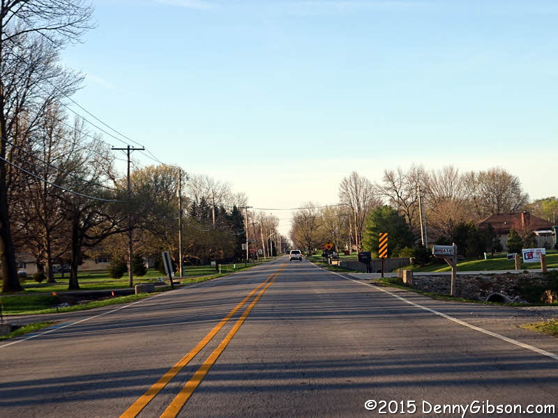
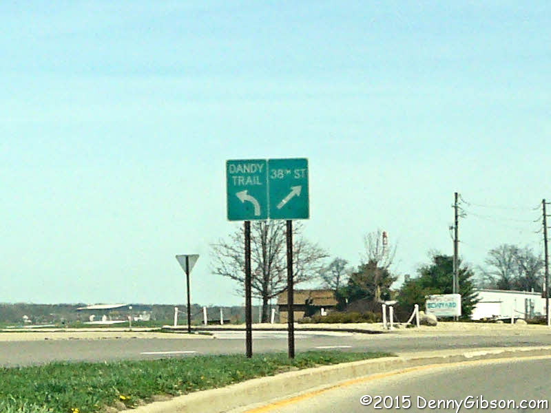
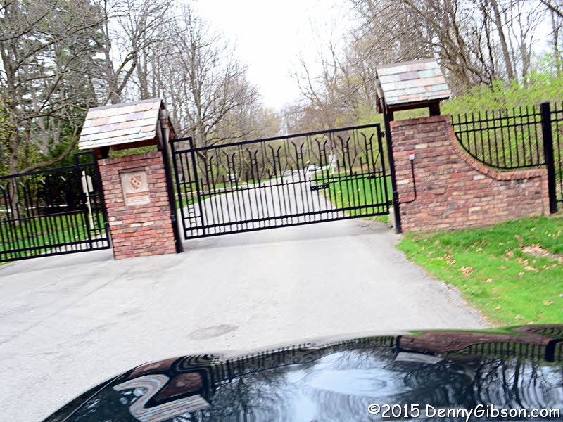
Indiana is hardly known for its rolling hills but the Dandy Trail manages to find some elevation changes here and there. That continues with pieces of the northeast portion of the circle. There was one section of the Dandy Trail that I didn't get to drive even though it still exists and is probably in pretty good shape. Just under a mile of the original route is on Lawrence Drive inside the gated community of Brendonwood. |
|
|
 Forgoing an attempt to storm the gates of Brendonwood, I meekly motored
the final few miles to the day's point of origin, turned left on US-52,
and headed home.
Forgoing an attempt to storm the gates of Brendonwood, I meekly motored
the final few miles to the day's point of origin, turned left on US-52,
and headed home.
Profuse thanks to Jim Grey for not just figuring out what those street signs meant but uncovering and sharing the whole Dandy Trail story and producing a modern route. |
|
|
| [Site Home] [Contact] |