Gray Plus
Comment via blog
Prev
Next


|
Day 2: December 24, 2016 Gray Plus Comment via blog |
Prev Next |
|
|
|
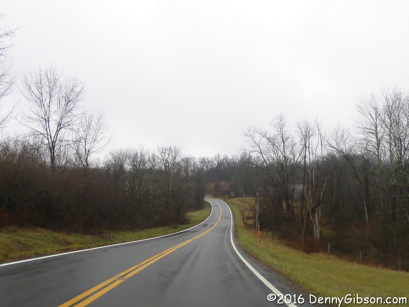
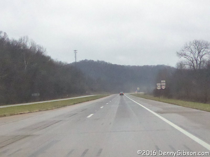 Just like yesterday I'm again headed east on a gray US-50 except now it's
wet, too.
Just like yesterday I'm again headed east on a gray US-50 except now it's
wet, too.
|
|
|
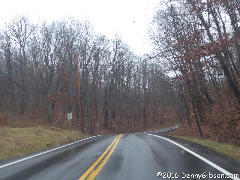

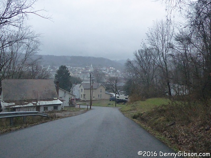
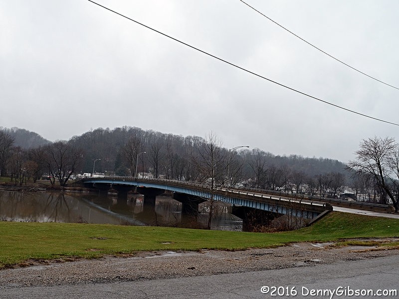
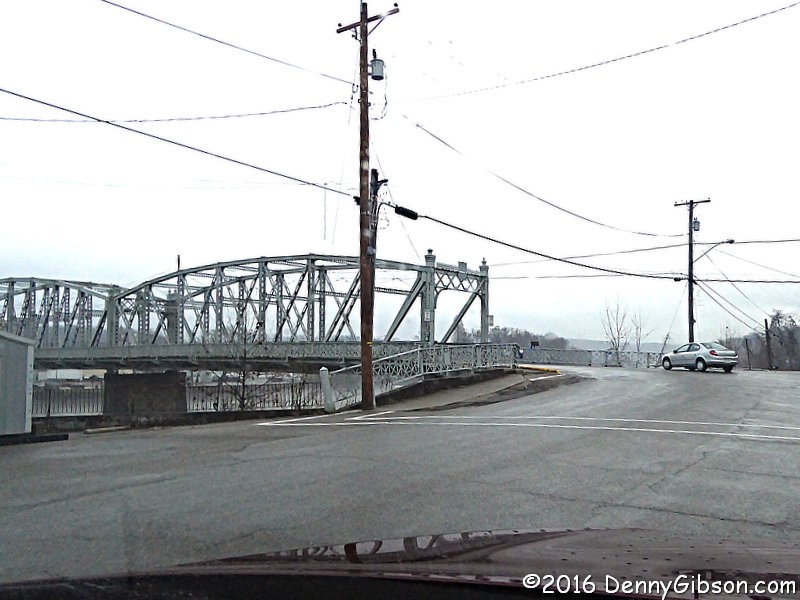 A few miles east of Athens I turn north on OH-690. The rain comes and goes
and is never heavy. The temperature is in the forties but the rain makes
it seem colder. I eventually turn onto Malta Hill Road and descend into
the town of Malta. Then it's across the Muskingum River and into
McConnelsville on a 1913 bridge.
A few miles east of Athens I turn north on OH-690. The rain comes and goes
and is never heavy. The temperature is in the forties but the rain makes
it seem colder. I eventually turn onto Malta Hill Road and descend into
the town of Malta. Then it's across the Muskingum River and into
McConnelsville on a 1913 bridge.
|
|
|
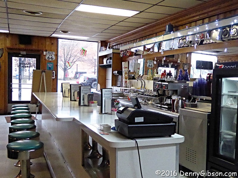
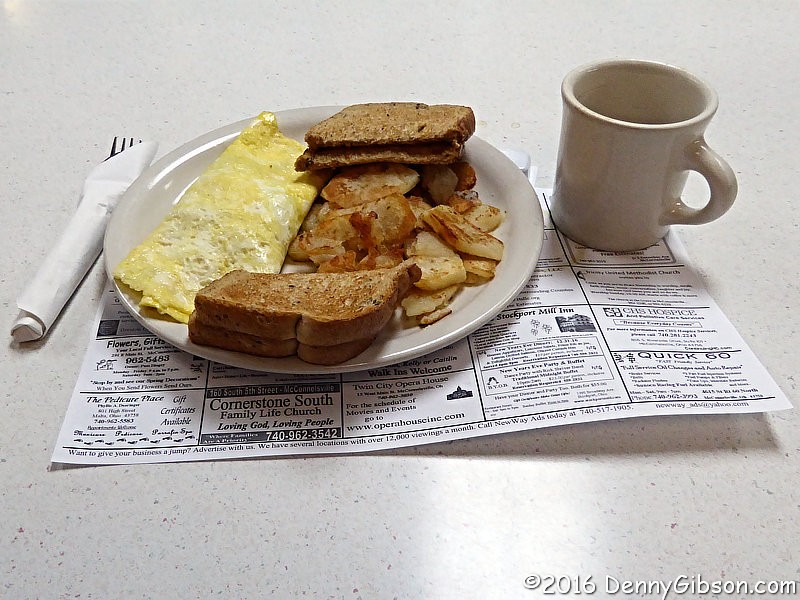
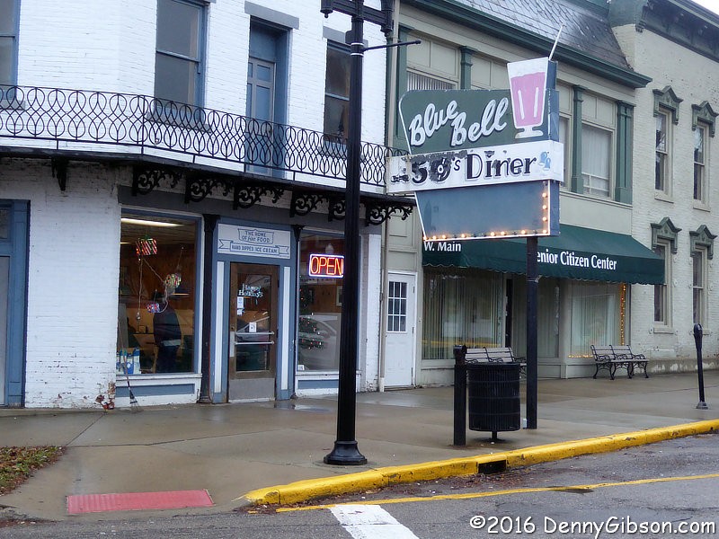 My destination was the Blue Bell Diner where I enjoyed a
Blue Bell omelet. It's a comfortable place with
good food and plenty of regular customers being greeted by name.
My destination was the Blue Bell Diner where I enjoyed a
Blue Bell omelet. It's a comfortable place with
good food and plenty of regular customers being greeted by name.
|
|
|
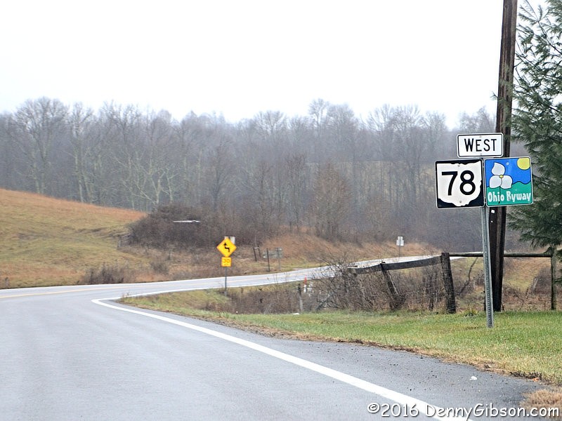
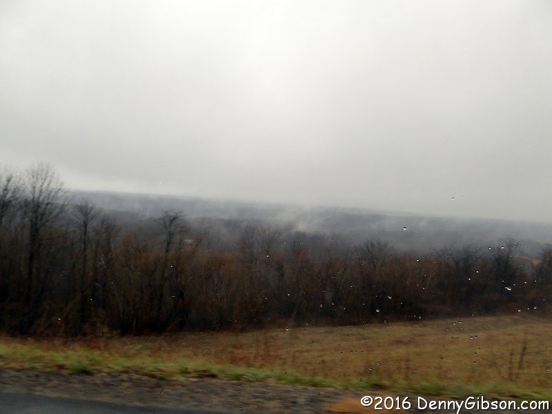
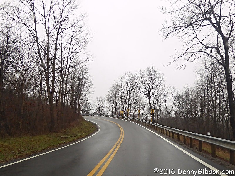 I left McConnelsville on OH-78 and a newer bridge. I'm now on the lower
half of the
Morgan County Scenic Byway and driving what has been
nicknamed "Rim of the World". Although it's nearly
impossible to capture them in photos, there really are some long ranging
views here on clear days. Not so much though on rainy foggy days. I didn't
realize it until I reached the end of the byway, but one of the main
things I remember from my 2005 Morgan
County drive, the bucket from the
Big
Muskie, is on the other half of the byway.
I left McConnelsville on OH-78 and a newer bridge. I'm now on the lower
half of the
Morgan County Scenic Byway and driving what has been
nicknamed "Rim of the World". Although it's nearly
impossible to capture them in photos, there really are some long ranging
views here on clear days. Not so much though on rainy foggy days. I didn't
realize it until I reached the end of the byway, but one of the main
things I remember from my 2005 Morgan
County drive, the bucket from the
Big
Muskie, is on the other half of the byway.
|
|
|
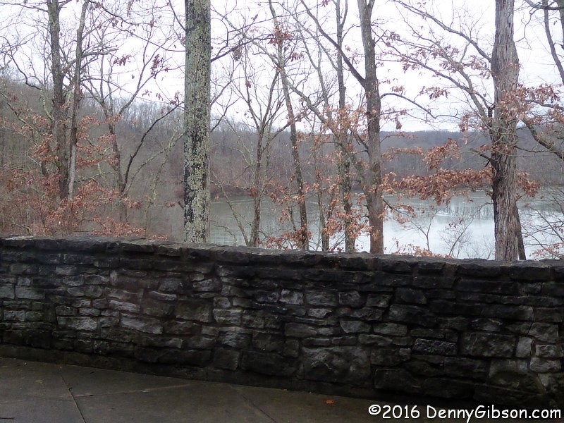
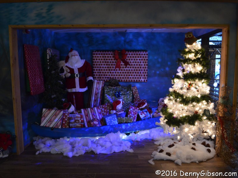
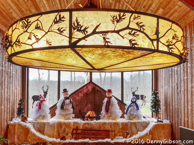
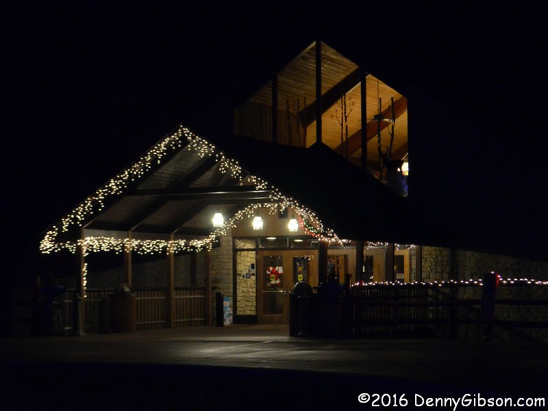
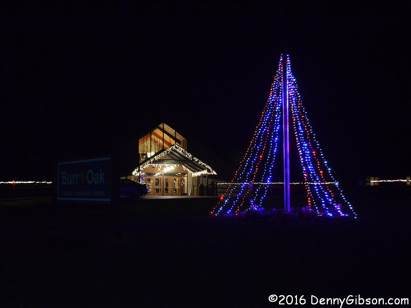
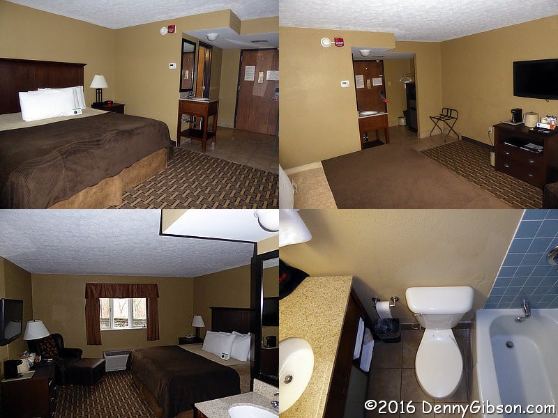
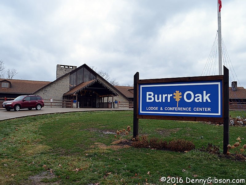 The entrance to Burr Oak State Park is at the south end of the Morgan
County Scenic Byway. The lodge is about a mile inside the park. The middle
two photos are of holiday decorations in the lobby. The last photo is the
view from my room. The view of my room is here.
The entrance to Burr Oak State Park is at the south end of the Morgan
County Scenic Byway. The lodge is about a mile inside the park. The middle
two photos are of holiday decorations in the lobby. The last photo is the
view from my room. The view of my room is here.
|
|
|
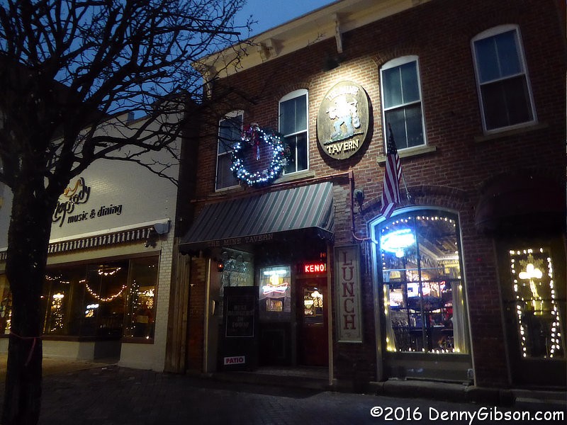 I opted to go into Nelsonville for dinner. Someday I need to get some
photos of the stamped metal interior walls of the 1848 building housing
The Mine Tavern but this wasn't the day. I did get a very good 'burger
though.
I opted to go into Nelsonville for dinner. Someday I need to get some
photos of the stamped metal interior walls of the 1848 building housing
The Mine Tavern but this wasn't the day. I did get a very good 'burger
though.
|
|
|
 Back at the lodge the lights were lit and I don't doubt that a few
stockings were hung with care. Mine got tossed on the floor.
Back at the lodge the lights were lit and I don't doubt that a few
stockings were hung with care. Mine got tossed on the floor.
To all a good night. |
|
|
| [Prev] [Site Home] [Trip Home] [Contact] [Next] |