OK's Done
Comment via blog
Prev
Next


|
Day 12: May 2, 2018 OK's Done Comment via blog |
Prev Next |
|
|
|
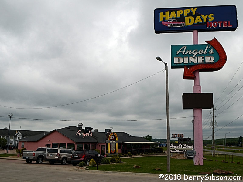
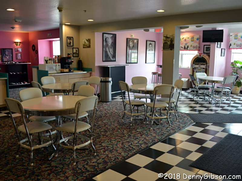 The first picture is the hotel breakfast room. I didn't eat there although
I certainly would have if only there'd been boomerang patterned tables.
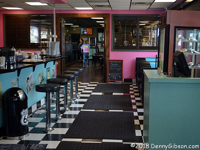
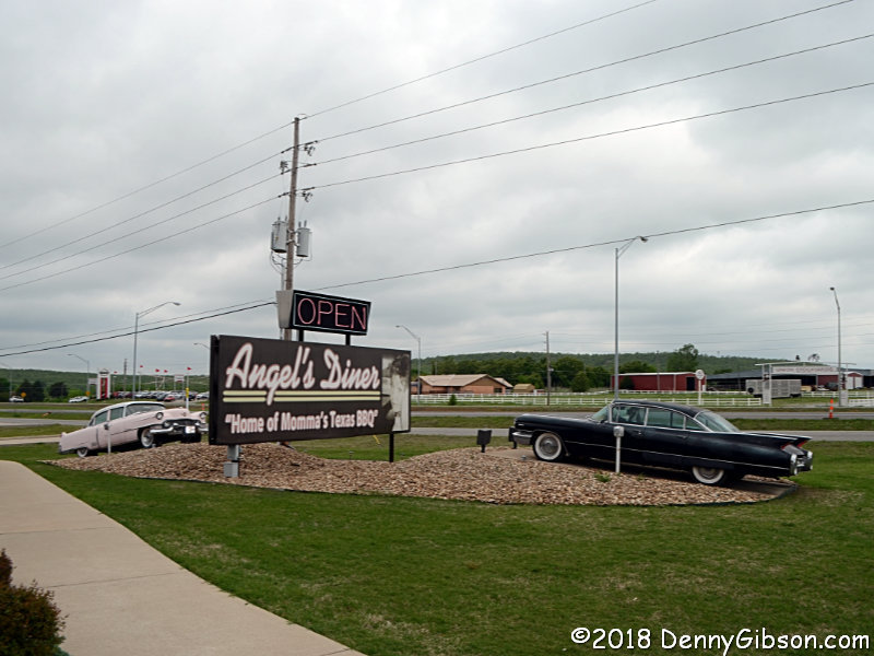
Instead I went to the next door diner with the same owner as the hotel.
The pink and black Cadillacs in front are a nice touch and go well with
the pink parking lot stripes at both the
hotel and diner. Any guesses as to whose pictures are on the restroom
doors?
The first picture is the hotel breakfast room. I didn't eat there although
I certainly would have if only there'd been boomerang patterned tables.
Instead I went to the next door diner with the same owner as the hotel.
The pink and black Cadillacs in front are a nice touch and go well with
the pink parking lot stripes at both the
hotel and diner. Any guesses as to whose pictures are on the restroom
doors?
|
|
|
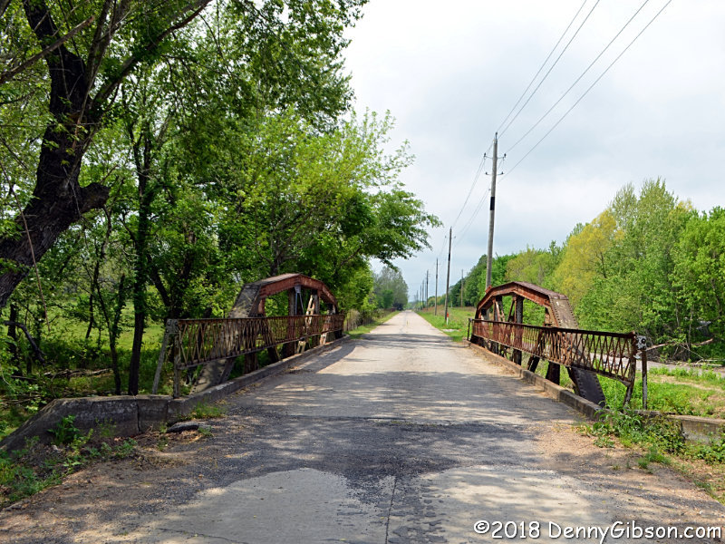
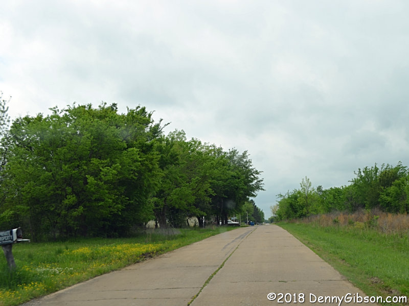
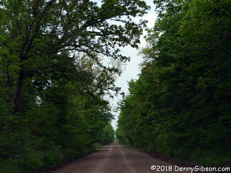
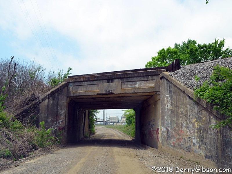
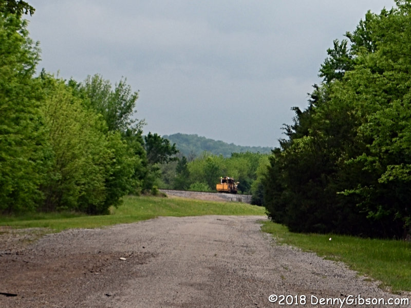
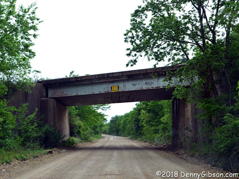
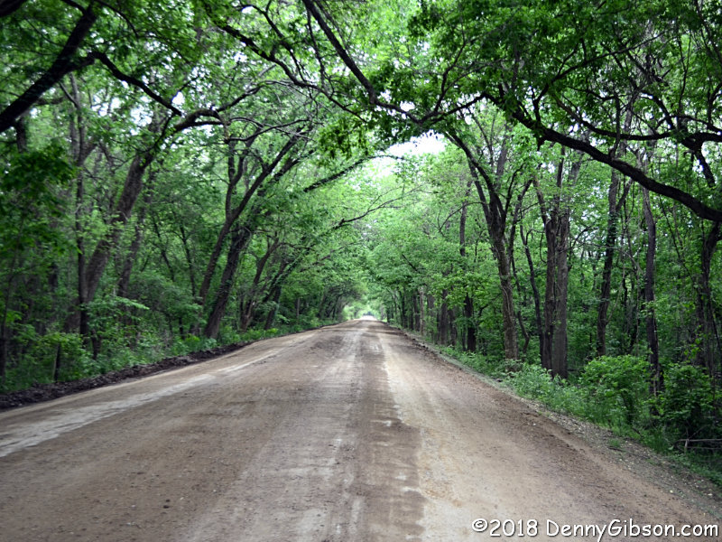
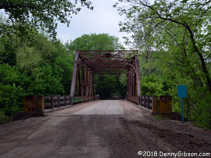
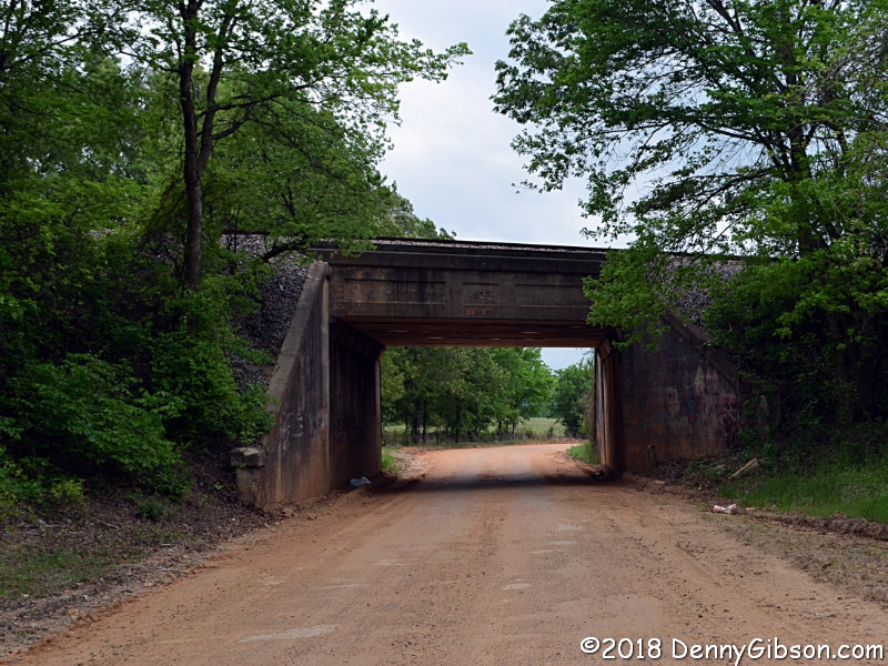
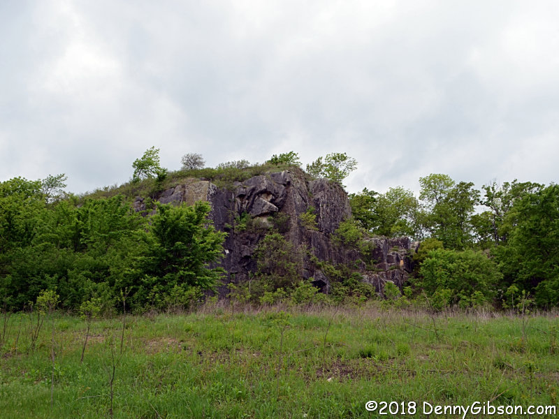 Back on the road, in rather short order, I found an old bridge, old
concrete pavement, dirt road squeezing between solid walls of trees, and
a railroad underpass. Those are all things I more or less expect to see in
eastern Oklahoma. I did not expect to see small mountains in the distance
or large stone outcroppings nearby. I didn't really expect to catch a
railroad maintenance vehicle in the fifth picture, either, but that's a
surprise of a different sort.
Back on the road, in rather short order, I found an old bridge, old
concrete pavement, dirt road squeezing between solid walls of trees, and
a railroad underpass. Those are all things I more or less expect to see in
eastern Oklahoma. I did not expect to see small mountains in the distance
or large stone outcroppings nearby. I didn't really expect to catch a
railroad maintenance vehicle in the fifth picture, either, but that's a
surprise of a different sort.
|
|
|
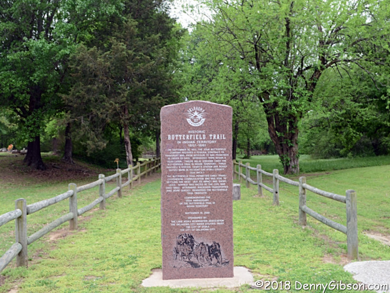
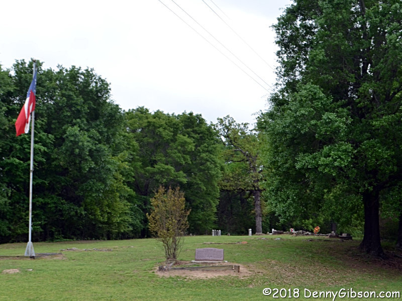
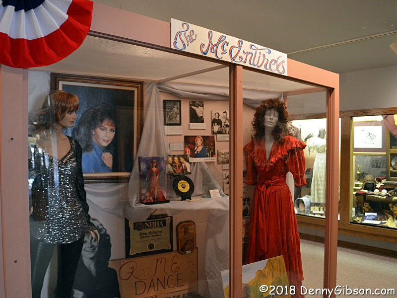
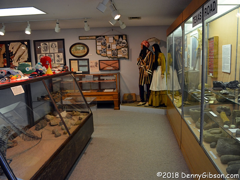 I made a stop at the Atoka Museum which the attendant accurately described
as "dinosaur bones in the front and Reba McEntire in the back".
A small Confederate cemetery and an Overland Trail marker are among the
items to be seen on the grounds.
I made a stop at the Atoka Museum which the attendant accurately described
as "dinosaur bones in the front and Reba McEntire in the back".
A small Confederate cemetery and an Overland Trail marker are among the
items to be seen on the grounds.
|
|
|
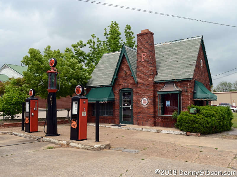
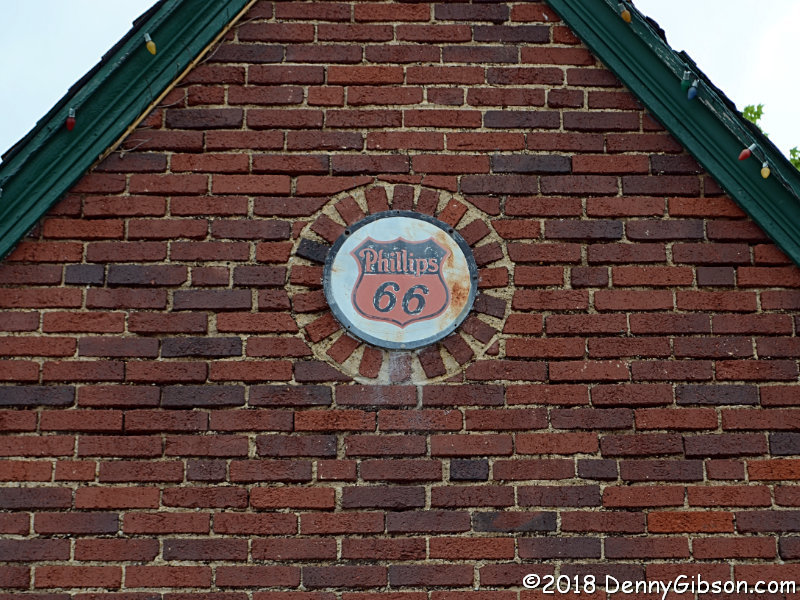 This misses being on the Jefferson Highway by about a quarter mile. It's
in the town of Atoka.
This misses being on the Jefferson Highway by about a quarter mile. It's
in the town of Atoka.
|
|
|
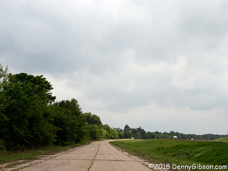 The drive south of Tushka was no less interesting the second time than it
was the first
in 2015, nor was the
task of selecting pictures any easier. The 2015 page is referring to the
distance between leaving and returning to current US-69 when it talks of
"...more than twenty miles of old US-69". The pictures on both
that page and this were are taken in the first twelve and a half miles of
that section before it reaches the truly paved Caddo Highway roughly two
miles north of the town of Caddo. I've avoided a duplication of the 2015
set although there is some overlap.
The drive south of Tushka was no less interesting the second time than it
was the first
in 2015, nor was the
task of selecting pictures any easier. The 2015 page is referring to the
distance between leaving and returning to current US-69 when it talks of
"...more than twenty miles of old US-69". The pictures on both
that page and this were are taken in the first twelve and a half miles of
that section before it reaches the truly paved Caddo Highway roughly two
miles north of the town of Caddo. I've avoided a duplication of the 2015
set although there is some overlap.
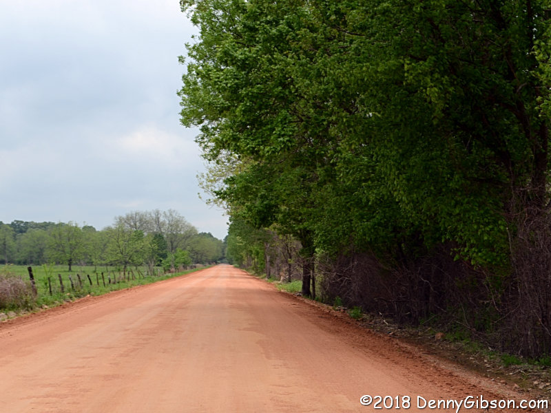
The departure from US-69 is onto old concrete pavement that runs for a total of four miles. Garmin calls this Big Ben Road. Google has no name for it. About a half-mile in, I made a jump to the left over gravel to more concrete the both Garmin and Google call simply Old Hwy. A small amount is paved, a smaller amount clearly was paved but can't really be called that today, and the bulk may have never been paved although I can't be certain of that. |
|
|
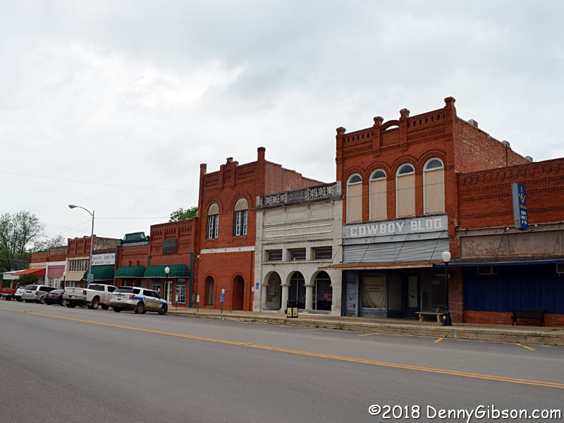
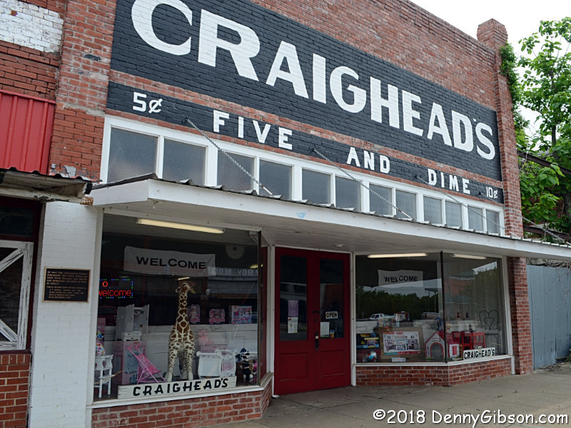
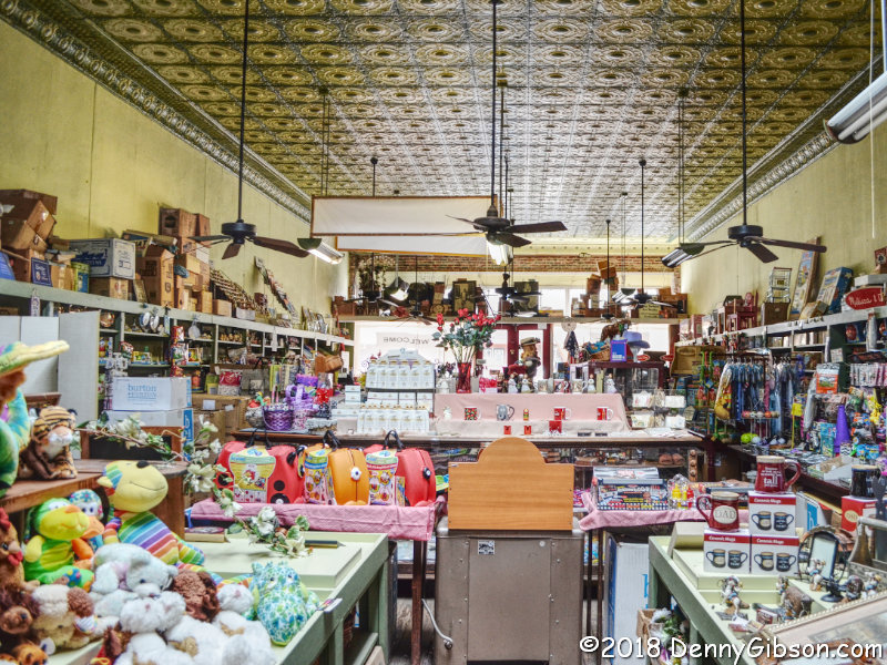
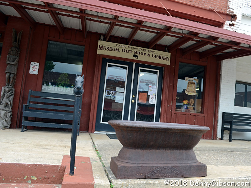
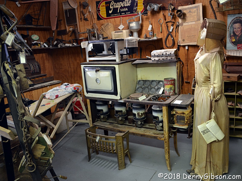
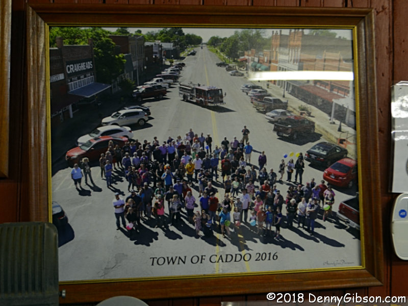
 The majority of buildings on Caddo's Buffalo Street are empty. Notable
exceptions are Craighead's Five and Dime and, directly across the
street, the Indian Territory Museum. I enjoyed chatting with the
friendly female operators in both. One of my favorite items in the museum
is not old at all. It's a 2016 picture of Caddo
residents taken from the bucket of a "cherry picker". It wasn't
a big holiday or any otherwise special event. Someone just decided that
the town needed its picture taken and invited anyone who cared to to join
in. That's what I like about it.
The majority of buildings on Caddo's Buffalo Street are empty. Notable
exceptions are Craighead's Five and Dime and, directly across the
street, the Indian Territory Museum. I enjoyed chatting with the
friendly female operators in both. One of my favorite items in the museum
is not old at all. It's a 2016 picture of Caddo
residents taken from the bucket of a "cherry picker". It wasn't
a big holiday or any otherwise special event. Someone just decided that
the town needed its picture taken and invited anyone who cared to to join
in. That's what I like about it.
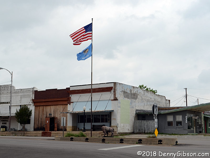
Buffalo Street got its name by virtue of starting life as a buffalo trail. Images and silhouettes of the animal can be found up and down its length. A buffalo statue stands next to a flag pole at the eastern end with United States and Oklahoma flags proudly flying overhead. Caddo's a cool town. |
|
|
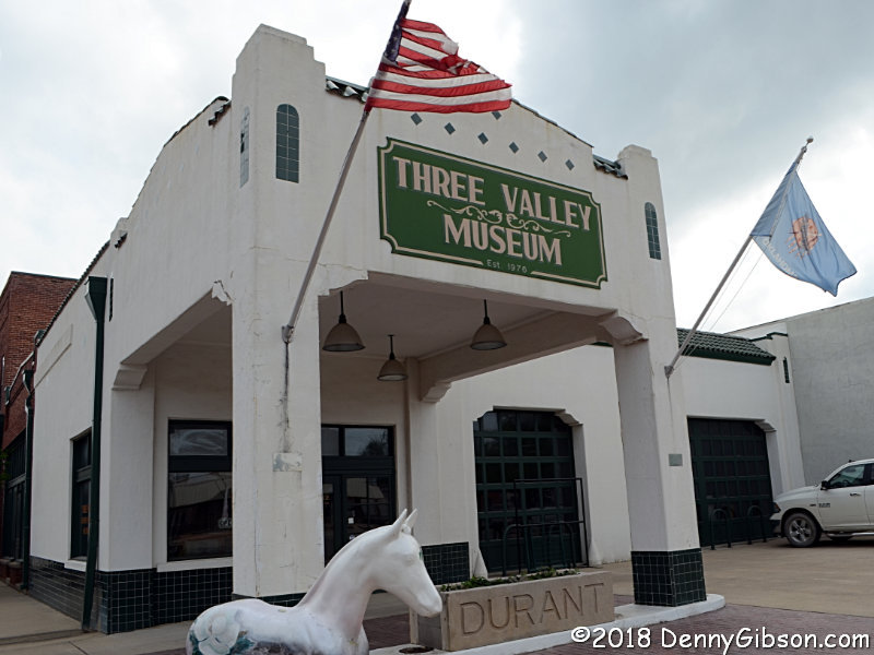
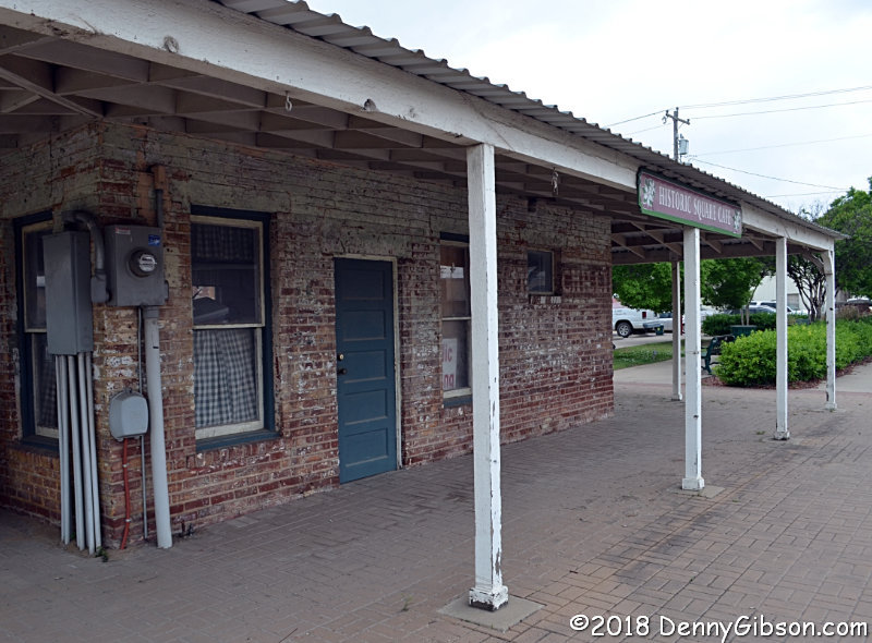 The two things I remember about Durant are this cool but empty old cafe
and the former World's Largest Peanut. I didn't make it to the peanut this
time but did make it to the Three Valley Museum inside an old gas station. No
pictures are allowed. Or maybe they are. The lady was still trying to
decide when I told her I just wouldn't take any and headed on in.
The two things I remember about Durant are this cool but empty old cafe
and the former World's Largest Peanut. I didn't make it to the peanut this
time but did make it to the Three Valley Museum inside an old gas station. No
pictures are allowed. Or maybe they are. The lady was still trying to
decide when I told her I just wouldn't take any and headed on in.
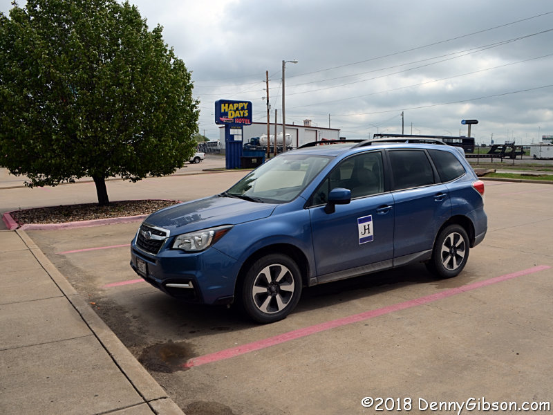
My search for a motel turned up better offerings in nearby Denison, Texas, than in Durant so that's where I ended my day. |
|
|
| [Prev] [Site Home] [Trip Home] [Contact] [Next] |