Half a Canyon
Prev
Next


|
Day 17: June 25, 2011 Half a Canyon |
Prev Next |
|
|
|
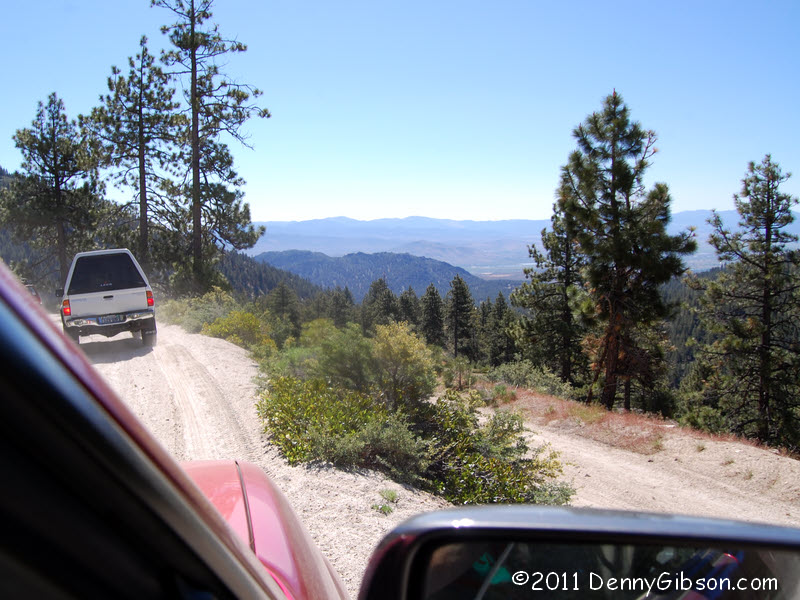
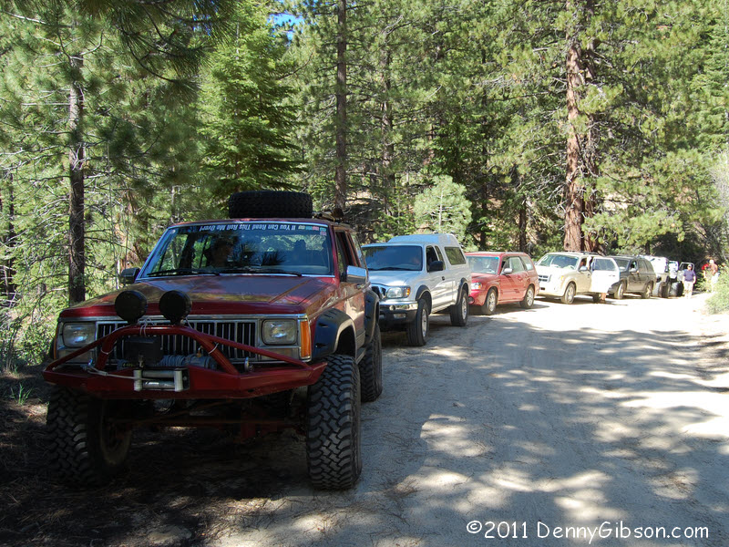
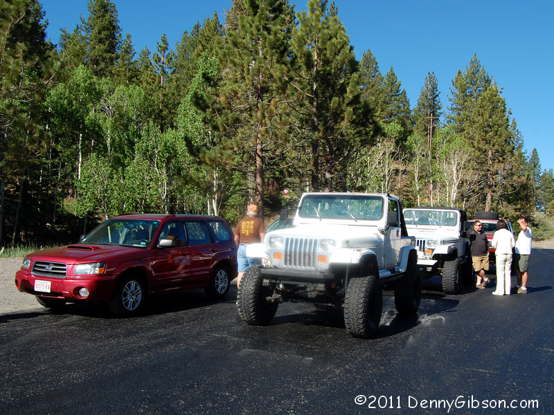 Today it was Jim Bomar's turn to lead a tour on his side of the state
line. That means Nevada and Jim's choice was Kings Canyon. I knew that
high clearance vehicles were required and had been looking forward to
driving the road in my new Forester. But I had second thoughts when Jim
stated that vehicles "will get some Nevada pin striping"
(i.e., small scratches from bushes and branches) and that fact was further
stressed in a handout. I know I should probably just take a hammer and get
it over with but, at just two months old, going out of my way to get my
car scratched didn't seem wise. I wimped out and landed a ride in Jim
Peters' Forester. Jim's car was also relatively scratch free but he
decided it "was about time". Jim Bomar's jacked up Cherokee and
his sons' stripped and ready Renegades raised both confidence and doubt
for those driving an assortment of mild mannered SUVs.
Today it was Jim Bomar's turn to lead a tour on his side of the state
line. That means Nevada and Jim's choice was Kings Canyon. I knew that
high clearance vehicles were required and had been looking forward to
driving the road in my new Forester. But I had second thoughts when Jim
stated that vehicles "will get some Nevada pin striping"
(i.e., small scratches from bushes and branches) and that fact was further
stressed in a handout. I know I should probably just take a hammer and get
it over with but, at just two months old, going out of my way to get my
car scratched didn't seem wise. I wimped out and landed a ride in Jim
Peters' Forester. Jim's car was also relatively scratch free but he
decided it "was about time". Jim Bomar's jacked up Cherokee and
his sons' stripped and ready Renegades raised both confidence and doubt
for those driving an assortment of mild mannered SUVs.
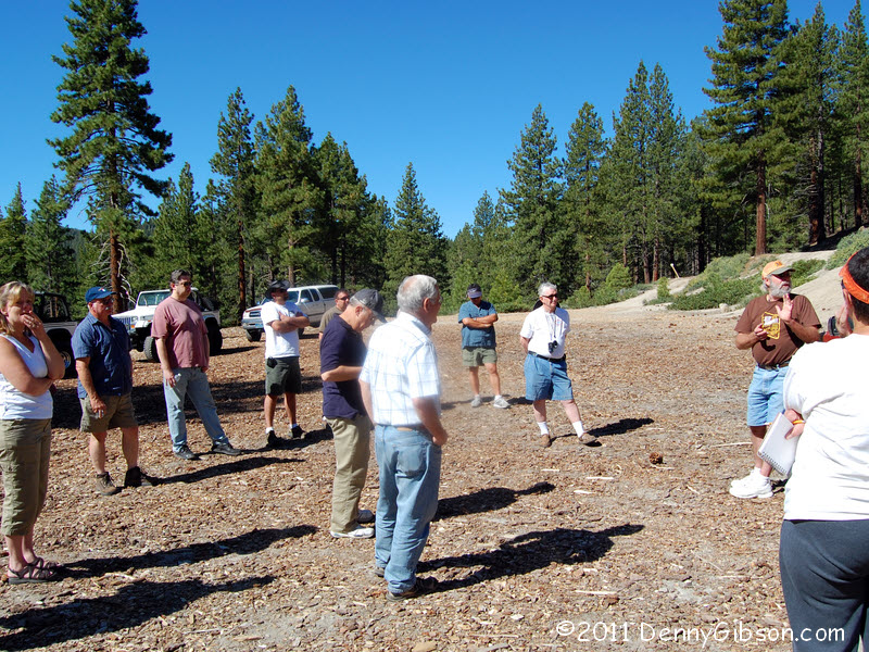
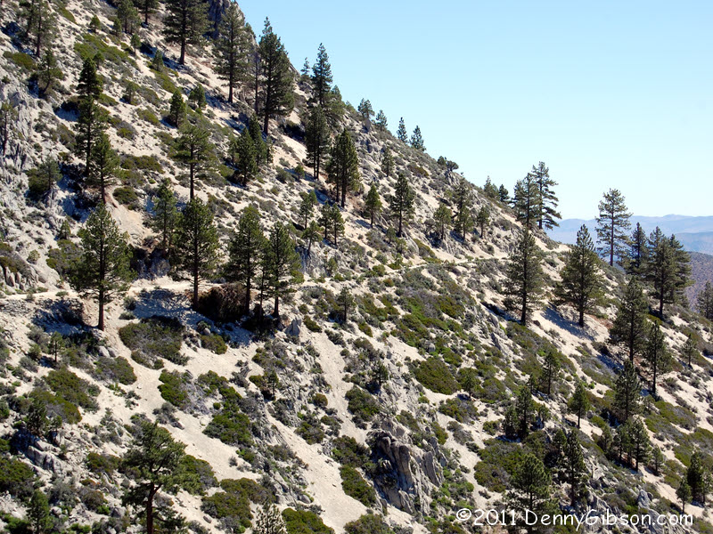
This was a wagon road in the mid-nineteenth century but was pretty much abandoned when the railroad came through. It was resurrected as the route of the Lincoln Highway between 1913 and 1925 but was never paved. After crossing today's US 50 and driving a short distance up the dirt road, we regrouped in a large open area where Jim shared some words of wisdom. Then it was off to see the ruts, drop-offs, encroaching foliage, and gorgeous views. |
|
|
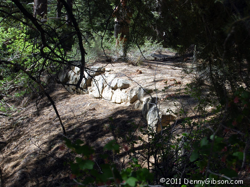
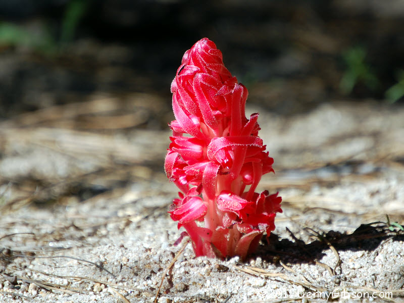
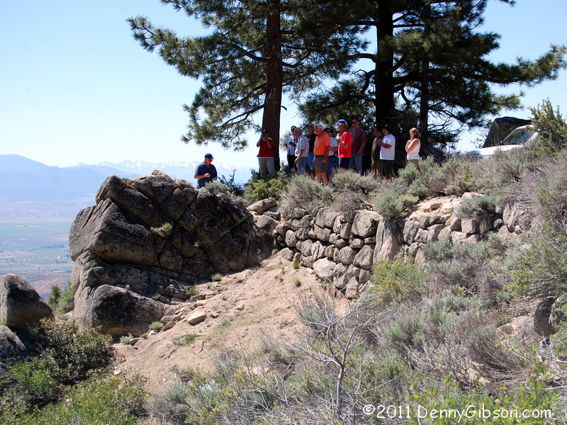
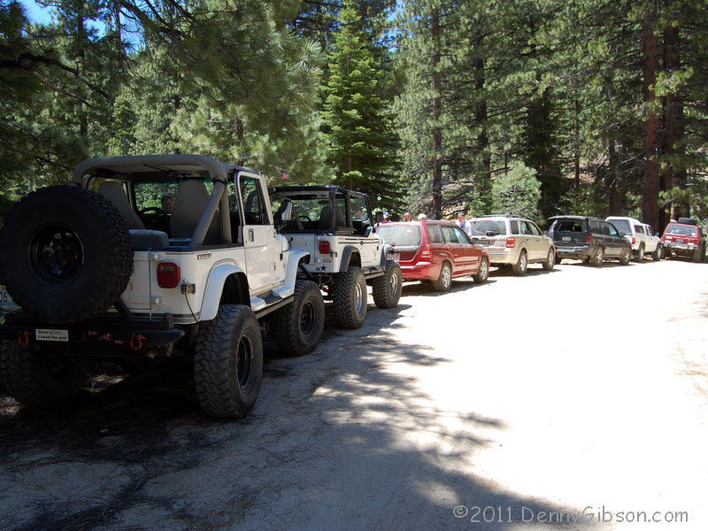
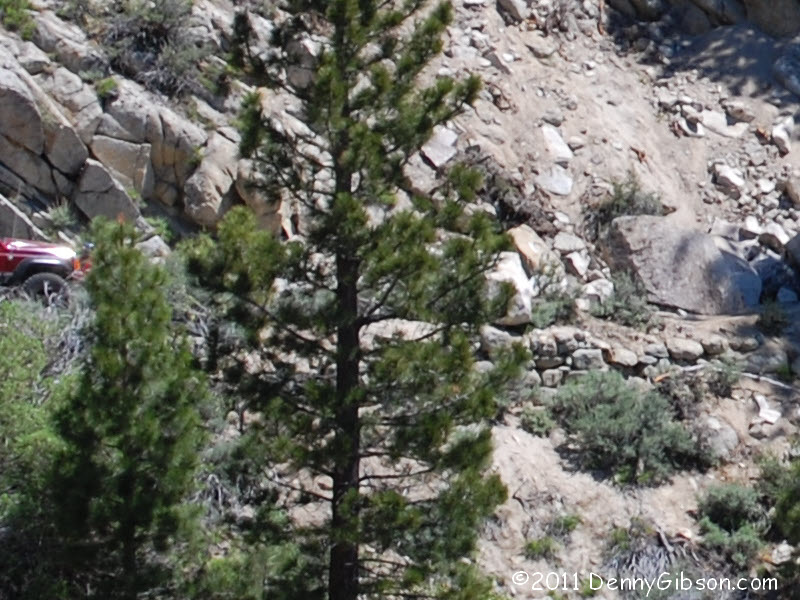
 There is lots of rock work along the road to support and level it. While
we were stopped to look some of it over, I grabbed a vehicle group shot
and a shot of some of the local flora. Some in the group called this a
Snow Flower and others called it a Red Popup. I, of course, have no idea.
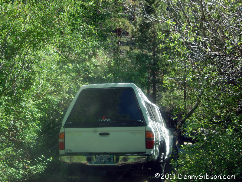
We eventually took off to add mud to the list of observed trail features.
There is lots of rock work along the road to support and level it. While
we were stopped to look some of it over, I grabbed a vehicle group shot
and a shot of some of the local flora. Some in the group called this a
Snow Flower and others called it a Red Popup. I, of course, have no idea.
We eventually took off to add mud to the list of observed trail features.
|
|
|
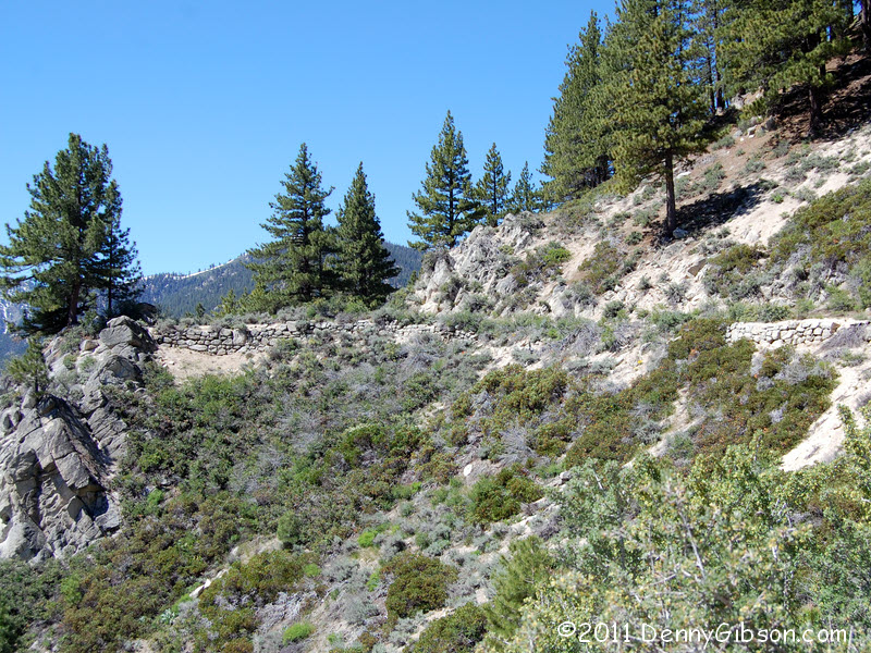
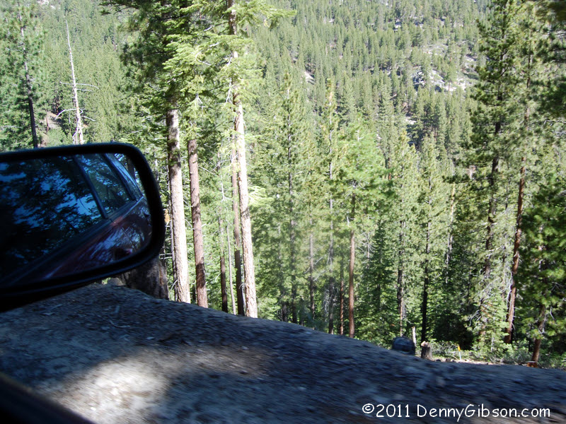
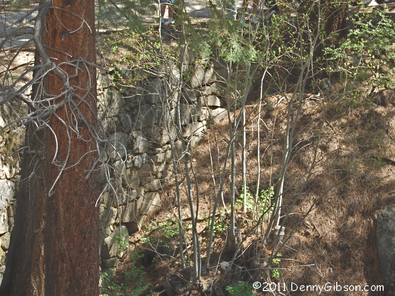
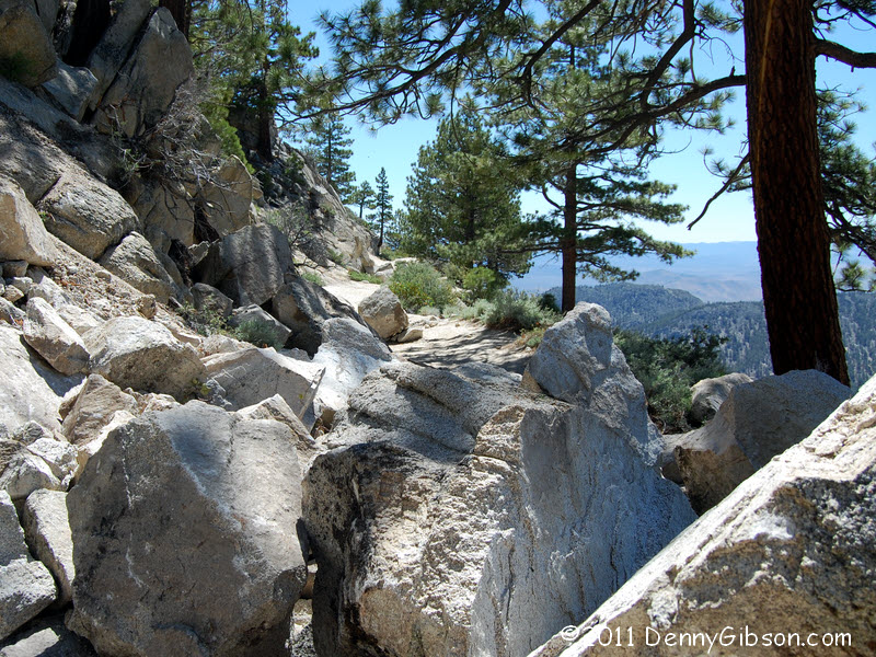
 This small turnout provides a pretty good view of some rock work and it
also lets us see the trail ahead. The third picture looks back at the
turnout from where we came to a stop just around the bend.
This small turnout provides a pretty good view of some rock work and it
also lets us see the trail ahead. The third picture looks back at the
turnout from where we came to a stop just around the bend.
|
|
|
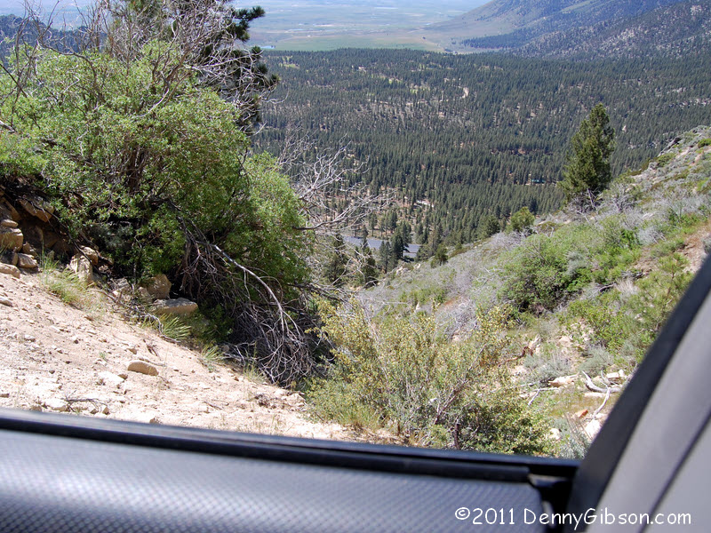
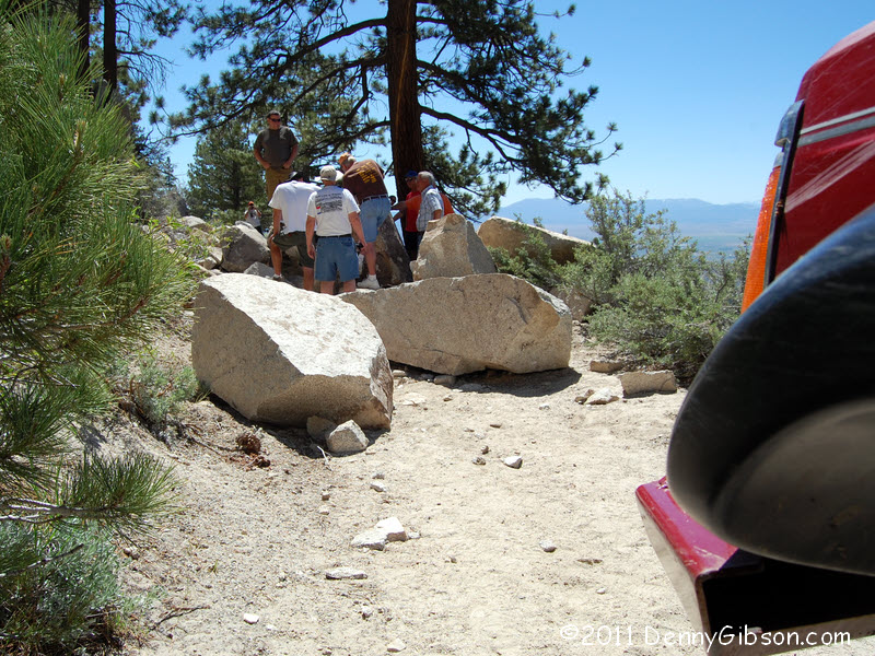
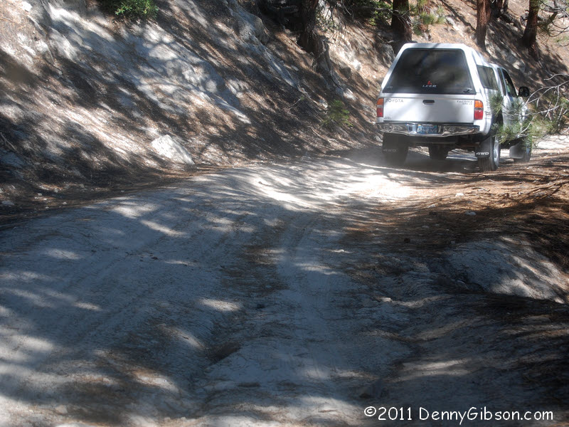
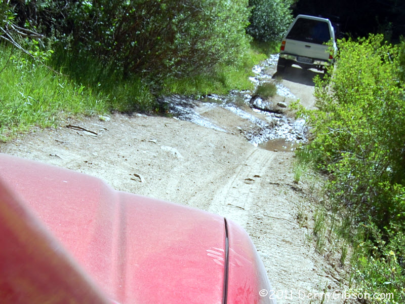
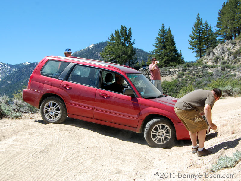
 The first picture is the view straight out my window. The second is the
view ahead. Word filtered back about a blockage and everyone but me went
forward to take a look. I didn't fancy opening my door without someplace
to put my feet. At last curiosity got the better of me and I climbed
across the car and out the driver's door.
The first picture is the view straight out my window. The second is the
view ahead. Word filtered back about a blockage and everyone but me went
forward to take a look. I didn't fancy opening my door without someplace
to put my feet. At last curiosity got the better of me and I climbed
across the car and out the driver's door.
A cyclist and a runner had passed us earlier and both had told Jim about the rockslide. Of course they weren't able to pinpoint it exactly or describe it completely though both expressed doubt that we could get through. Jim was hoping that it would be small enough to move or positioned where we could get past. It was neither. The last picture shows the other side of the window I was looking out of a bit earlier. |
|
|
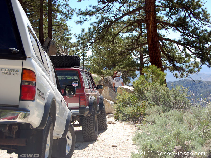
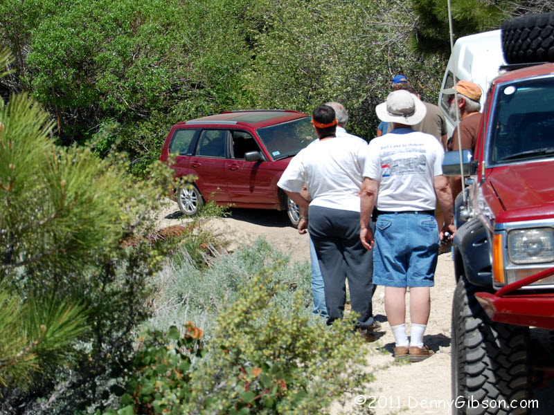
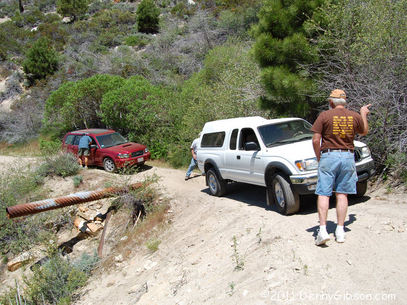 What next ensued was some fairly high intensity backing and some careful
multi-point turning around. Experienced offroaders helped guide and
sometimes drove the vehicles until all were pointed the right way. In the
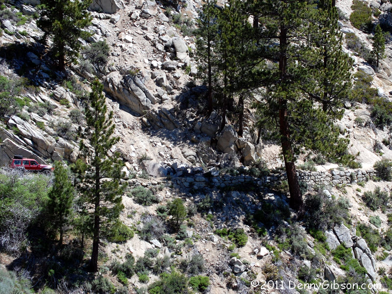
last picture, Jim's Jeep is still sitting where it encountered the
rockslide. The slide can technically be seen in the picture but it sure
isn't obvious and, even zooming in on the area
where we now know the rocks to be, does not show the blockage.
What next ensued was some fairly high intensity backing and some careful
multi-point turning around. Experienced offroaders helped guide and
sometimes drove the vehicles until all were pointed the right way. In the
last picture, Jim's Jeep is still sitting where it encountered the
rockslide. The slide can technically be seen in the picture but it sure
isn't obvious and, even zooming in on the area
where we now know the rocks to be, does not show the blockage.
|
|
|
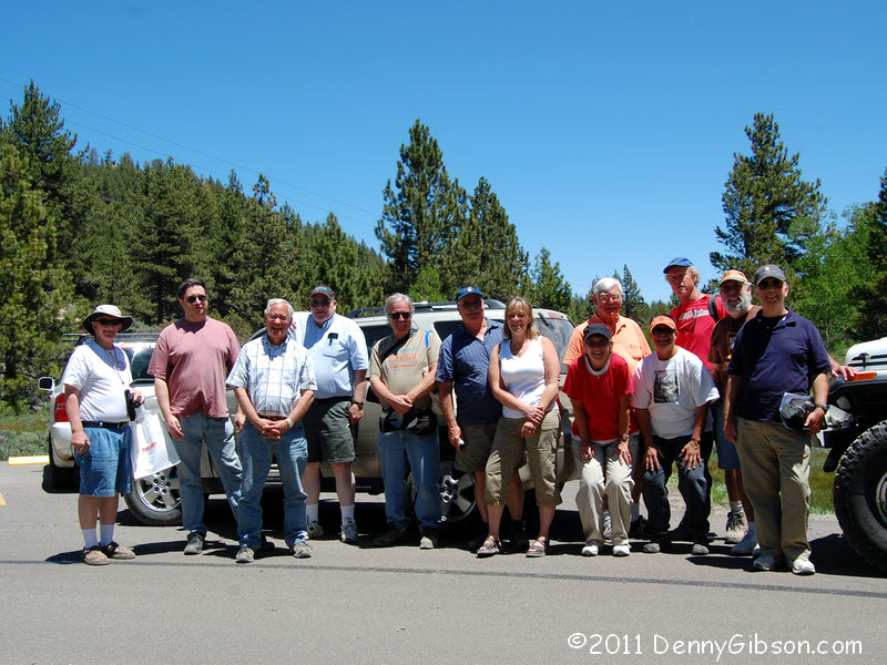 The adventure ends with two group shots. One, at our lunch stop, showing
that all the vehicles survived and another, back in the parking lot,
showing that the people did too. I believe the estimate was that we made
it through about five of the old road's twelve or so miles. The rest is
still waiting.
The adventure ends with two group shots. One, at our lunch stop, showing
that all the vehicles survived and another, back in the parking lot,
showing that the people did too. I believe the estimate was that we made
it through about five of the old road's twelve or so miles. The rest is
still waiting.
|
|
|
| [Prev] [Site Home] [Trip Home] [Contact] [Next] |