A Little Flakey
Prev
Next


|
Day 2: March 29, 2009 A Little Flakey |
Prev Next |
|
|
|
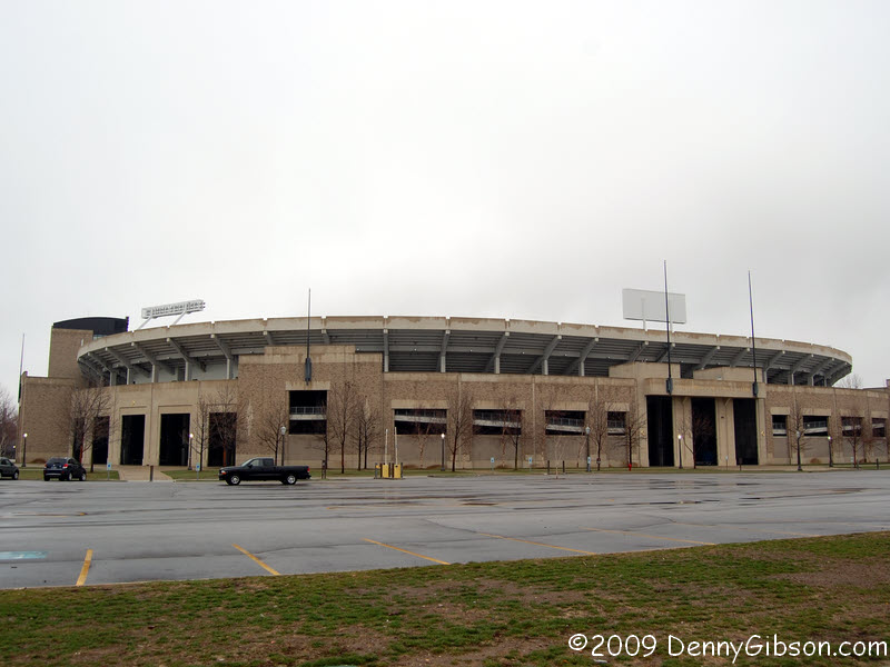
 From our camp site on the west side of South Bend, we started the day by
slipping back into town for a look at the Notre Dame campus. Very impressive.
No small or shabby buildings here.
From our camp site on the west side of South Bend, we started the day by
slipping back into town for a look at the Notre Dame campus. Very impressive.
No small or shabby buildings here.
|
|
|

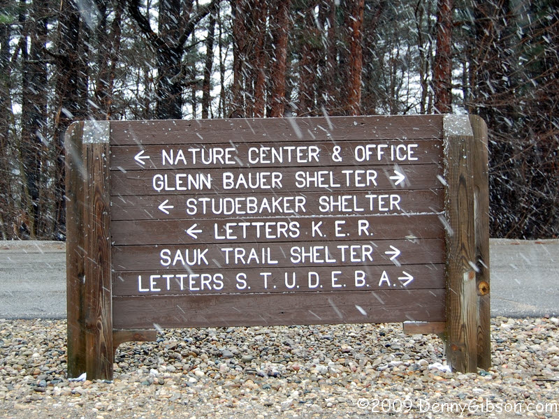

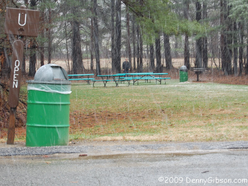
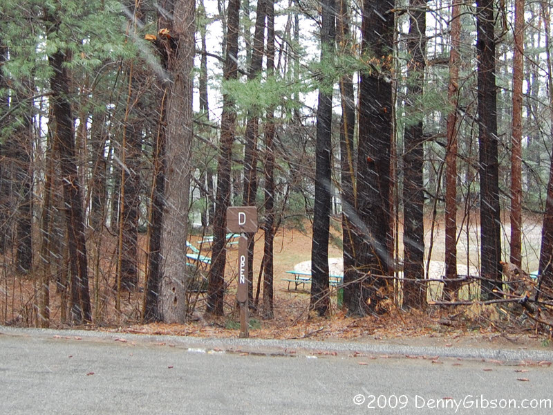 Near New Carlisle, we left the Lincoln Highway again to see "the largest living
advertisement in the world". That would be the several thousand trees
spelling out
STUDEBAKER at the defunct automaker's "Million
Dollar Outdoor Testing Laboratory". The "laboratory", which
included the first ever dedicated automobile test track, is now split
between an active Bosch Corporation facility and a county park. The
readable trees are reachable in the park portion. If you look carefully at
the third picture, you can see Dale forming the letter 'U' from inside the
tree formed version. He's rather blurry behind the springtime snow and the
picnic tables. This somewhat clearer view might
help in spotting him. The last picture shows tables and a fire ring inside
the letter 'D'.
Near New Carlisle, we left the Lincoln Highway again to see "the largest living
advertisement in the world". That would be the several thousand trees
spelling out
STUDEBAKER at the defunct automaker's "Million
Dollar Outdoor Testing Laboratory". The "laboratory", which
included the first ever dedicated automobile test track, is now split
between an active Bosch Corporation facility and a county park. The
readable trees are reachable in the park portion. If you look carefully at
the third picture, you can see Dale forming the letter 'U' from inside the
tree formed version. He's rather blurry behind the springtime snow and the
picnic tables. This somewhat clearer view might
help in spotting him. The last picture shows tables and a fire ring inside
the letter 'D'.
|
|
|
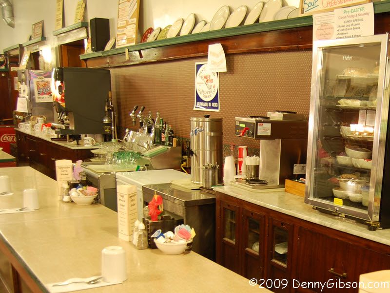
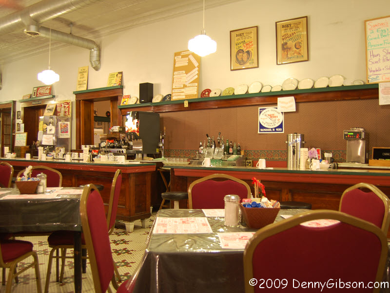
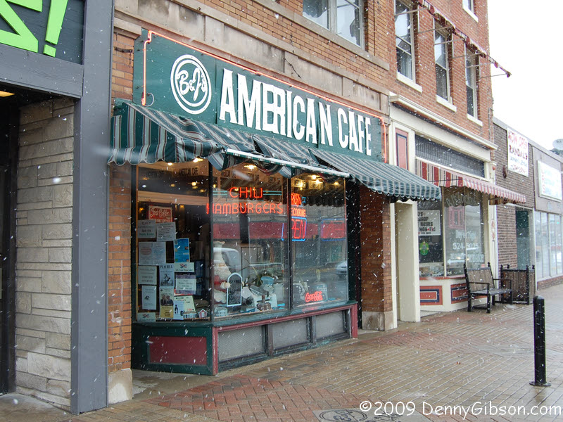 We enjoyed a late breakfast (and very friendly service from Mary Beth) at
B&J's American Cafe in La Porte. Billie & John Pappas have run the place for
the last eleven years but it's been in business since 1922.
We enjoyed a late breakfast (and very friendly service from Mary Beth) at
B&J's American Cafe in La Porte. Billie & John Pappas have run the place for
the last eleven years but it's been in business since 1922.
|
|
|
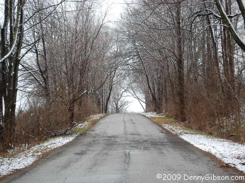

 There's more of the end-of-March snow in the first picture. It was taken along
one of the older sections west of Westville. Valparaiso includes Lincoln
Highway markers on the actual street signs. Nice job, Val. The third picture
is of the bridge over Turkey Creek between New Elliot and Schererville.
There's more of the end-of-March snow in the first picture. It was taken along
one of the older sections west of Westville. Valparaiso includes Lincoln
Highway markers on the actual street signs. Nice job, Val. The third picture
is of the bridge over Turkey Creek between New Elliot and Schererville.
|
|
|
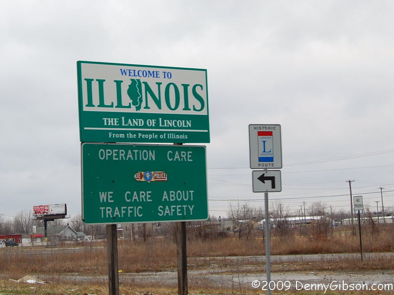 We reached our western goal and Dale pulled off a quick draw shot of signs
at the Illinois border. Our turnaround was just inside the state.
We reached our western goal and Dale pulled off a quick draw shot of signs
at the Illinois border. Our turnaround was just inside the state.
|
|
|
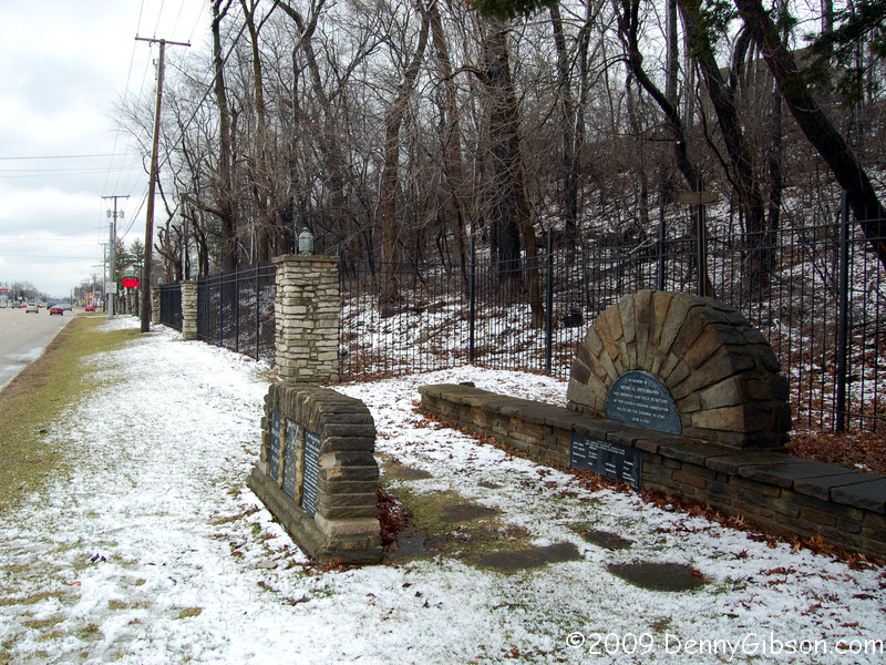
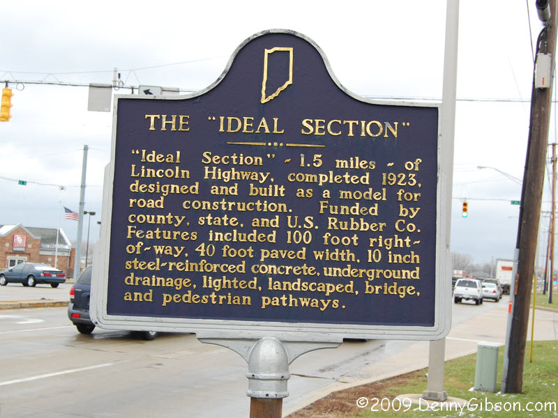
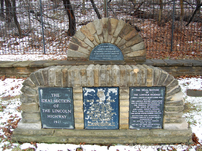
 We checked out the Ideal Section, the 1923 demonstration of how roads should
be built, after turning east. The stone markers
are on a very busy multi-lane
stretch which people have risked crossing on foot. We risked getting locked
behind the gates of Myer's Castle (the red sign in the background of the first
picture) instead. The last picture was taken at a Walgreen's convinced
by someone to honor the road it's on. That's macadam from the original road
embedded in the sidewalk.
We checked out the Ideal Section, the 1923 demonstration of how roads should
be built, after turning east. The stone markers
are on a very busy multi-lane
stretch which people have risked crossing on foot. We risked getting locked
behind the gates of Myer's Castle (the red sign in the background of the first
picture) instead. The last picture was taken at a Walgreen's convinced
by someone to honor the road it's on. That's macadam from the original road
embedded in the sidewalk.
|
|
|
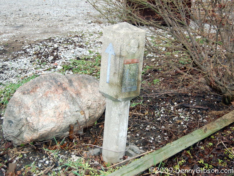
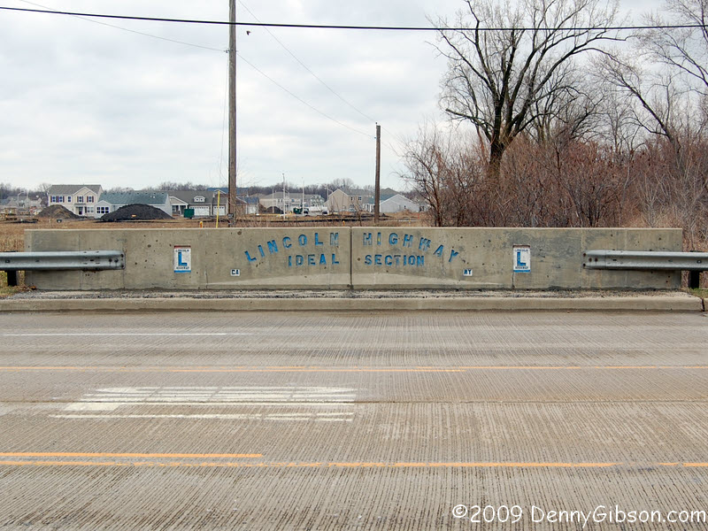
 After returning to Valparaiso, we left town on the 1928 alignment of the
Lincoln Highway. This section, west of Hamlet, is the roughest bit of road
we've been on so far. From the width of that bridge, it sure seems as if
someone thought this would someday be four-lane. When the four-lane came,
it bypassed Hamlet to the north. The original marker is in a yard in Hamlet
just north of the old road but is very near its original spot. It's believed
to be one of only three in Indiana you can say that about.
After returning to Valparaiso, we left town on the 1928 alignment of the
Lincoln Highway. This section, west of Hamlet, is the roughest bit of road
we've been on so far. From the width of that bridge, it sure seems as if
someone thought this would someday be four-lane. When the four-lane came,
it bypassed Hamlet to the north. The original marker is in a yard in Hamlet
just north of the old road but is very near its original spot. It's believed
to be one of only three in Indiana you can say that about.
|
|
|
| [Prev] [Site Home] [Trip Home] [Contact] [Next] |