Last week's walk to Tadmor in the Taylorsville MetroPark was spontaneous. Not so this week's visit to its neighbor. I regularly pass within a few miles of the park when traveling to and from my parents and this week, when I planned a trip home, I also planned a trip to the park. This was largely because of some American Road e-group comments in which Route 40 expert Frank Brusca alerted me to the history to be found a few miles west of Tadmor. The parks at Taylorsville and Englewood are both the result of the Miami Conservancy District's all out attack on the area's frequent flooding. By the early 1920s, dams in both locations had rerouted the National Road and depopulated the surrounding areas.
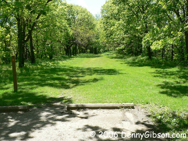
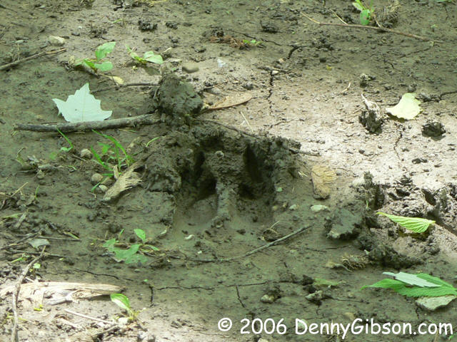
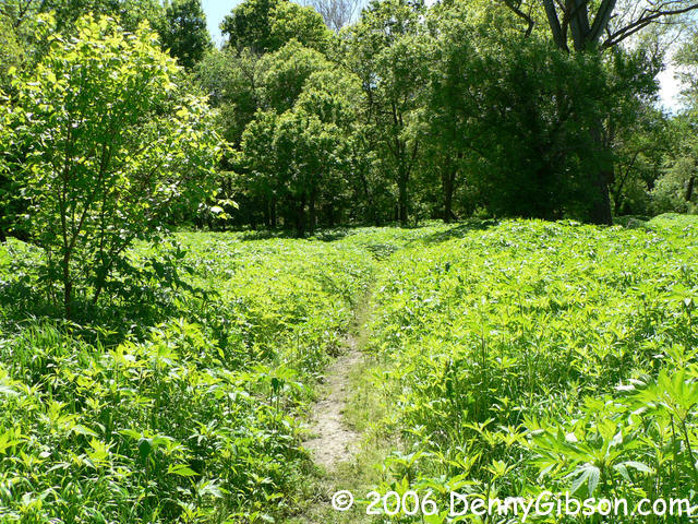
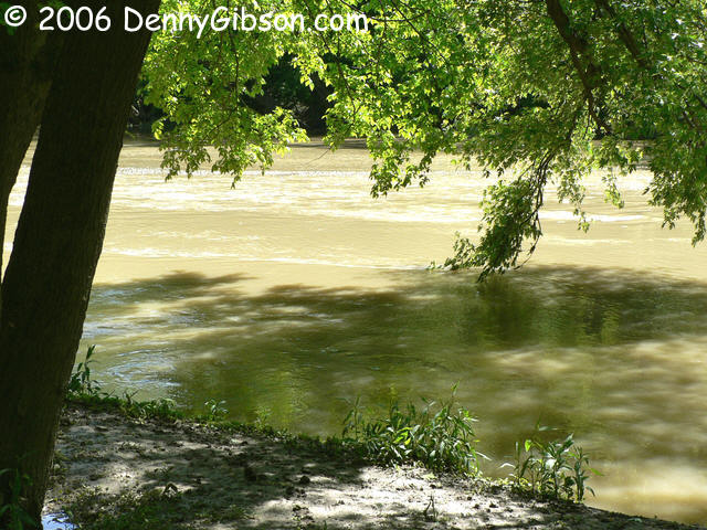
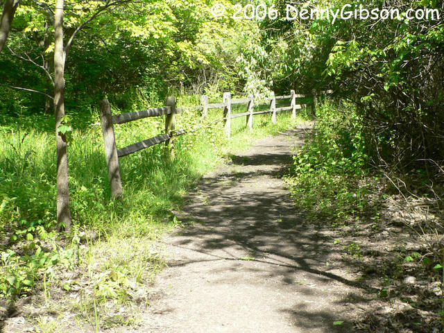
For me, the primary target was a bridge that once carried the National Road. I looked at the park map but failed to actually read the text beside it. Not realizing that it was a complete and active bridge I was seeking, I thought I might find remnants of a bridge over the Stillwater River and headed toward the river over what was once the path of the National Road. It tapered to a narrow but easily followed trail which formed a loop to the river and back. It was soon obvious that not only humans use the trail. Even though the day was sunny, some rain had fallen on each of the ten previous days and the ground was wet to the point of being slippery in spots. My grandparents owned land on the Stillwater in Darke County and I spent many hours on and in it. In the 25 miles (not counting the river's wandering) between there and here, the stream does grow.
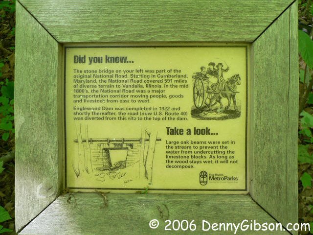
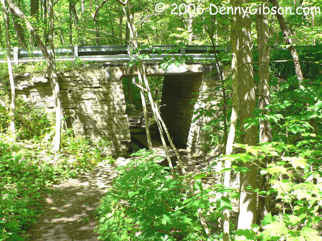
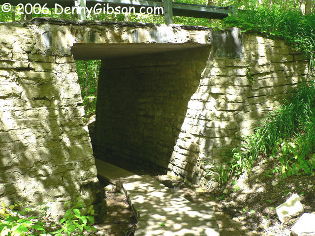
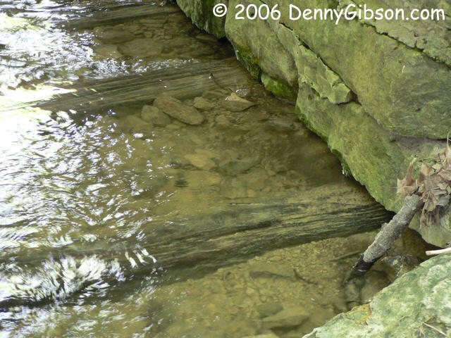
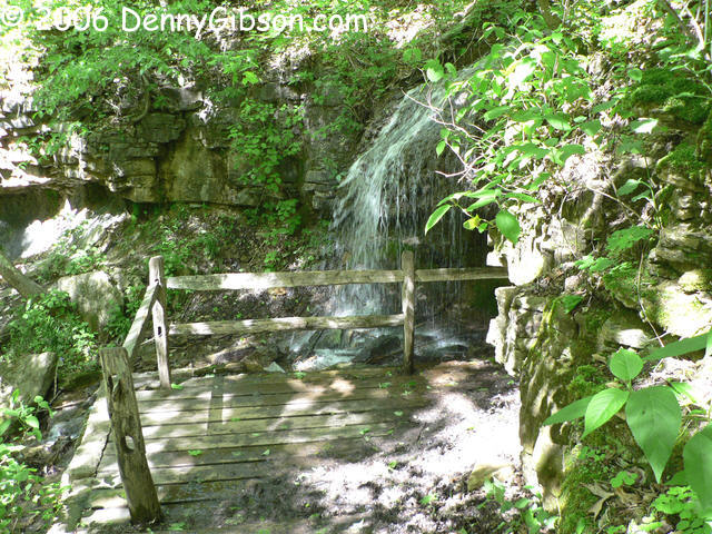
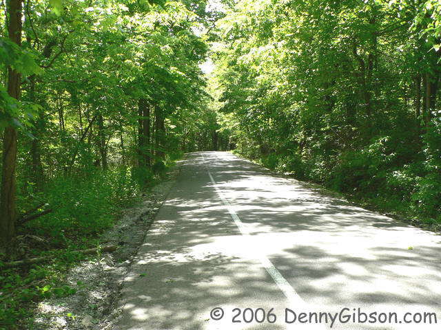
No bridge remnants were to be seen so I finally read the sidebar on the park map. Ah ha! Patty Falls was marked on the map and the sidebar said that a National Road bridge was just a "short hike down the hill" from there. What it didn't say was that the current park road passes right over the bridge. I drove over it without a clue. I studied the map some more and circled back over the one way road. From the parking lot at Patty Shelter, it's a short walk to the bridge. I've found no date for the bridge's construction but the late 1830s is my guess. Up top, the bridge is asphalt paved with modern guard rails attached. Underneath, it is entirely original; Right down to the oak beams on which the limestone bridge sits. A nearby sign explains that the beams are safe as long as they are wet.
I then made the "short hike up the hill" to Patty Falls. The trail is rather steep with steps, reinforced by wooden beams, cut into the hill side. From there I followed the trail on to the point where it returns to the paved road and followed the road back to the bridge.
|

|
|
|
|
|
|
|
|
|
|

|