In Louie's Land
Comment via blog
Prev
Next


|
Day 19: May 5, 2018 In Louie's Land Comment via blog |
Prev Next |
|
|
|
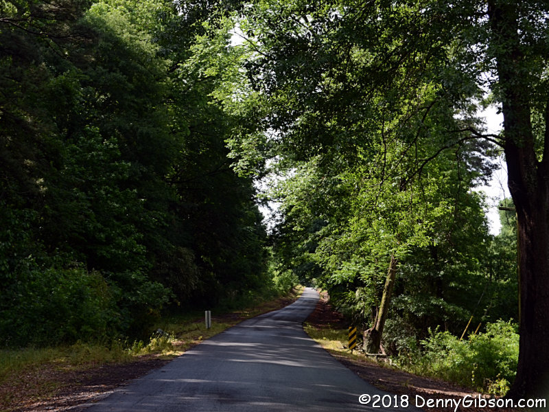
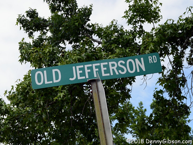
 Stonewall, Louisiana, has a skinny -- but paved and pretty -- stretch of
the route that still has Jefferson in its name. A picture of the sign that
I posted to Facebook was automatically tagged as Mansfield but the street
really is in Stonewall.
Stonewall, Louisiana, has a skinny -- but paved and pretty -- stretch of
the route that still has Jefferson in its name. A picture of the sign that
I posted to Facebook was automatically tagged as Mansfield but the street
really is in Stonewall.
|
|
|
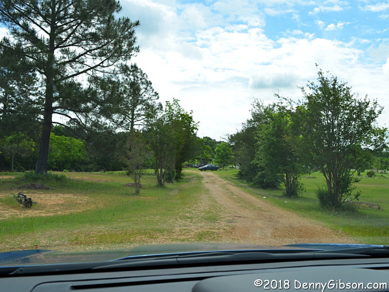
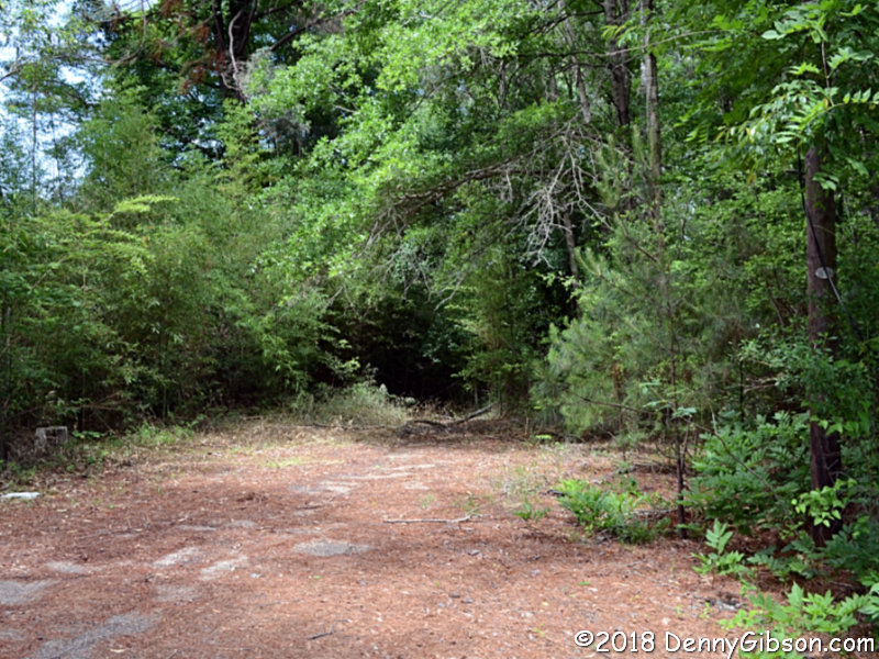
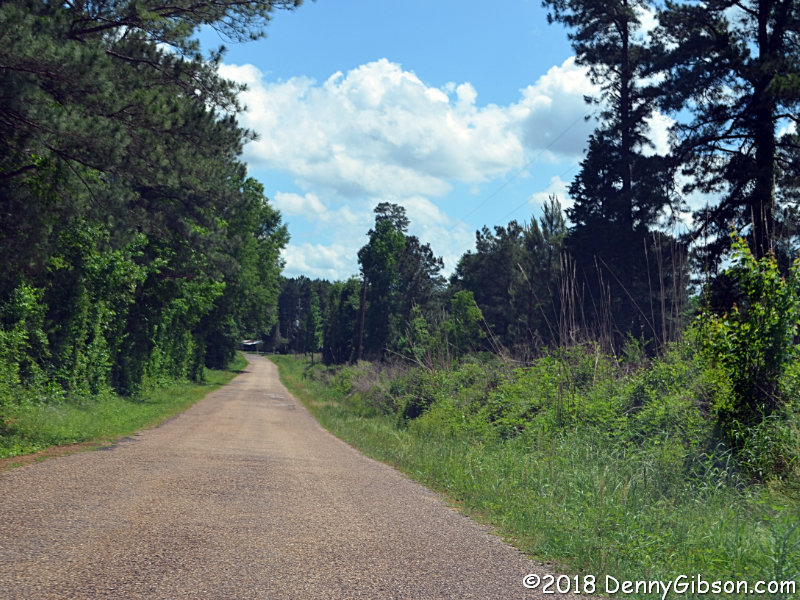
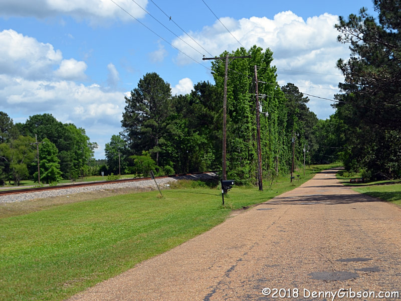
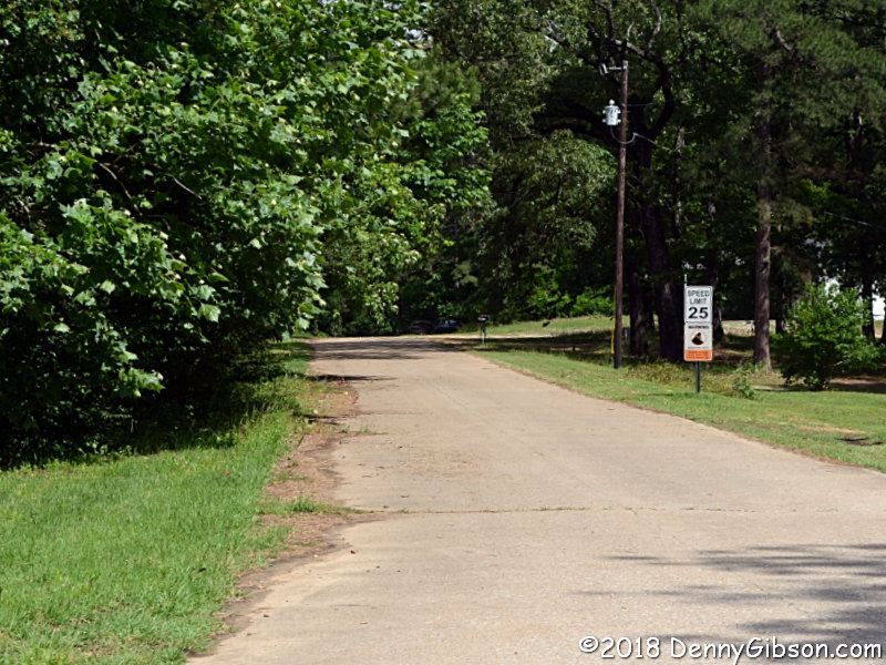
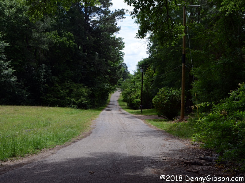 As I approached the town of Marthaville, I looked in vain for the GPS
directed turn onto Main Street. When it became obvious that I was past it,
I turned around to try again. It was possible to pull over at the
indicated point and that's where I am in the first picture. I contemplated
heading down those gravel track but became convinced that I would only end
up in someone's yard. I moved back onto the paved road and turned right at
the first opportunity. That put me at the spot shown in the second picture
which is where what is now a driveway once connected with the street in
the third picture and continued on into town.
As I approached the town of Marthaville, I looked in vain for the GPS
directed turn onto Main Street. When it became obvious that I was past it,
I turned around to try again. It was possible to pull over at the
indicated point and that's where I am in the first picture. I contemplated
heading down those gravel track but became convinced that I would only end
up in someone's yard. I moved back onto the paved road and turned right at
the first opportunity. That put me at the spot shown in the second picture
which is where what is now a driveway once connected with the street in
the third picture and continued on into town.
|
|
|
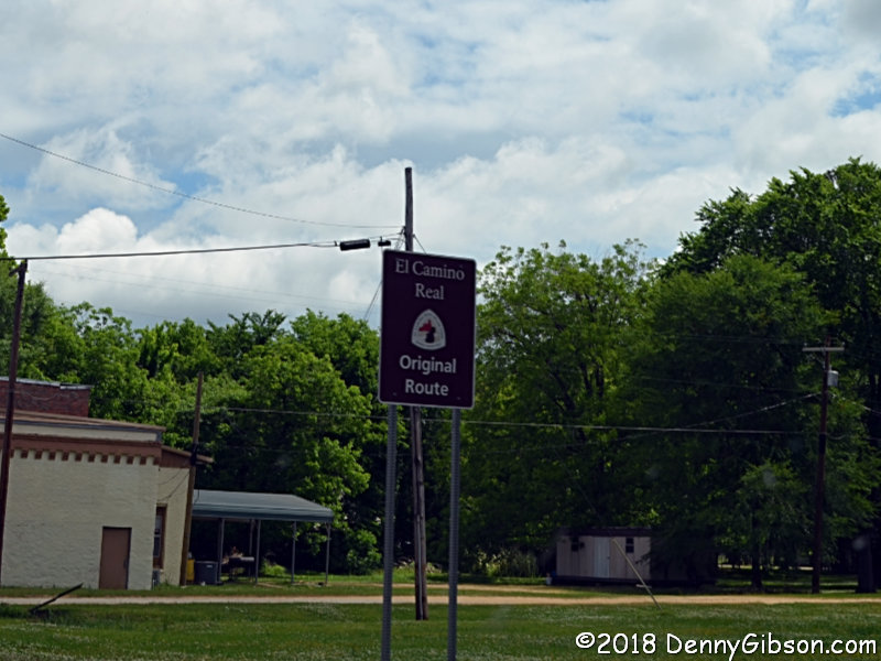 A long time before the Jefferson Highway existed, there was the San
Antonio Road, a.k.a. The King's Highway, a.k.a. El Camino Real. The
northern terminus of the San Antonio Road, which dates from 1691, was
Natchitoches.
A long time before the Jefferson Highway existed, there was the San
Antonio Road, a.k.a. The King's Highway, a.k.a. El Camino Real. The
northern terminus of the San Antonio Road, which dates from 1691, was
Natchitoches.
|
|
|
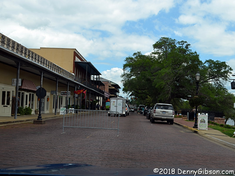
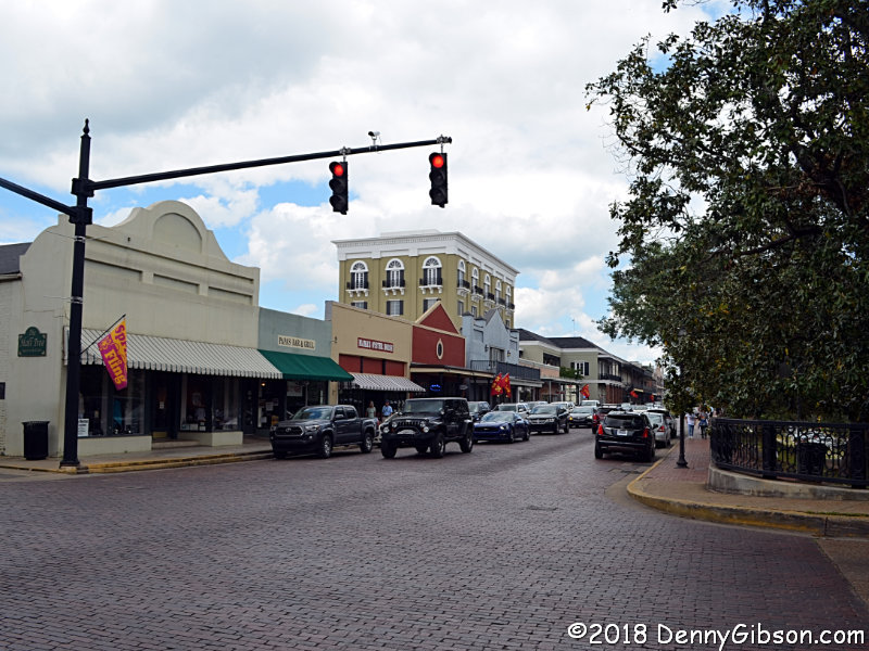
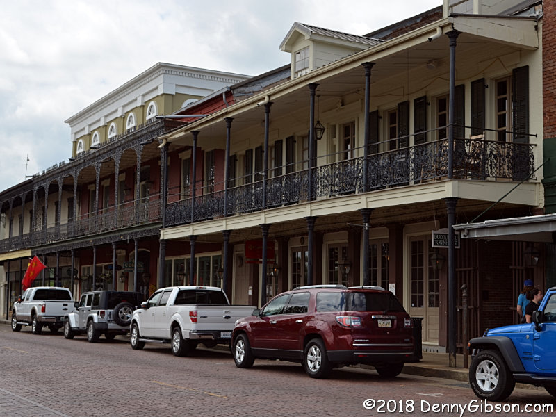
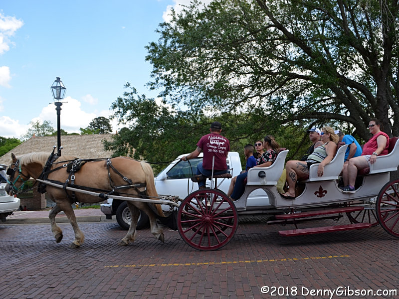
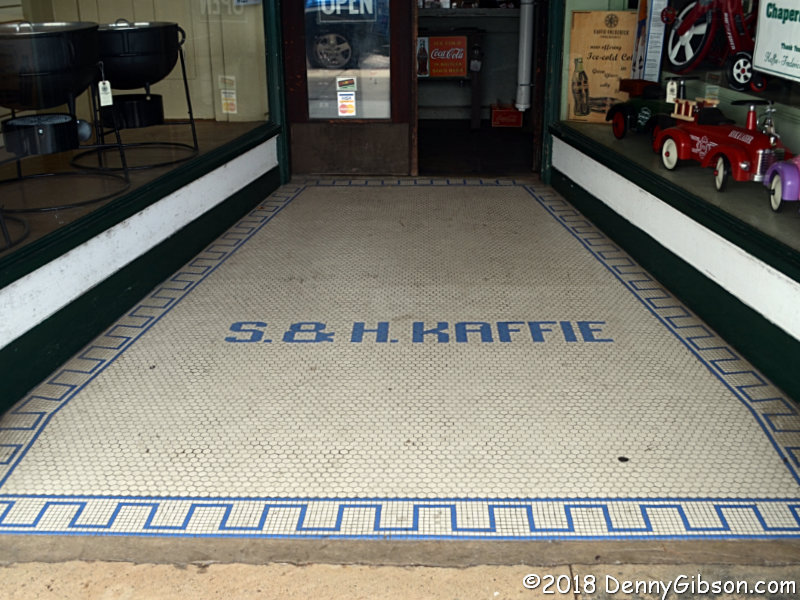
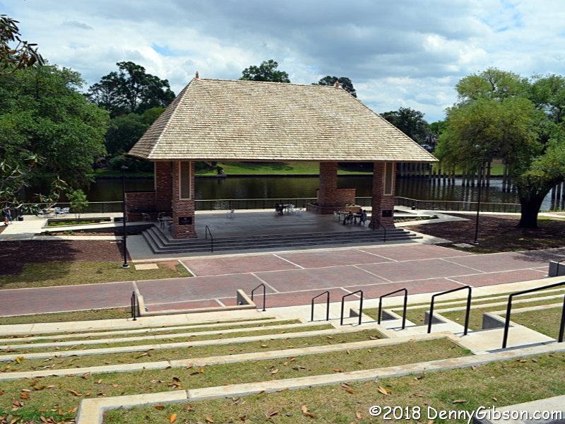 In Natchitoches, something akin to a farmers market had just closed when I
arrived and the street had not yet reopened. That meant I got diverted
toward the river and through a parking lot which was exactly what I
wanted. I would eventually enter the building with the green awning
(Papa's
Bar & Grill) to down a shrimp poor boy but first I walked the
street. The panel hanging beneath the Kaffie-Frederick sign says
"Louisiana's Oldest General Store". It was established in 1863
and is so cool it gets its own panel below. A number of buildings sport
attractive balconies, and horse drawn carriages offer a fun way to see the
city. I'm guessing that the riverfront stage is used for concerts and
other sorts of entertainment. The river behind it is the Cane.
In Natchitoches, something akin to a farmers market had just closed when I
arrived and the street had not yet reopened. That meant I got diverted
toward the river and through a parking lot which was exactly what I
wanted. I would eventually enter the building with the green awning
(Papa's
Bar & Grill) to down a shrimp poor boy but first I walked the
street. The panel hanging beneath the Kaffie-Frederick sign says
"Louisiana's Oldest General Store". It was established in 1863
and is so cool it gets its own panel below. A number of buildings sport
attractive balconies, and horse drawn carriages offer a fun way to see the
city. I'm guessing that the riverfront stage is used for concerts and
other sorts of entertainment. The river behind it is the Cane.
|
|
|
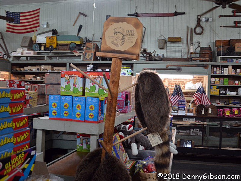
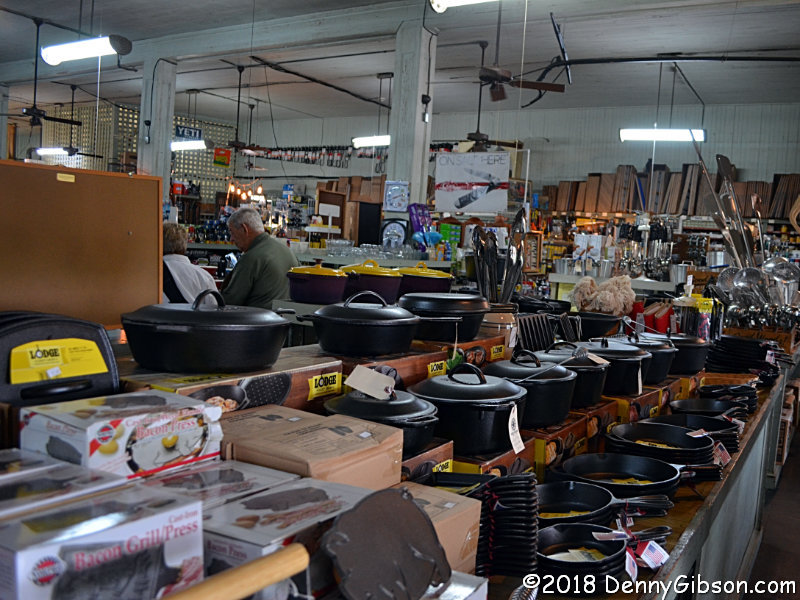
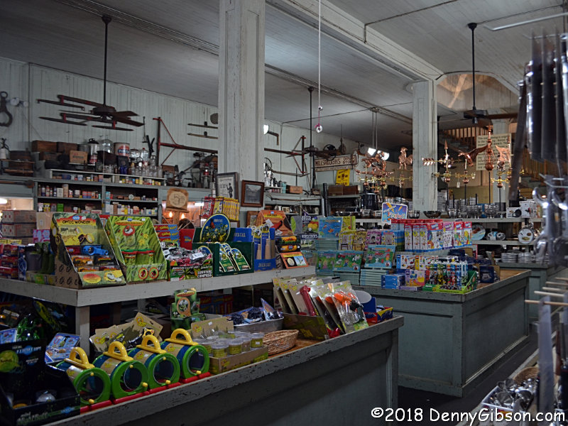
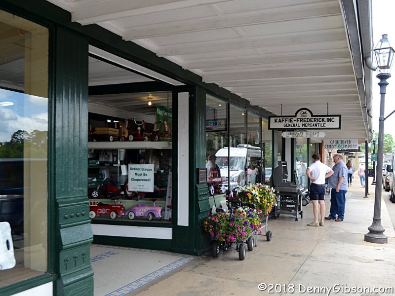
 Kaffie-Frederick
General Mercantile is clearly a if-we-ain't-got-it, you-don't-need-it
sort of place, and I didn't even go to the second floor. I started to
really regret that as I sorted through pictures. There aren't many stores
offering this variety of cast iron cook ware, and the number of places
where a Dan'l Boone coonskin cap can be acquired is even more limited.
Kaffie-Frederick
General Mercantile is clearly a if-we-ain't-got-it, you-don't-need-it
sort of place, and I didn't even go to the second floor. I started to
really regret that as I sorted through pictures. There aren't many stores
offering this variety of cast iron cook ware, and the number of places
where a Dan'l Boone coonskin cap can be acquired is even more limited.
|
|
|
 The Old Jefferson Highway name is also used for this street in Montgomery,
Louisiana. The second picture is a good example of the relationship
between early highways and the railroads.
The Old Jefferson Highway name is also used for this street in Montgomery,
Louisiana. The second picture is a good example of the relationship
between early highways and the railroads.
|
|
|
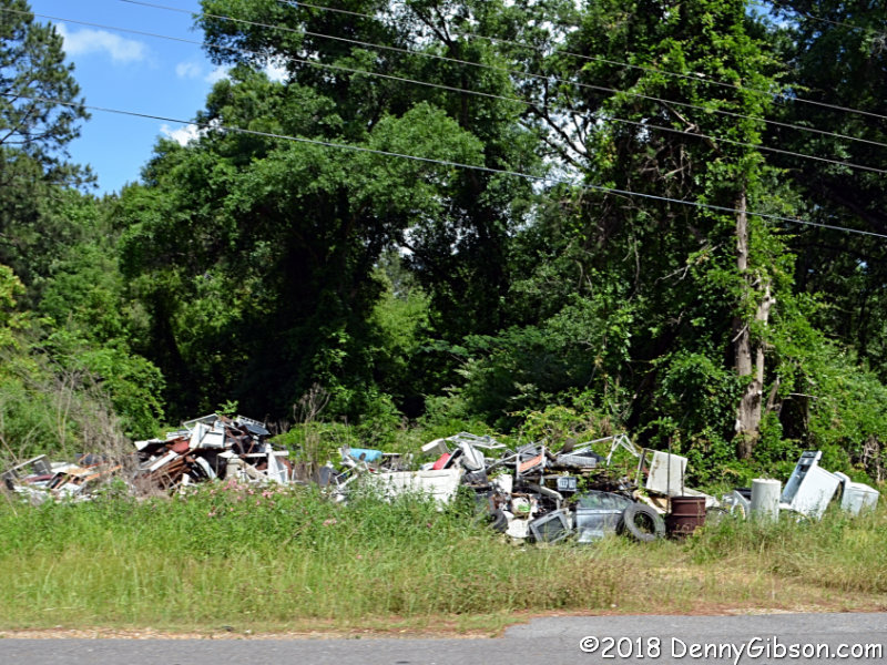
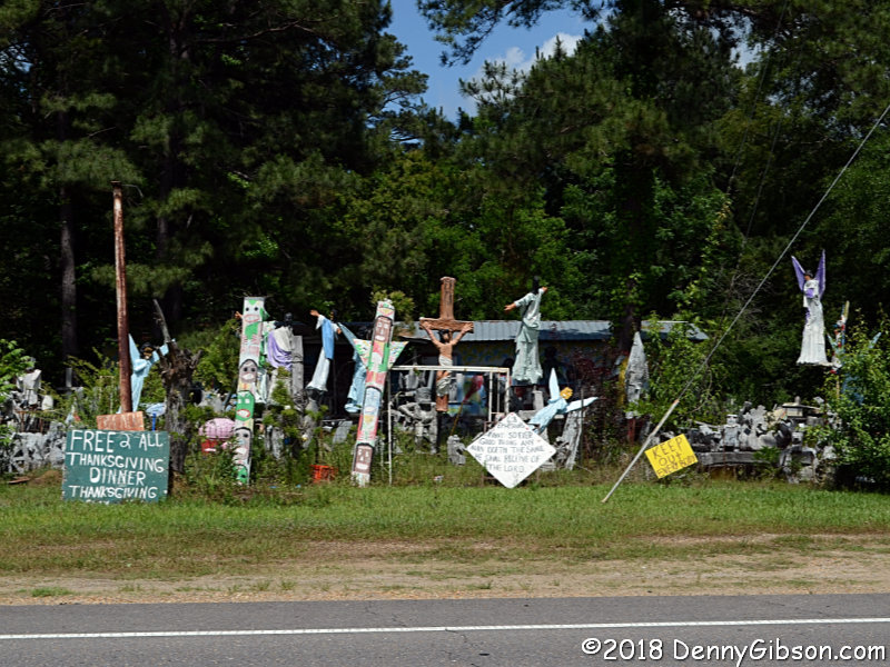
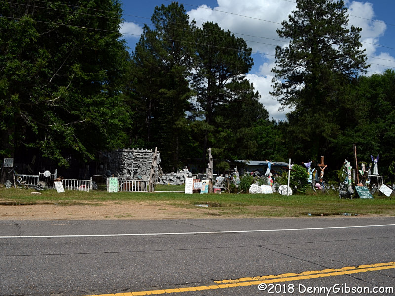 South of town, some people along US-71 go all out in decorating their
yards.
South of town, some people along US-71 go all out in decorating their
yards.
|
|
|
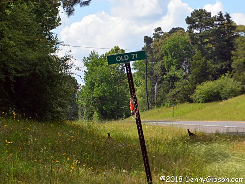
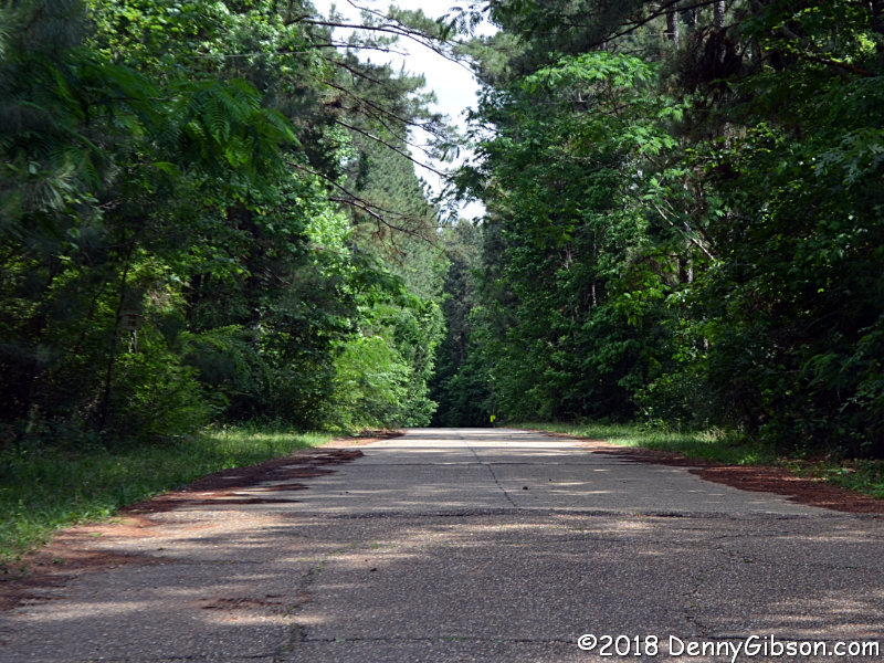
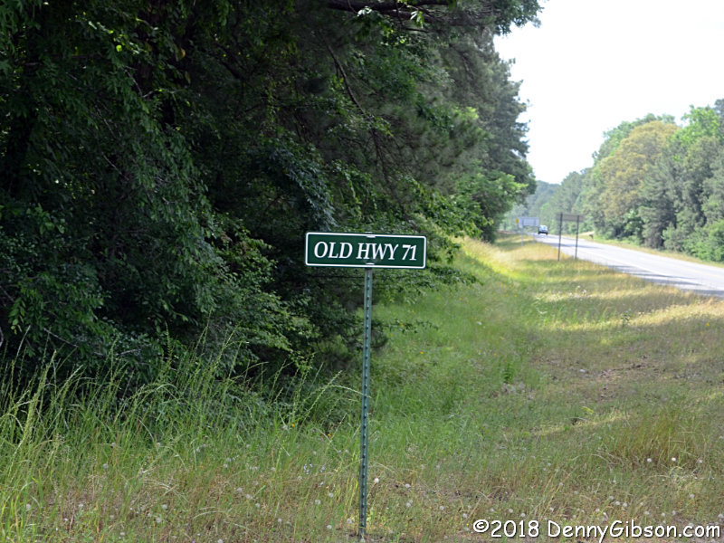
 I honestly did not notice those feathered fellows in the grass when I
snapped this picture at the start of a section of Old US-71 that was not
part of my plotted route. It's about ten miles south of Colfax. The second
sign, with a different font, is at the other end of that section. The last
picture is from a bit of Old US-71, about four miles farther on, that was
on the plotted route.
I honestly did not notice those feathered fellows in the grass when I
snapped this picture at the start of a section of Old US-71 that was not
part of my plotted route. It's about ten miles south of Colfax. The second
sign, with a different font, is at the other end of that section. The last
picture is from a bit of Old US-71, about four miles farther on, that was
on the plotted route.
|
|
|
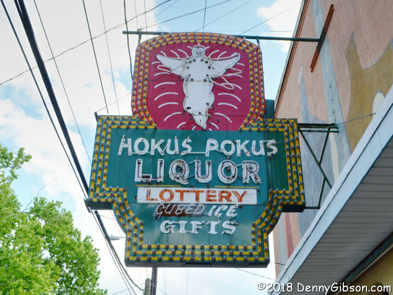
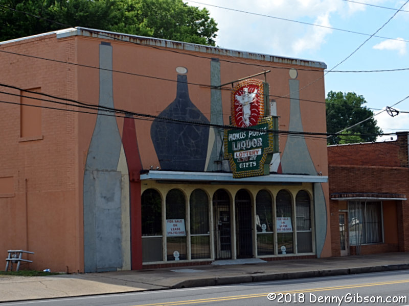
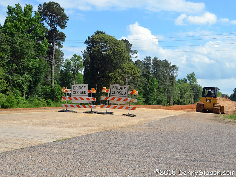 A little north of Alexandria, a closed bridge kept me off of about two and
a half miles of US-71. The Hokus Pokus sign is in Alexandria. I don't
photograph every cool sign I see partly because others are doing a
marvelous job of it. But the combination of unique and endangered pulled
me over for this one.
A little north of Alexandria, a closed bridge kept me off of about two and
a half miles of US-71. The Hokus Pokus sign is in Alexandria. I don't
photograph every cool sign I see partly because others are doing a
marvelous job of it. But the combination of unique and endangered pulled
me over for this one.
Before the day was out, I would miss a whole lot more of the Jefferson Highway than the couple of miles above Alexandria. I'm not sure the miss itself was my fault but the decision not to correct it certainly was. In 2010, a ferry that carried LA-10 (formerly US-71) across the Atchafalaya River at Melville closed. Mike Curtis worked out a detour through Krotz Springs on his drive last year. I had plotted, and Garmin BaseCamp supported, a left turn after crossing the river at Krotz Springs. In reality, a right turn and a pass beneath US-190 is required. By the time I figured out that there was no left turn to be had, I was on a long causeway that prevented turns of any sort for more than six miles which was more than half way to where the JH, on LA-77, crosses US-190. I pulled over and studied my options then decided to forego the 18.5 miles of JH between Melville and Livonia by continuing straight ahead. I should have checked Mike's online map when I pulled over because I now see that he had revised his drivable route to do exactly what I did. I'm golden after all. |
|
|
| [Prev] [Site Home] [Trip Home] [Contact] [Next] |