
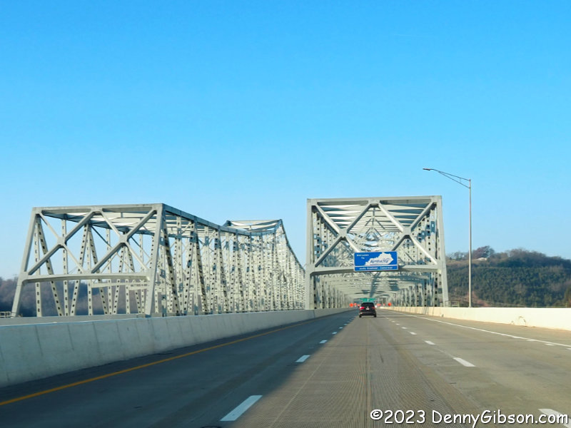
 At one time, possibilities for Thanksgiving dinner included an Indiana state lodge with an overnight stay and an Ohio state lodge without. I dithered just a little too long, however, and both were completely filled before I made my calls. So I hastily put together a Plan C which involved an overnight stay in a Kentucky state lodge. That ‘C’ could stand for “cave” or “Carter” or both. Carter Caves State Resort Park was my destination as I crossed the Ohio River.
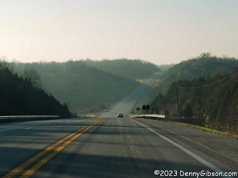
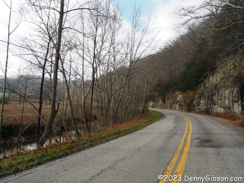
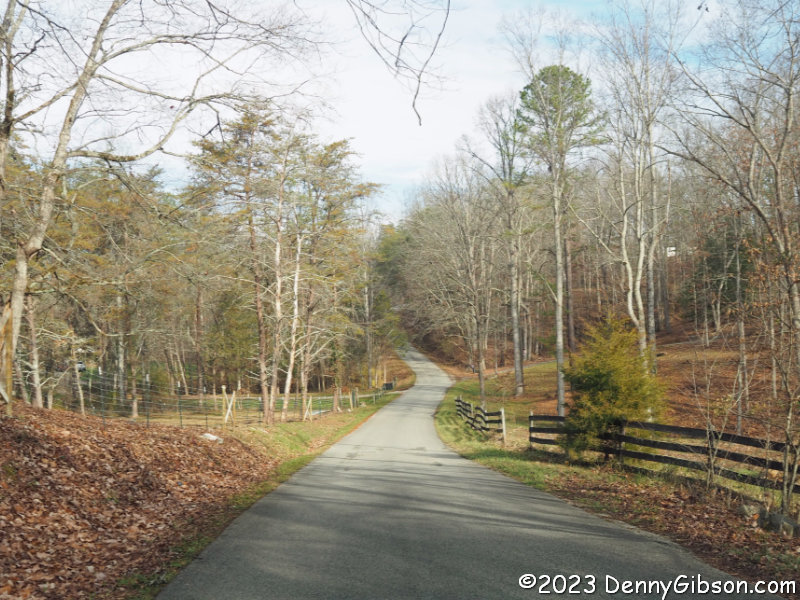
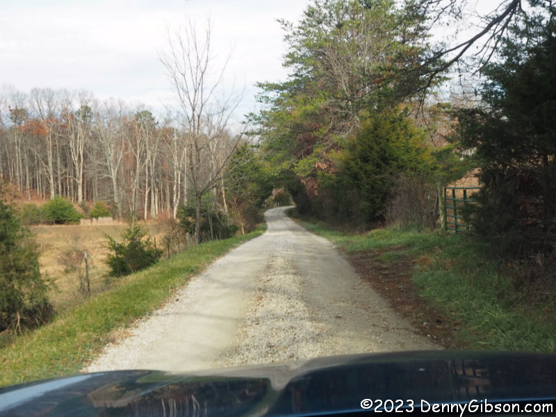
 Most of the miles I drove in Kentucky were on KY‑9 which roughly parallels the Ohio River although it is usually at some distance. It’s a pretty nice-looking drive but the low morning sun and the mostly eastern bearing were no help at all in photographing the scenery. After just under a hundred miles of KY-9, Garmin had me turn south on KY-2 where the sun was less intrusive and the scenery possibly even better as the road ran along Buffalo Creek. After a few miles of KY-2, the GPS directed me onto KY-7 and then, barely a mile later, onto Sutton Road. Sutton Road soon became gravel. With my destination just a few miles away, I saw no reason for concern…

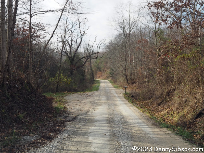
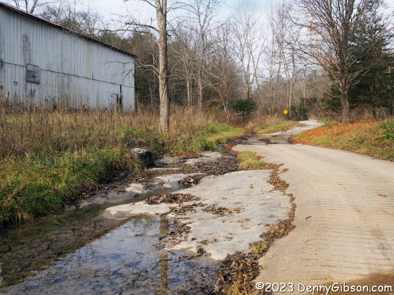
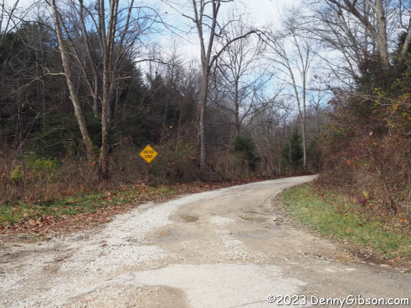 …until I reached a T. The road to the right was marked with a “DEAD END” sign. To the left was a low water bridge with not much that I could see beyond it. Garmin assured me that Carter Caves Park was just a few minutes away on the other side. While I contemplated the situation, I checked the GPS to see if it was really in “Faster” mode and not in “Shorter” or “Adventurous” mode. It was. I have gone straight ahead in similar situations in the past but on this day I wasn’t in adventurous mode either. After turning around and traveling a short distance, I could look back and see a road heading off on the other side of the stream. I was tempted but continued on the prudent path.
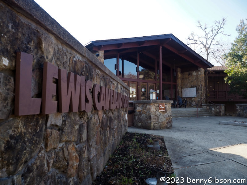
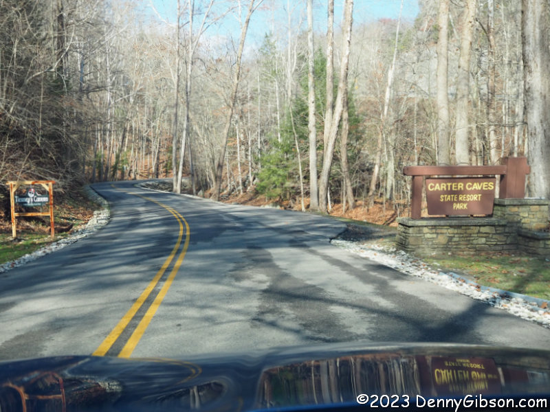 I entered the park about half an hour later after a drive of 20, rather than 2, miles. Even so, I was there way ahead of my scheduled dinner time and assumed it was also too early to check in. I explored the park in my car and found every possible parking spot near the lodge/restaurant filled. The feeding frenzy was in full swing. There was a reasonable mix of cars and open spaces at the visitor center so I pulled in to take a look.
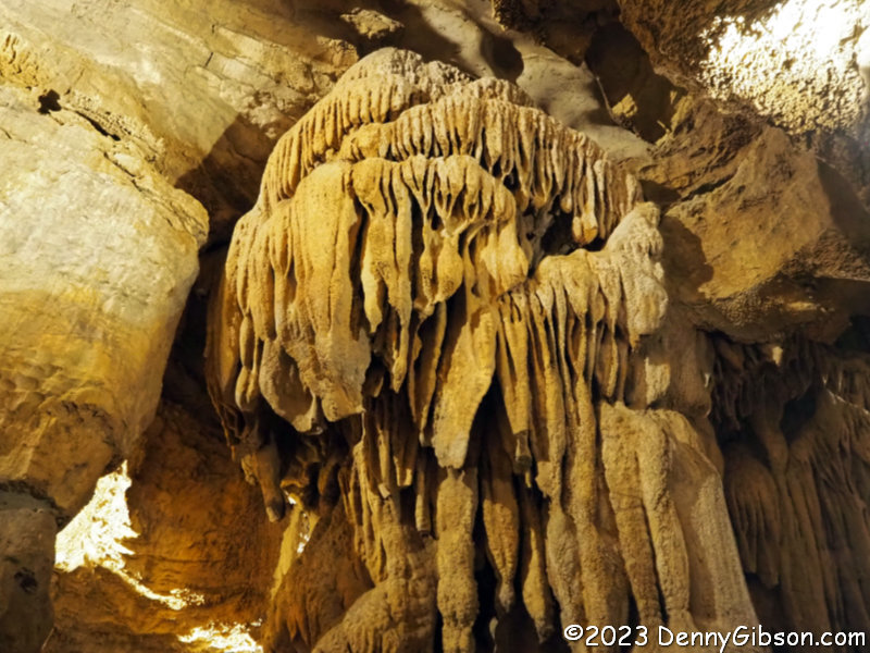
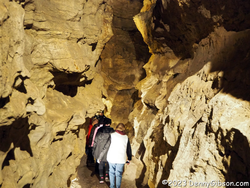
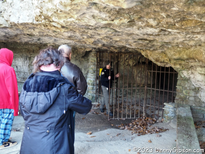 Once inside, I was pleasantly surprised to find that cave tours were taking place that day and even more pleasantly surprised to learn that a tour of X‑Cave was starting in just five minutes. X‑Cave is not very large but it does have a lot of interesting formations. It gets its name from two passageways that intersect to form an ‘X’. Tours travel through one side of the ‘X’, step outside, reenter, and travel through the other side. On the first pass through the intersection, the tour guide shared the cave’s very own Daniel Boone story. It’s extra appropriate on Thanksgiving Day.
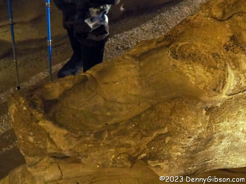
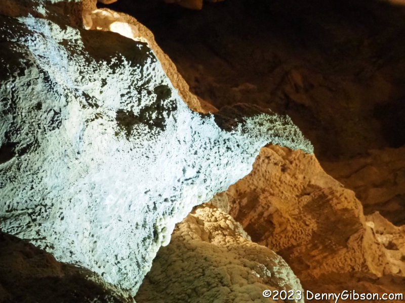 While hunting one day, Boone spotted the largest turkey he had ever seen. He inexplicably missed his first shot but saw the turkey enter the cave He hurriedly lit a torch and followed. Reaching the underground intersection, Boone saw the turkey down one of the passageways and fired. In his haste and weak light, the frontiersman had overloaded his rifle with powder and the blast threw him backward with such force that the imprint of his foot can still be seen. The turkey was missed once again by the shot but was so badly frightened that it instantly turned to stone.
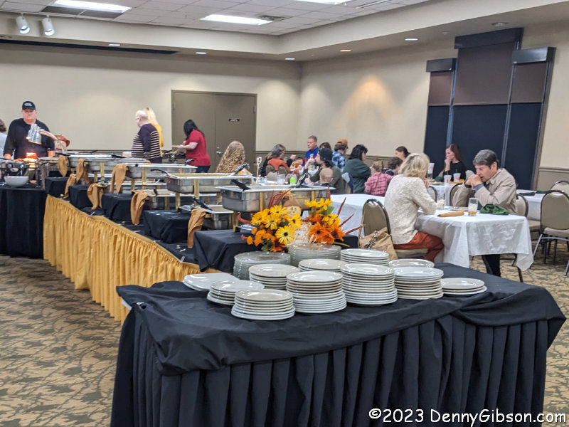
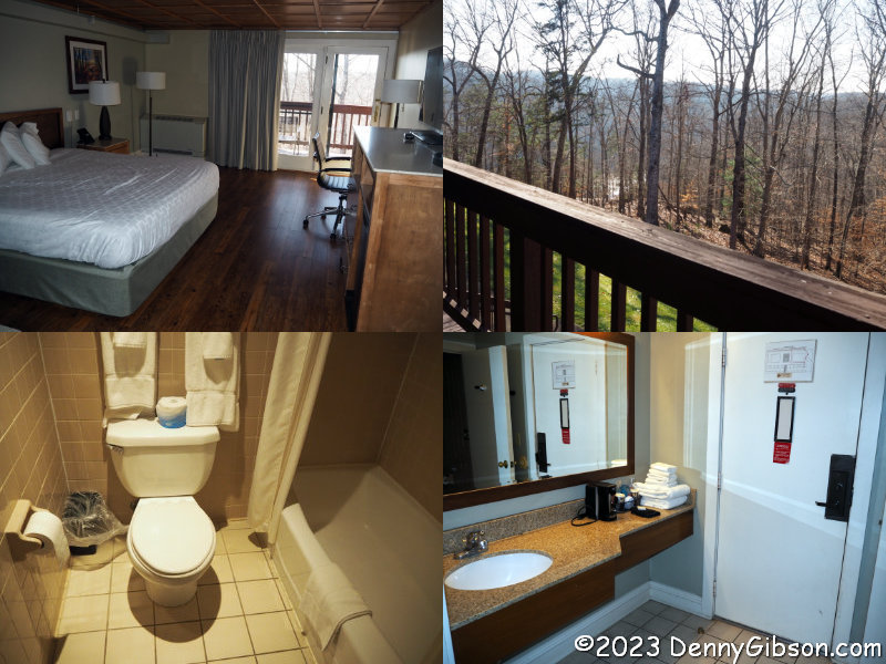
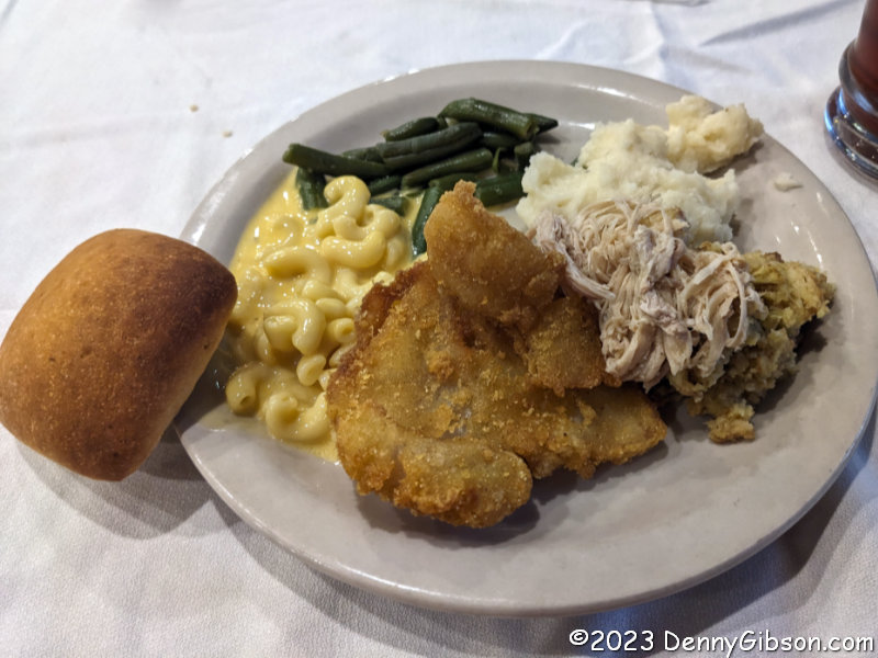
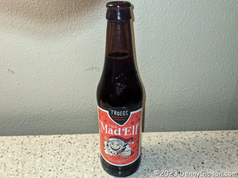
 Things were still busy at the lodge but I was now able to find a parking spot. I was even able to check into my room where I relaxed until dinner time. There is a salad bar behind me and a dessert-filled table just beyond the ham carving station. I helped myself to turkey and stuffing and more but decided against the ham when I reached it. I think that was because I had also helped myself to that other traditional Thanksgiving entree, catfish, when I filled my plate. After dinner, as I again relaxed in my room, I decided to get on board with the popular Elf on a Shelf craze.
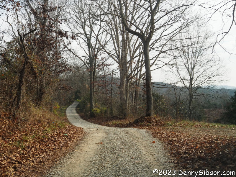 When I left the lodge on Friday, I was only slightly surprised when the GPS directed me to turn left rather than retrace the way I’d arrived. Even though the road name didn’t register immediately, it did eventually, and as Sutton Road became narrower and more gravely, I knew exactly where Garmin was leading me.
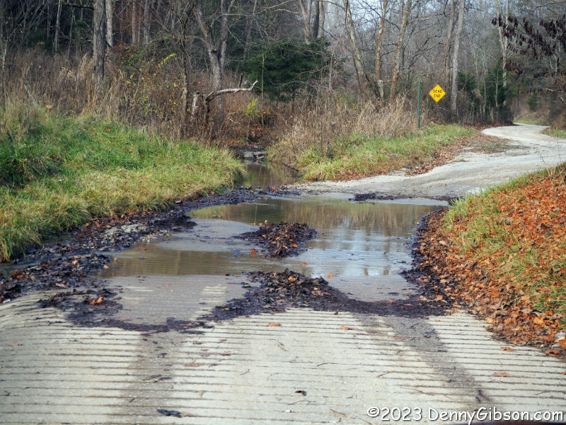
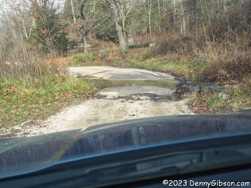 This is the other side of that low-water bridge where I turned around Thursday. On Friday, having seen both sides, I had no qualms about splashing right on through. In fact, I was quite happy to do so and erase some of the guilt I felt about not splashing through the day before.
Pingback: TG ’24 | Denny G's Road Trips Blog