
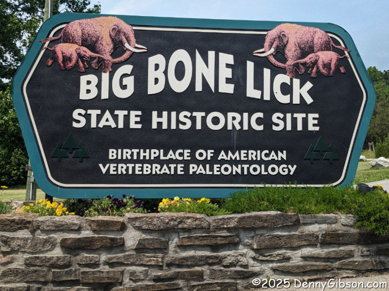
 I have visited Big Bone Lick State Historic Site a couple of times in the past, but that was many years ago. Since then, I’ve passed it several times, without stopping, on the way to Rabbit Hash. A friend visited both last week, and their description of that visit made me promise myself that I would return. A sunny Thursday almost immediately provided a perfect opportunity.
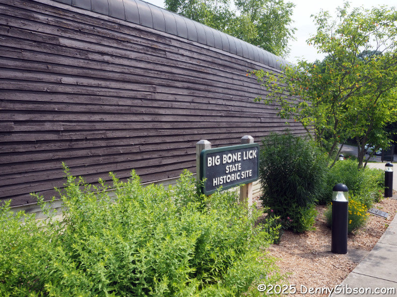
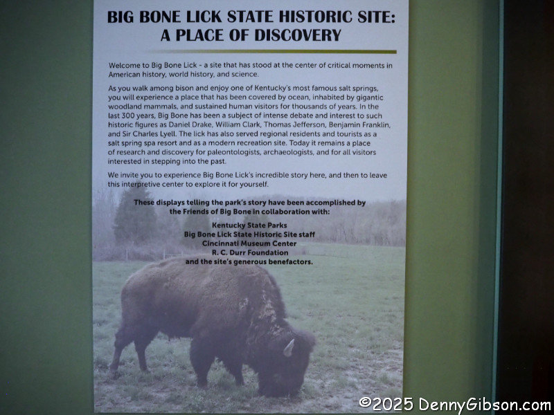
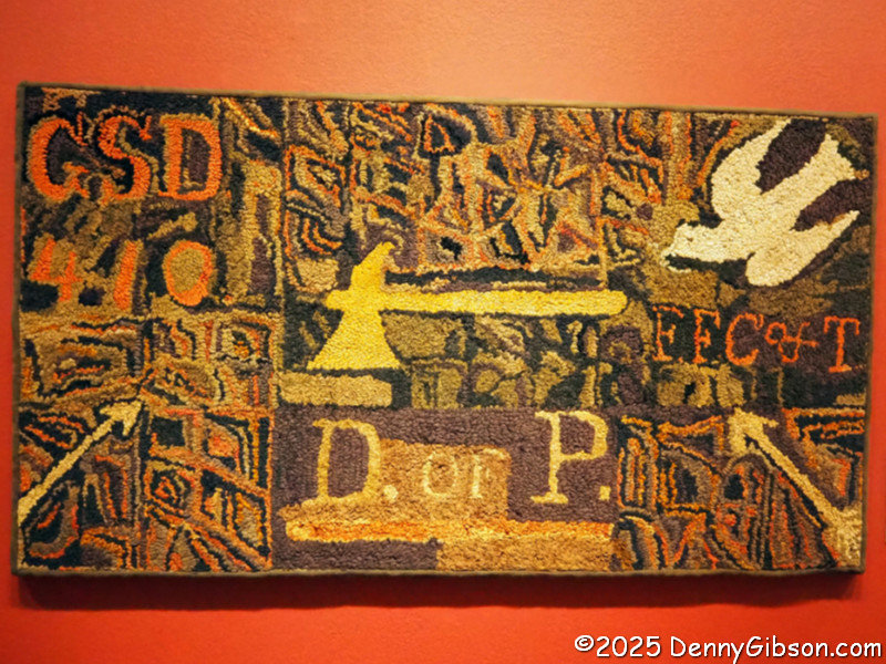
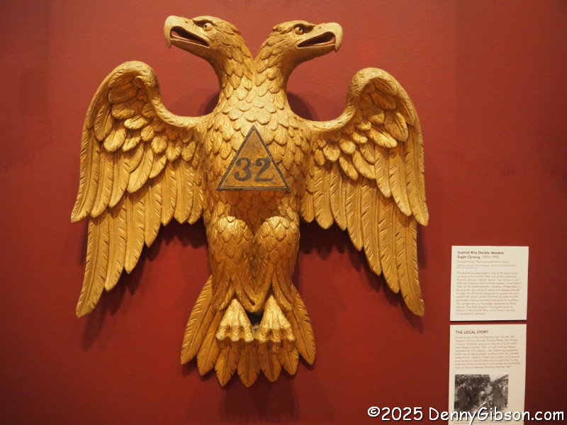
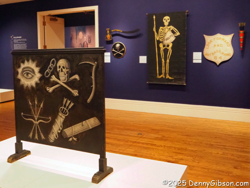
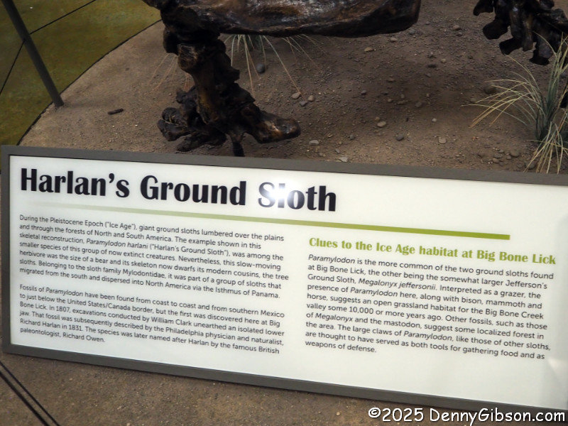
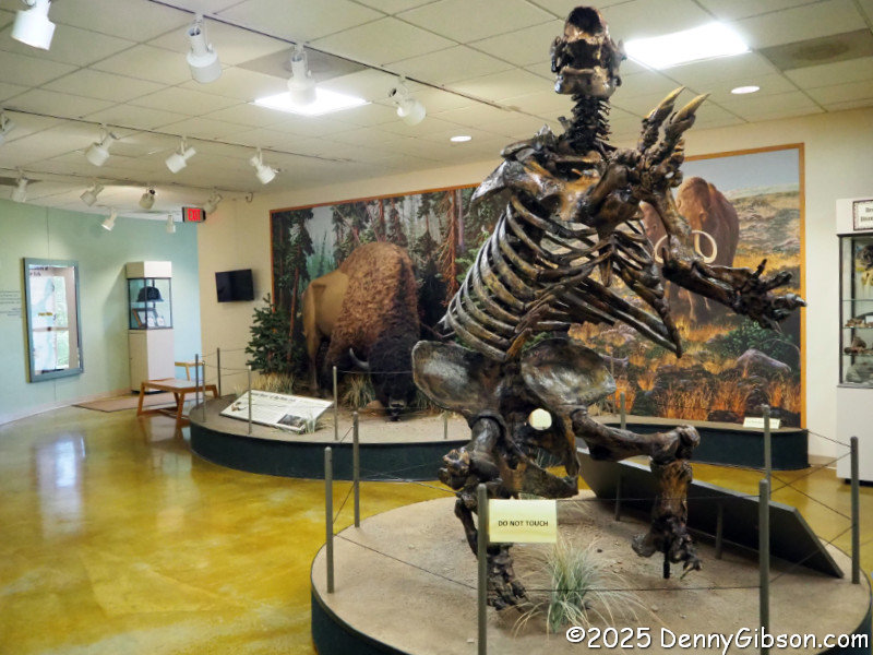 My first stop at the park was the Visitor Center. In addition to having a gift shop, helpful attendants, and a supply of information and maps, the center houses a small but very interesting museum. A panel just inside the door offers a pretty good overview of the park. That big guy in the foreground of the third photo is a Harlan’s Ground Sloth.
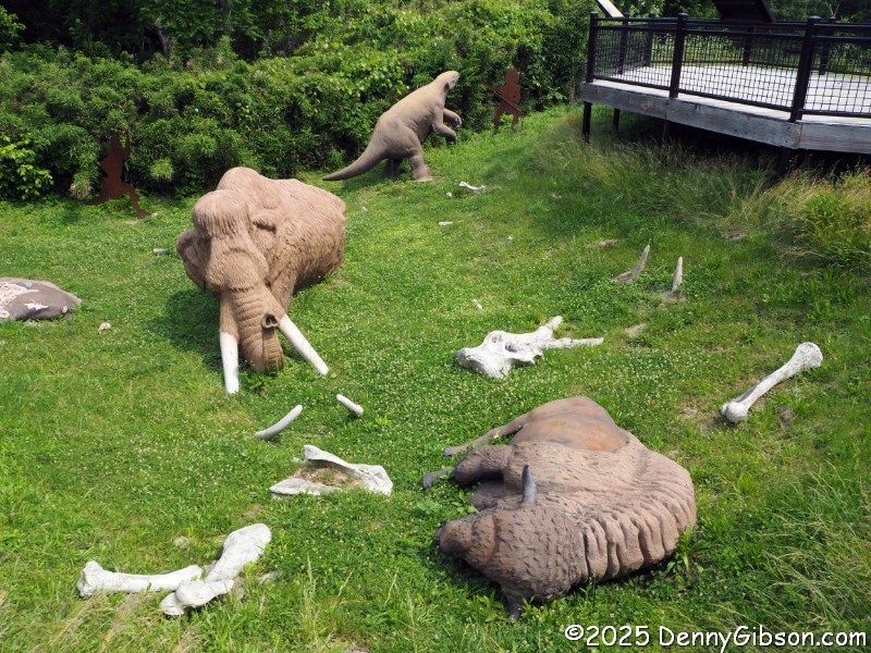
 At the rear of the Visitor Center is a life-sized diorama depicting how earlier visitors to the salt springs might become trapped in the bogs and involuntarily leave their bones for future scientists. Big Bone Lick is on the Lewis and Clark National Historic Trail, not because the Corps of Discovery stopped here but because both of its captains did. At the urging of President Jefferson, Meriwether Lewis visited the site in 1803 on his way west to join William Clark. The boat carrying the specimens he collected sank on its way to Jefferson. In 1807, after that famous expedition to the Pacific Ocean, Clark made a stop here to collect and ship specimens that did reach the President.

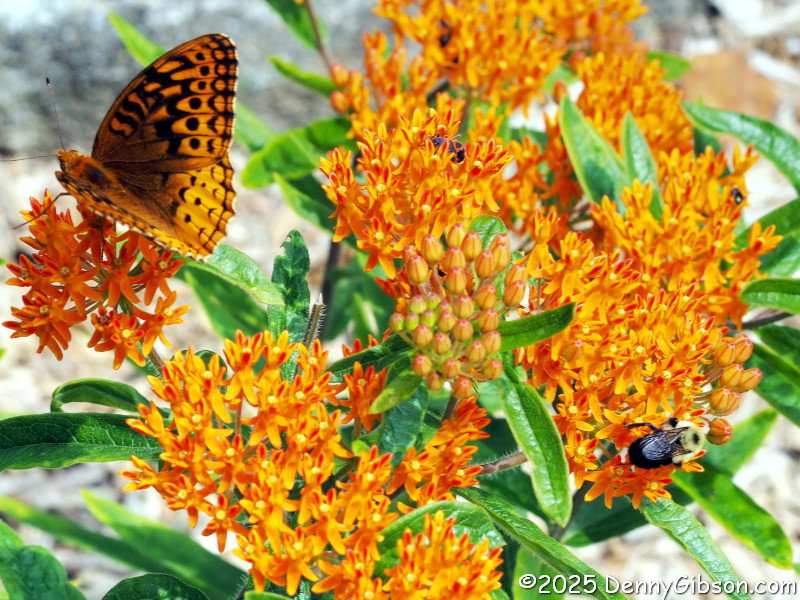 Although they have absolutely nothing to do with vertebrate paleontology, I found the smallish examples of wildlife flitting about in front of the Visitor Center a lot of fun to watch.
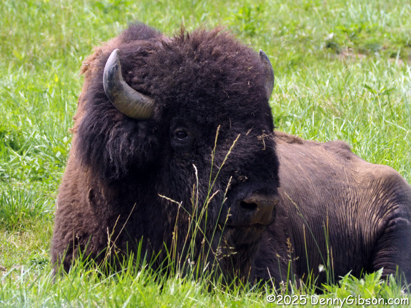
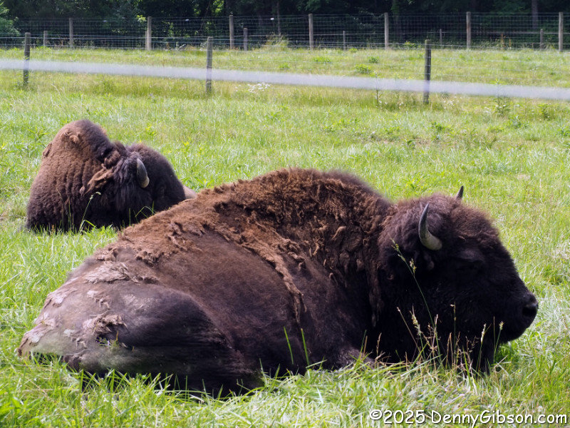
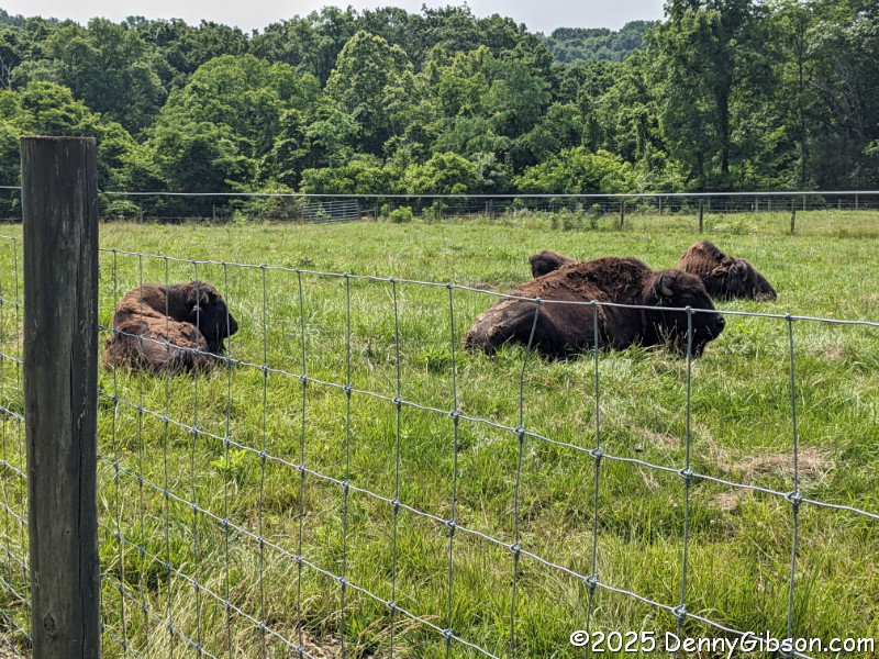 A paved path that begins a short distance from the Visitor Center leads to an elevated bison viewing stand. But no bison presented themselves to be viewed there today. Instead, the small herd was lounging in the grass, just out of sight, a short distance away.
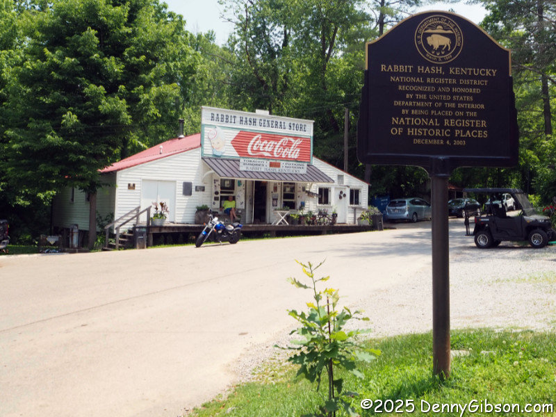
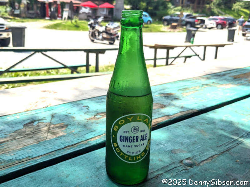 Having noted that I’ve passed Big Bone Lick a number of times while driving to Rabbit Hash, continuing on to the one-of-a-kind river town after my stop was rather natural. Besides, if I hadn’t, I could not have put “bunnies” in the title. I grabbed an ice-cold ginger ale at the general store, then sipped it as I watched the Ohio River flow by.
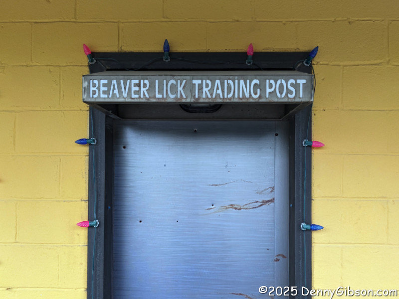
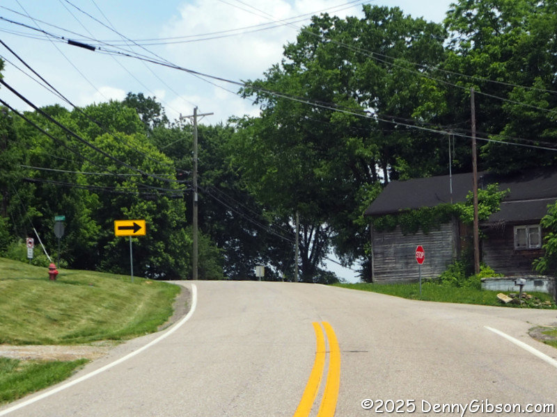 This intersection, just east of US 42 about two and a half miles east of Big Bone Lick, marks the community of Beaverlick. I believe there used to be limit signs here, but I found none today. If I didn’t imagine them, I’m guessing they are hanging on a college dorm wall somewhere. Until a year or so ago, there was a Beaverlick Trading Post at US 42, but it is now an ice cream stand, and almost all of the signage has been changed. They’ve not yet taken care of a couple of side doors, however. Places like Big Bone Lick and Beaver Lick (now Beaverlick) were salt licks where various animals came to get a little salt in their diet. They were named for the lickers, not the lickees.
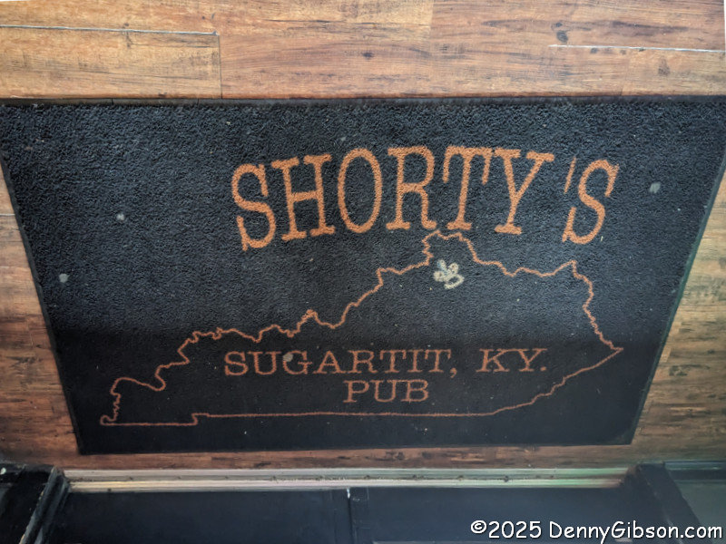 To complete what has turned into a survey of the area’s smile-inducing place names, I stopped at an establishment that appears to be the last remaining enterprise acknowledging that the community of Sugartit once existed. It’s just a few miles north of those spots made famous by salt-licking beavers and big boned animals.
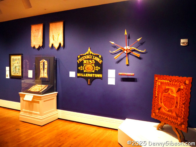
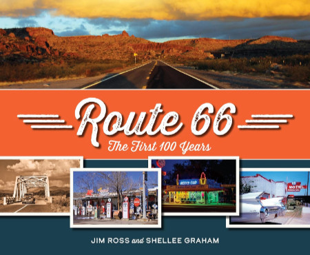 It’s a beauty. That was my initial thought when I first held this book in my hands and flipped it open. I wasn’t surprised, of course. I’ve seen enough of Jim and Shellee’s work to make me expect great photography and writing, a top-tier knowledge of history, and a rock-solid commitment to quality. I’m not quite as familiar with Reedy Press, but what I have seen smacks of the quality targeted in that previously mentioned commitment. My instant declaration of beauty came from seeing great images accurately reproduced on thick glossy pages. Including the text in my appraisal took only a little more time.
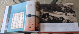 Unlike many other Route 66-related books, Route 66: The First 100 Years is not organized geographically. Nor is it organized chronologically as history books often are. There is a slight hint of chronology in discussing the roads that preceded US 66 in Chapter 1, “Revolutionizing Travel”, and covering “Renaissance” and “Preservation” in the last two chapters. In between, chapter subjects might be eras (e.g., “Hard Times”), collections of people (e.g., “Ladies of Legend”) and businesses (e.g., “Trading Posts and Tourist Traps”), or something else. Whatever the subject, a wide-ranging set of examples is included. But 100 years and 2400+ miles cover a lot of space and time, and anyone with more than a passing familiarity with Route 66 will probably come up with a personal favorite or two that didn’t get included. The selection process could not have been easy, but the selections are excellent.
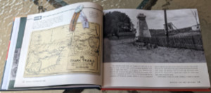 Every chapter, like the vast majority of real-life road trips, has a “Detour”. The book’s detours are deep dives into one of the chapter’s subjects, and not all of them are obvious. The detour for the “Revolutionizing Travel” chapter is “The Ozark Trails”. This was an early named auto trail, or actually a system of auto trails, that, in my experience, doesn’t seem to get enough recognition. The “Hard Times” chapter takes a detour into an area that has been overlooked far too often for far too long: “The Green Book and Threatt Filling Station”.
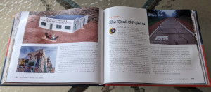 It’s probably not all that surprising that Route 66: The First 100 Years overflows its twelve numbered chapters. It starts with a full page of Acknowledgments, followed by a Forward written by Route 66’s storytelling king, Michael Wallis. Jim and Shellee follow that with a Preamble, then include an Epilogue, Road Facts, and a few other sections after Chapter 12. One of these sections, titled “Happy Trails”, is a collection of roadside photos taken over the Mother Road’s first 100 years. Many are of unidentified travelers, but there are some real celebrities in the mix. There’s Jack Rittenhouse standing beside a California U.S. 66 sign, Lillian Redman by an Arizona 66 sign, and Cynthia Troup gazing at a U.S. 66 sign in New Mexico. As I said earlier, 100 years and 2400+ miles cover a lot of space and time. Jim and Shellee have done an impressive job of capturing the big picture and quite a few of the small picture details, too.
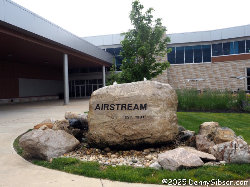
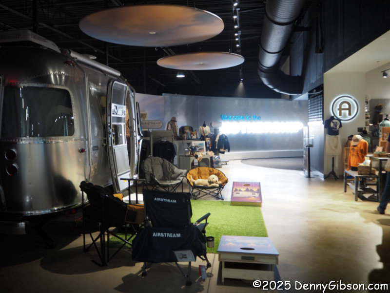
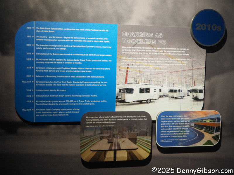
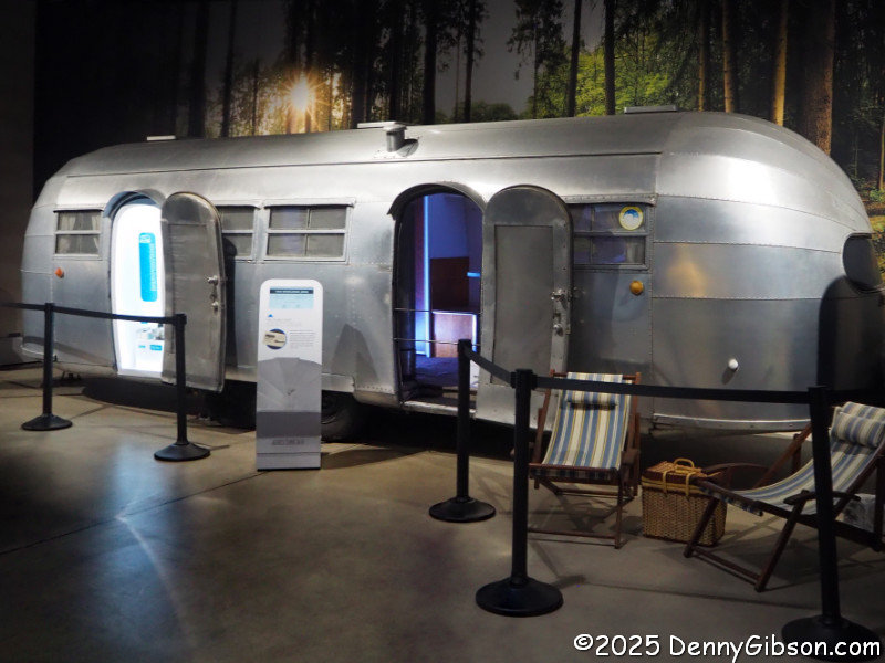
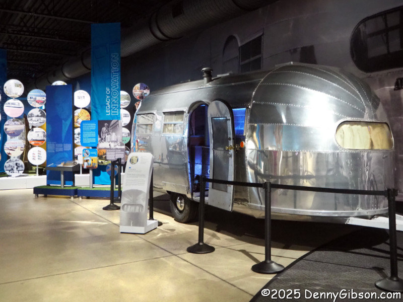
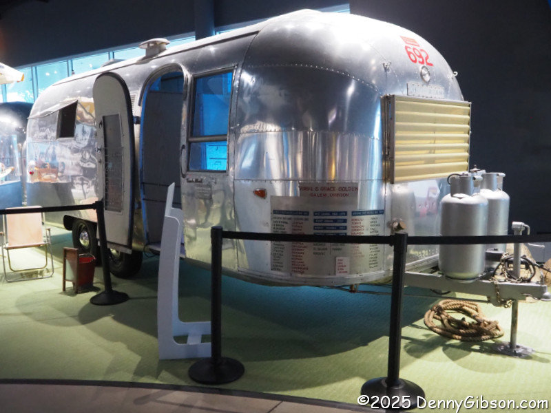
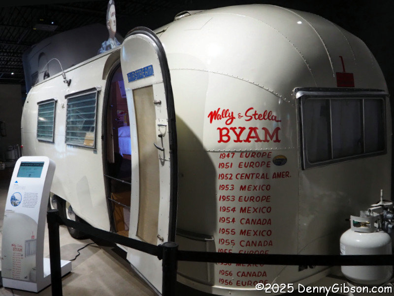
 I had driven to Jackson Center thinking I would have no factory tour, and I would have been quite happy with that. Of course, learning that I could tour the factory made me even happier. The picture at right was taken just outside the museum. Corporate offices are upstairs. Trailer manufacturing is through those doors straight ahead. No photos are allowed.


 I had so much fun driving twice across the country for
  I also bragged about the title of the Yellowstone Trail and US 20 book and bemoaned the fact that it wasn’t as clever as initially envisioned. Of course, clever sometimes also means cryptic, and that might have been the case here. Anyone who thought 20 in ’21 and the YT Too overly cryptic will be happy to see that the title of this book isn’t cryptic at all and not the least bit clever either. It really is about going across America on two old highways and, since I’ve done that before, it really is about two MORE old highways. It just occurred to me that some folks might be unhappy about having to guess which two, and I can understand that. But putting the wordy names of these two auto trails in the title would have made it entirely too long, and it’s too late to do anything about it now anyway. Sorry.
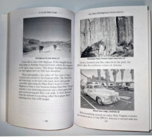 To be honest, though, even if the names National Old Trails Road and Pikes Peak Ocean to Ocean Highway were right there in the title, they would not be recognized by everyone. Out west, some would recognize the NOTR as something that turned into US 66. Back east, a similar number might recognize it and think it had become US 40. In the middle of the country, I suspect that just a few would even recognize the PPOO’s name. Of those who did, some might say it was replaced by US 36, while others would claim it became US 22. There is a little truth in each of these claims, but my point is that not all that many people know that the PPOO and NOTR were both once routes that connected the East Coast with the West. Their names in the title would not be any more enlightening to many than the words “Old Highways”.


