
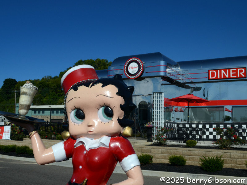
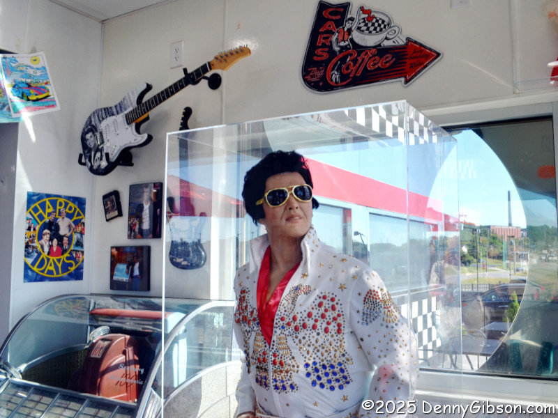
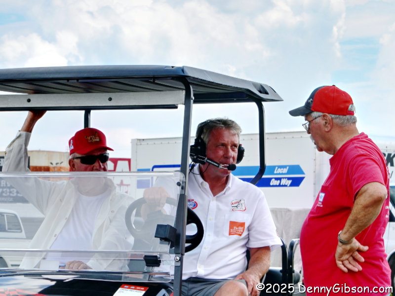
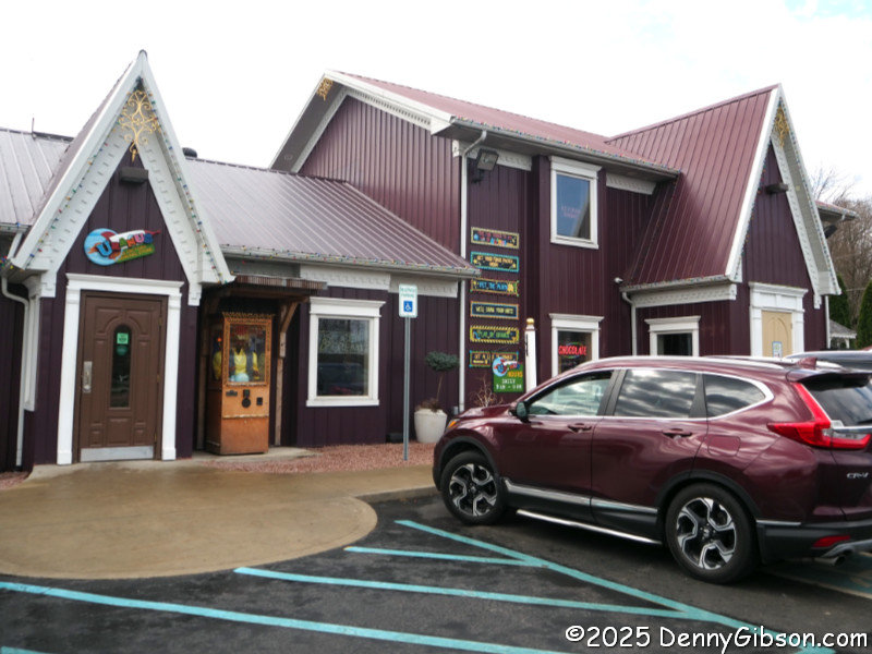
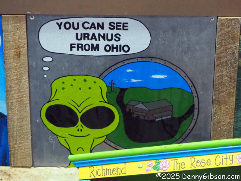
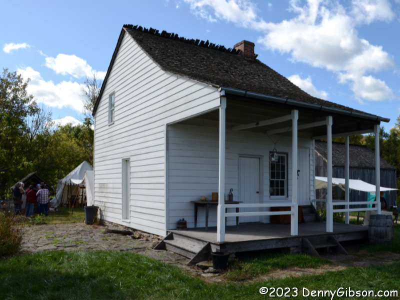
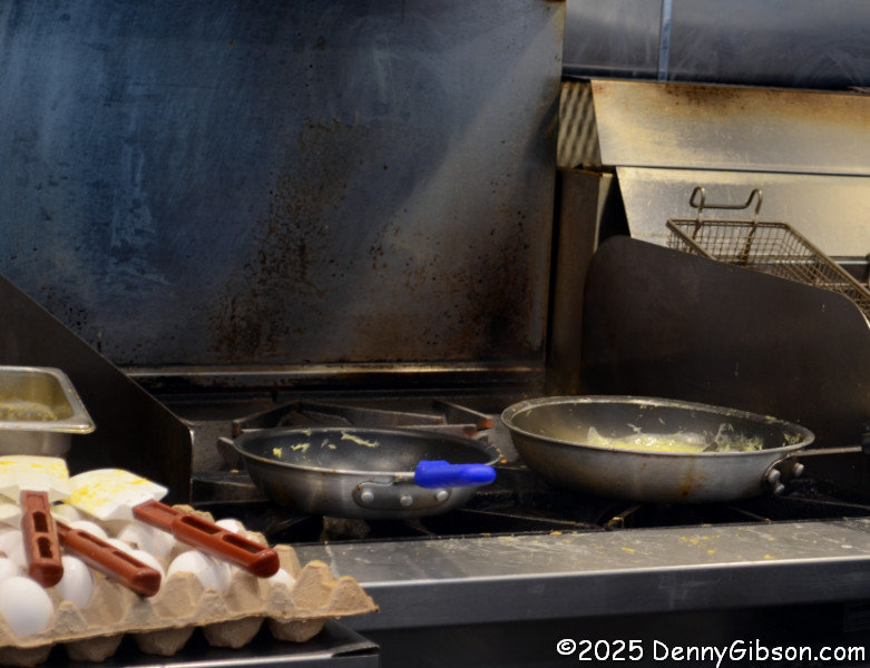
I’ve not been overly secretive about the fact that I’m generally not crazy about bright and shiny brand-new diners or diners of any vintage with a hard-core Marilyn & Elvis vibe. Just the “bright & shiny” thing is probably enough to explain why I’ve passed the 4 Speed on 50 Diner multiple times without stopping. Two Fridays ago, I was headed home from a spot a bit deeper into Indiana than Lawrenceburg with a stomach empty enough and a bladder full enough to pull me in. Inside was a staff so friendly and food so good that I was very glad I stopped. I sat at the counter and watched this burger prepared on the grill in front of me, then ate it. I swear it didn’t look that big on the menu. At some point, I asked the cook about the museum I’d seen signs for, and he pointed to a fellow he called one of the owners at the end of the counter. He explained that the museum contained some very interesting cars but had just closed for the day. Then he went on to tell me the diner’s second anniversary was being celebrated in just over a week with some special entertainment and the weekly Cars & Coffee.
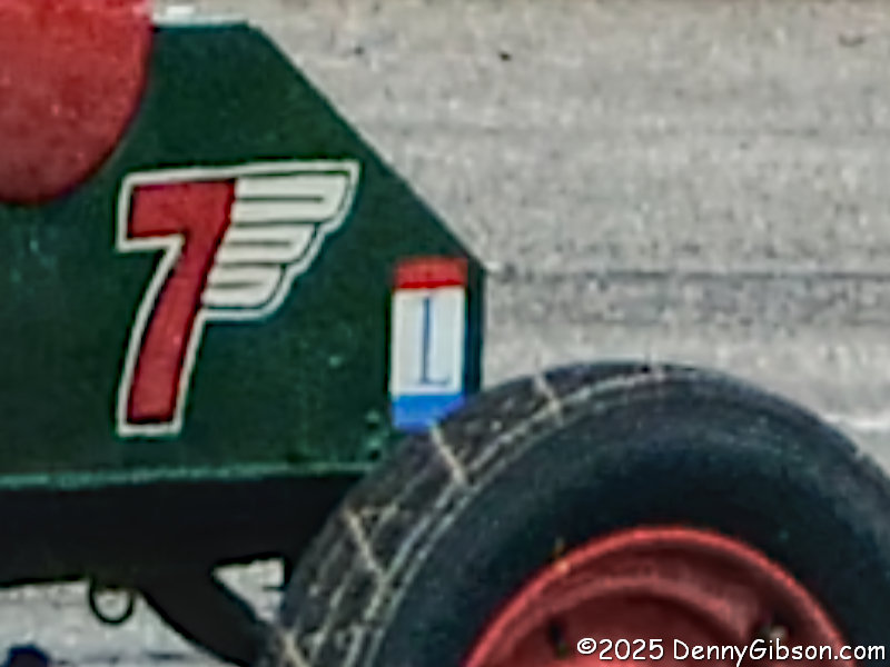
I decided that was a good activity for an absolutely beautiful Saturday, and headed over in time to catch a decent chunk of Cars & Coffee. The day’s entertainment highlight would be a renowned Elvis impersonator, but that was scheduled for the evening when I intended to be sitting quietly at home. I did get to see one of the event’s guest celebrities, however. This Ford appeared in the Movie Hoosiers. I confess to being one of the few people in the world and possibly the only male over 16 living within 60 miles of Milan, IN, carrying that shame. Yeah, I know. I will fix that someday. I promise.
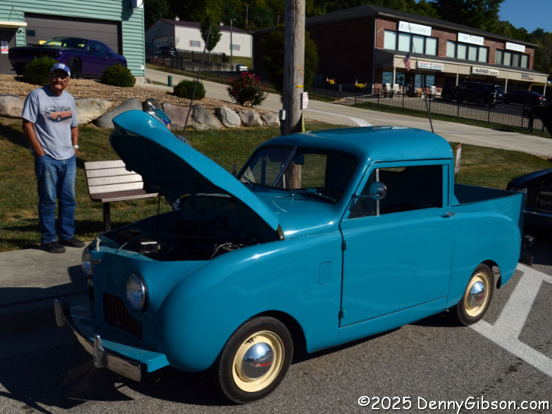
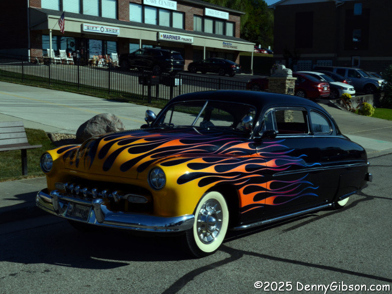
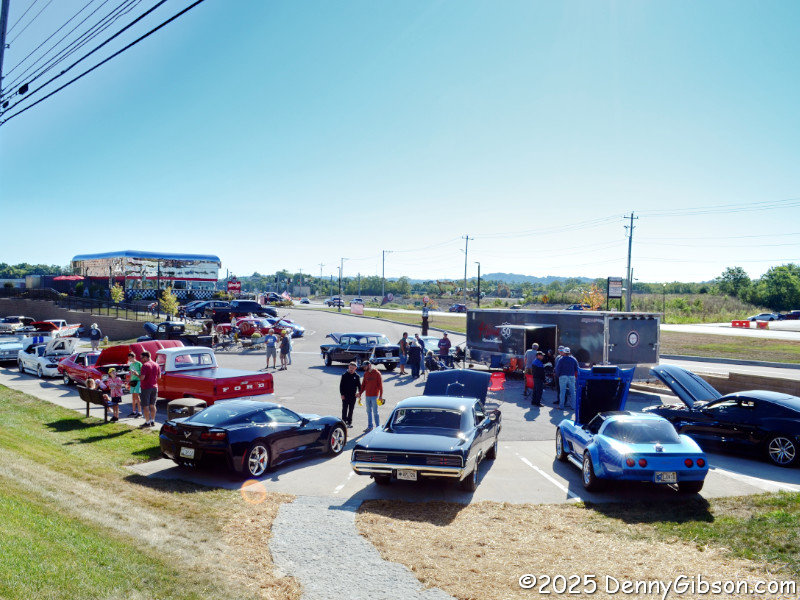
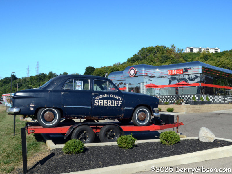
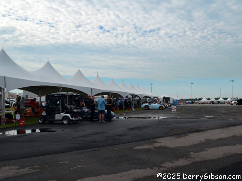
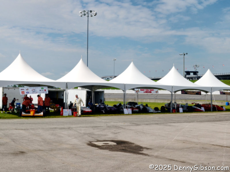
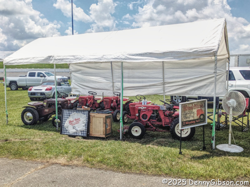
The setup here is sort of a car culture campus. A separate website, 4 Speed on 50 Auto Park, covers the non-diner part of the operation. The Hoosier car is displayed in front of the diner. Cars & Coffee makes use of a parking area between the diner and an associated gas station so that diner access is not affected. I’m guessing that might not remain the case once the Elvis crowd starts rolling in. There appeared to be a pretty decent turnout, and it certainly included some real classics.
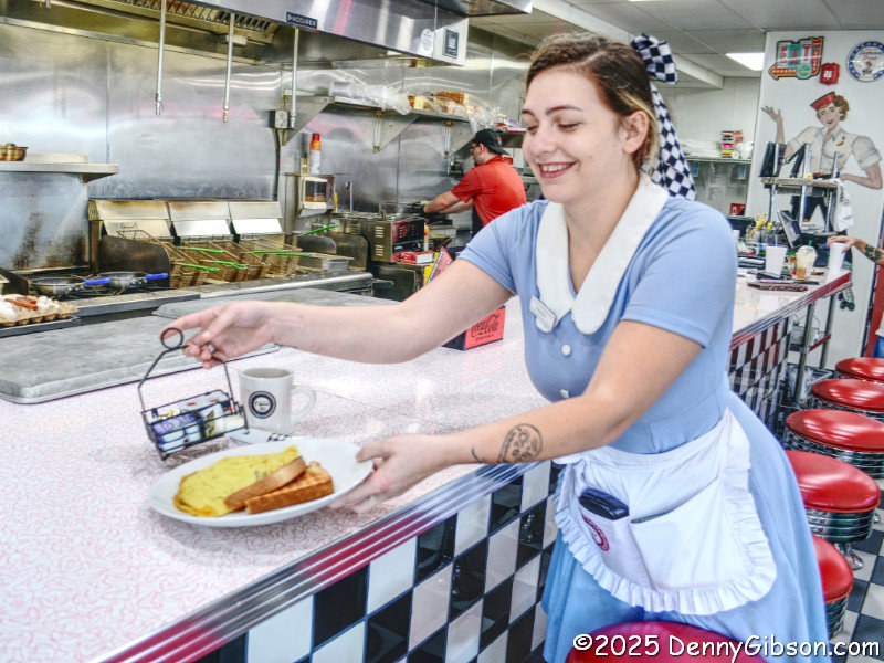
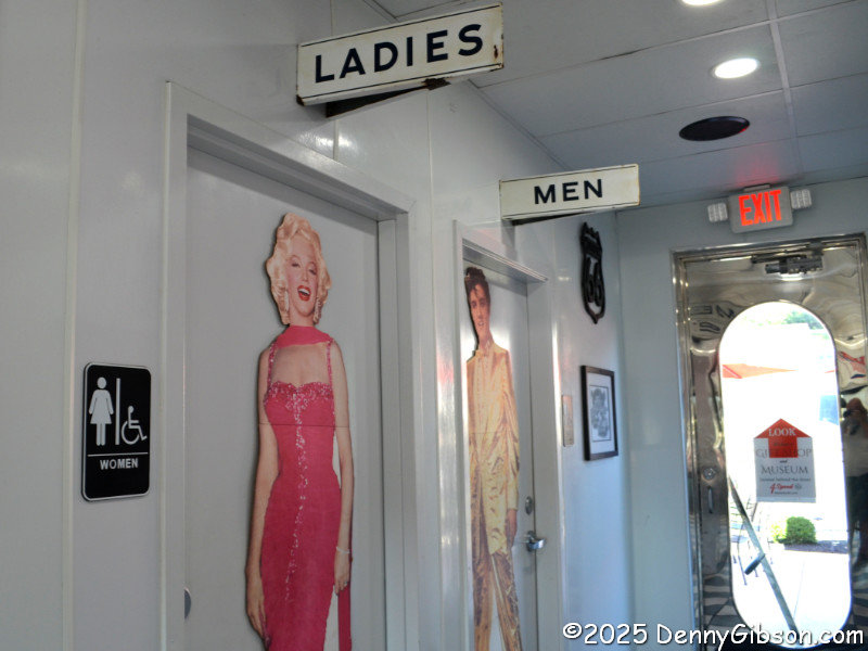
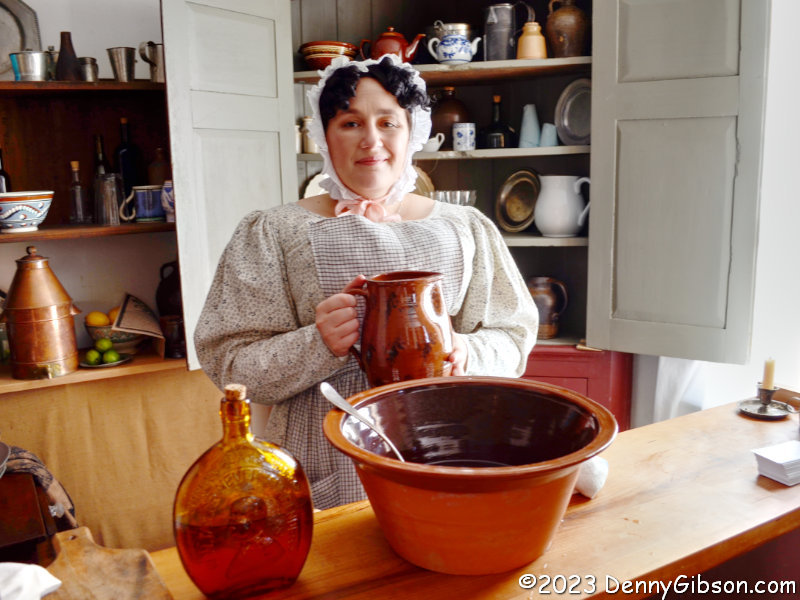
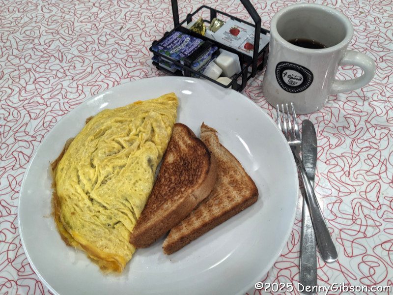
Once I had checked out all the cars, I went inside and don’t even pretend you’re surprised. There’s a real greeter with a real smile just out of frame to the left. I once again sat at the counter and watched as my meal was cooked. It was then delivered with a smile. This time it was a Local Omelet (goetta, onion, peppers, mushrooms, cheddar jack cheese). After eating, I carefully selected and then made use of one of the restrooms.
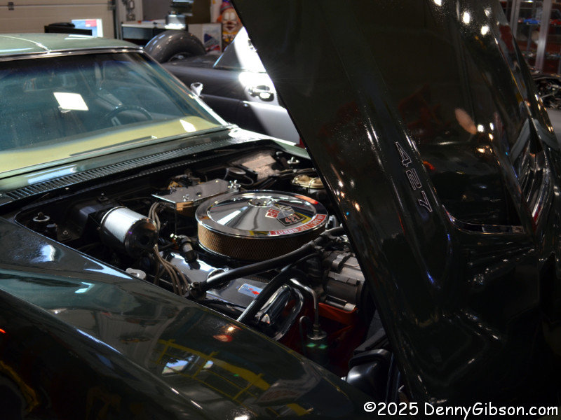
Now I was ready to visit that museum. When I purchased my ticket, the fellow I had spoken with the previous week was sitting nearby, and I made a comment about him being the owner. His dad was the actual owner, he now explained as he walked with me to the museum entrance. Both he and his dad were named Steve, and there was a third Steve who helped run the place I would probably encounter while I was there. Not long after he left, I was looking over a 1969 427 Corvette when three men entered, and I made some joke about one or two of them being Steve. I was off by one. One was the owner and creator of the complex, and one was the other Steve I’d just been told about. The third was a visiting friend who was also named Steve. So, minutes after learning the name of Steve the Younger, I met Steve the Elder, Steve the Other, and Steve the Visitor.
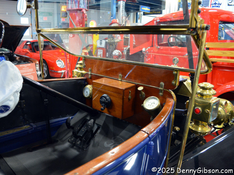
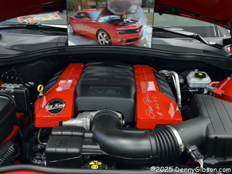
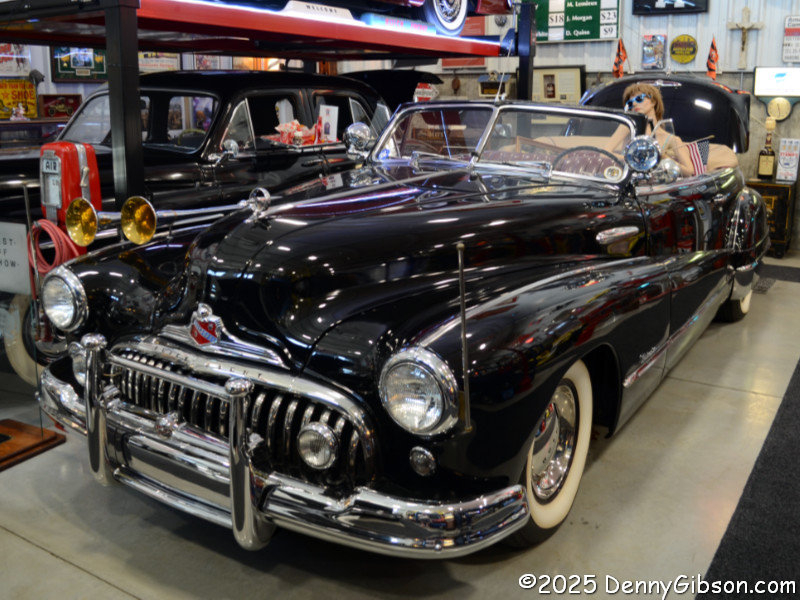
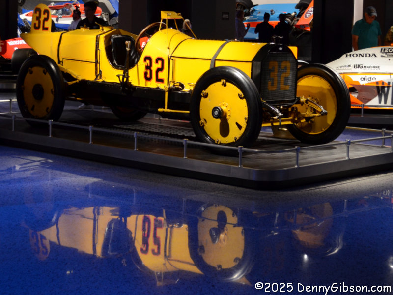
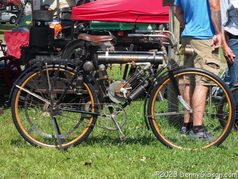
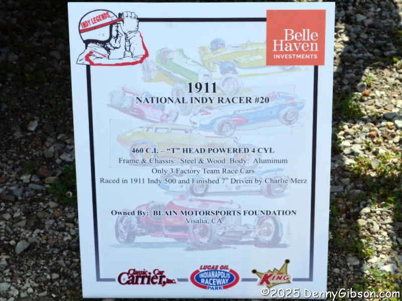
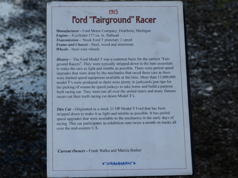
Steve TE has brought together a rather impressive collection of cars spanning a wide range of years and styles. Some are extremely rare, and many have remarkably low mileage. I believe the oldest car in the museum is the 1911 Brass Era Model T Ford. The 2010 Hit King Edition Camaro is one of just 27 made. Pete Rose signed the engine covers, and each car came with a spare, unsigned cover, in case the owner wanted to save the signature and actually use the car. The 1948 Buick parade car once belonged to the family that owned the land where the museum now stands. It had been sold before Steve TE bought the land, but he managed to track it down and have it restored.
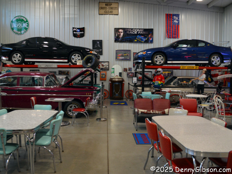
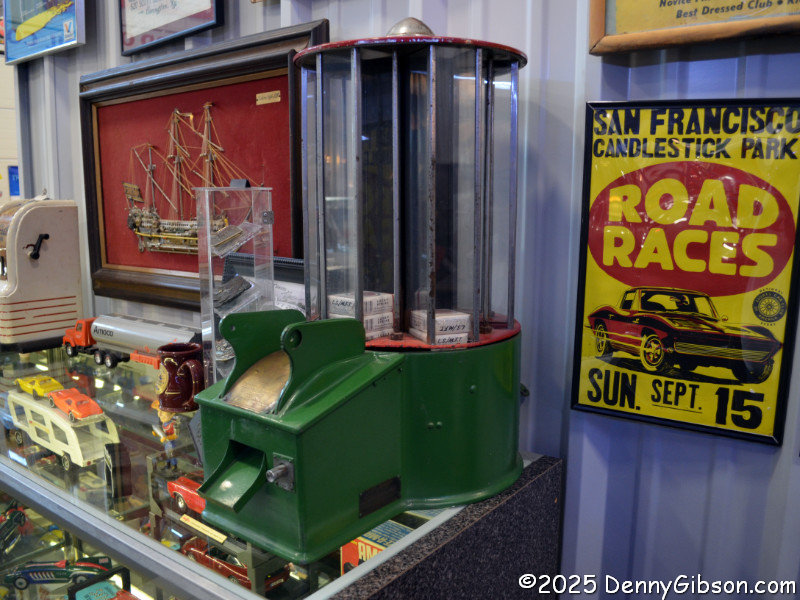
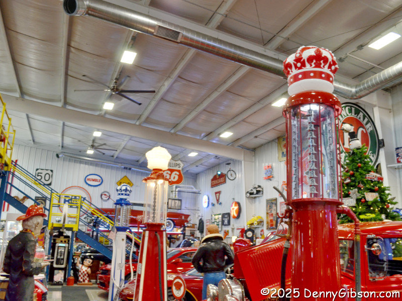
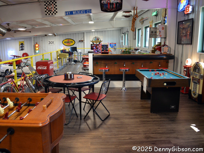
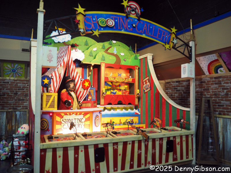
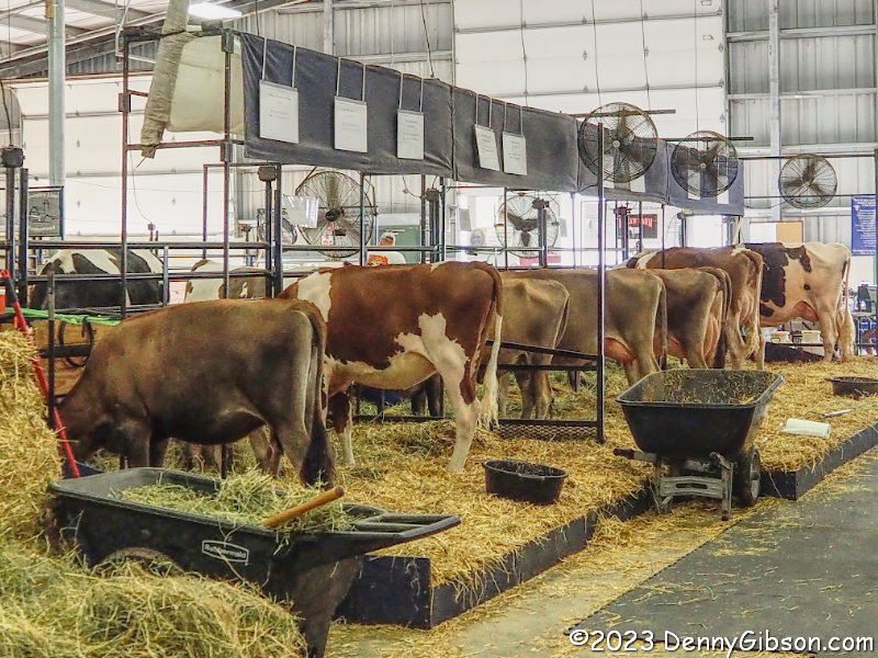
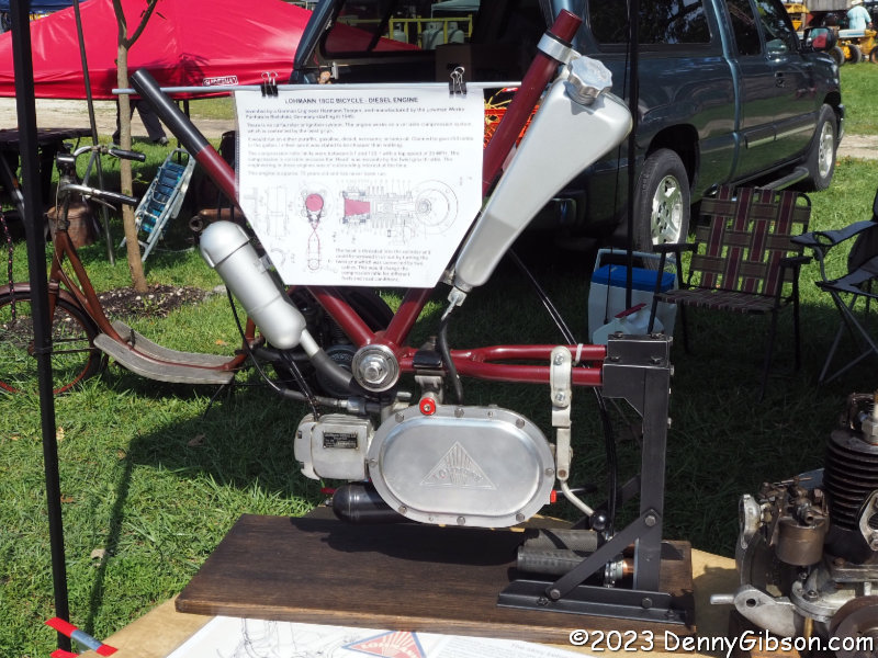
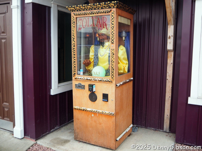
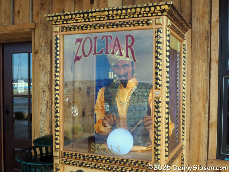
There’s really a lot more than cars here. Guys who put together car collections like this seem to naturally pick up lots of other things car-related, as well as some stuff that’s not really car-related at all. The cigarette vending machine served up a pack of smokes when a dime and a nickel were inserted simultaneously. Out of view are climate-controlled spaces similar to those seen here that are rented by individuals for car storage. And even the public space isn’t exactly all museum. A large section called The Hub can be rented for private events and has been the site of birthday and graduation parties, club meetings, and at least one wedding. Of course, parts of it do look pretty much like a museum.
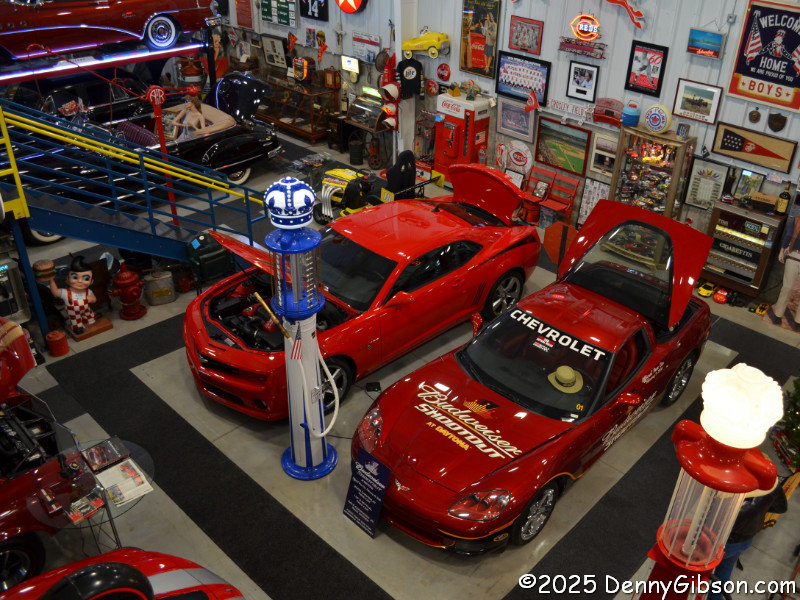
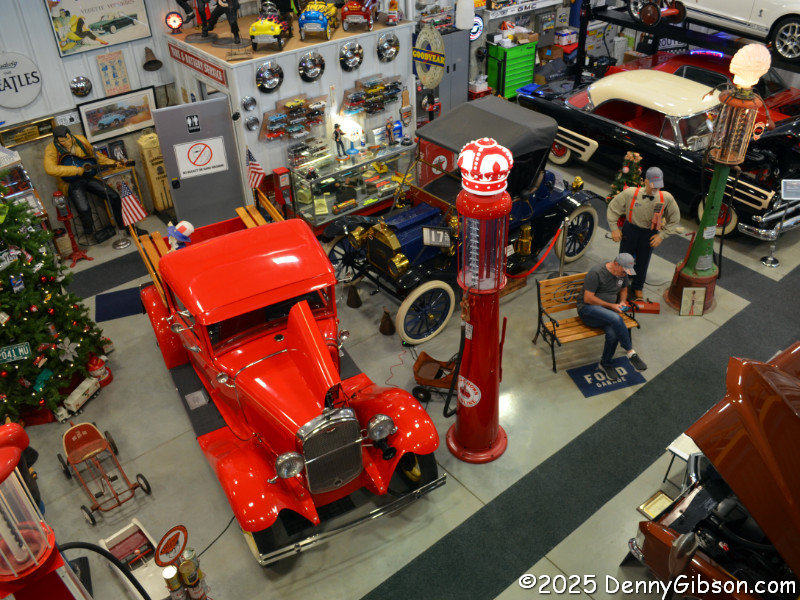
For a different view of some of the cars and maybe some fun and games, climb the stairs to the mezzanine. I did and snapped pictures that include the Hit King Camaro, the Brass Era T, and Steve TO waiting for me to come back down. He basically gave me a fully guided tour and answered every question I had, including some called down from the mezzanine.
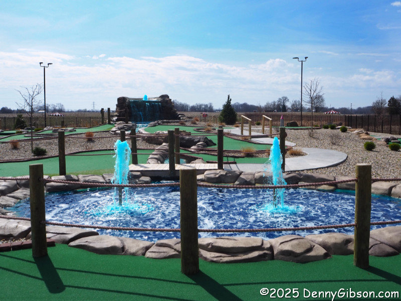
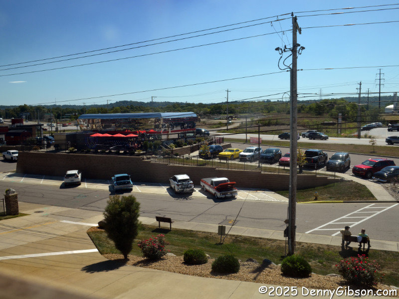 The mezzanine also provides a nice overlook of the diner and US-50 passing by. I’ve not suddenly become a fan of brand-new chrome-plated diners, and I’ll probably still cringe a little when I next find myself knee deep in Elvis & Marilyn paraphernalia, but Steve Caudill… I mean, Steve TE and his wife, Barbara, have created something pretty cool in Lawrenceburg, Indiana. The diner isn’t trying to pretend it’s something it’s not, and the museum’s impressive collection is very nicely presented. A miniature golf course is to be added to the complex in the near future. If the folks running that are as cheerful and competent as everyone I’ve met on my two visits, I might be tempted to pick up a putter for the first time in a few decades. Maybe not, though. I’m more likely to sip a milkshake while looking at cool cars and watching someone else count strokes.


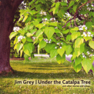 Like pictures? It’s got ’em. Like variety? Got that too. There are enough pictures to fill a deck of cards or a weekly calendar, which is not accidental. The premise for the book was writing an article to accompany a photograph every week for a year. That could very well be a student assignment in an overly long writing course and in a sense it is. Jim Grey assigned himself the exercise to, as he says, “strengthen this muscle”. He is referring to the writing muscle which can surely benefit from practice just as much as a musician’s skill or an athlete’s strength.
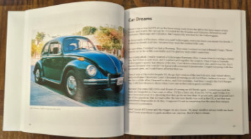 Even though photographs are at the heart of Under the Catalpa Tree, the book’s subtitle mentions only “stories and essays”. I’m guessing that is at least partially because only the stories and essays needed to be newly created for the book. The photos already existed from Grey’s many years of photographing the world around him. He doesn’t explain how the photos were selected. I am sure it was not completely random but there is tremendous variety. They range in quality from slightly fuzzy black-and-white snapshots taken years ago with a yardsale camera to crisp color images taken with high-end gear and well-developed skills. Some photos are digital but film is the source of many of the images since Grey collects — and heavily uses — film cameras. Among the subjects are family, friends, cars, houses, nature, and an abbey in Ireland.
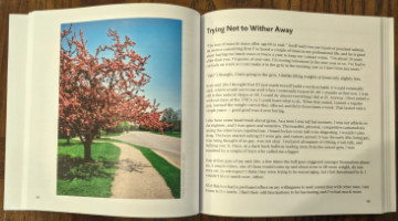 A detail I appreciate is laying out the book so that all images are alone on a left-hand page. That happens naturally when the text occupies a single page, which is common, or three pages, which is not. There are quite a few two-page essays where a blank is used to get things back in synch. Totally worth it, in my opinion. Those pages, by the way, utilize Amazon’s premium paper which has the photos looking their best.


 Jim Grey blogs, collects film cameras, uses those cameras, develops the film himself, walks, bikes, and observes. Put them together and what have you got? This book.
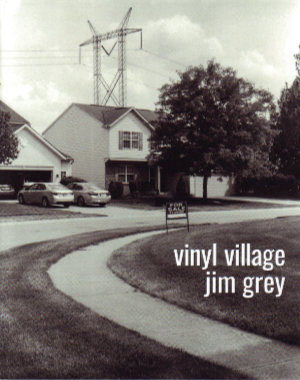
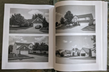 It is a story about the neighborhood in which he lives, and where he interspersed COVID-triggered working-at-home with some calorie-burning walking-near-home. We are introduced to the neighborhood as a collection of modestly priced homes in an area of pricier residences. A big attraction is access to very good schools at somewhat bargain prices. Although the location makes them bargains, they are hardly shabby and actually look quite attractive — from the front.
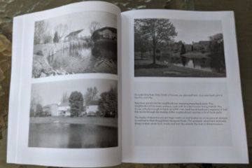 Construction is wood frame with vinyl siding and brick accents. Those accents, however, are almost entirely on the front of the houses. The other three sides are the focus of the story. Part of Grey’s story is about these sides being exposed by the curving streets, numerous retention ponds, and open spaces created by electric and gas lines.
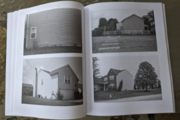 The rest of the story is about those exposed surfaces and areas being a long way from handsome. The story’s name comes from the large expanses of vinyl siding exposed by those curves and ponds. Windows are few and from the outside often appear to be placed rather randomly and often awkwardly. Many side walls are unbroken by any windows at all.
 There are few words but lots of pictures. The pictures are black and white and large. The most common arrangement is two 4×6 inch photos to a page. Where words do appear, they typically share a page with one of those 4×6 photos. Occasionally a photo gets a page all to itself which lets it grow to approximately 5 1/2 by 8 1/4 inches. Grey has changed publishing platforms (from Blurb to Amazon) for this project which results in some physical differences from the previous essays. The pages are slightly smaller (8×10 vs 8.5×11) and the paper used is uncoated rather than semi-gloss. Photo quality does suffer but again it is the subject of the picture that is important. The pictures are here to document the subject and illustrate Grey’s story, not to be admired in and of themselves. It’s an assignment they handle quite well.
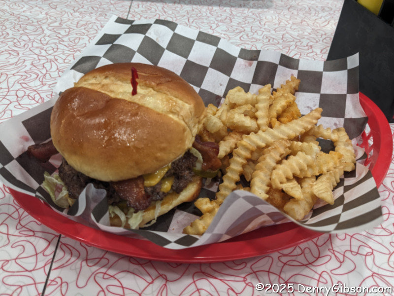