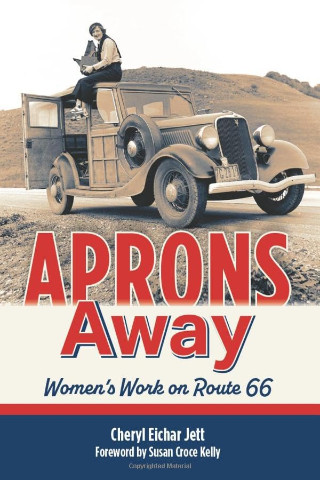
I’ve commented before that “Why another Route 66 book?” is something I sometimes ask. I more or less thought I would be asking that question about Aprons Away: Women’s Work on Route 66, but found it wasn’t really needed. This is not, in my opinion, “another Route 66 book”. It is a book about women who made meaningful contributions to the world and who happen to have a connection to the route. For some, that connection is lifelong and one that defines their contribution. For others, Route 66 is associated with a smaller—sometimes much smaller—portion of their accomplishments. You won’t learn all that much about Route 66 from this book. You will learn a lot about a bunch of women who left their mark on the world. Route 66 is not the subject of this book; it is only the filter for selecting the subjects.
Jett divided those subjects into ten chapters, starting with “Blueprints” and ending with “The Documentarians”. Each chapter begins with a brief introduction of each of the chapter’s subjects, including some hints as to what each of them accomplished. Not so brief, but not overly long, biographies follow. Most are only a page or two, but each one makes it clear just made the woman stand out and what connected her to Route 66.
In interviews, Jett has said that the first stories in her collection about women and Route 66 were of women in “visible roles”. By that, she meant waitresses, motel operators, and others who were visible to travelers on the road. Neither of the categories I’ve mentioned, “Blueprints” and “The Documentarians”, is visible in that sense, but each contains someone quite visible to the world at large. The person whose biography begins the book, Mary Colter, is best known to fans of Route 66 as the architect of La Posada hotel in Winslow, AZ, but is highly visible to others for her wide-ranging design work on and off the route. Dorothea Lange, who appears on the cover of Aprons Away, is undoubtedly the documentarian in the book with the highest level of visibility. Her depression era photographs are some of the most recognized in the world.
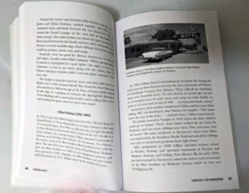
“An Apron and a Coffee Pot”, “The Gas Station Girls”, “The Inn Keepers”, and “The Entrepreneurs” more closely match the “visible roles” Jett was referencing. Sometimes women waited tables, pumped gas, registered guests, or collected tickets for a business run by their husband or father, but not always. Lucille Hamons, Lillian Redman, and Ramona Lehman are names that nearly every fan of Route 66 will recognize for their major roles in customer-facing businesses along the route. The other categories, “Public Service”, “The Artists”, “World War II”, and “Design and Engineering” also have stars that are known to many who have traveled or studied the route.
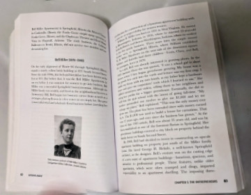
Of course, every one of those chapters has several sections on people much less famous than Lange or Colter or Redman, and that’s why we buy such books. In fact, I’m guessing that it’s pretty much why the book was written. I strongly suspect that Jett would have heard some complaints had she not included Colter and others of equal fame, but there are numerous places we can read about those folks. I did not count them, but understand there are more than eighty women profiled in Aprons Away. Every one of them deserves to be here, and their stories deserve to be told. Jett has uncovered some very interesting women and has done a nice job of sharing their collected stories. I was familiar with well under half, maybe no more than a quarter, before meeting them in this book. New knowledge is a good thing.
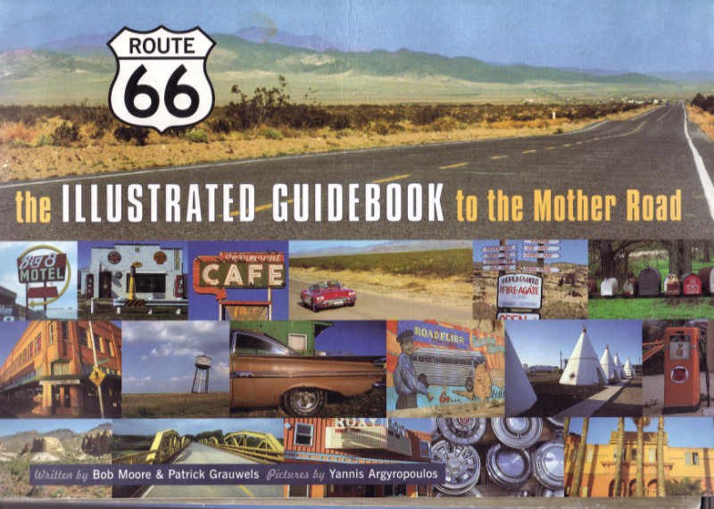
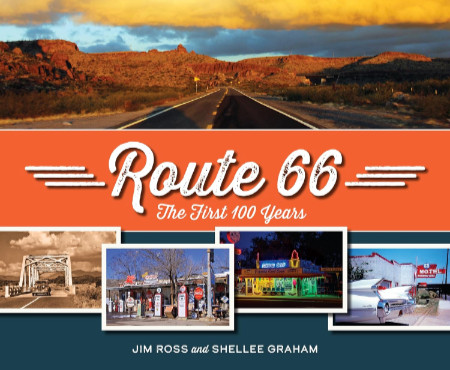
Aprons Away Women’s Work on Route 66, Cheryl Eichar Jett, Reedy Press (April 1, 2026), 6 x 9 inches, 224 pages, ISBN 978-1681066349
Available through Amazon.
 It’s probably not hard to guess that this post was triggered by two recent reviews of books with titles (
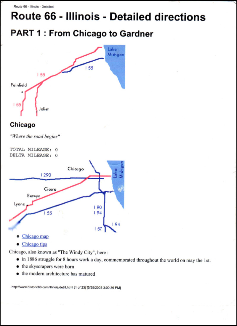
 There has always been a GPS in my car, starting with the very first of my documented road trips. The earliest ones I used showed me my position on a map and the straight-line distance to cities and other places. They did not offer routing. I actually doubt that routing was even possible before the government dropped “selective availability”, which limited the accuracy of civilian receivers, in 2000. I acquired a unit capable of routing in 2006 and started plotting downloadable routes for my trips. This included some partial Route 66 outings using directions in a first-edition EZ66 Guide, which I’d bought from Jerry in 2005. For my third full-length trip in 2012, I used a store-bought route.
 That title may look familiar. If so, one reason might be the similarly named Route 66: The First 100 Years, reviewed
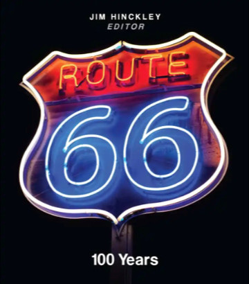
 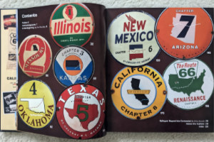 Route 66: 100 Years is an anthology edited by Jim Hinckley of
 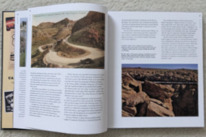 Like the beginning pages of many books about historic highways, the introduction includes tales of how the early automobile roads followed native trails, animal migration paths, and train tracks. And it talks about the impact that the popularity of bicycles had on the desire for and development of roads outside of cities toward the end of the 19th century. What makes it a little different from most similar writings is that it provides some details about organizations and specific events during road development during this era of pedal-powered transportation.
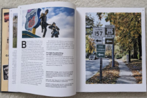 The state chapters appear in geographic sequence, east to west, which is the direction most people travel the route. Together, they provide a sort of combination travel guide and history lesson. I’m not talking about a travel guide with turn-by-turn directions, motel phone numbers, and such. However, most towns along the route are mentioned — and US 66 was a great connector of small towns — along with numerous points of interest. There is usually some history given about each town and POI, and there is plenty of history about the route itself.
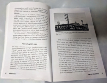
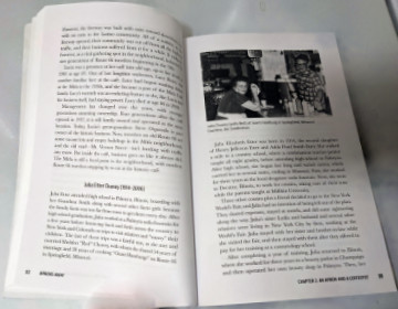
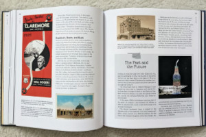 The book is definitely well-illustrated. I don’t believe there is a single page, besides the index and authors’ bios, without at least one image. These include modern and period photographs, postcards, advertising brochures, and other items. Joe Sonderman supplied some of those postcards and brochures, as did big-time collectors Mike Ward and Steve Rider. I was extremely pleased to see a photo from the collection of the late Laurel Kane included. Many of the modern photos were taken by Jim Hinckley and his wife, Judy. I saw no photos from either Rhys Martin or Greg Hasman, although I know both are excellent photographers. I did see photos from Shutterstock, Alamy, and Getty. I thought both situations were curious, but the final product comes off well.
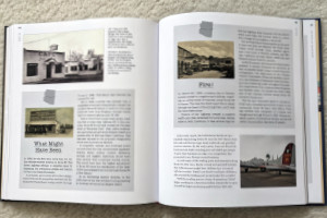 The quality of the book is quite good. Color and black-and-white images show nicely on the heavyweight glossy pages, and the layout serves them well. All have descriptive cut lines that include source credits. There are numerous sidebars, most with their own images, providing extra information outside of the main text flow.
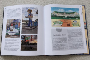 The individual states that carried US 66 account for eight chapters. The book has nine. Dries Bessels, a resident of the Netherlands, authored a chapter named “Renaissance”. Dries has guided multiple tours down the length of Route 66 and provides an outside-the-country view of the historic road. The “renaissance” he writes about is its emergence as a travel destination for both Americans and foreigners after being bypassed and decommissioned. America, essentially spared the devastation that WWII brought to Europe, was the land of dreams to post-war Europeans, and Route 66 was a tangible thing that rolled right through those dreams. Today, Route 66 is still regarded as a way to experience a diverse range of America.


 It’s a beauty. That was my initial thought when I first held this book in my hands and flipped it open. I wasn’t surprised, of course. I’ve seen enough of Jim and Shellee’s work to make me expect great photography and writing, a top-tier knowledge of history, and a rock-solid commitment to quality. I’m not quite as familiar with Reedy Press, but what I have seen smacks of the quality targeted in that previously mentioned commitment. My instant declaration of beauty came from seeing great images accurately reproduced on thick glossy pages. Including the text in my appraisal took only a little more time.
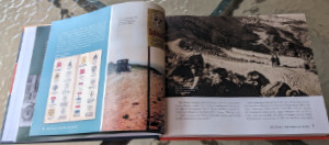 Unlike many other Route 66-related books, Route 66: The First 100 Years is not organized geographically. Nor is it organized chronologically as history books often are. There is a slight hint of chronology in discussing the roads that preceded US 66 in Chapter 1, “Revolutionizing Travel”, and covering “Renaissance” and “Preservation” in the last two chapters. In between, chapter subjects might be eras (e.g., “Hard Times”), collections of people (e.g., “Ladies of Legend”) and businesses (e.g., “Trading Posts and Tourist Traps”), or something else. Whatever the subject, a wide-ranging set of examples is included. But 100 years and 2400+ miles cover a lot of space and time, and anyone with more than a passing familiarity with Route 66 will probably come up with a personal favorite or two that didn’t get included. The selection process could not have been easy, but the selections are excellent.
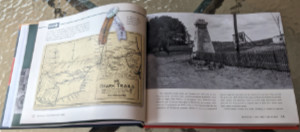 Every chapter, like the vast majority of real-life road trips, has a “Detour”. The book’s detours are deep dives into one of the chapter’s subjects, and not all of them are obvious. The detour for the “Revolutionizing Travel” chapter is “The Ozark Trails”. This was an early named auto trail, or actually a system of auto trails, that, in my experience, doesn’t seem to get enough recognition. The “Hard Times” chapter takes a detour into an area that has been overlooked far too often for far too long: “The Green Book and Threatt Filling Station”.
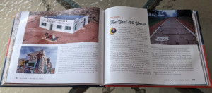 It’s probably not all that surprising that Route 66: The First 100 Years overflows its twelve numbered chapters. It starts with a full page of Acknowledgments, followed by a Forward written by Route 66’s storytelling king, Michael Wallis. Jim and Shellee follow that with a Preamble, then include an Epilogue, Road Facts, and a few other sections after Chapter 12. One of these sections, titled “Happy Trails”, is a collection of roadside photos taken over the Mother Road’s first 100 years. Many are of unidentified travelers, but there are some real celebrities in the mix. There’s Jack Rittenhouse standing beside a California U.S. 66 sign, Lillian Redman by an Arizona 66 sign, and Cynthia Troup gazing at a U.S. 66 sign in New Mexico. As I said earlier, 100 years and 2400+ miles cover a lot of space and time. Jim and Shellee have done an impressive job of capturing the big picture and quite a few of the small picture details, too.