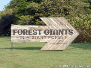
 Just like the subject of last week’s post, I’ve been aware of the subject of this week’s post, since it — or they — first appeared in early spring. And, just like last week’s walk, a visit to Bernheim Forest and Thomas Dambo’s giants has been waiting for good weather and available time. However, it took more than clear sky and schedule for me to actually make it. It took two tries.
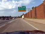
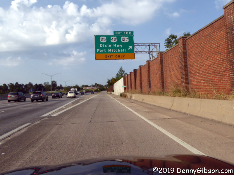
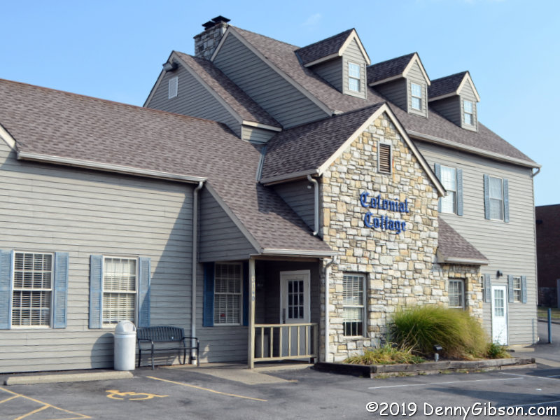
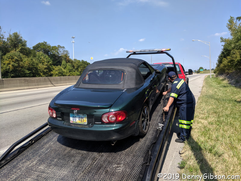
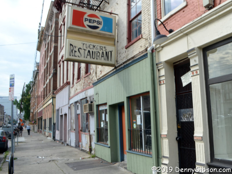
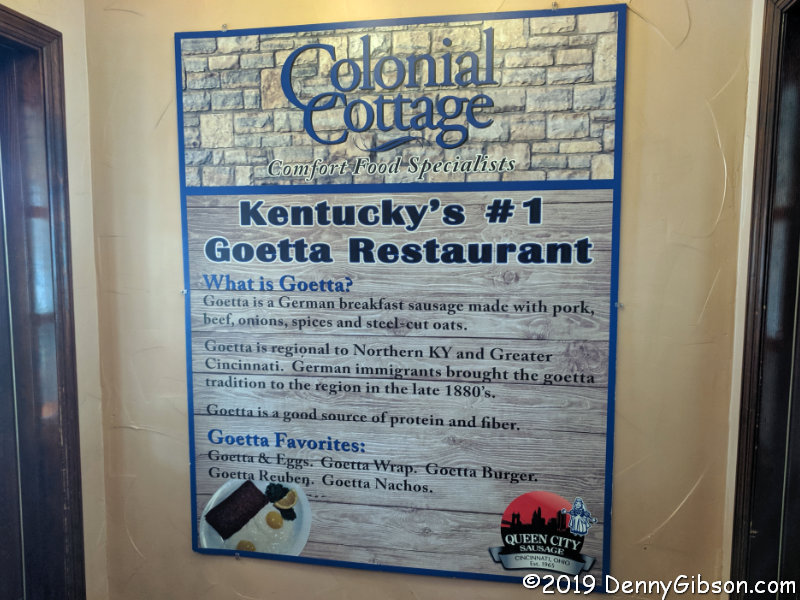
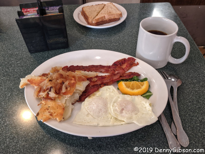
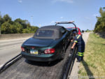 The first try was on Monday. Bernheim Forest lies just twenty-some miles south of Louisville, KY, and I planned to drive most of the way on US-42. I used I-71 to get through Cincinnati then left it for US-42 — and the Dixie Highway. This gave me a chance to stop by a restaurant that has been on my to-eat list for quite some time. Colonial Cottage has been serving Dixie Highway travelers since 1933 while establishing itself as the “Kentucky’s # 1 Goetta Restaurant“. They are also known for their omelets so my first meal there was naturally a goetta & mushroom omelet. I returned to US-42 but the trip was cut short by a flat tire. A broken wheel key/spline meant the car had to be towed to get the wheel off. I’ll make the story as short as that Monday trip by saying that I did eventually get home and the tire did get replaced.
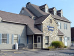
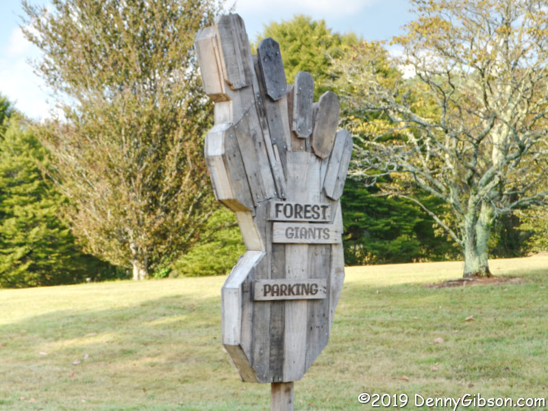
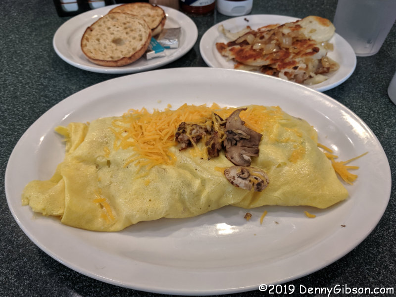
 Friday began as an exact repeat. I-71 through the city, exit on the Dixie, and stop at Colonial Cottage. There things started to change. Monday’s omelet had been absolutely wonderful and today’s breakfast was too but today I had no goetta. Then no flat tire. Then I made it all the way to the forest with no problems. It isn’t possible to reach the giants without some walking although there are parking spots, marked by big wooden feet, that can be used to lessen it. Maps are available at the Visitor Center where a trail leading to all the giants begins. The lady handing out maps provided a very good overview and told me the trail was approximately one mile each way.
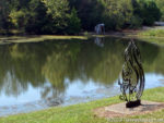

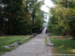
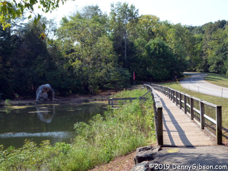
 From the trail, the first giant sighting is across the Olmsted Ponds not far from the Visitor Center. This is Little Nis. The road in the second picture leads to the Visitor Center and a glimpse of Little Nis can be had from it on the way in. I believe this is the only one of the three giants visible from a drivable road.
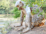
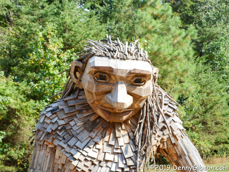
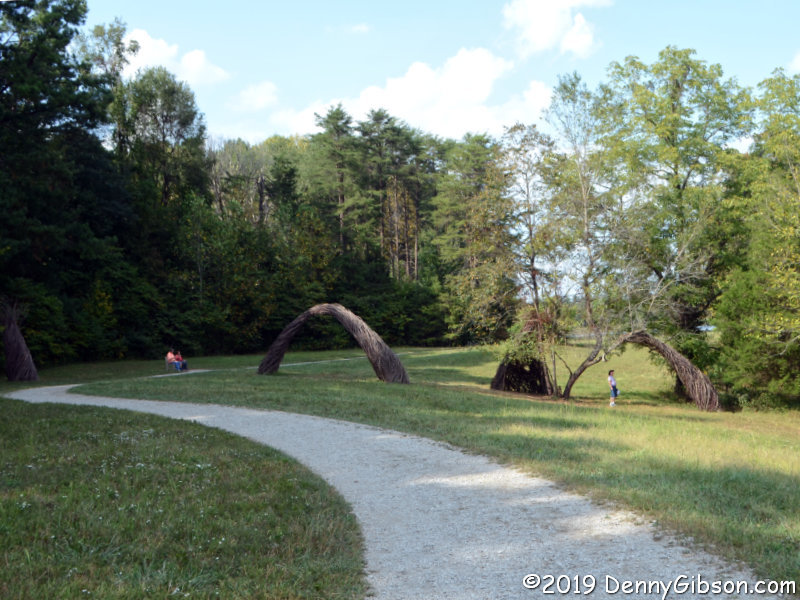
 This is Mama Loumari, mother of Little Nis and the yet to be seen Little Elina. It’s rather obvious that a third little giant is on the way. Nis didn’t seem to have much of an expression at all and I thought that same about Elina. When viewed straight on, Loumari looks sad or maybe just tired. However, in the second picture, taken from her right side, there’s the hint of a smile on her lips. Maybe she’s thinking about the coming birth or maybe it’s because she knows, as Warren Zevon would say, her hair is perfect.
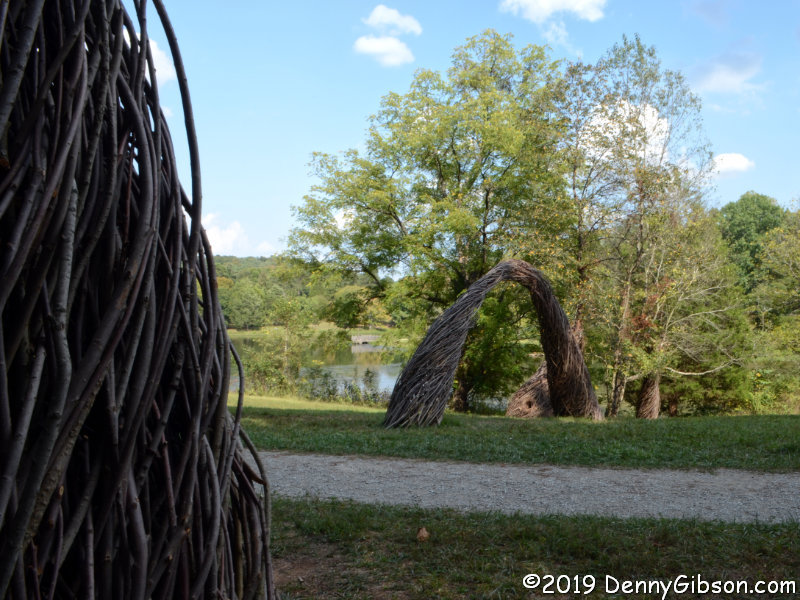
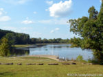 The path between Loumari and Elina leads right behind Sunset Amphitheater at the south end of Lake Nevin. This 25-acre lake appears to be the largest body of water in Bernheim Forest. Fishing from the bank is permitted but I don’t know the details.

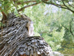
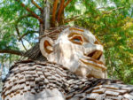
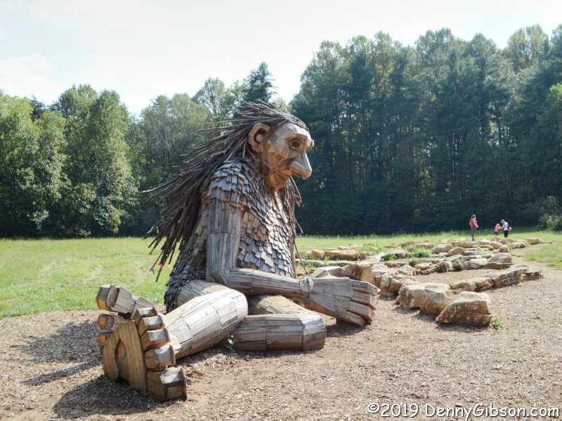
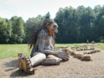 Having detected the beginnings of a smile on Mama Loumari’s face, I’m really starting to doubt my belief that both of her children lack any sort of facial expression. Maybe I just didn’t look hard enough or from enough angles. You know? I believe I can actually see Little Elina at least thinking about smiling if I look hard enough.

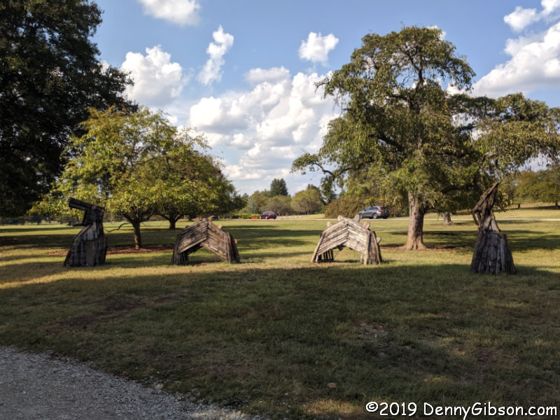
 The lady at the Visitor Center had marked this installation just beyond Elina and I think she even told me who the artist was. You can probably guess just how long I remembered that. It reminds me of other pieces I’ve seen built of twigs including a large maze-like structure in front of the Taft Museum in Cincinnati.


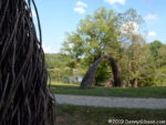
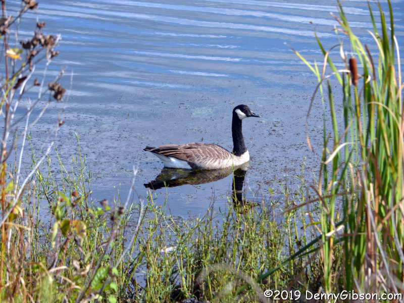
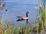 An imprecise visual study of the map indicated that there wasn’t a great deal of difference in length between retracing my steps and continuing on around Lake Nevin. I opted for the new-to-me path and almost immediately encountered this solitary duck. A peaceful spot at the lake’s northern end offered a view back towards Sunset Amphitheater. I first encountered the sea-serpent head-on and had no idea what it was. The side view (and the sign;-) cleared things up.
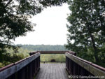
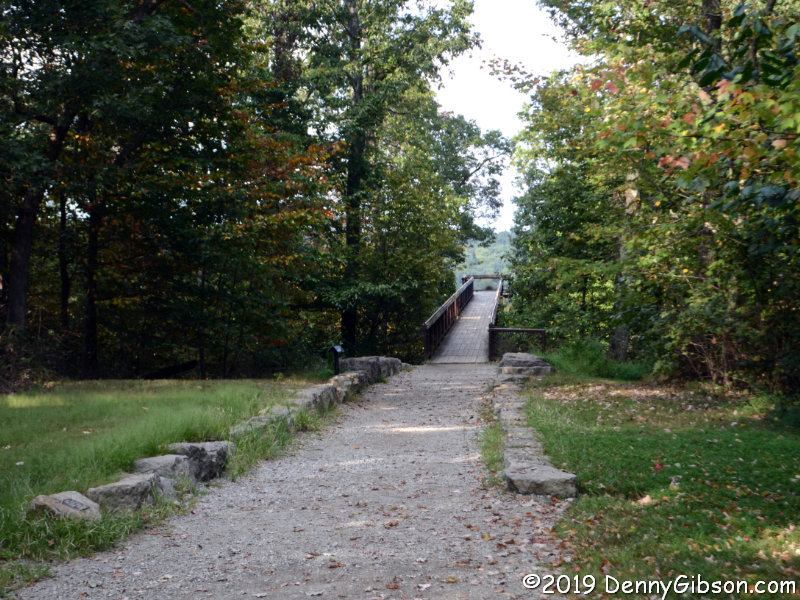
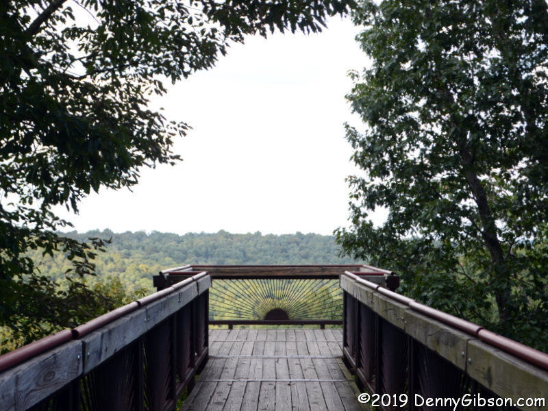
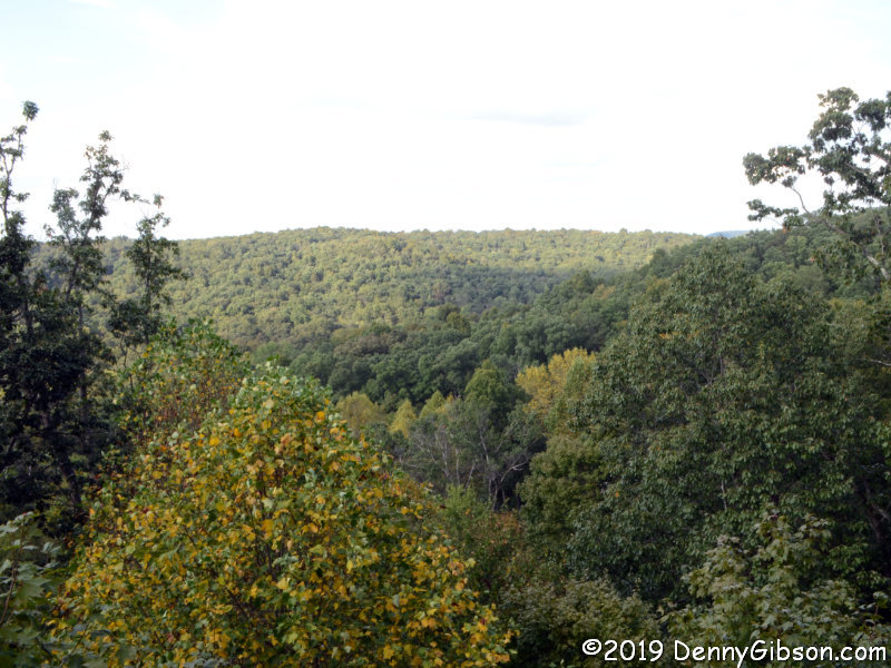
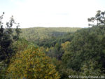 Back at the Visitor Center, I rested a bit then headed off to another spot marked on my map. I drove a couple of miles then parked near a 75-feet high platform overlooking the forest. This is Canopy Tree Walk. On the way back, I checked out the trees directly below the walkway.
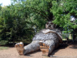
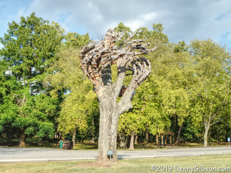
 The area around Canopy Tree Walk was to close at 6:00. When I passed back through the gate about 5:30 a ranger was in place waiting to lock it. No one was being rushed but I’m guessing he wasn’t letting any more cars in. I got to see a little more of the forest as I worked my way back to the main exit. I didn’t see it all, of course. This isn’t the sort of place that can be seen in a single afternoon. I came only to see the giants and I saw much more including this tree with prosthetic limbs. Really wasn’t expecting that.

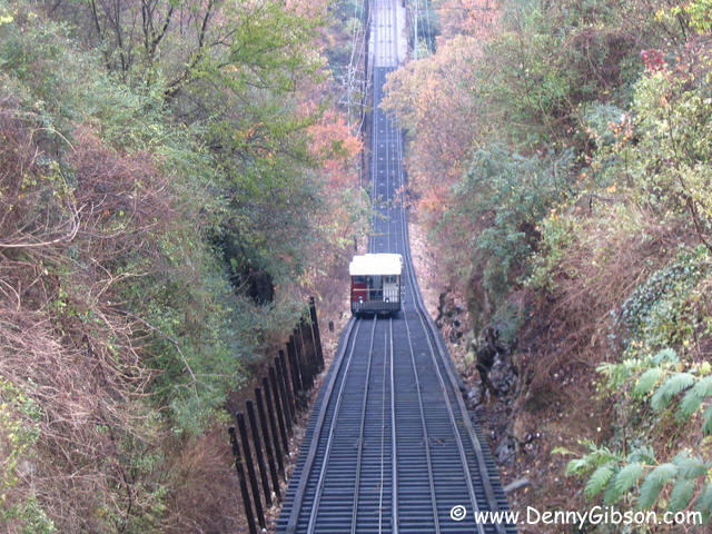 This picture is from my 2004 Rock and Stone trip. It was one of those working trips that I stretched into a personal trip with a weekend and a couple of vacation days. The work site was in Ty Cobb’s birthplace, Royston, Georgia, so that’s where the trip journal really begins. The title comes from stops at Rock City and Stone Mountain. The picture comes from a ride on Chattanooga’s incline.


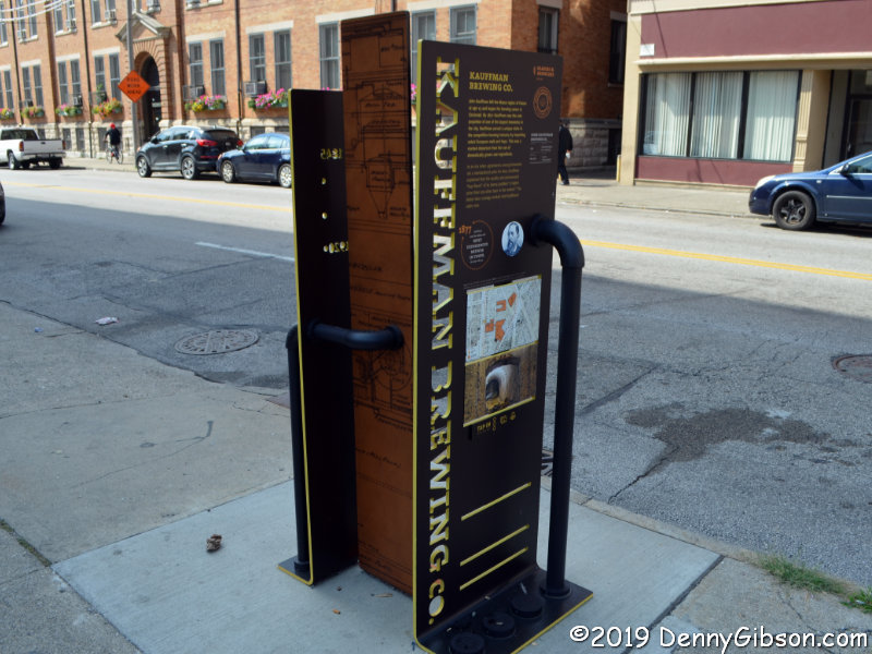
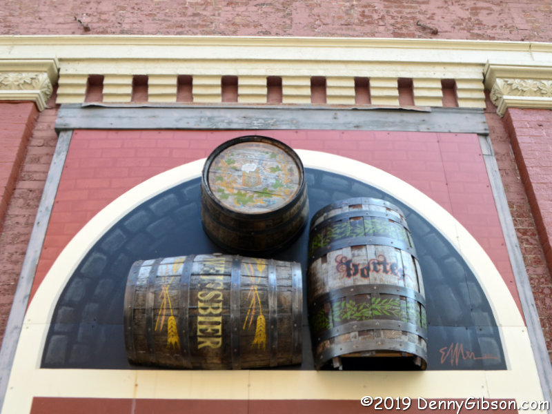
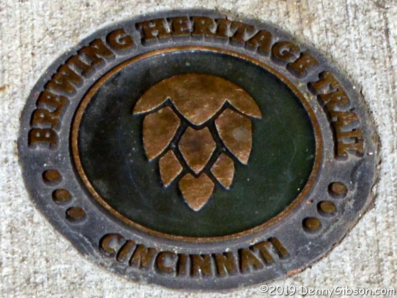
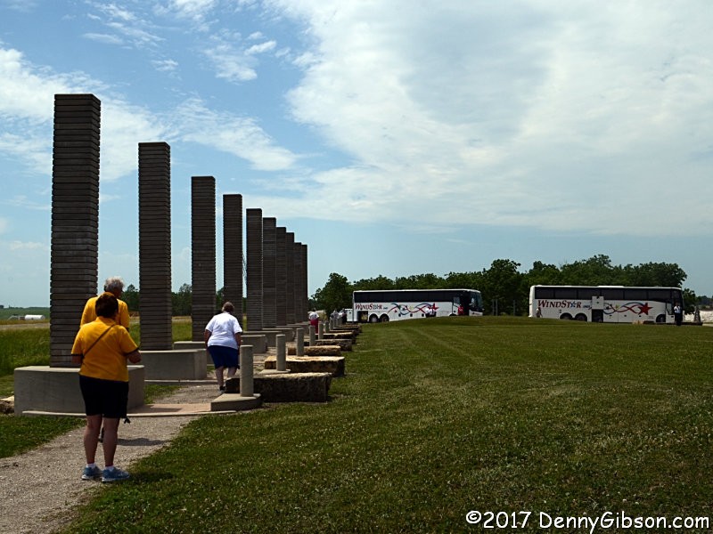
 Sometimes I astound my friends with my knowledge, admittedly quite useless, of unusual and obscure roadside attractions. Othertimes I astound myself with my complete ignorance of a major and fairly well-known piece of public art.


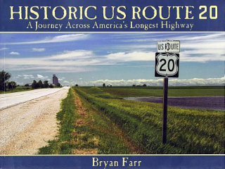 This book didn’t put US-20 on my to‑drive list, that happened long ago, but it did move it up quite a bit. At 3365 miles, Route 20 is currently the longest of the U.S. Numbered Highways so it’s quite naturally a road I’ve thought about driving. I have driven bits of it, of course, and crossed over it many times. It would be pretty hard to completely avoid a road that crosses the entire country as this one does. In Historic US Route 20: A Journey Across America’s Longest Highway, Bryan Farr documents an east to west drive over the entire length of the highway and the entire breadth of the nation with a couple hundred great color photos. There is something I’d like to see in just about every one of those photos.