 Once upon a time, a hostile military force passed less than four miles from where I live. I wasn’t here at the time. I wasn’t anywhere yet. It was 1863 and Confederate soldiers commanded by General John Hunt Morgan were on their way to reaching as far north as any Confederate soldiers ever would. That would occur on July 26 when Morgan and what was left of his troops were captured near Salineville, Ohio. On Monday, my friend, Terry, and I set out to retrace the Indiana and Ohio portions of Morgan’s three-state raid. Even though it was a slaveholding state, Kentucky did not join the Confederacy so Morgan was technically in enemy territory as soon as he entered the state but things really got interesting when he crossed the Ohio River. That’s where Terry and I started our raid following.
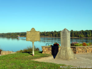
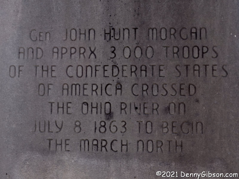
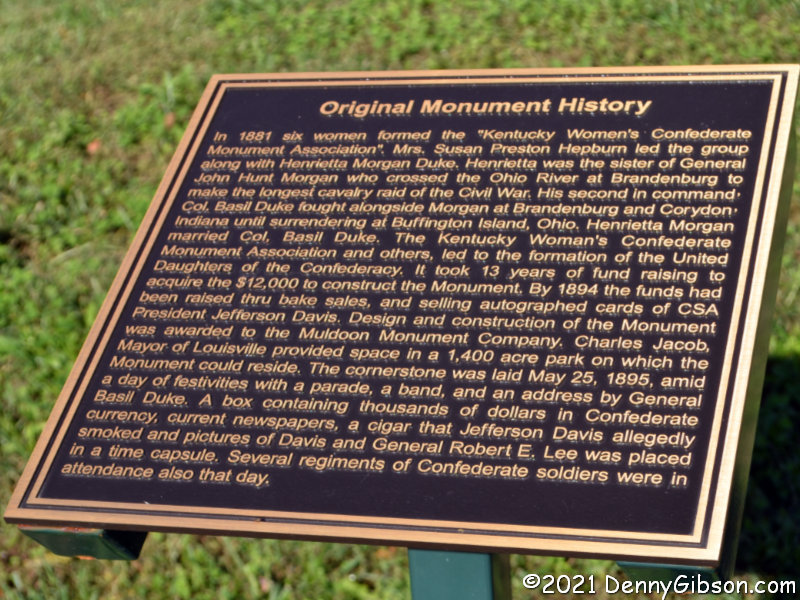
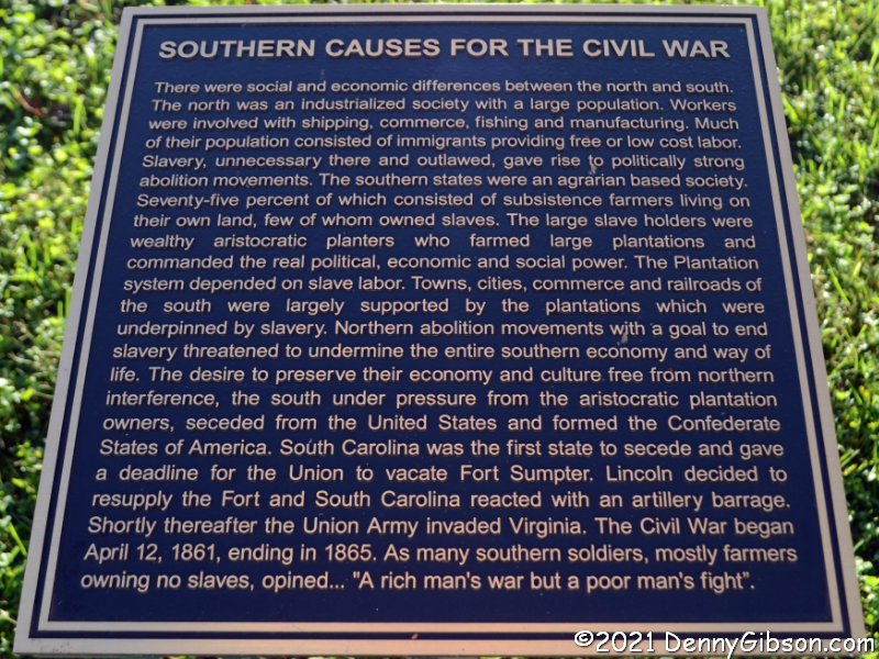
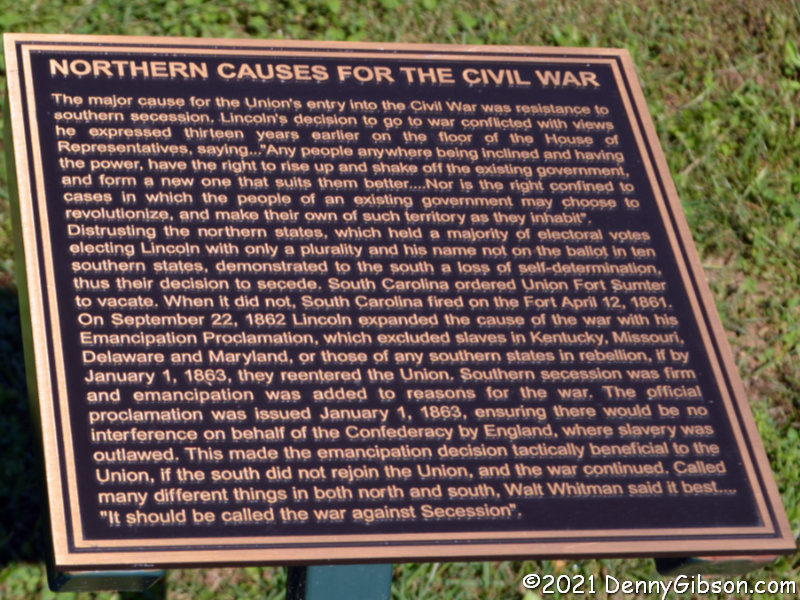
 In the opening photograph, which looks across the Ohio River into Indiana from Brandenburg, KY, the raid is the subject of the metal marker and is noted on the stone marker. Both are overshadowed by a seventy-foot Confederate Veterans Monument that was moved here from Louisville, KY, in 2016. Louisville was beginning to think that distancing itself from the Confederacy might be a good idea but not so Brandenburg. Plaques at the monument’s new location tell its original history along with the story of its move. A “Southern Causes for the Civil War” plaque has a noticeable Confederate spin but does present something of a list of perceived causes. A “Northern Causes for the Civil War” plaque properly identifies a cause as “resistance to southern succession” then fills the panel with “things the Yankees did that pissed us off”.
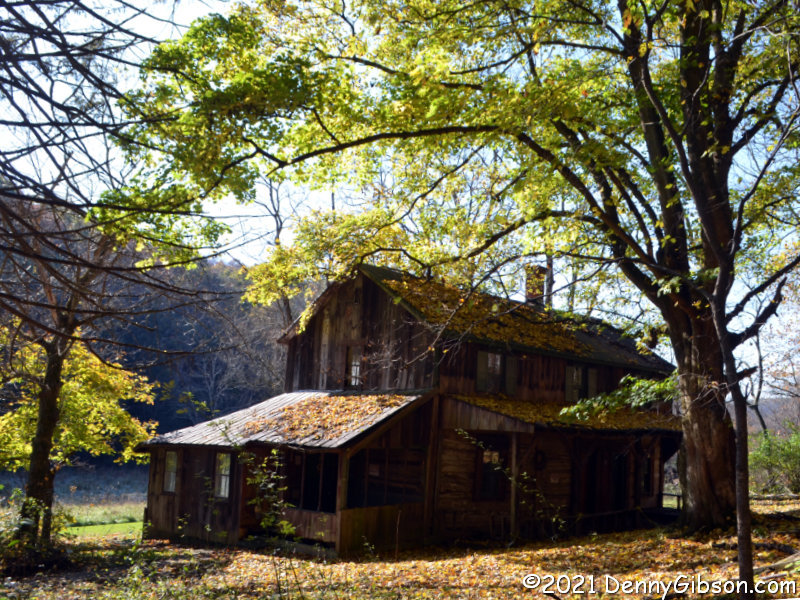
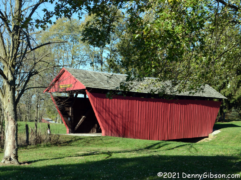
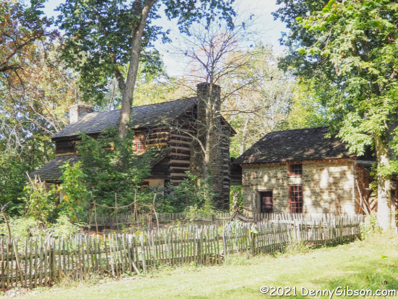
Morgan spent eighteen days traveling through Indiana and Ohio. We spent four. We were traveling faster — and more comfortably — of course, plus we had the advantage of a path marked by signs and documented in guidebooks. The books used were “The John Hunt Morgan Heritage Trail in Indiana” by Lora Schmidt Cahill and “Morgan’s Raid Across Ohio” by Lora Schmidt Cahill and David L. Mowery. The signed route and the route described in the books do occasionally differ. I suspect that the signed route bypasses some of the rougher roads but I’m not certain of that and there may be other reasons for differences. Whatever the reasons, the differences are not many. We stopped at most of the sites marked by interpretive signs or called out in the books but did miss a few — sometimes intentionally, sometimes by accident. Only a few of those stops are covered in this post. It’s a brief recounting of our “raid”, not Morgan’s.

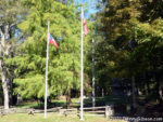
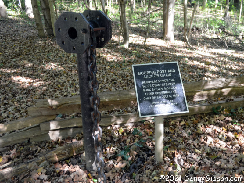
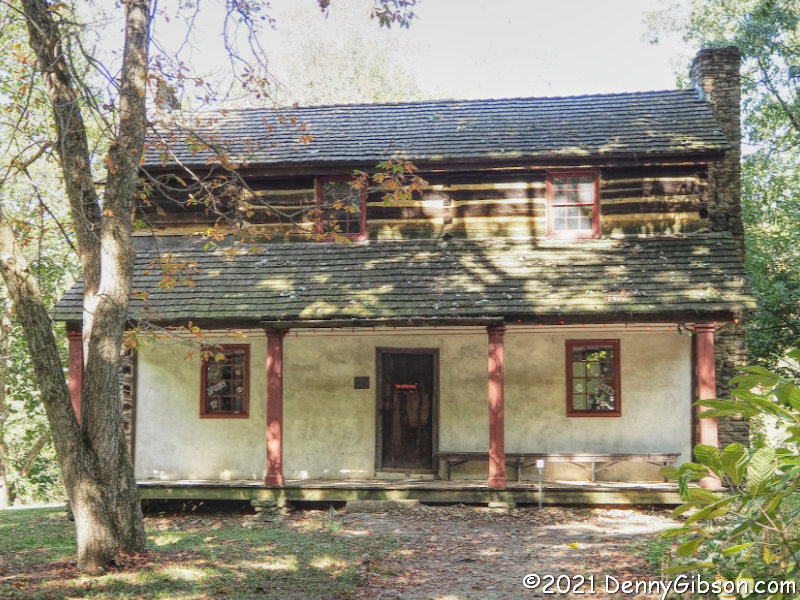
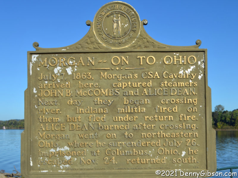
 This is the Battle of Corydon Historic Site. I’ve included it to point out that the flag being flown to represent the Confederacy is the first official flag of the Confederate States of America. It is often referred to as the “Stars and Bars”. Artifacts from the steamboat Alice Dean, which Morgan sank after using it in crossing the Ohio River, are displayed here.

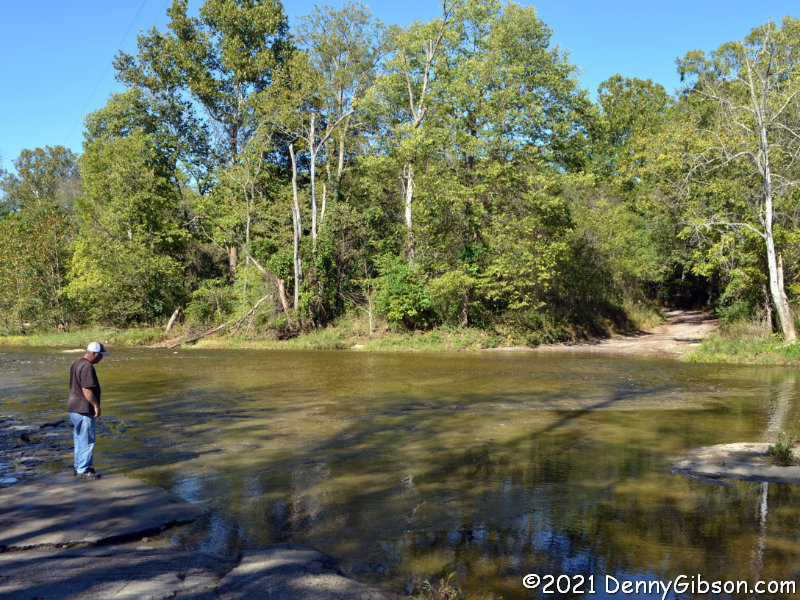
 In the spirit of cordless phones, unleaded gas, and mirrorless cameras, this is a bridgeless creek. Terry looked over the ford at Big Graham Creek and spoke with a mother and a couple of kids beside the creek before deciding to take the plunge. Just as we started across, a pickup appeared on the opposite bank and entered the water without a pause. He passed us mid-stream on our left as a Jeep pulling a trailer followed us. Indiana may have to post some “congested ford” signs if that level of traffic continues.
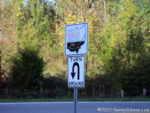
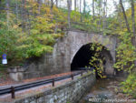
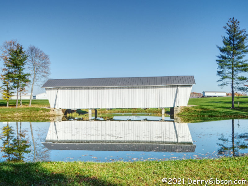
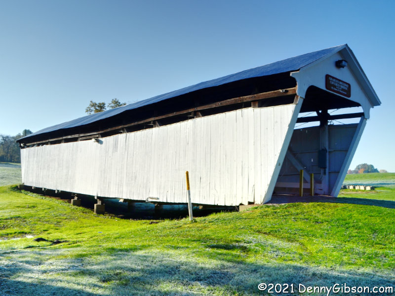
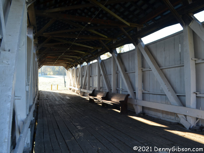
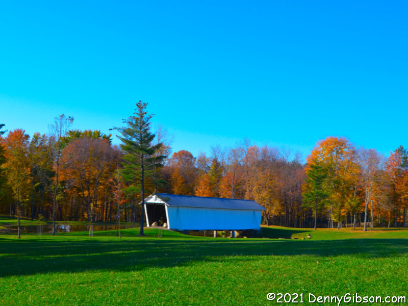
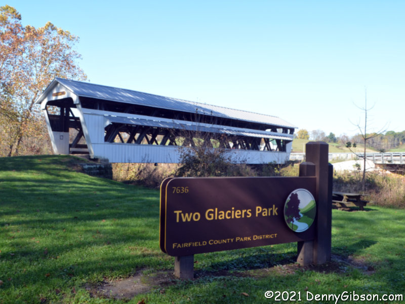
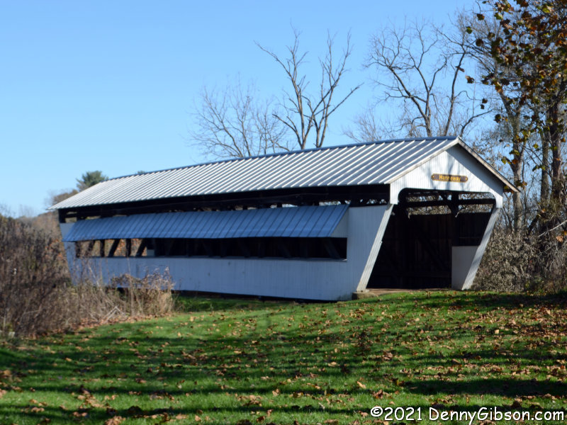
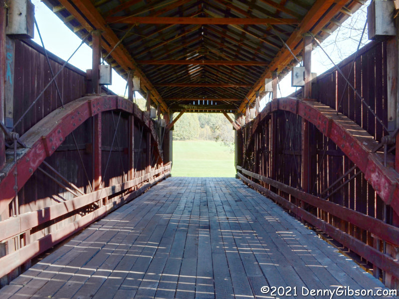
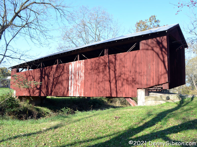
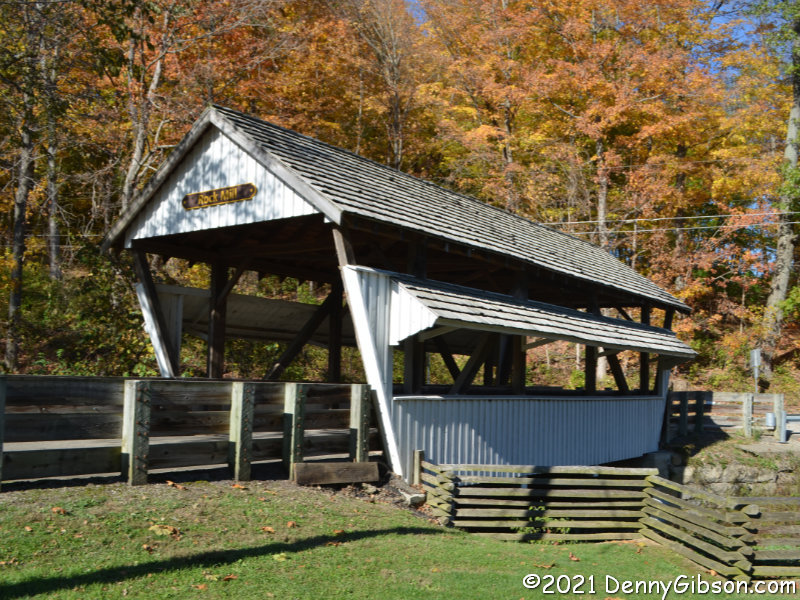
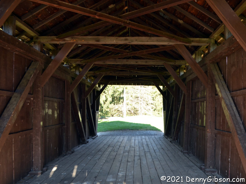
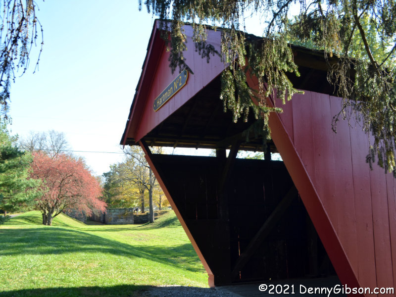
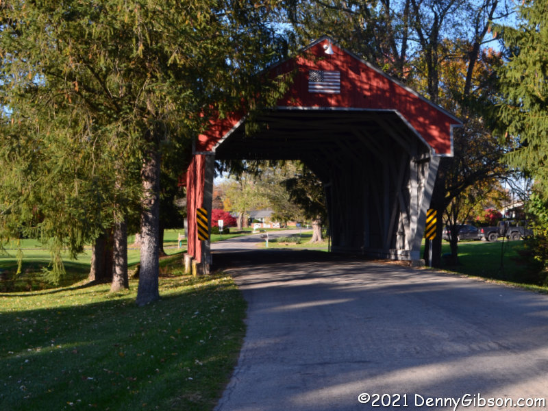
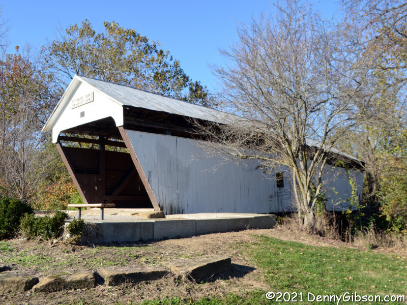
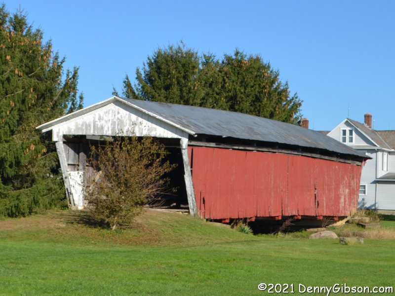
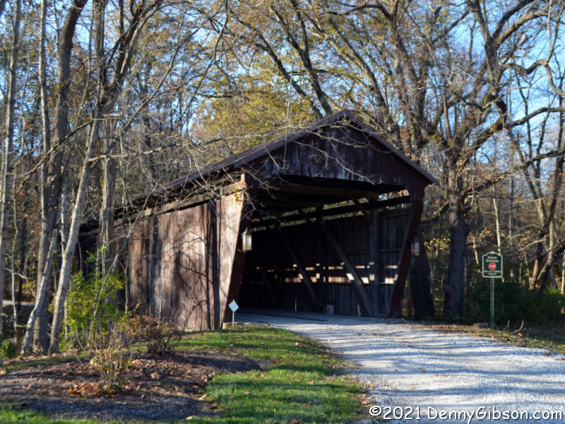
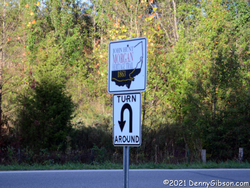
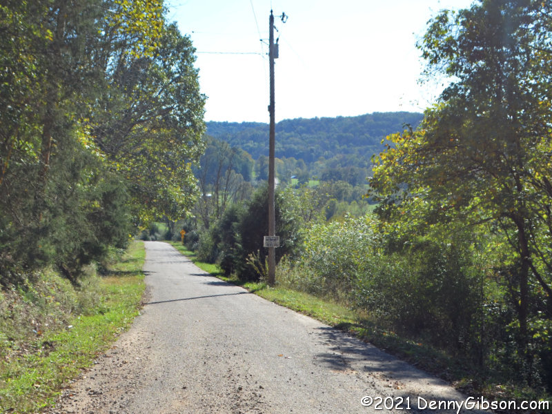
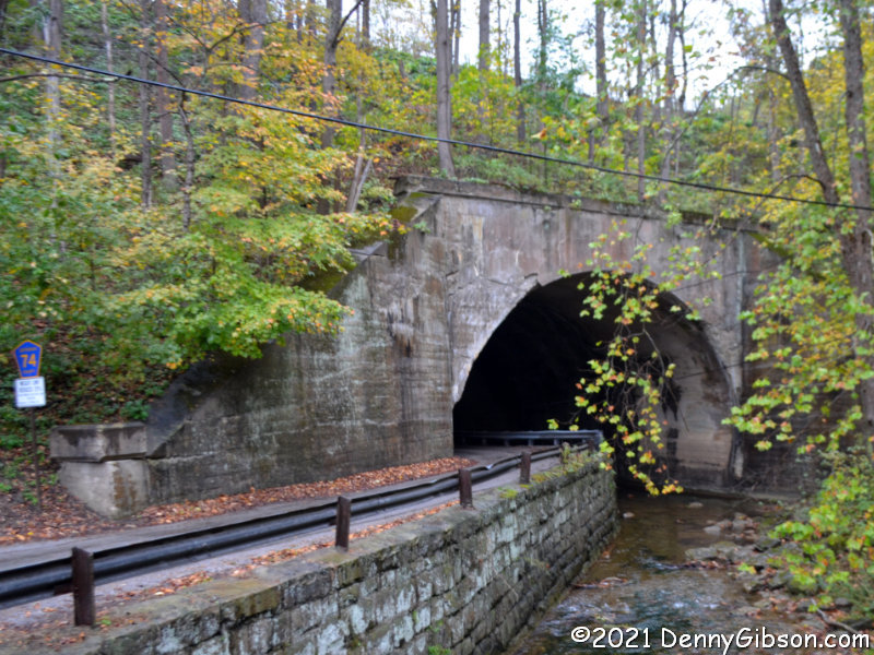
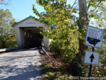 Apparently, I grabbed no photos of the trail signs in Indiana. These are in Ohio. The first is at the Harrshaville Covered Bridge which was one of the few bridges crossed but not burned by the raiders. It was renovated in 2013. The U-turn sign is near Rock Springs Park where some of the raiders rested briefly. I’ve included it to show how well the driving tour is marked.
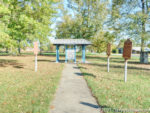
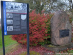
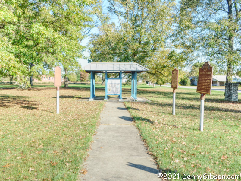
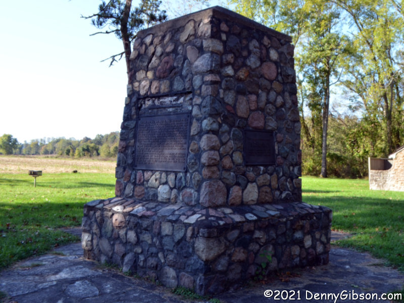
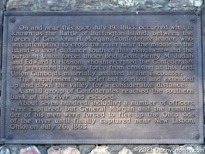
 This is Buffington Island Battlefield Memorial Park. This is where things started to unravel for Morgan. Union forces met up with the raiders as they attempted to cross the Ohio River into the recently established (June 20, 1863) West Virginia. Some made it, some were captured, and some, including Morgan, escaped to run around Ohio for another week. “Run” is the appropriate word as Union troops were in close pursuit of the raiders from now on. Read the plaque on that stone marker here.

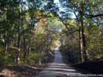
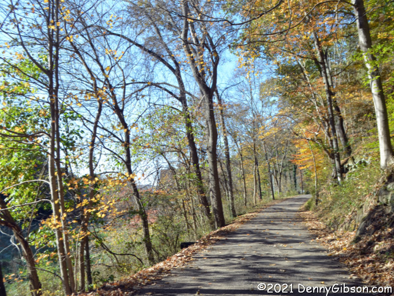
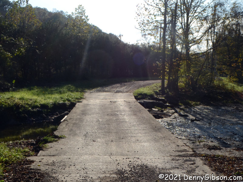
 Here are a few of the more — but not most — interesting roads we traveled in Ohio. The low-water bridge on Hivnor Road over Island Run is as close as we came to a ford in the state.
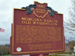
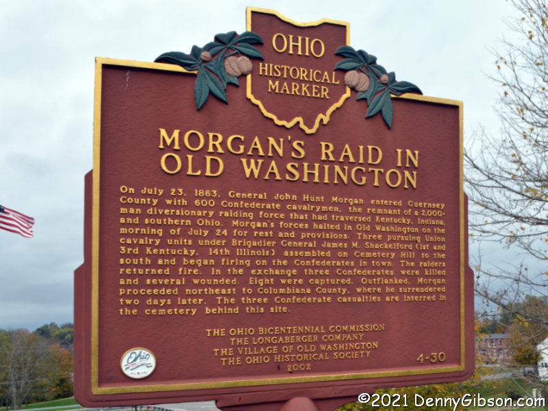
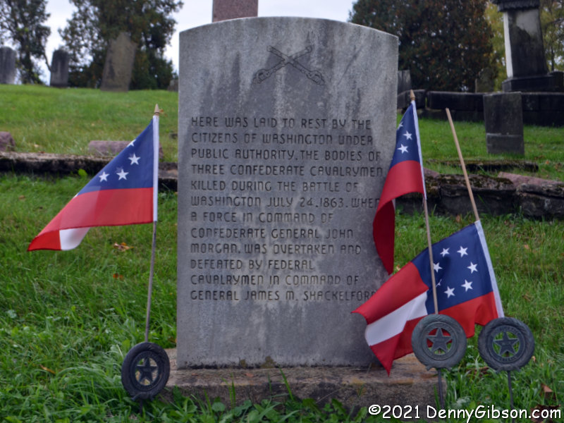
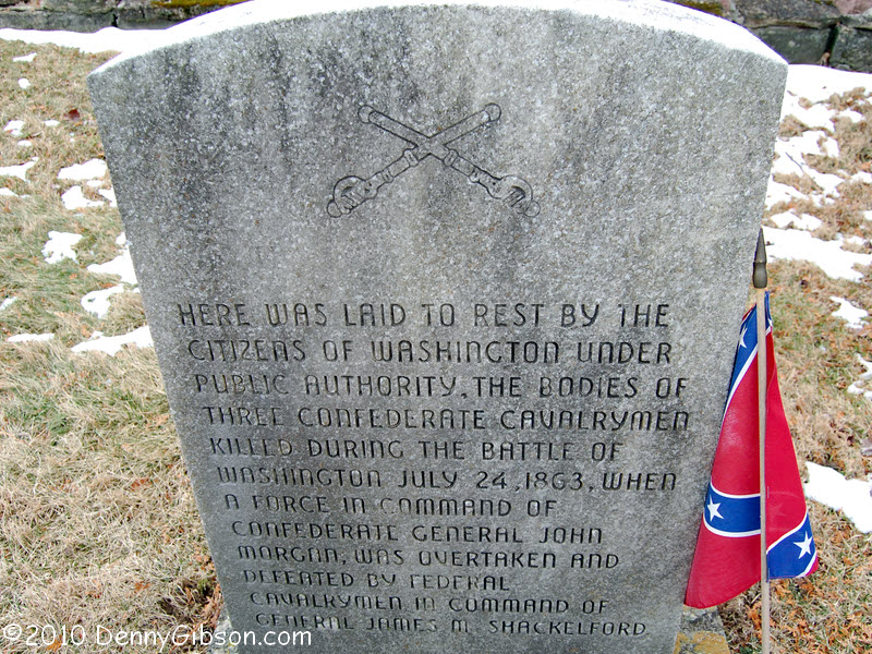
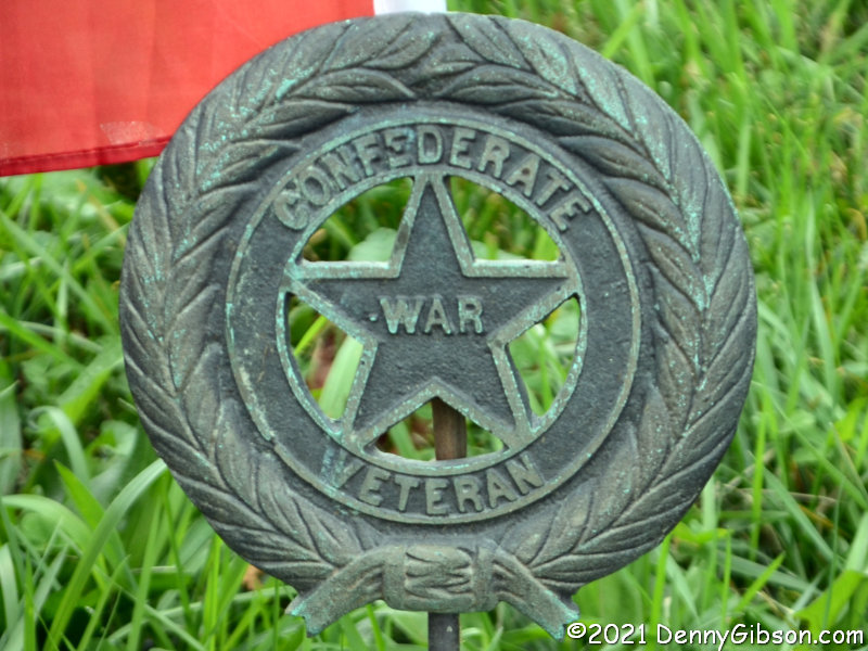
 Morgan’s men were involved in multiple skirmishes with federal troops, local militia, and even civilians. An encounter with Union forces at Old Washington left three of them dead. All three are buried in the town cemetery. In the past, these graves were marked by the X-barred Confederate Battle Flag, which has pretty much been usurped by modern white supremacists. I don’t know when the change was made. Here‘s a photo from 2010. There’s a closer look at one of those flag holders here.
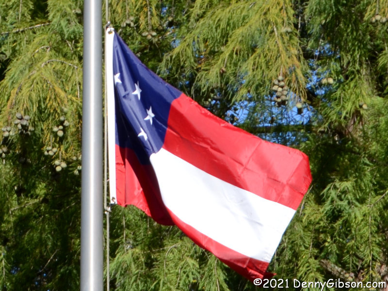
The “Stars and Bars” was replaced as the official Confederate flag on May 1, 1863. It was not the official flag during any part of Morgan’s raid although it was undoubtedly carried by most of his troops. Here‘s a picture, taken at a spot nearer the end of the trail, of the flag, known as the “Stainless Banner”, that replaced the “Stars and Bars”. Of course, it’s unlikely that all flags were replaced in just a couple of months so any official Confederate national flag flown during the raid was probably the “Stars and Bars”. However, the flags at Old Washington and at the Corydon battle site contain just seven stars. That was indeed the way things started, but by November 28, 1861, long before Morgan headed north, the count had grown to thirteen. These flags are a welcome change from the battle flag and are closer to being the national flag at the time these guys died, but they’re still not quite right.
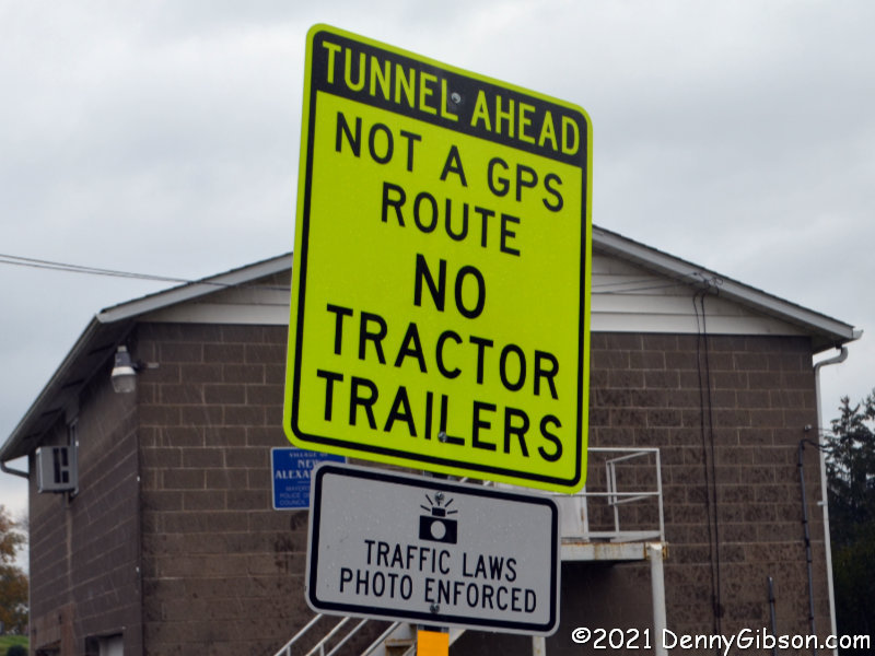
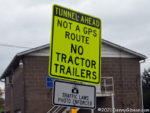 The yellow sign might mark the beginning of the most interesting road we traveled. The sign is itself rather interesting. “GPS route” is not an official designation so neither is “Not a GPS route. This and similar phrases seem to be a way of trying to tell truckers that, if their GPS is sending them down this road, it’s probably wrong. The road is quite steep and winding and neither Terry nor I got any pictures. We did get some shots at the bottom where Gould Road accompanies Long Run underneath the Wheeling & Lake Erie Railroad into Mingo Junction.
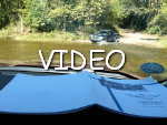
ADDENDUM Sep 3, 2022: This trip finally made me do something that I had been threatening. I bought a dashcam. Although I clearly do not have it mastered, I did get a video of this section on my second visit since our Morgan themed outing. Evidence that I’ve not mastered the camera is shown in the lack of sound and GPS and speed information but the “interesting road” can be seen here.
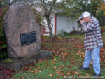
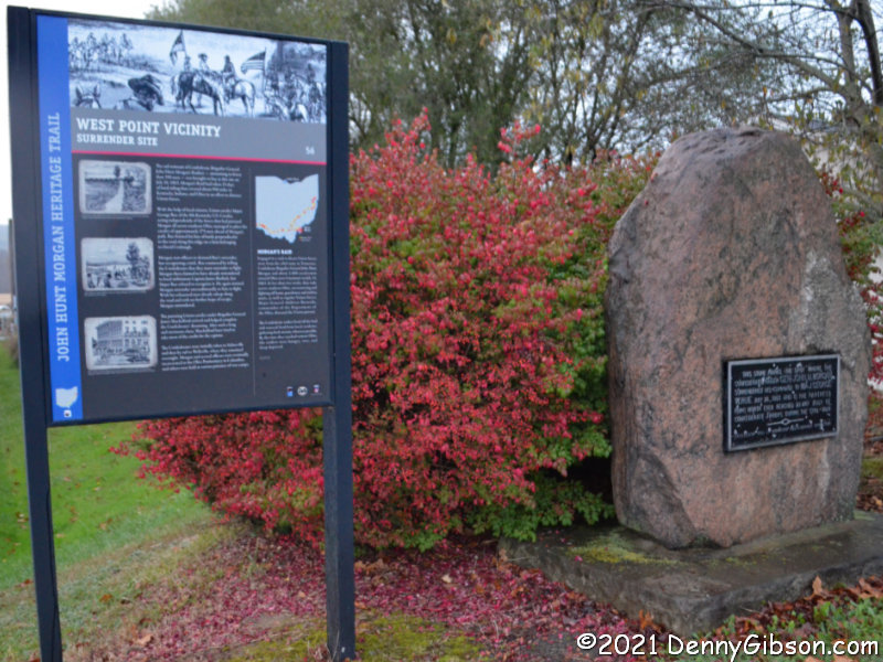
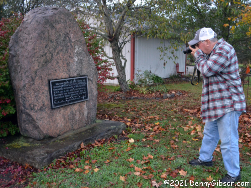
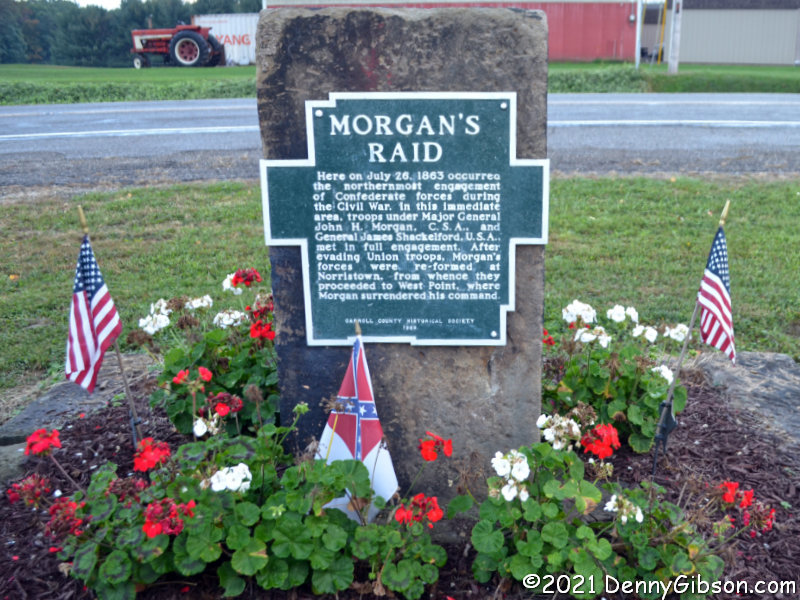
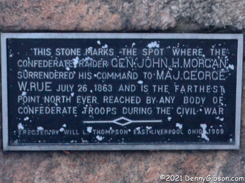
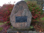 There was still a little daylight when we reached the point where Morgan and his remaining troops were captured. Terry took aim on the surrender marker and so did l. The plaque is here.
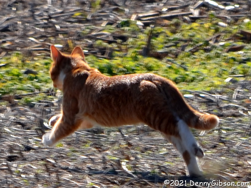
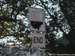 We pretty much used all the available daylight on each of the four days we spent covering the trail. The first three days had been completely dry and we even dodged much of the rain that started appearing on the afternoon of the fourth. We attributed our good luck regarding the rain to a black cat that had started to cross our path then stopped and turned around. We didn’t realize just how lucky we were until we got home. Wind and rain picked up as we drove from that “END” sign to our motel in Carrolton, but once we arrived, we temporarily lost all interest in weather. And weather wasn’t much of a factor when we drove home the next day. I was shocked when Terry called to tell me he had learned that several tornados had been sighted in Jefferson County on the day we reached the trail’s end. I was even more shocked to discover that, roughly half an hour before we took our surrender marker photos, a tornado had damaged twenty-three homes, a church, and a business about twenty-five miles away in Wintersville. Apparently, that cat turned around just in time.
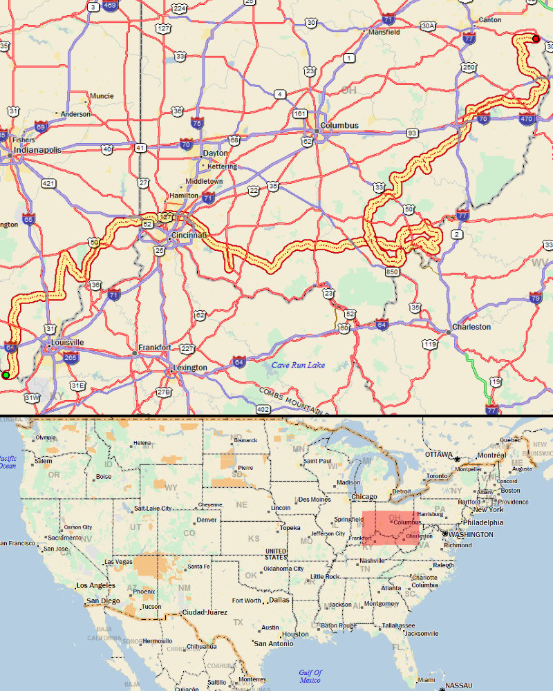
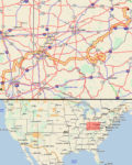 ADDENDUM 26-Oct-2021: Even though this outing was not documented with daily posts in this site’s journal section, much of the mechanics behind it were pretty much the same as trips documented there. That includes the routing and tracking that allow locator maps to be made. So, I’m adding a locator map because I can.

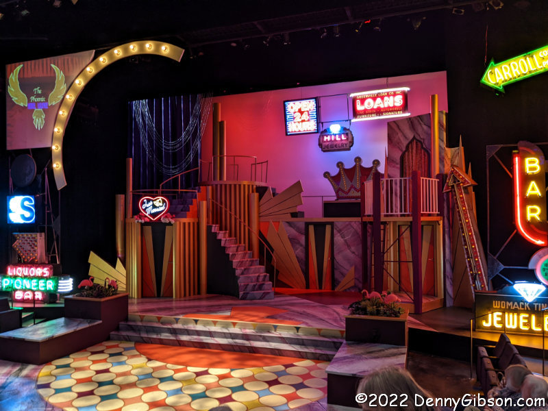
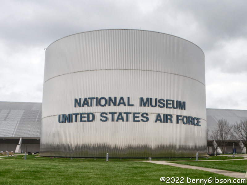
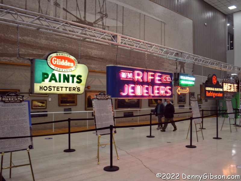
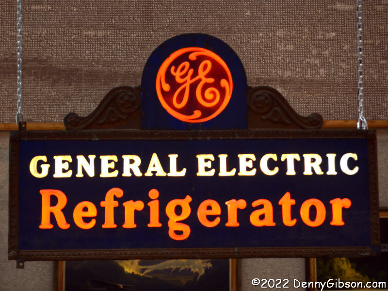
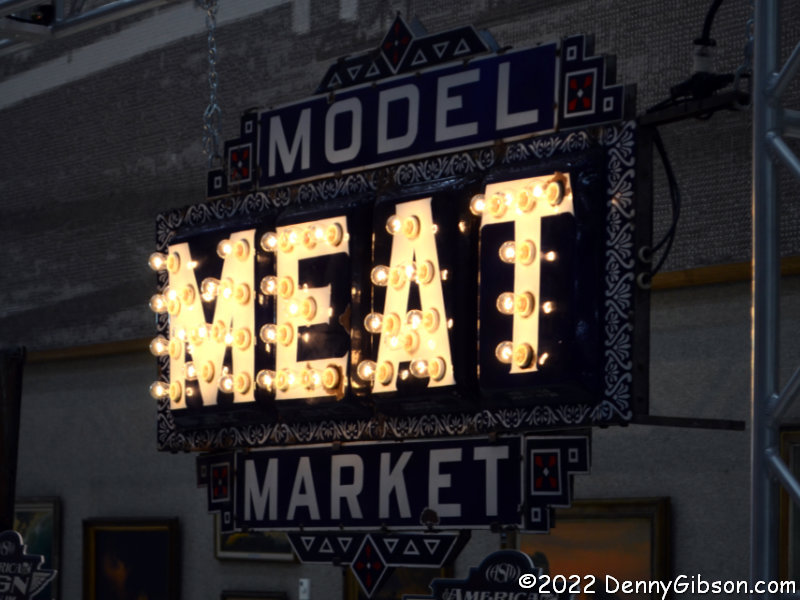
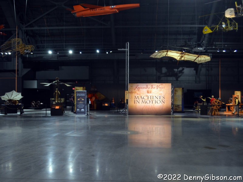
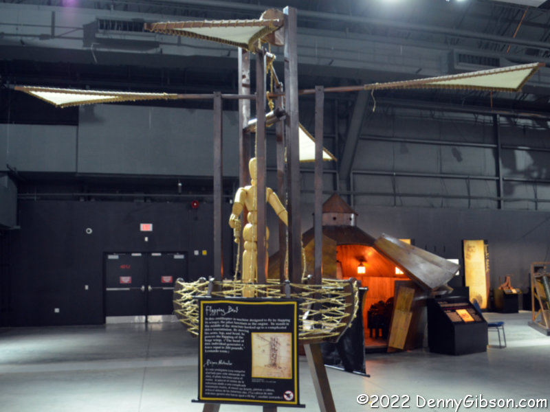
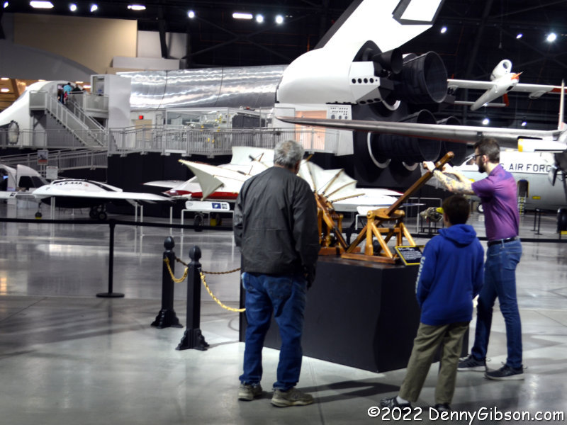
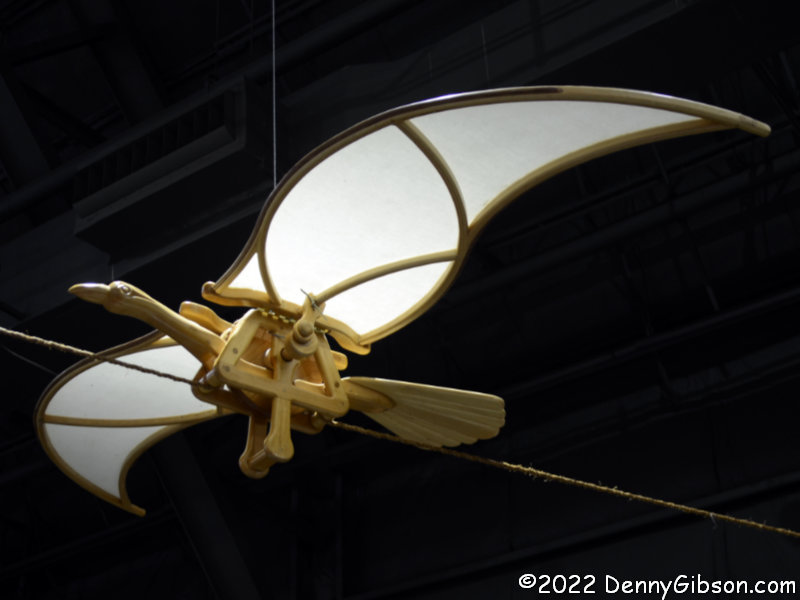
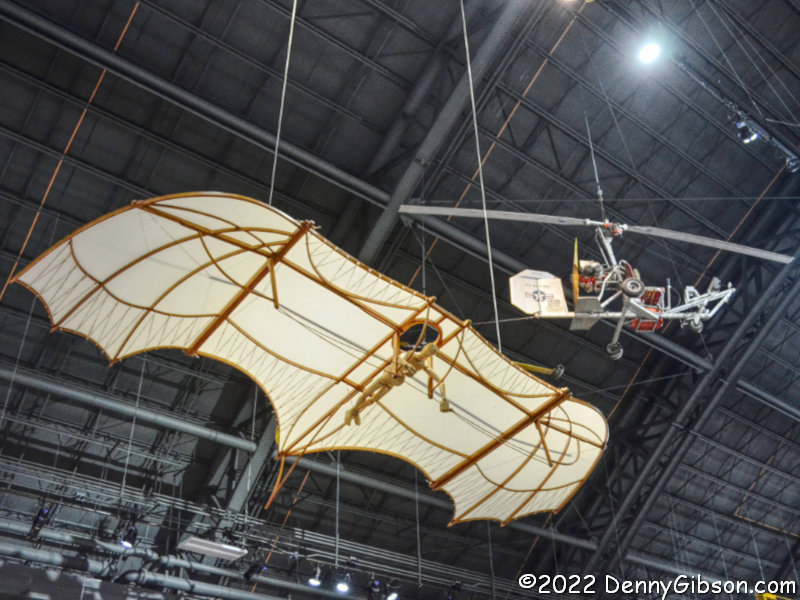
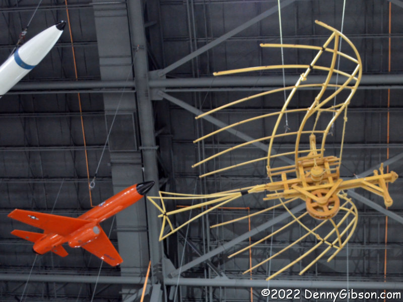
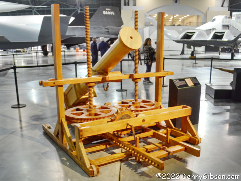
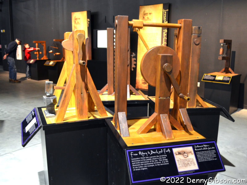
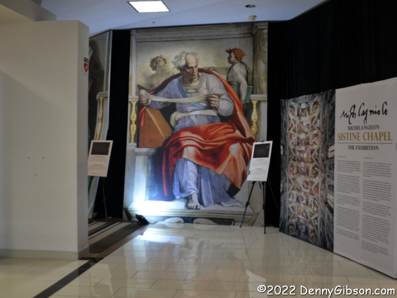
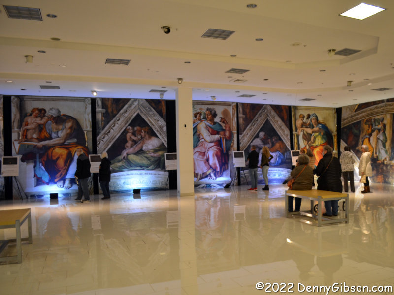
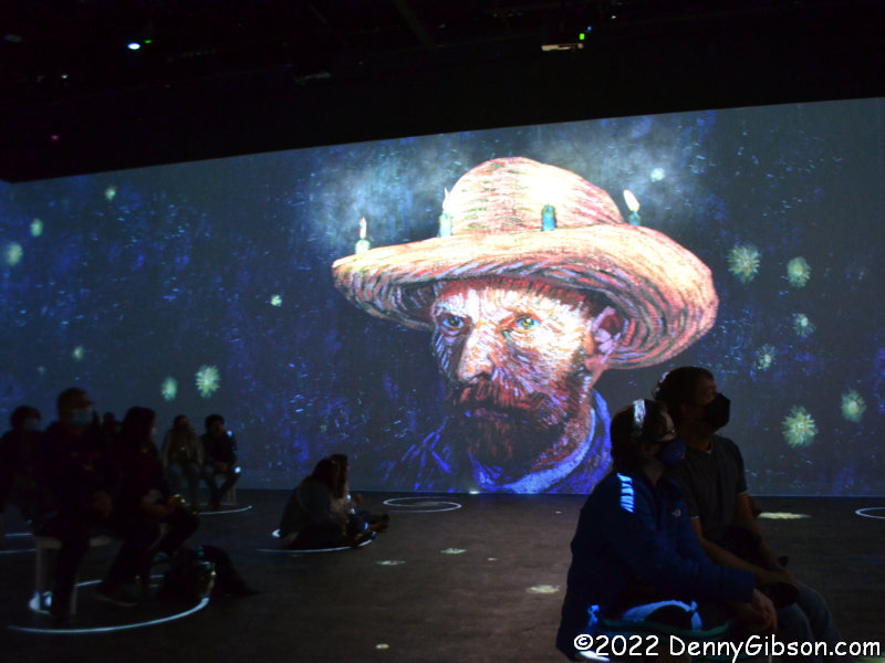
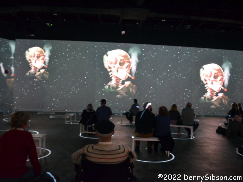
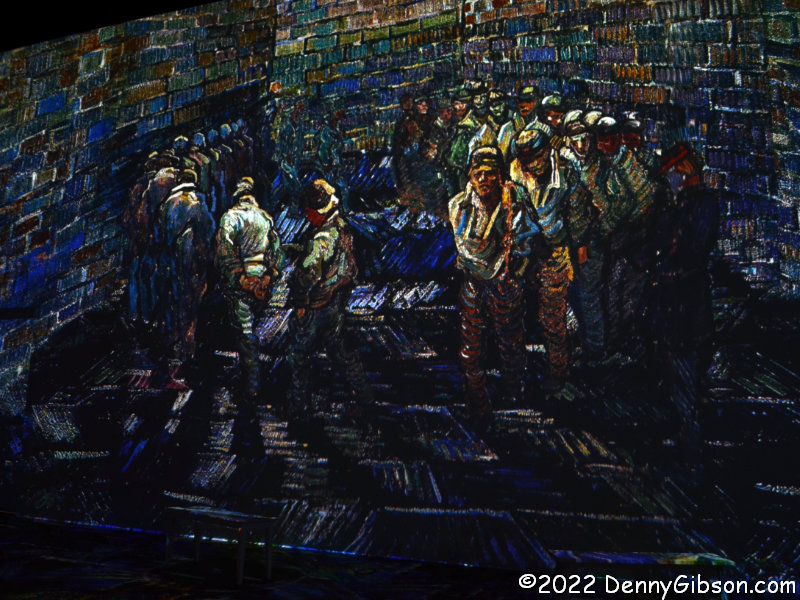
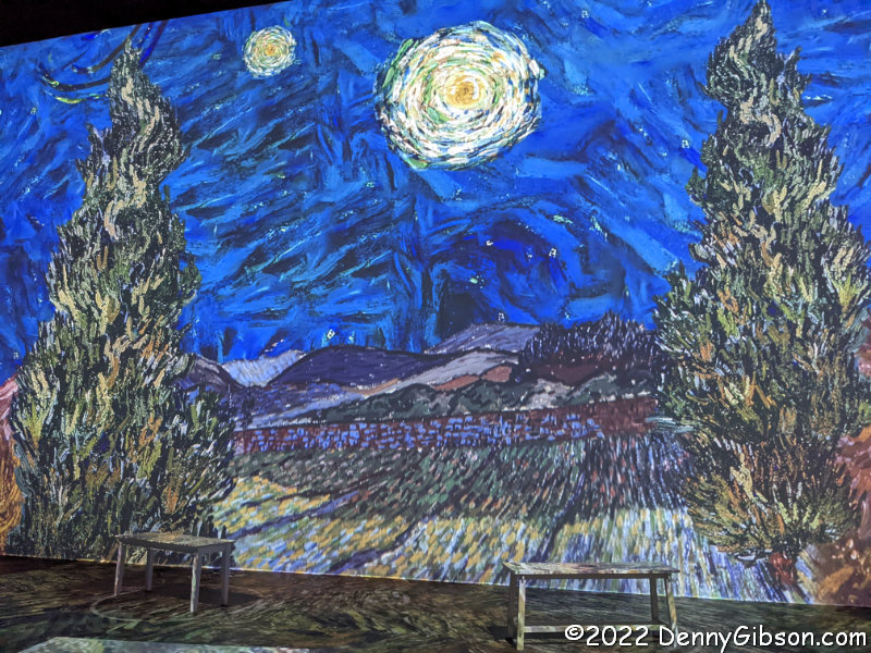
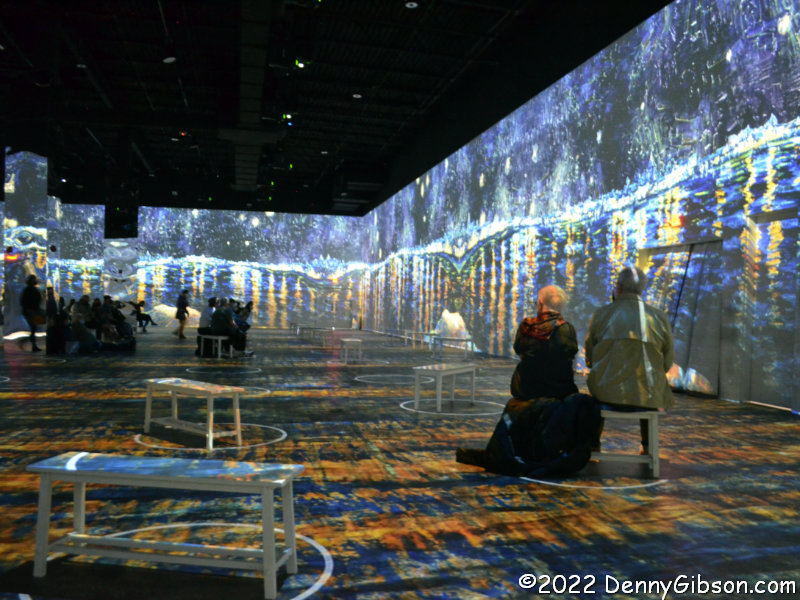
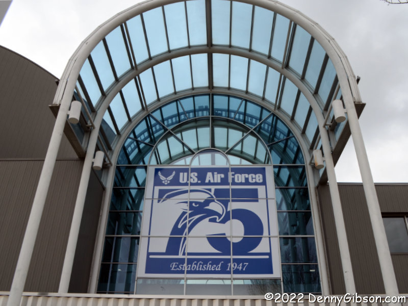 My birthday has been the subject of a couple of recent blog posts so you might already be aware that the United States Air Force and I were established the very same year. I have about five months seniority on the Air Force and am all done celebrating. The museum, however, intends to talk up the big anniversary throughout the year. “The Signmaker’s Journey” will be there through October 10.


