
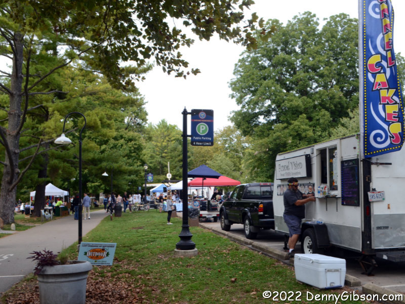
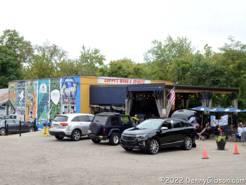
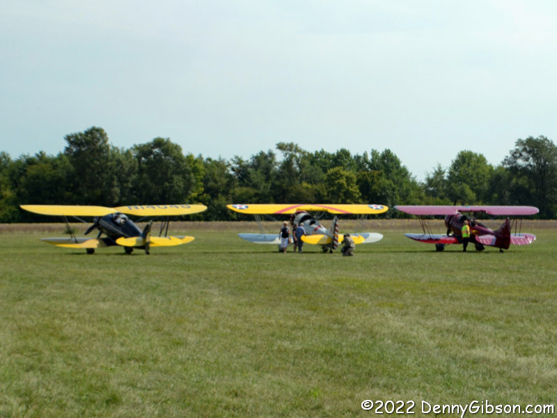
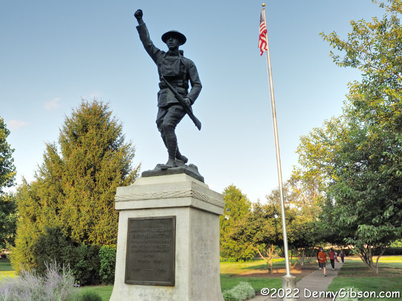
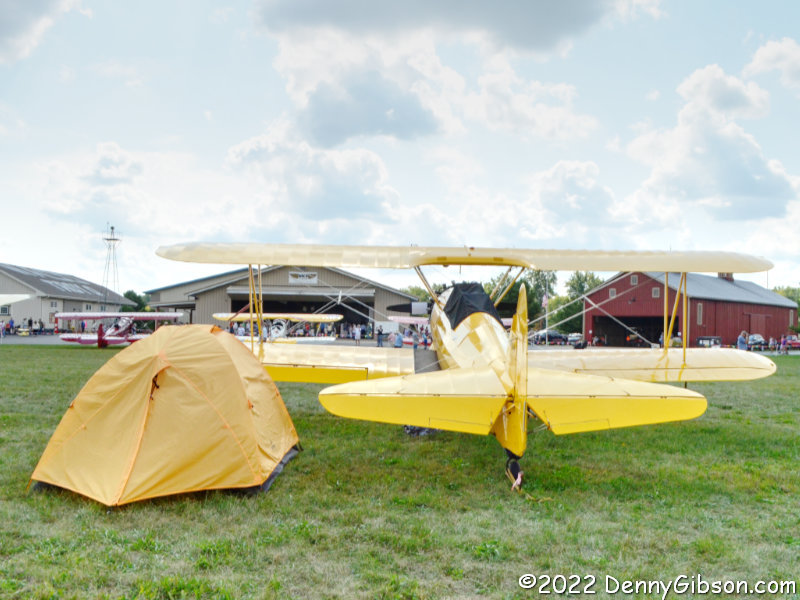
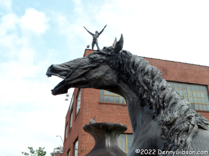
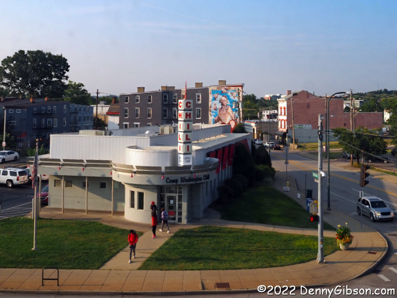
 After a several-year absence, I made it to the 47th Annual Oktoberfest Zinzinnati last month and a week later attended the 2nd Annual Loveland Oktoberfest. I was a little surprised to learn that Loveland had an Oktoberfest but even more surprised to learn that Lebanon was having one this year and had done it eight times before. Not long after putting the 9th Annual Lebanon Oktoberfest on my calendar, I learned that although Hamilton does not, as far as I know, hold an Oktoberfest, it would be having its 11th Annual Operation Pumpkin on the same weekend as Lebanon’s Oktoberfest. Yeah, I went to that too,
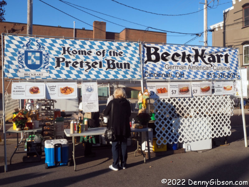
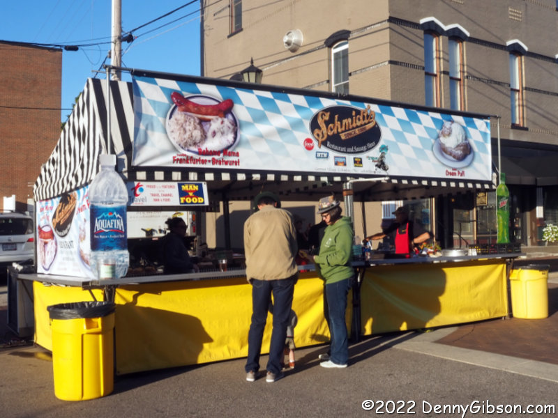
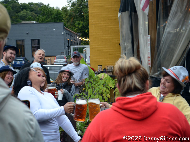
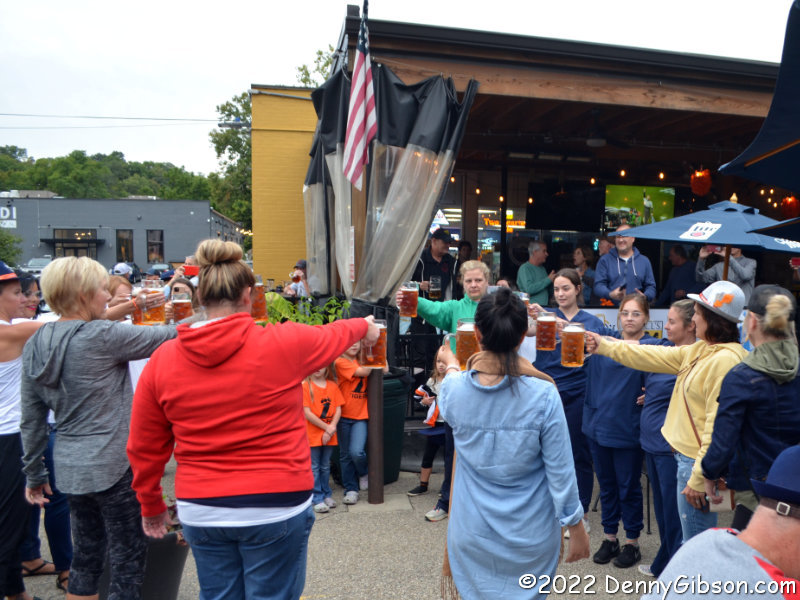
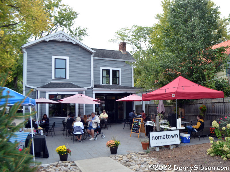
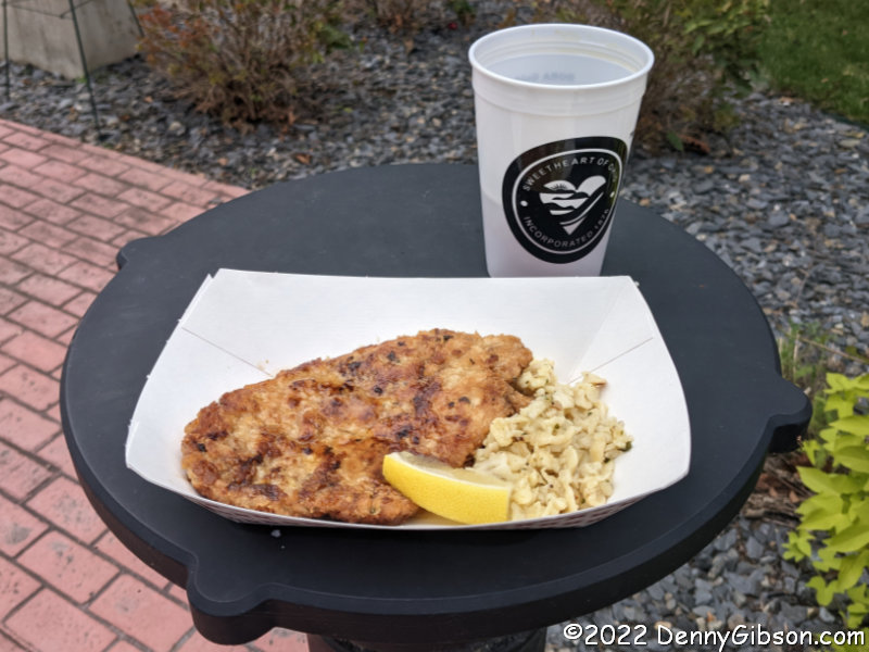
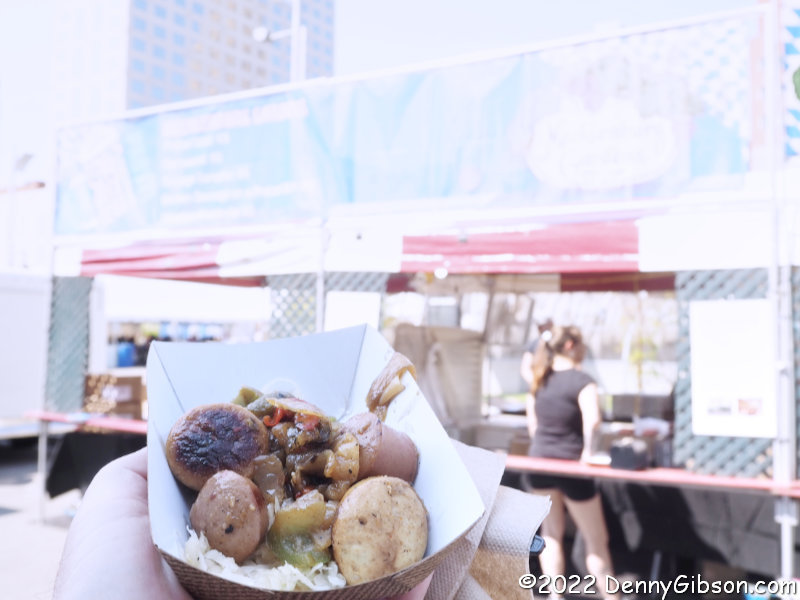
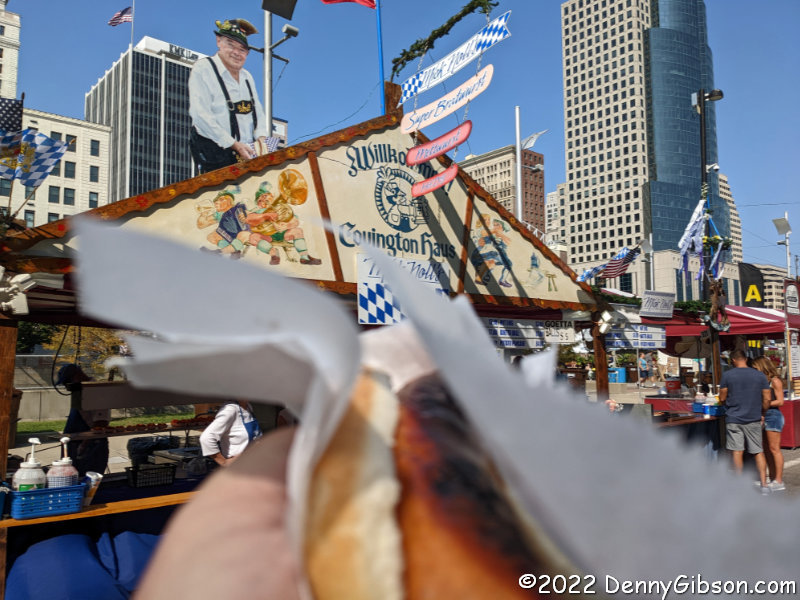
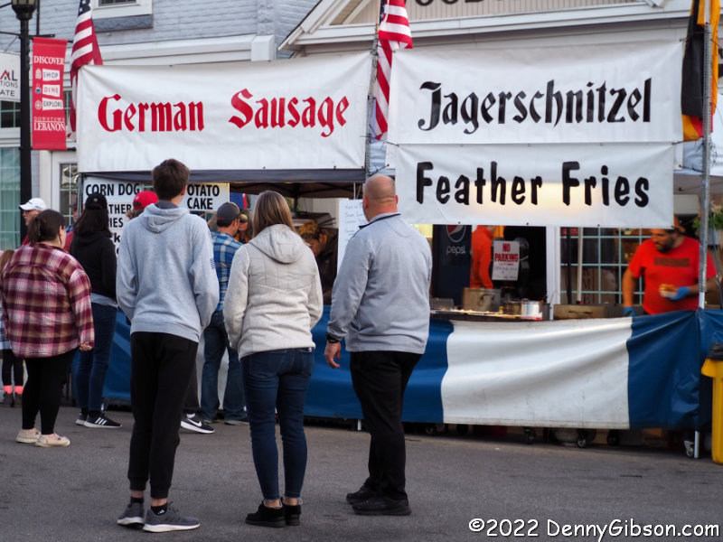 As I had with the two other Oktoberfests, I targeted opening time on Friday to avoid the expected larger weekend crowds. There was, of course, a selection of sausages available and I did down a large mettwurst. I had my eye on a Schmidt’s cream puff for dessert but the mett — and two beers — left no room.
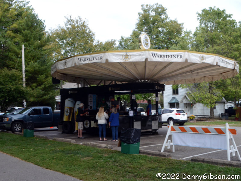
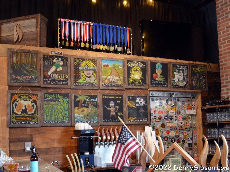
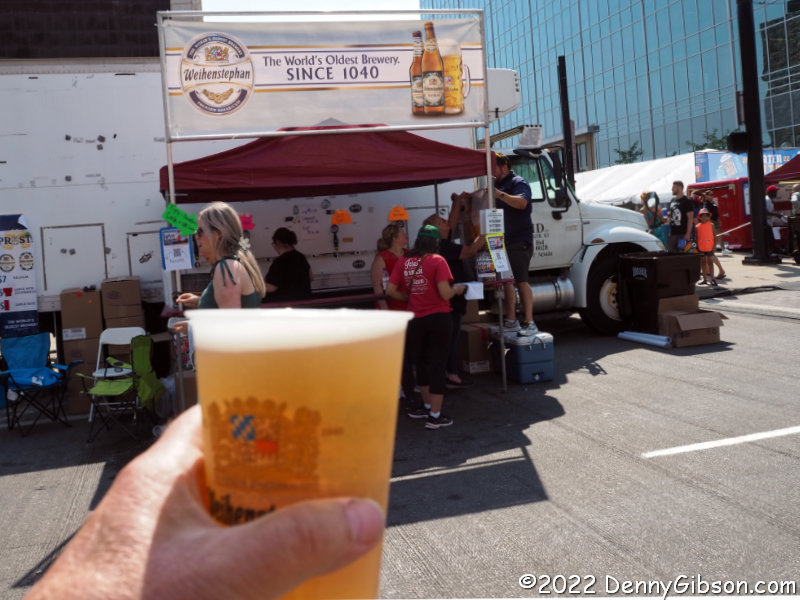
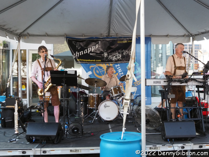
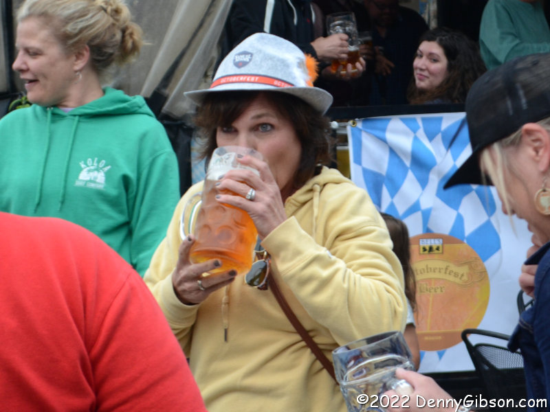
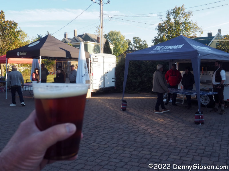 Three local breweries, Common, Sonder, and Cartridge, shared a tent and all three offered a fest beer. Cartridge’s fest beer was the only one of the three I had not tried before so that was one of my choices. The other beer I had was from Common. It’s the one pictured. Imported beer was available from a tent operated by Warsteiner. Warped Wing had a tent selling their craft root beer.
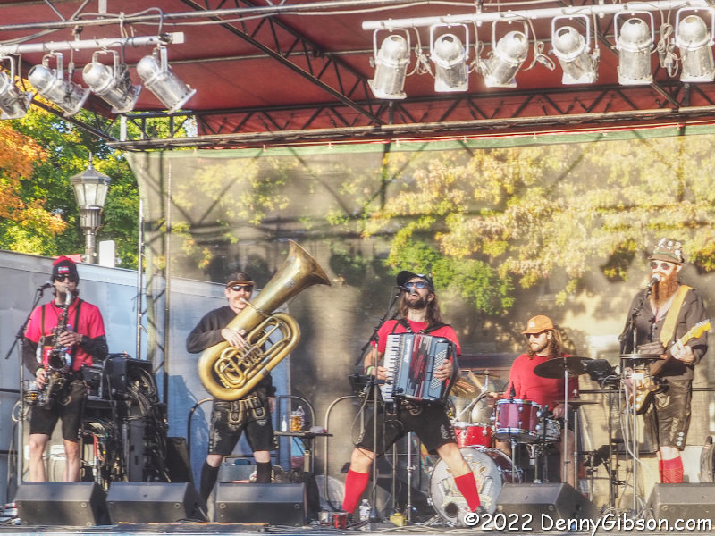
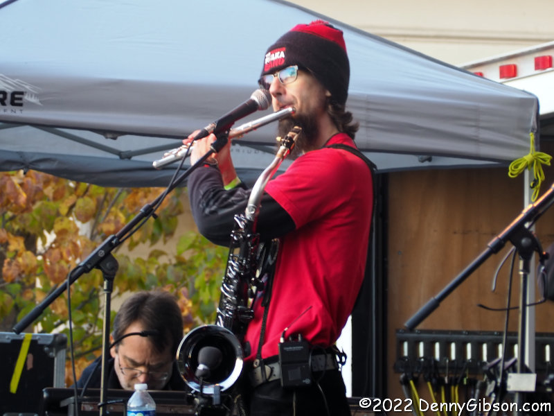
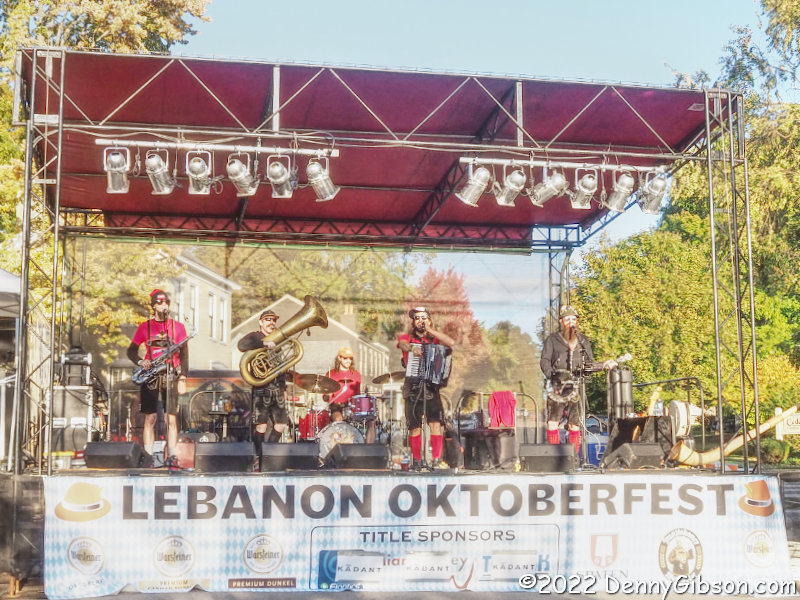
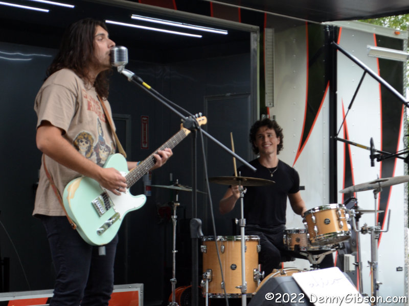
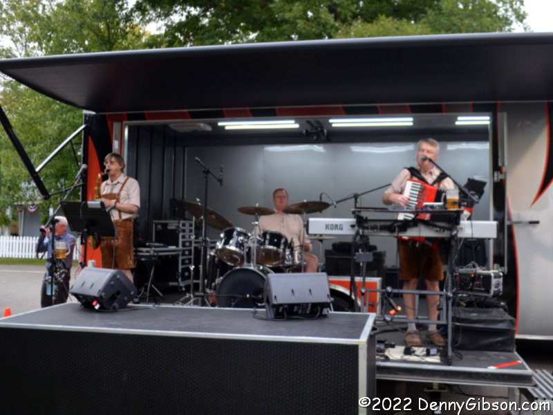
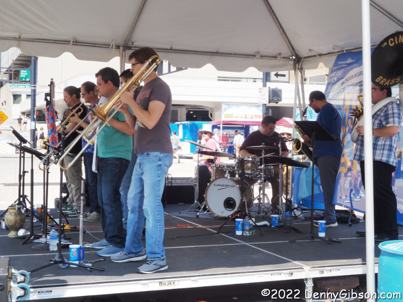
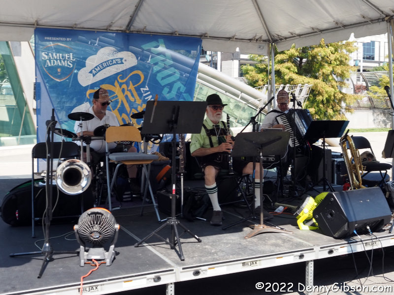
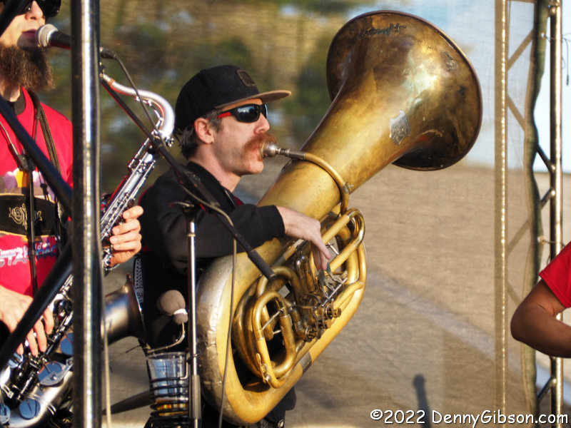
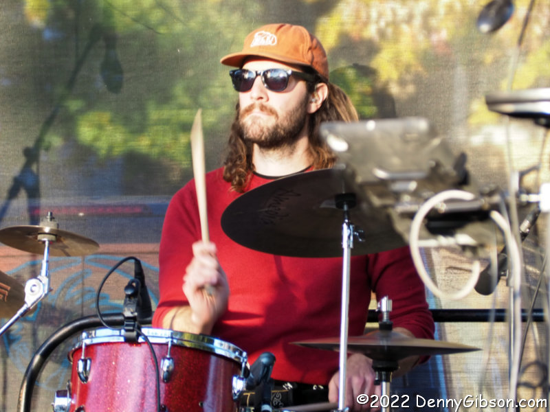
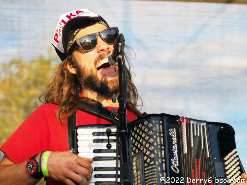
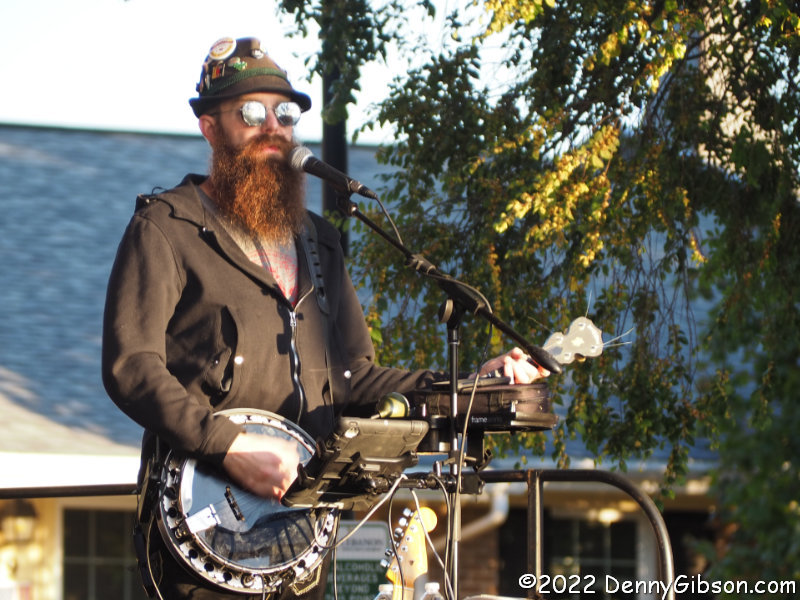 Of course, they have one of these and one of these and this too, but it is the flute and banjo that allows The Chardon Polka Band to achieve that complete polka sound that eludes so many. These guys are good — and versatile.
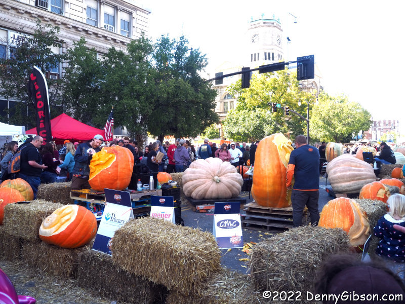
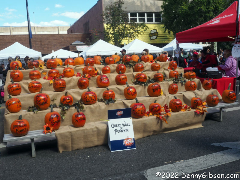 Hamilton’s Operation Pumpkin is considerably larger than the Loveland and Lebanon affairs. I’m guessing that’s partly due to Hamilton being much larger than the other two cities and partly due to differences in the festivals. The pumpkin party is more family oriented. In fact, some of the descriptions I read made it sound so kid friendly that I thought it might not be worth going to for an old man. That was definitely not the case.
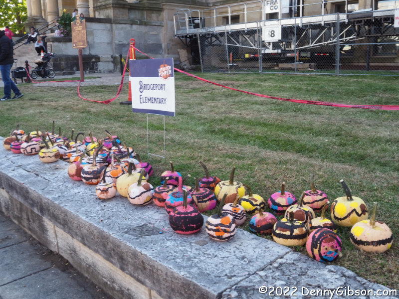
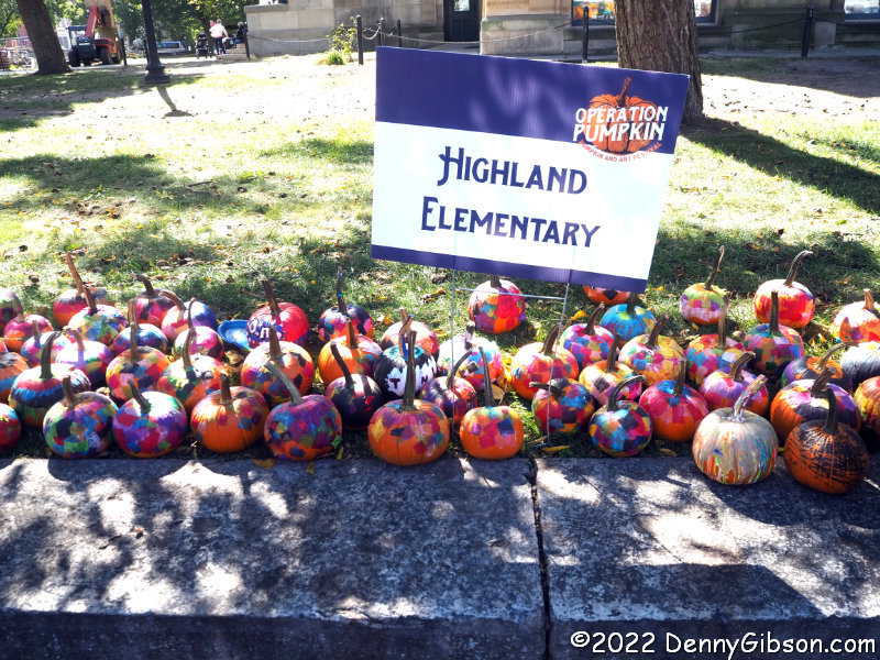
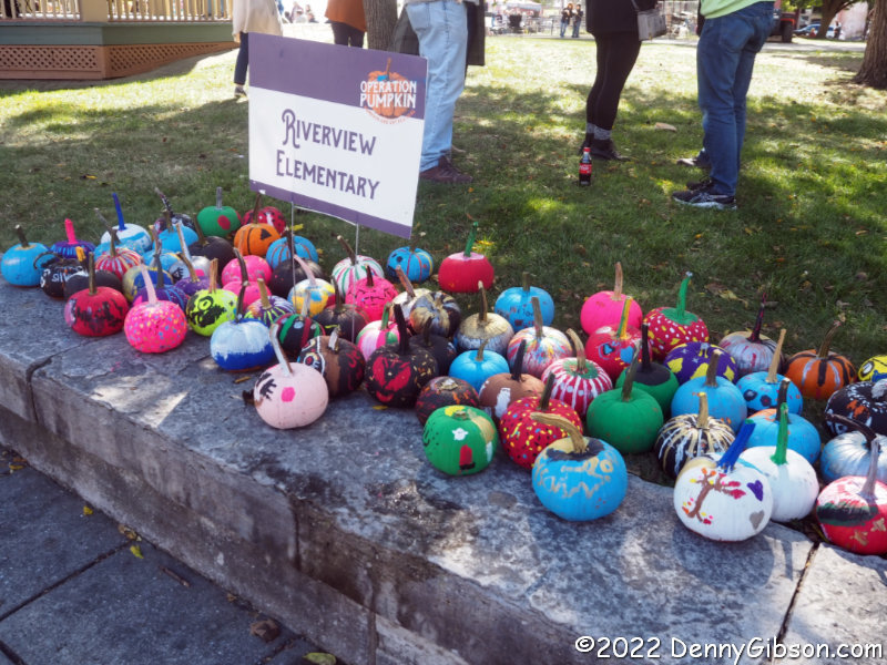 There is an area of carnival-style rides and a couple of play areas. Local elementary school students participate by safely decorating pumpkins without carving.
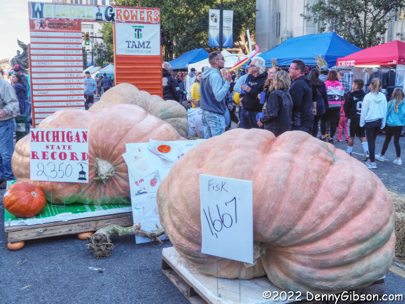
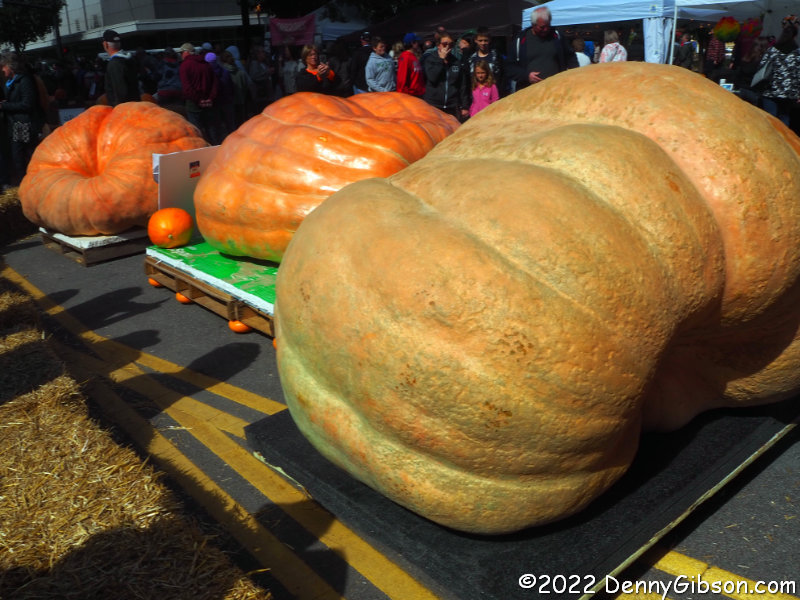 Some displayed pumpkins are not decorated in any way whatsoever. They attract people with their sheer size. Pumpkins over a ton in weight are quite capable of doing that.
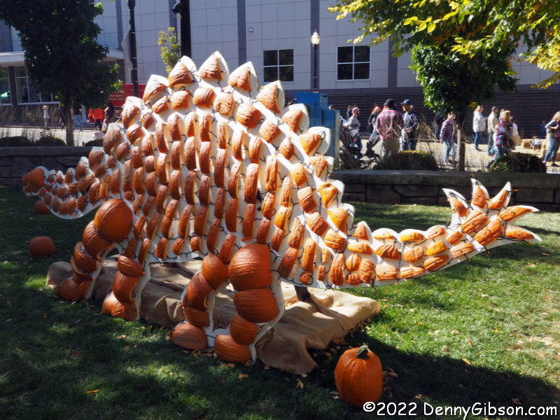
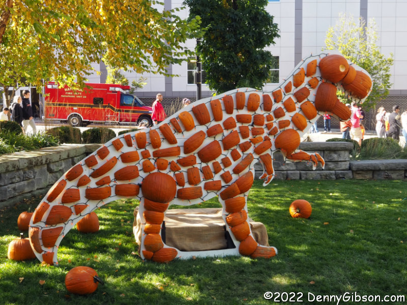
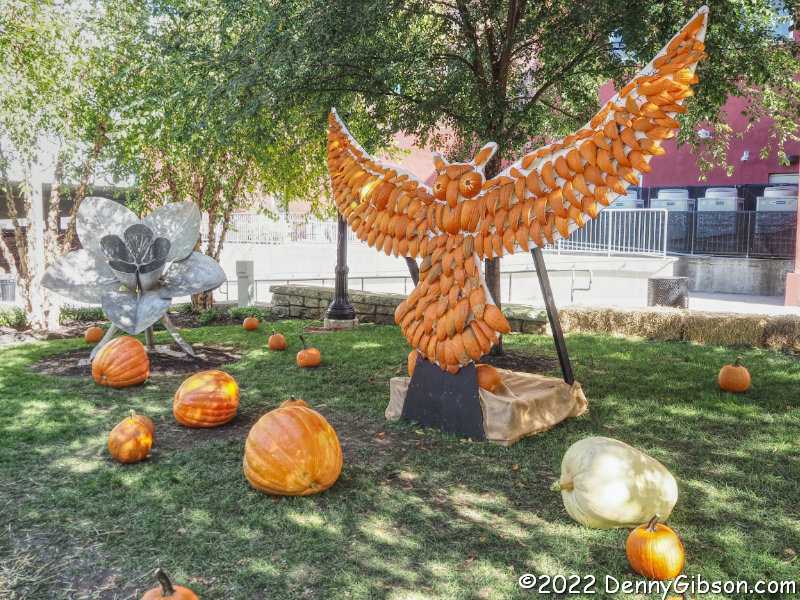 Other pumpkins are not carved in the traditional sense but are carved up and the pieces used in other large works of art.
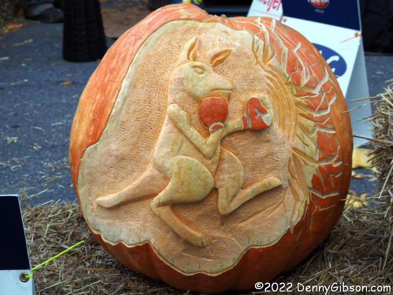
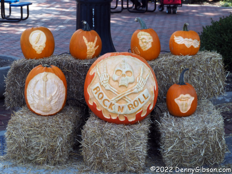
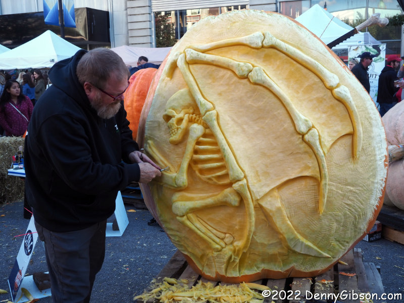
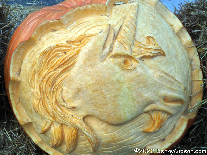 But it is pumpkin carving that is at the heart of the festival. Previously carved pumpkins are on display throughout.
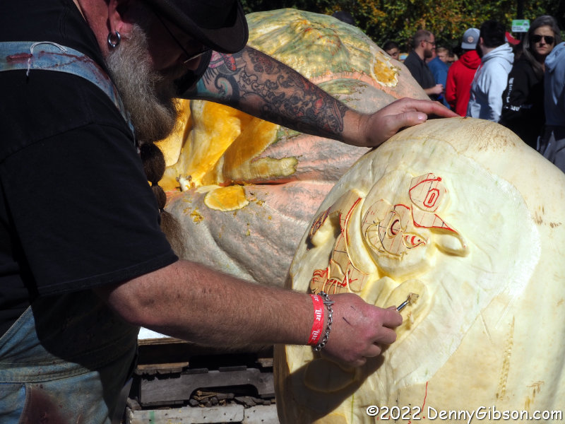
 And others are turned into fleeting works of art while we watch.
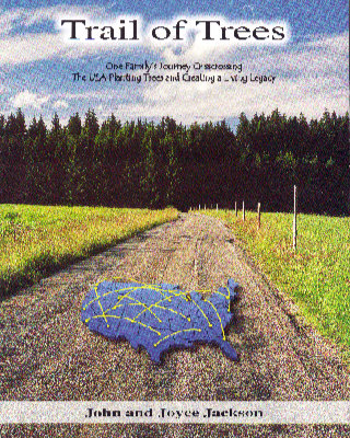
 This makes two consecutive book reviews that are seriously belated and that’s hardly their only connection. I wasn’t even aware of either the book or its author when I arrived at the 2022 Lincoln Highway Association conference but, John Jackson, co-author of


