
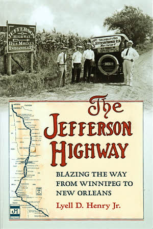
 In its preface, Lyell D. Henry Jr. suggests that this book is something of a compromise. The reason is that he once set out to write about every detail of the Jefferson Highway and the association behind it. That’s a lot of details and, especially with no known central source for records or maps, a formidable task. Henry says he “…settled on writing a book that would open with a general accounting of JHA’s early pursuit of the entire highway but then narrow its focus to the highway through Iowa.” The Jefferson Highway: Blazing the Way from Winnipeg to New Orleans is indeed a book of two parts. The first four chapters cover the history of the organization responsible for the entire highway; The last three tell the story and describe the route of the road in Iowa. The scale may be less and the focus may be narrower than what Henry once had in mind but, within that narrowed focus, there is certainly no detectable compromising of accuracy or completeness.
The Jefferson Highway was one of the more significant named auto trails of the early twentieth century. The association promoting it was created in November of 1915 and the highway, like all named auto trails, effectively ceased to be when the Numbered US Highways were established in November of 1926. A modern day Jefferson Highway Association formed in 2011.
The featured players in those first four chapters are men at the top of the Jefferson Highway Association. Men like its founder, Edwin T. Meredith, its first General Manager, James D. Clarkson, and a few others. Likewise, the routeing discussions and decisions presented are those affecting the basic overall course of the highway. Particularly with this being the first book written on the Jefferson Highway in many decades, I thought this a sensible approach. Other leaders and other decisions certainly played important roles in specific states or regions and many that affected Iowa are discussed in the last three chapters. Henry writes that he hopes others will undertake similar projects for the other seven Jefferson Highway states in the near future. When they do, the first four chapters of this book could serve as a foundation. As someone without much knowledge of this highway’s history, I saw them as a sort of JH primer.
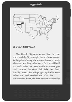
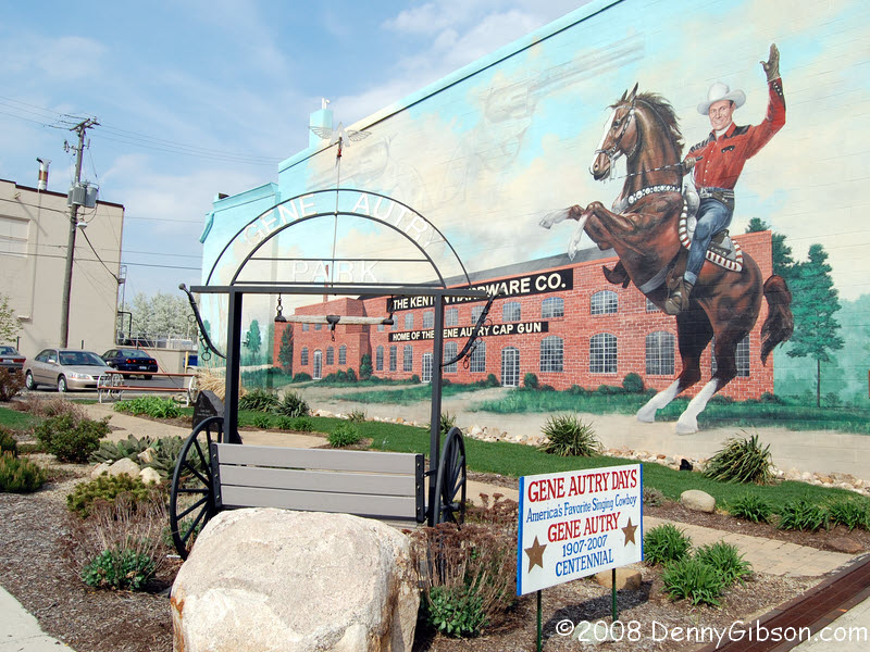
The second portion of the book is organized as a north to south driving tour with tales of the various routeings and the points of interest beside them woven into the driving directions. There is no denying that one reason Henry writes about Iowa is that it is his home but it is a very reasonable choice for other reasons as well. JHA founder Edwin T. Meredith was an Iowan and the crossing of the Jefferson and Lincoln Highways at Colo, Iowa, gave the state as good a claim as any to being the “Crossroads of America”.
I’ll readily confess that few of the mileage measurements or specific turning instructions really registered with me as I read those last three chapters but I know they will be invaluable when I someday set out to drive the Jefferson Highway. That doesn’t mean those chapters were boring or should be skipped. Descriptions of the many small towns along the way are certainly interesting and Henry provides quite a bit of road and roadside history, too. An example that I particularly enjoyed was learning, for the first time despite driving through it a few times on the Lincoln, just how Iowa’s “Crossroads of America” escaped becoming the “Cloverleaf of America”.
The book is well illustrated with black and white photographs and drawings. Some of the photos are historic but many, particularly in the three “road tour” chapters are quite recent. A majority of these, though far from all, were taken by current JHA treasurer, Scott Berka.
There were hundreds of named auto trails when numbered highway made them all obsolete. Some were little more than a line on a map and some were outright scams. Without question, the JHA was one of what the outfit responsible for those numbers, the American Association of State Highway Officials, called “reputable trail associations”. It’s good to see it getting some twenty-first century literary attention.
Available through Amazon.
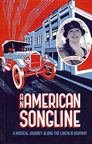 Cece’s a singer… and a traveler and now a writer. Cece (I know the book cover says Cecelia but few actually call her that.) has been singing since childhood. As an adult, she has spent a goodly amount of time singing professionally as a classically trained mezzo-contralto and there was travel, both in and out of the US, involved. Then, just as the career should have been accelerating, a stumbling economy resulted in it instead being sort of paused. Cece used the time to attend workshops and other activities to help in focusing her future. One workshop involved identifying, in a short amount of time, “…five projects you see yourself doing…” and one item on her hurriedly produced list was “singing travelogue”. No one, including Cece, was quite sure what that meant but it sounded intriguing and, before long, she was on her way to defining a real world project that included a coast-to-coast concert tour, a CD, and this book.

 Sometimes hordes of fans demand an e-book version of a publication which prompts the publisher to pull out all the stops and produce one immediately. Sometimes one or two people casually ask about an e-book version and probably forget about it by the time one appears a year or so later. One of these sentences describes my situation perfectly.
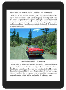 Other than correcting a couple of spelling errors, absolutely no text was changed in generating the e-book. The same pictures are in the e-book as in the paperback with essentially the same dimensions. I did utilize color versions so they ought to look a little prettier on some devices. To make things reflowable, I unhooked the pictures and their captions from fixed positions on the pages and placed them between paragraphs. If you think of the sizing and positioning of a book’s non-text elements within the text as design, then what I did was undesign the book. To be honest, there wasn’t very much “design” in it. I placed pictures where I thought they looked good and I chose sizes to spotlight those I particularly liked or to allow some to be grouped together. Design is too kind a word. At best what I did was layout. I arranged some block images so that they looked alright, appeared near any text that referenced them, and didn’t disrupt that text too much. But other books truly are designed and their designers agonize over scaling and placing elements so that a page — a physical page with fixed dimensions — looks good and works well. That sort of design is no better accommodated in the e-reader world than my clunky picture layouts.

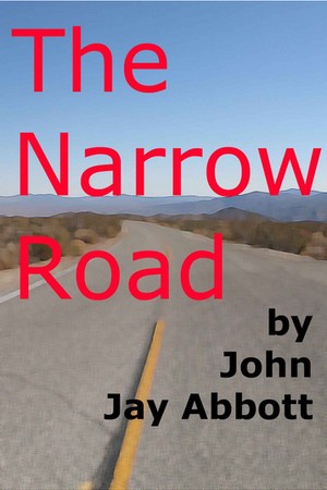 This book could be called a near opposite of the one in my most recent review. That one contained lots of information and was well researched but not so well written. The Narrow Road: An Adventure on the Lincoln Highway tells me little that’s new and involved almost no research but is fairly well written. Yes, I do have variety in my reading.