
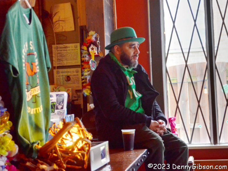
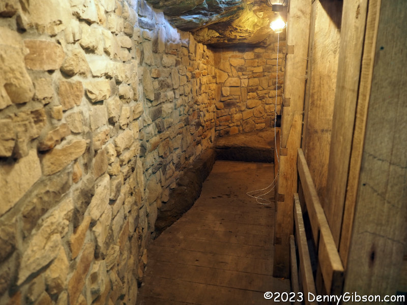
 I am not a cat person but I am a museum person. I suppose those two facts have been quietly duking it out in my head since I first heard of the Lucky Cat Museum several years ago. The museum is in Cincinnati and it is unusual which are both strong come-ons for me but it had no regular hours. Visiting it was by appointment only which, combined with that “not a cat person” thing, kept me away. I am not at all an ailurophobe but my interest in seeing a collection of things is not at its highest when those things are cats. A recent Citybeat article brought it back to my attention and an online sign-up system for visits solved the appointment issue. I finally paid a visit to all the lucky cats and their keeper, Micha Robertson, and I am so glad I did.
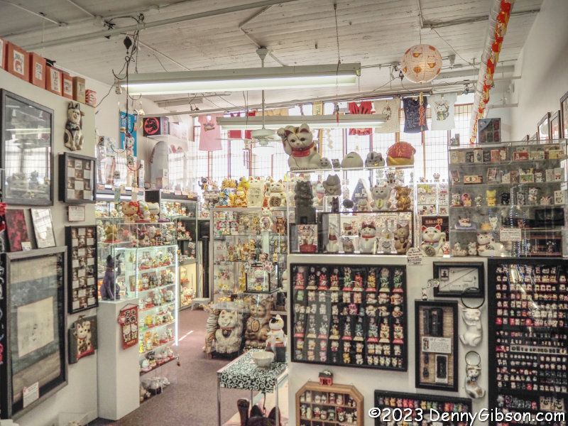
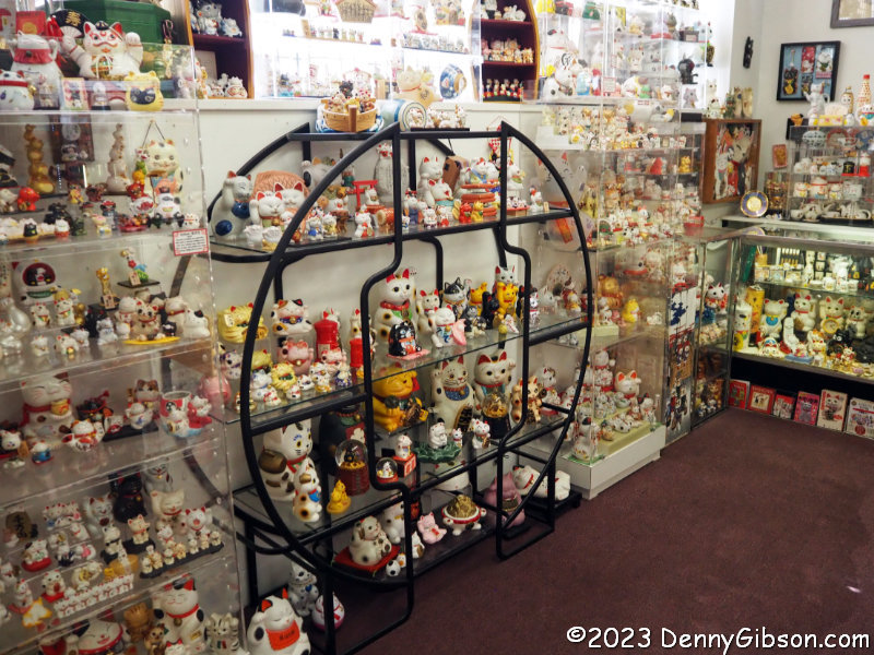
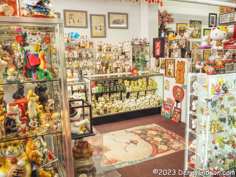 Before arriving at the museum, I read several online descriptions. The earliest talk of “over 700” cats. Some that are a bit more recent say “at least 1000”. The latest guess I found was from 2019 and that guess was “over 2000”. It doesn’t take much time inside the museum to realize just how ridiculously safe that estimate is. As with many large collections, there is a point following the initial exposure when you are struck by the sheer size of the display or the number of items it contains. That certainly happened with me and the Lucky Cat Museum. Not surprisingly, that is something I failed to capture with the camera but maybe these three photos will provide some sense of just how many items are on display.
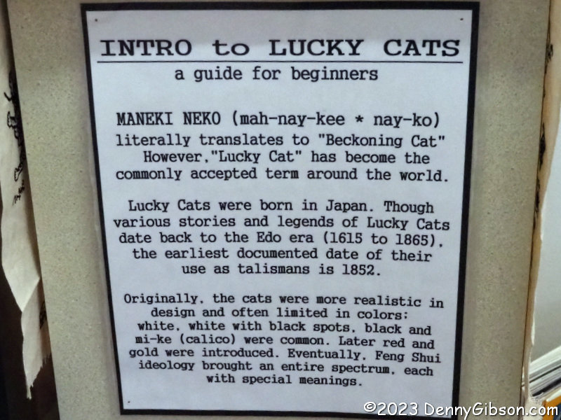
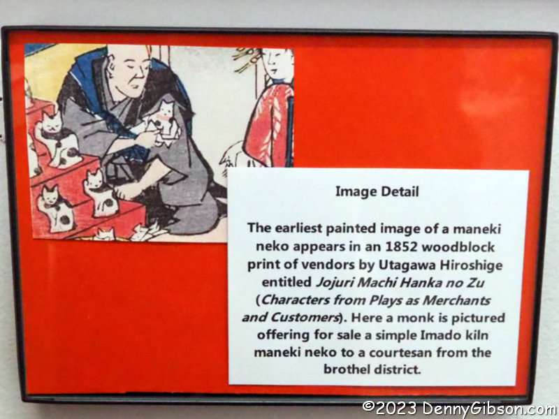 I’m always reluctant to call a number on a locked museum door or dive into “by appointment” arrangements partly because I’m uncomfortable having someone make any effort for the benefit of just one person. The online system for the Lucky Cat Museum allows just six participants in each tour and shows how many openings are in each slot. I had picked a slot with just two or three openings to avoid being the only person taking up Robertson’s time but it didn’t work out that way. All the others cancelled so I had the benefit of a one-on-one tour without any feelings of guilt. The tour began with some background information. Lucky Cats are more properly known as Beckoning Cats or Maneki Neko in Japanese. They have probably been around since the 1600s but first appeared in print in 1852.
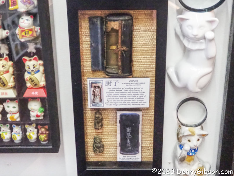
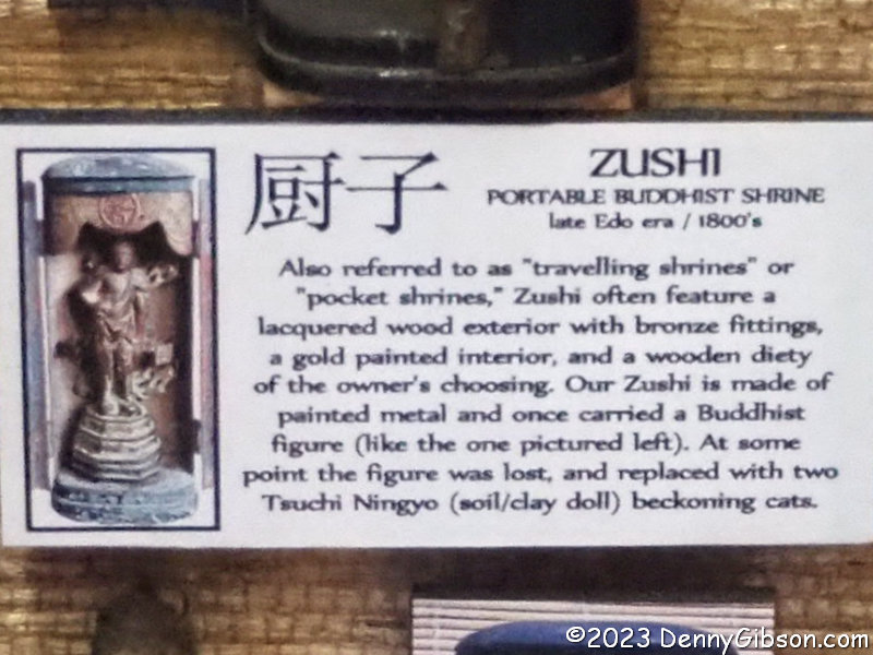
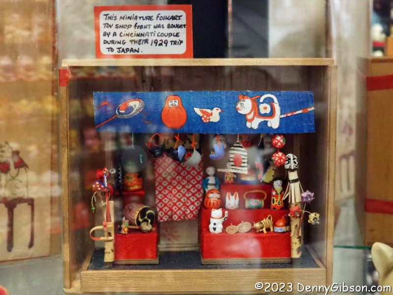 My attention was then directed to some of the “…est” items in the museum. The oldest is a long ago repurposed zushi from the 1800s. The smallest is the tiny kitten on a wire. The miniature toy shop is neither the oldest nor the smallest (although the tiny maneki neko it contains is pretty darned small) but it is probably the one most at home in a Cincinnati setting. It was purchased in 1929 by Cincinnatians visiting Japan.
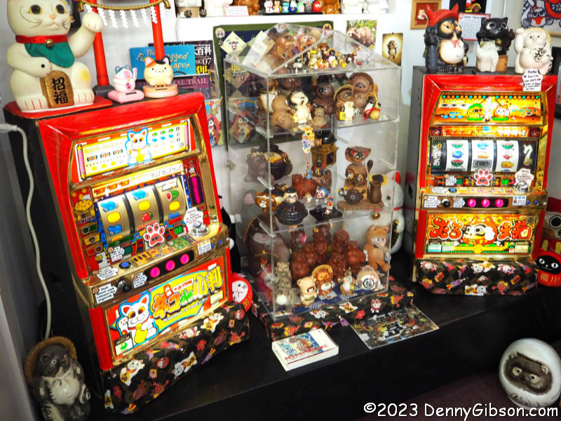
 There are naturally plenty of “Don’t Touch” signs among the many rare and fragile items on display but there are several hands-on items as well. One is a coin-operated cat that meows (we think) in Japanese and says some other things too. The slot machines have been converted from coins to tokens as required after being retired from Japanese casinos.
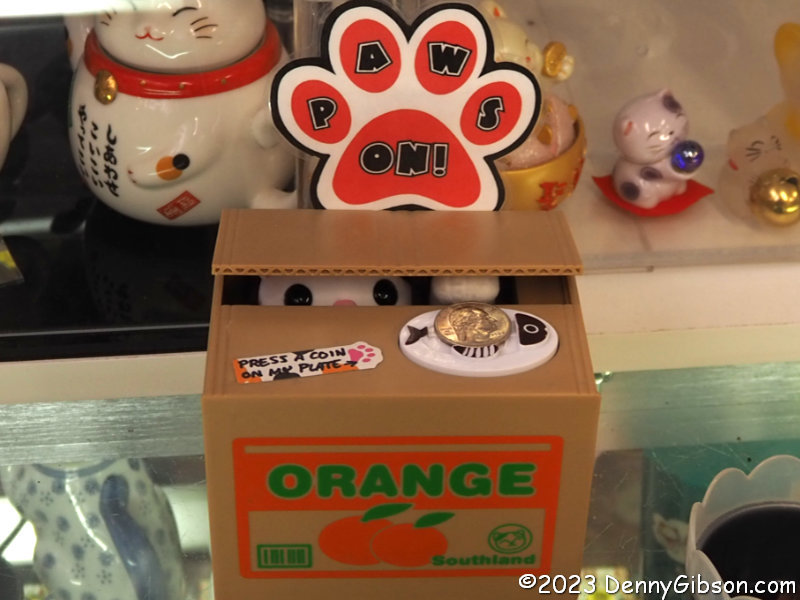
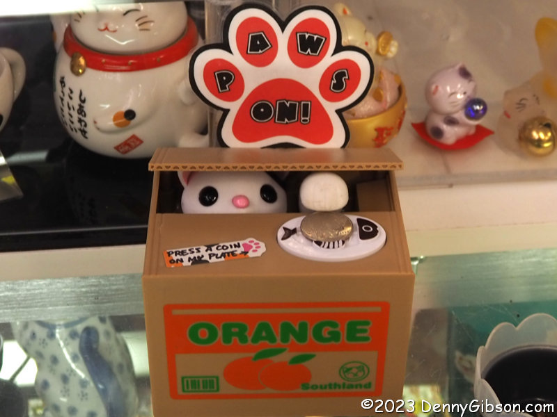
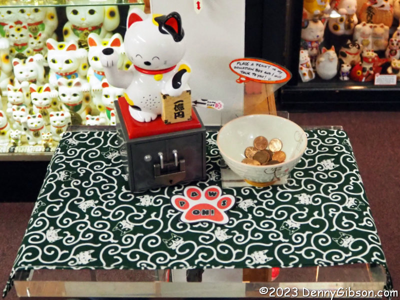
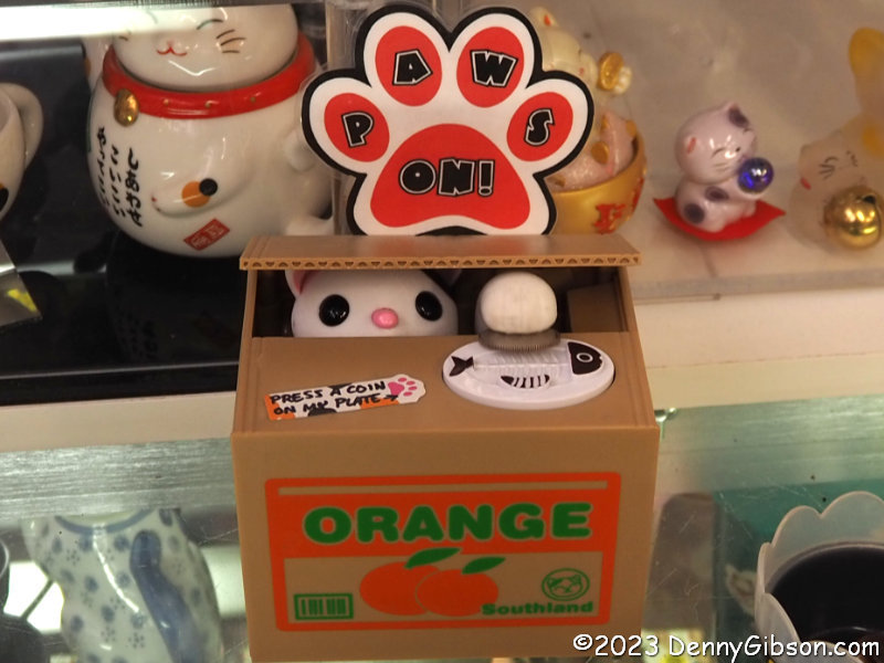 This sneaky fellow and his identical twin did charm me out of a few coins and, yes, others have placed videos online if you care to look.
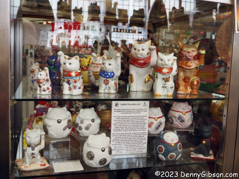
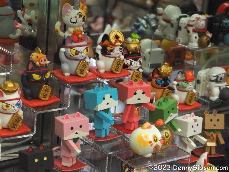
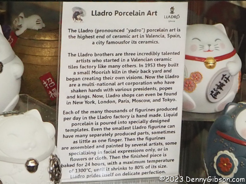
 It should not come as a surprise that some of the cats have found work in advertising or that their manufacture has expanded beyond Japan or even China. All the cats in the second photo were made in Spain by Lladro.
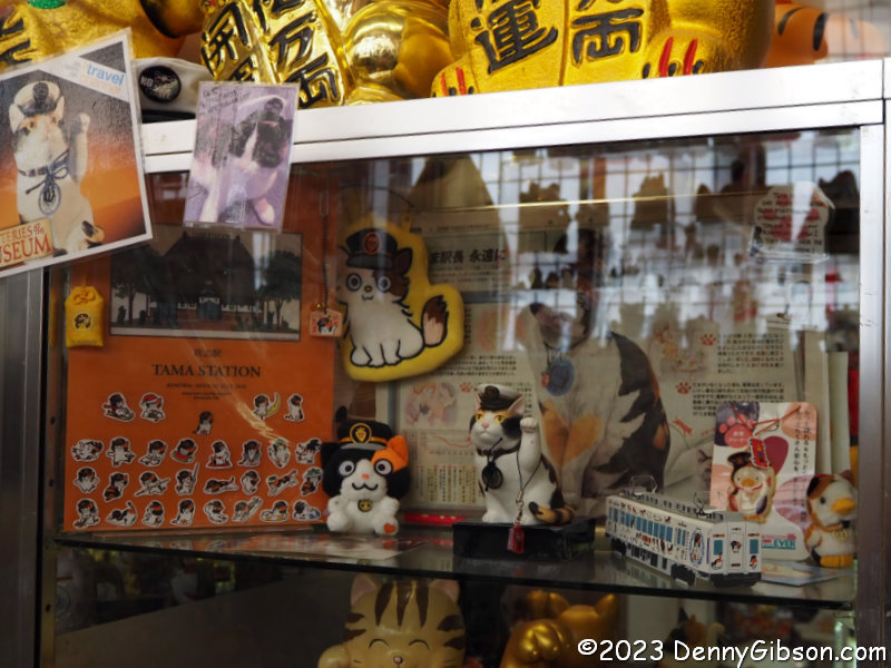
 In my pre-visit poking around, I had seen references to “the cat that saved a train station” but had not pursued them. The claim turns out to be 100% true and the story well worth reading. Tama, the cat, was instrumental in keeping a Japanese train station open after it was scheduled to be shut down. With the official title of Station Master, she took her salary in cat food.
 By this point, I was well aware that I was in the presence of someone with an encyclopedic knowledge of her subject but Robertson’s answer to a question about the box-headed cats drove it home. The tour was a combination of Robertson pointing out things of interest and me asking questions about random objects. In both cases, she provided in-depth details straight from her memory. The box-headed cats come from a Japanese cartoon that Robertson knew the name and history of. I just wish I could remember what she said. I had earlier been impressed by learning that she taught herself enough Japanese to survive in online auctions.
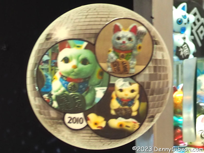
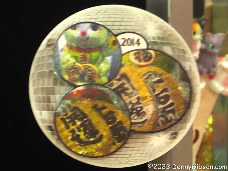
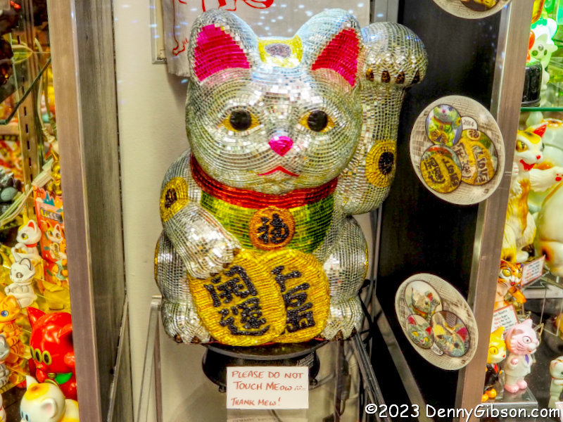
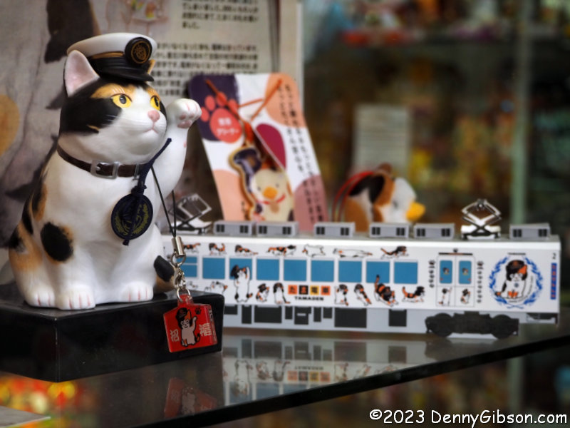
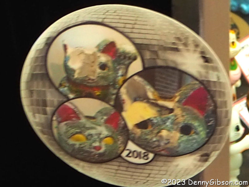 The cat in the opening picture wasn’t always glittering with a skin of mirrors. It has led a pretty rough life which is documented in the discs hanging next to it. In 2010, while on loan to the Krohn Conservatory for its Japanese butterfly exhibit, it was dropped in the last days of the exhibit. Damage also occurred in 2014 and 2018. On one occasion it was dropped by Micha’s husband but I don’t recall what the other accident was and I don’t remember which was which. Repairs were made every time with the mirrored surface apparently appearing in 2014. With that sort of history, I suppose some might question whether or not Disco Cat deserves a spot in a Lucky Cat Museum but I don’t. Sometimes Beckoning Cats bring luck to their owners and sometimes it’s the other way around. There is an awful lot of the latter going on here.


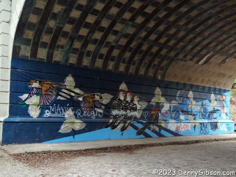


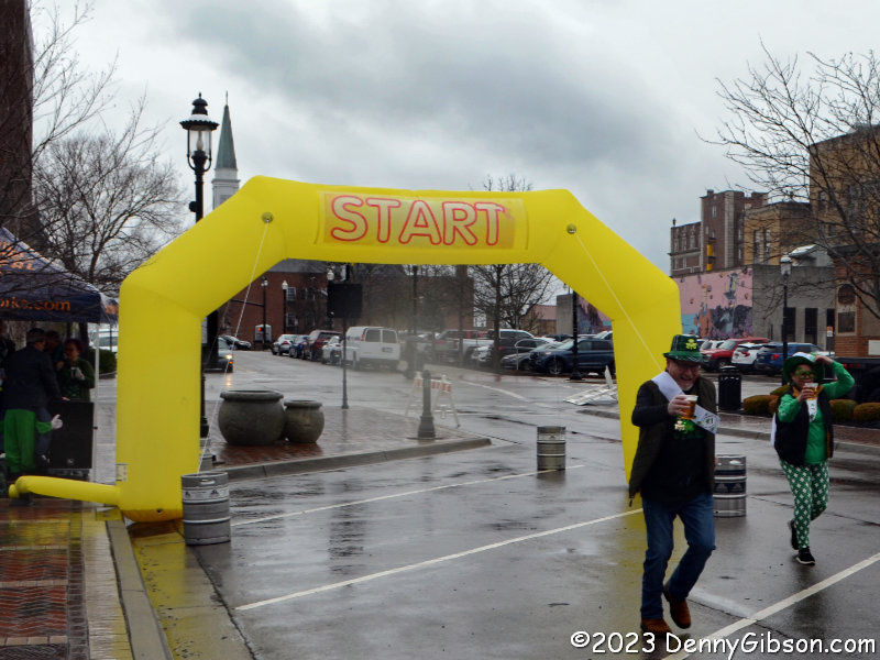
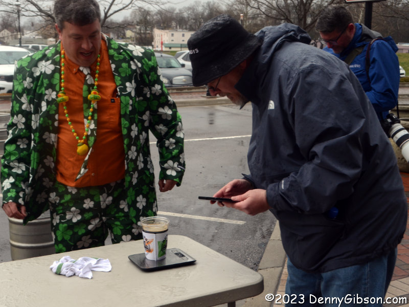
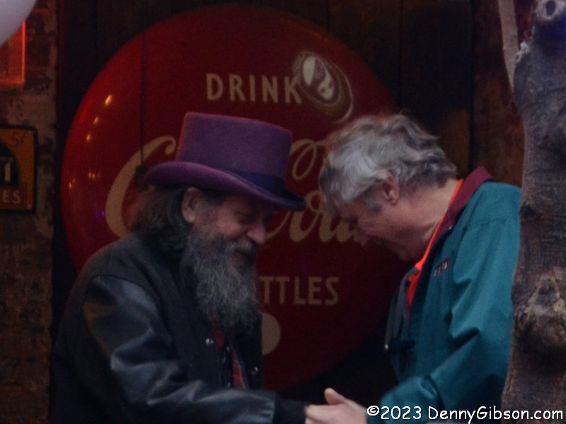
 For the second consecutive year, I’ve created a post specifically for my birthday. I didn’t expect to. I did it last year to note a milestone in age and a change in appearance. I’m doing it this year primarily to record some thoughts. I ended
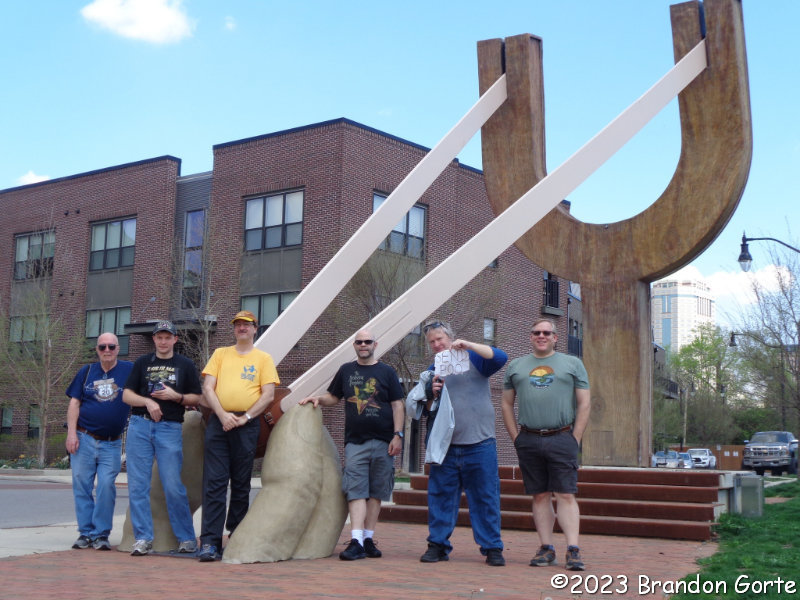
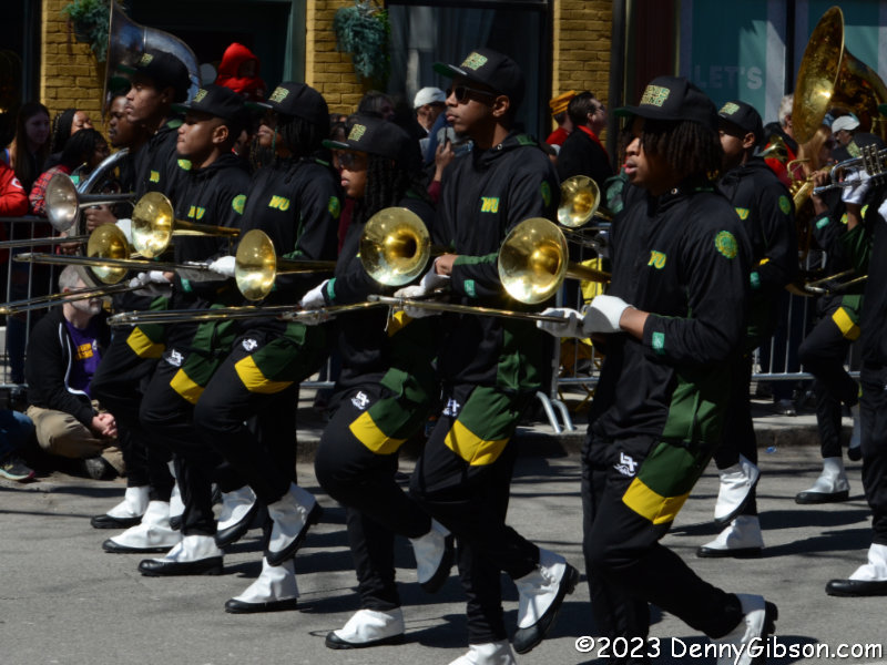
  The day before John turned seventy-six, he commented about having that number of trombonists serenade him for his birthday. On the day. I shared a Youtube clip of The Music Man‘s signature song.


