
 I recall that at some point during the COVID-19 “shutdown”, outside tours of Cincinnati’s Music Hall became available and I had every intention of joining one. I do not recall why I didn’t. I finally made it on Saturday but by then, inside tours were also available so I did one of those on Friday. I’m no stranger to the 144-year-old building and even posted some 100% layman-type commentary on the place before and after its recent renovation: A Pre-Refurb Peek at Music Hall and A Post-Refurb Peek at Music Hall. But what little I did know about the building came purely from attending events there so I learned plenty from both tours.
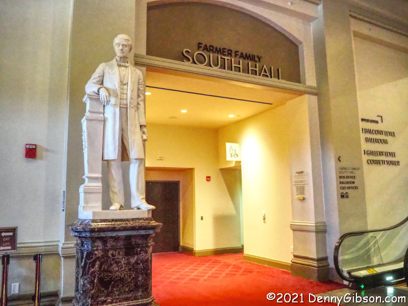
 Much of Friday’s tour was through public spaces I was fairly familiar with but which I’d never seen without a crowd of concertgoers. The statue of Reuben R. Springer is in the main lobby. Springer donated the majority of the money to construct the Samuel Hannaford designed building that replaced a tin-roofed wooden structure on the site. During the 2016-17 renovation, the solid wood doors across the front of the building were replaced by glass doors that really brightened up the lobby. Two of the original doors now stand behind each of the two bars in the corners of the lobby.
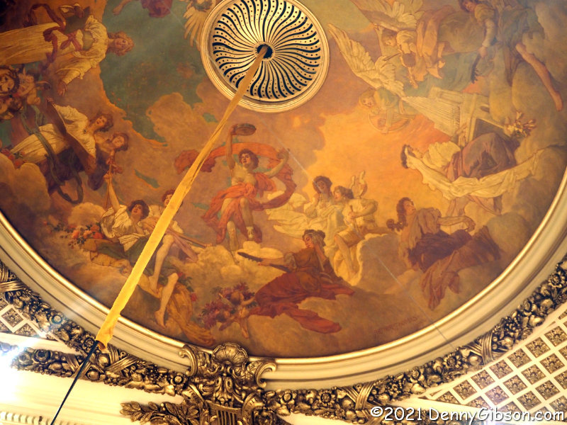
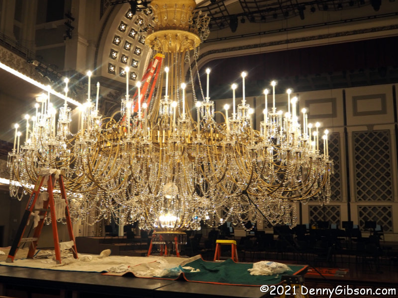 The main performance space is named Springer Auditorium and I’ve been inside it quite a few times. That includes once since the big renovation so I was aware of improvements like the wider seats and overhead acoustic panels. I was not, as a certain cinematic scientist might say, shivering with anticipation when we entered but maybe I should have been. I knew that the 1,500-pound Czechoslovakian chandelier was lowered and cleaned on a regular basis and was even vaguely aware that it happened every two years but I had no idea that one of those cleanings was currently in progress. Seeing all that crystal at eye level with the ceiling images unblocked was probably the day’s personal highlight for me.
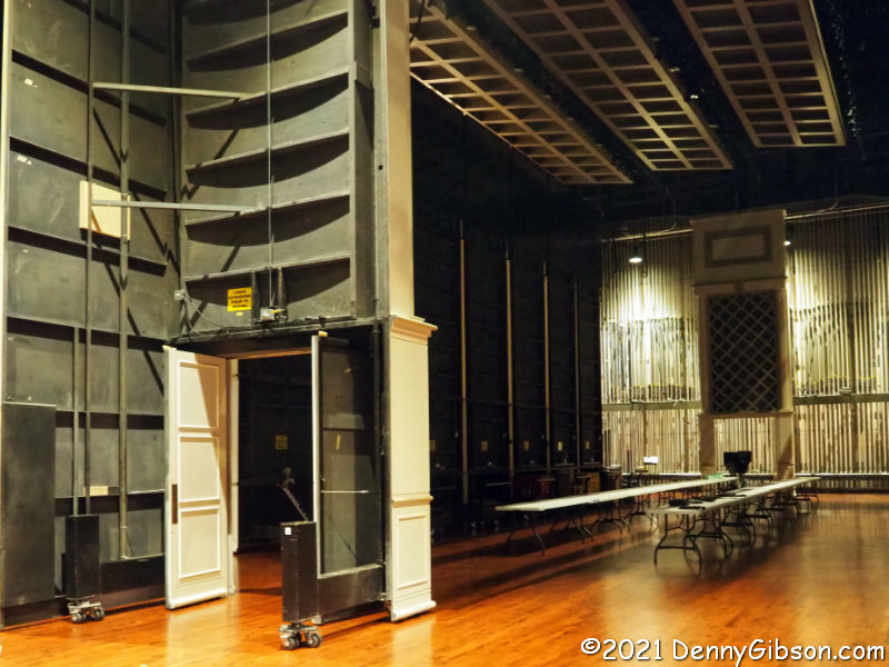
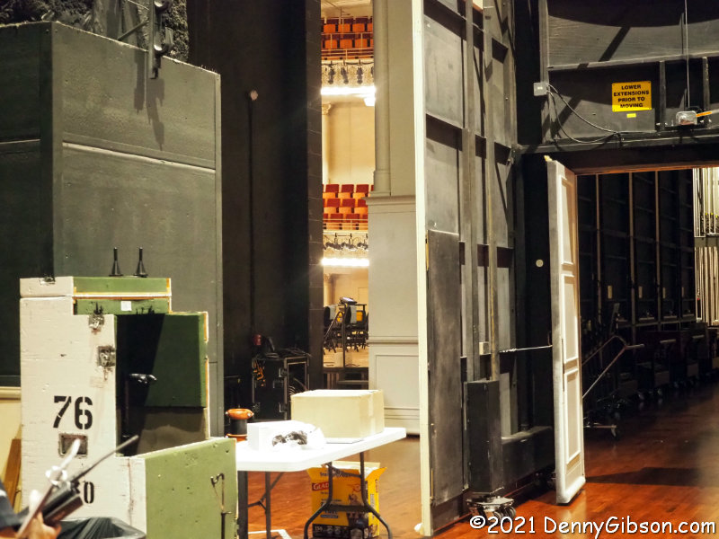
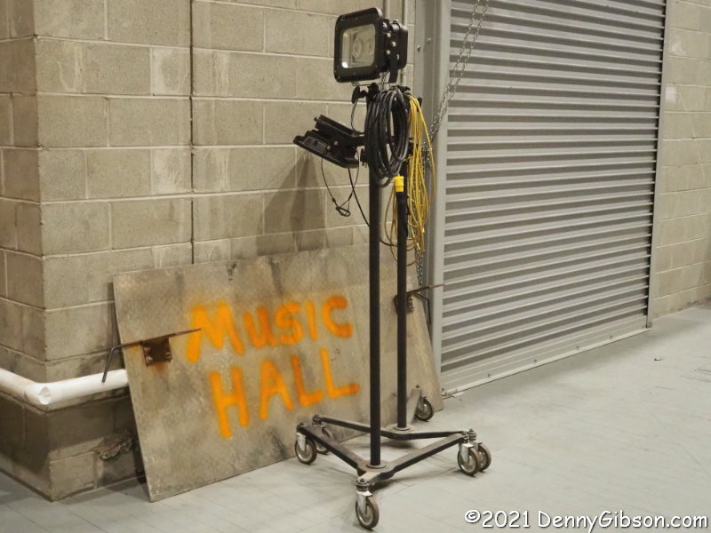
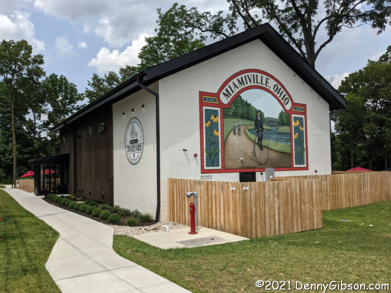
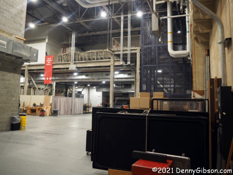 We did get into some non-public spaces I’d never seen before. One of these was the huge backstage area with a glimpse of the main stage through a narrow opening. Another was the north hall which was originally built for industrial exhibitions but which became an athletic venue at some point. It was here that Ezzard Charles won many of his fights on the way to becoming World Heavyweight Champion and where the Cincinnati Bearcats played basketball in the 1940s. Cincinnati Gardens effectively took over the job of hosting Cincinnati’s athletic events when it opened in 1949. This is where I took the picture of the handpainted Music Hall that opens this article.
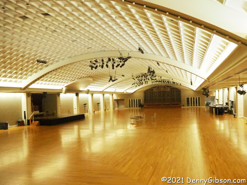 Friday’s last stop was the upper floor of the south hall. The south hall had been built as a place for agricultural exhibits. With its glass roof, it functioned as the city’s horticultural showplace until Krohn Conservatory opened in 1933. Since then, it has served as a nightclub and dance hall in various forms and today is often rented out for private functions. I have been here a few times but only when it was jam-packed with people.
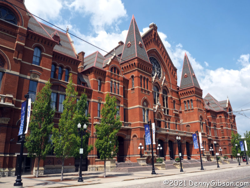
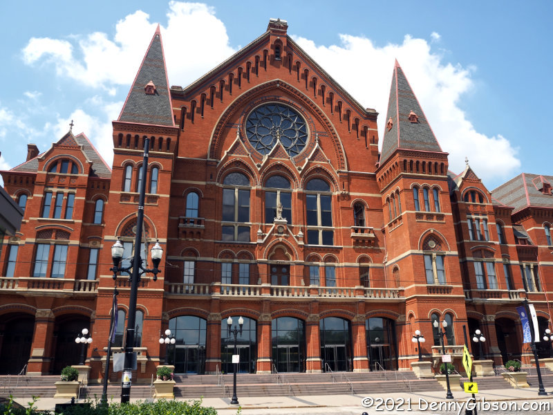 There were, of course, no non-public spaces on Saturday’s outside tour and I don’t believe I actually saw anything that I had not seen before. I did, however, learn quite a bit and now see some things differently. I know I’ve heard the architectural style described and may have even heard some form of the name our guide used; High Victorian Gothic Revival. But I don’t recall ever hearing the idiom he shared: “stripes and spikes”. He attributed this to an architecture critic of the day and it certainly seems to fit.
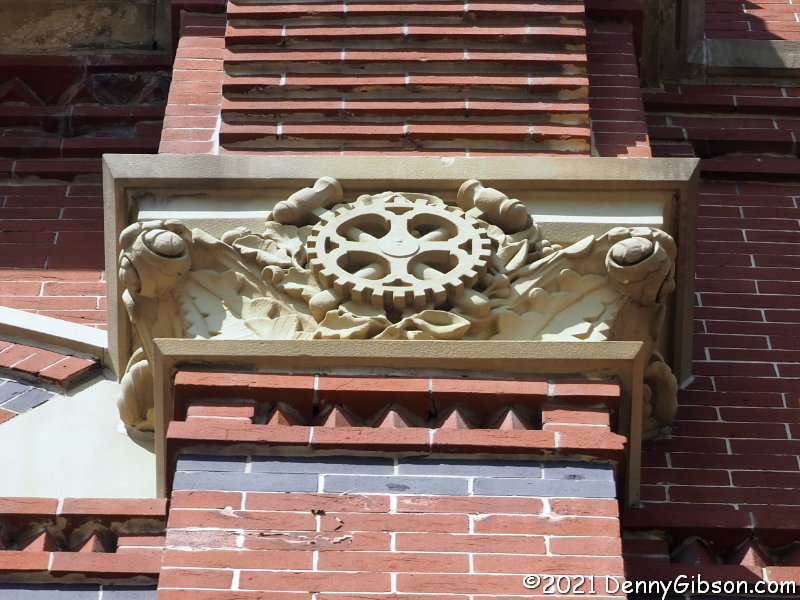
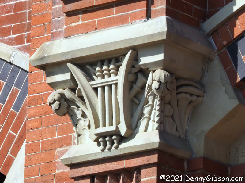
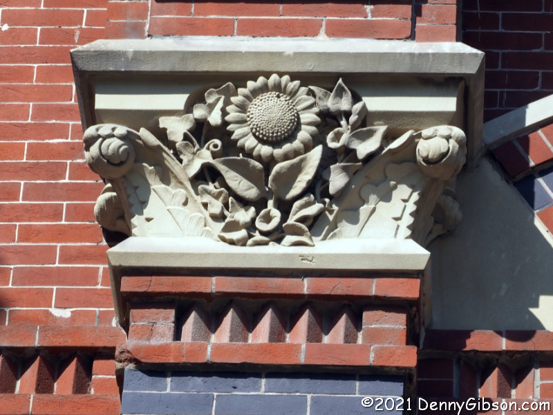 The south hall is marked with leaves and flowers to match its agricultural purpose while the north hall’s industrial connection is indicated by gears and mallets. Musical lyres adorn the central building.
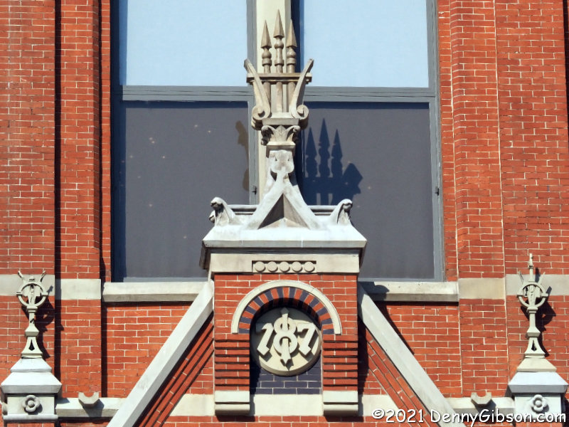
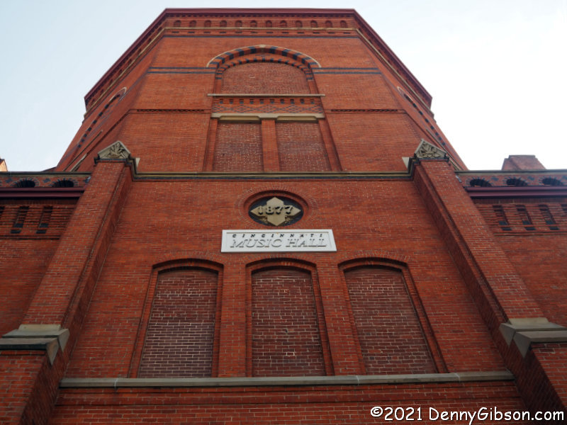 The main building displays its year of completion if you can sort the digits into the right sequence. The two side buildings were completed during the following year. The fronts of all three were constructed with glazed bricks brought from Philadelphia and Zanesville. Some of these were then black coated on site. The rear portion of the buildings used less expensive local bricks and some additional money may have been saved by not paying someone to shuffle the build date.
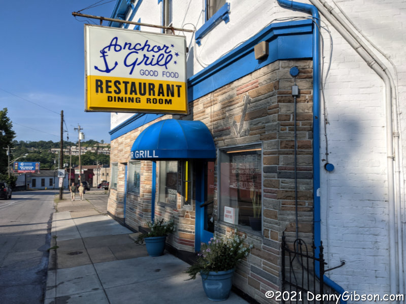
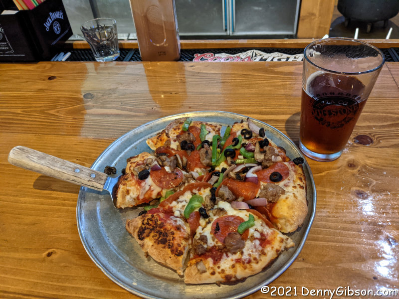
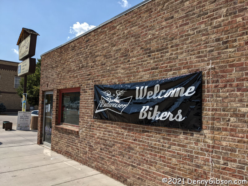
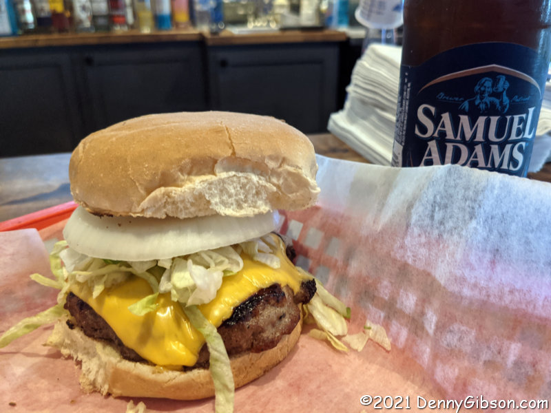
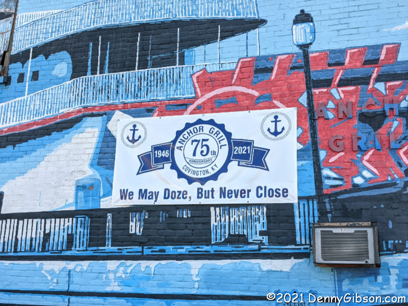 Music Hall is close to downtown Cincinnati and I used the tours as an excuse to eat at a couple of favorites I don’t get to all that often. Friday’s tour was in the afternoon and I stopped by Camp Washington Chili on the way home but took no pictures. Saturday’s tour was in the morning and I headed to the Anchor Grill for breakfast. I did not intend to take pictures there either, but a banner in the parking lot changed my mind. Anchor Grill survived the worst of the pandemic on carryout so I checked before I went, and was happy to see they were now allowing dining-in. Apparently, they’ve been doing it since May, and that’s when the actual 75th anniversary was, too. I really should have been paying attention.
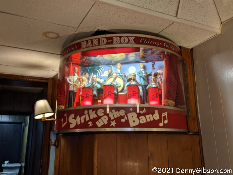
 In my experience, the Band Box isn’t played much but almost as soon as I got my order in today, the curtain opened and the music began. It was still going when I left with the animated dance orchestra performing a non-stop medley of brokenhearted country love songs. I thought that was really special. And eating in restaurants older than me two days in a row is pretty special too.


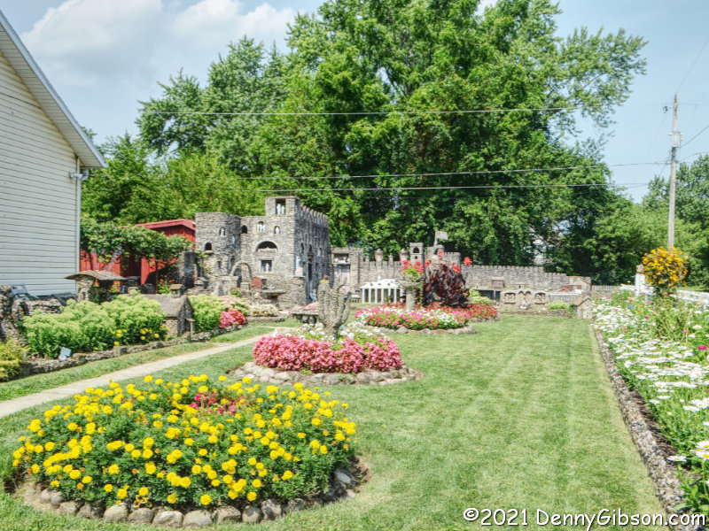
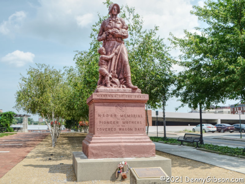
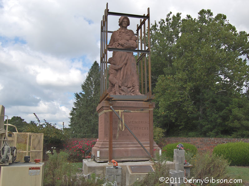
 Just like all but one of my previous books, Tracing a T to Tampa is a travelogue. Unlike any of those books, it is not about following a specific road or reaching specific destinations. It is about following a single specific trip. That trip is one made by my great-grandparents in 1920 in a Model T Ford. Throughout the 1920 journey, my great-grandmother sent a series of letters to her daughter in which town names were often included in her reports of what they were seeing and doing. Those town names allowed me to roughly reproduce their route. There are multiple reasons why my reproduction is a rough one. One is that roads have changed in the intervening years and another is that I usually had to guess at the path they took between the towns my great-grandmother mentioned. Some of those guesses are almost certainly wrong but proving it, should you be so inclined, would not be easy. Parts of the 1920 trip were clearly on the Dixie Highway and National Old Trails Road although neither is identified by name in the letters.


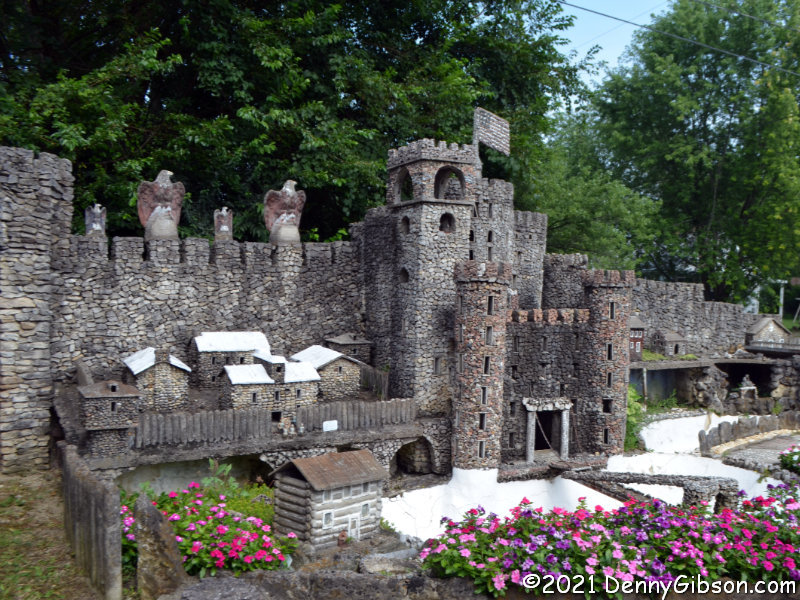
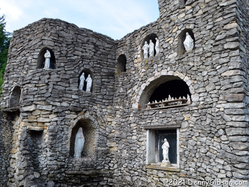
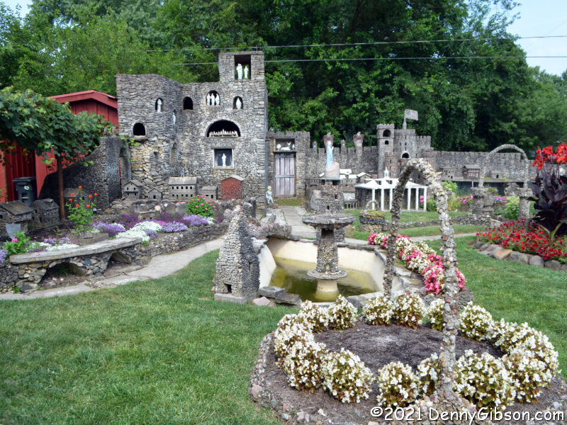
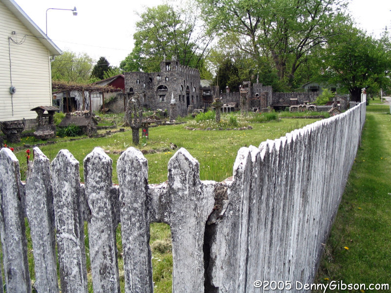
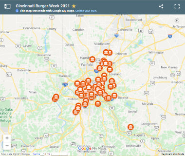 The first day of this year’s