
 I know I can’t do this forever, but I let the Facebook crowd steer me to another blog post this week. This one is somewhat different in that it doesn’t involve something new to me but some things I’d seen multiple times in the past that I was due for a refresher on. Back in 2006, I did Oddment pages on two dams that altered the path of the National Road north of Dayton, Ohio. Those pages are here, for the Taylorsville Dam, and here, for the Englewood Dam. The next year, I wrote an article for American Road Magazine (Vol V Num 3) that talked about both dams. The name of this post comes from the name of that article.
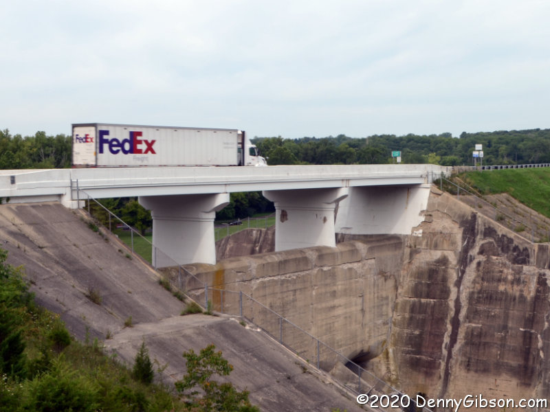
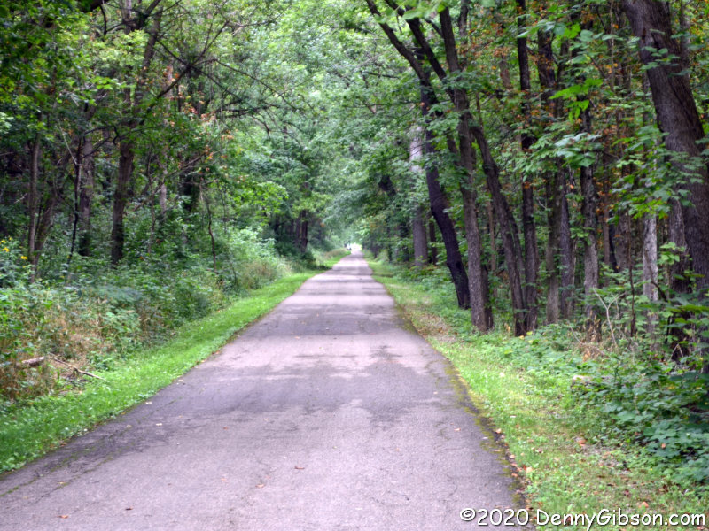
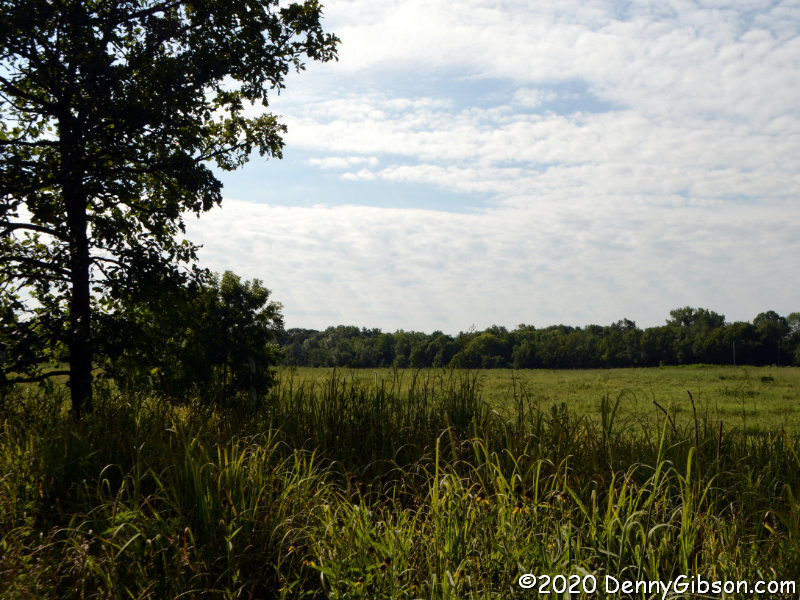
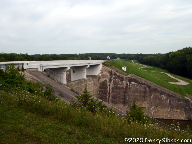 The first photo at left shows the easternmost edge of the easternmost dent. The road runs south for about a mile and a half before turning west to cross the mile-long dam then turning north to rejoin the original route. The dam is shown in the opening photo, which some will recognize as my attempt to reproduce George R. Stewart’s Photo #27 from 1953’s US 40: Cross-Section of the United States of America. Stewart’s photo and my “update” concentrate on the spillway and the bridge that crosses it. More of the massive earthen dam can be seen in the picture at left. The dams were completed in 1922 in response to the horrific 1913 flood. At that time, this was still known as the National Road. It would become US-40 in 1926. The 1953 and 2020 photos show some differences in the bridge itself due to a 1979 rehabilitation. The National Old Trails Road, a continent crossing named auto trail that existed from 1912 to 1926 never crossed these dams since the NOTR followed the “Dayton Cutoff” south through Dayton and Eaton.
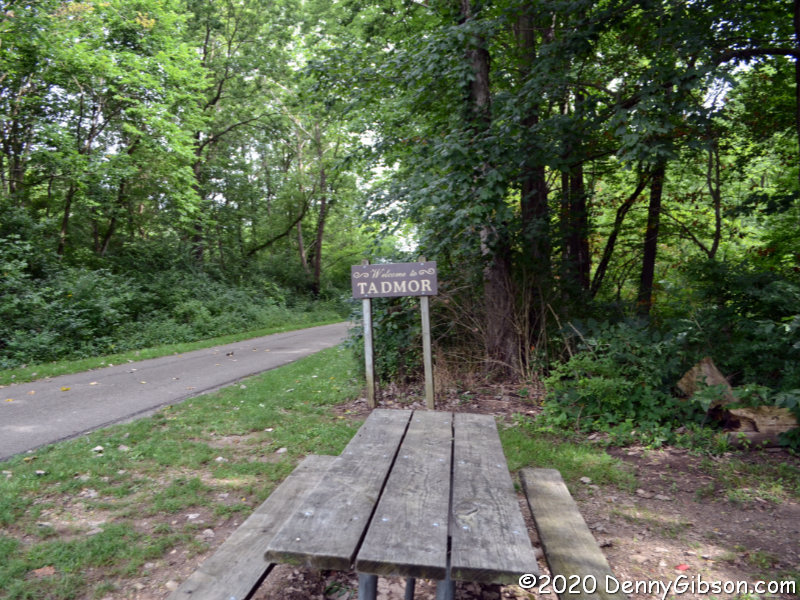
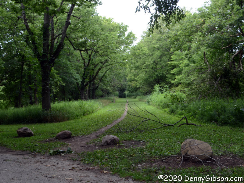
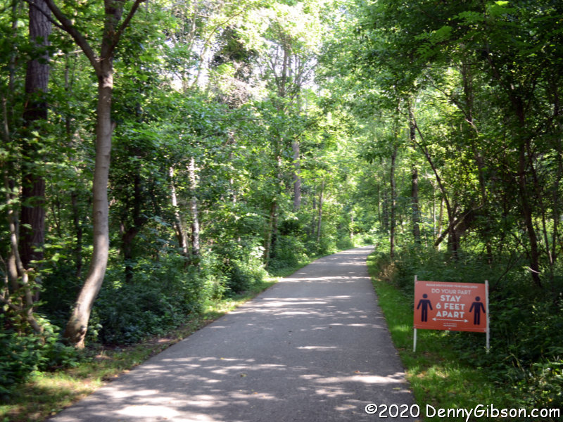
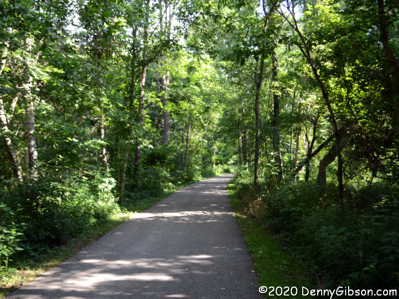
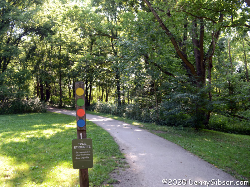
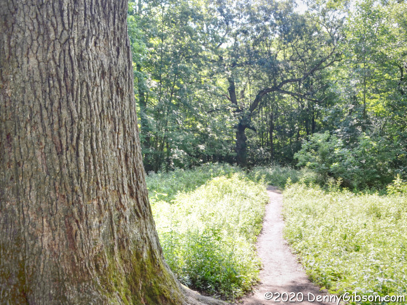
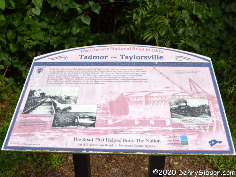
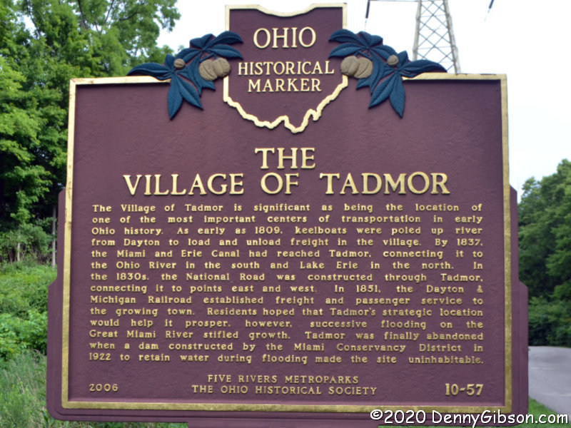
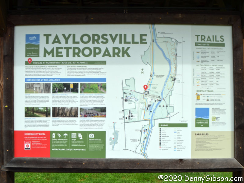 There is a small paved area at the east end of the Taylorsville Dam where I parked to photograph it. On the west end, there is an actual park area with considerably more parking space and several informative signs including one from the Ohio National Road Association on Tadmor and Taylorsville. A section of the extensive Miami Vally Trails system passes through here and makes it easy to get to the former location of the town of Tadmor about 1.3 miles away.
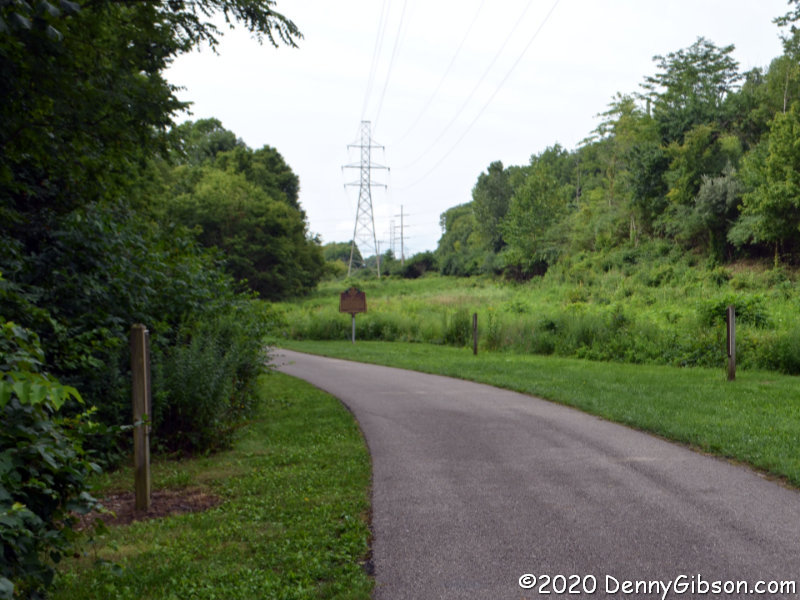
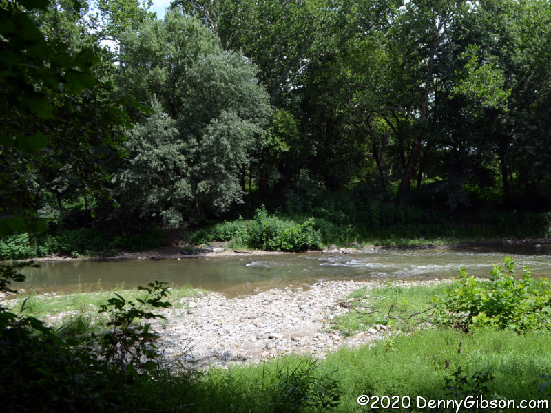
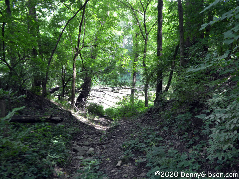
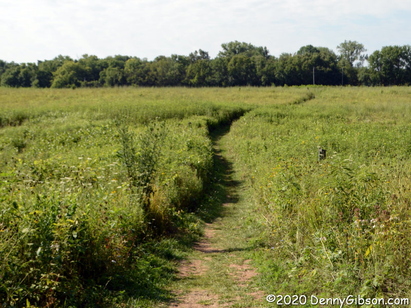
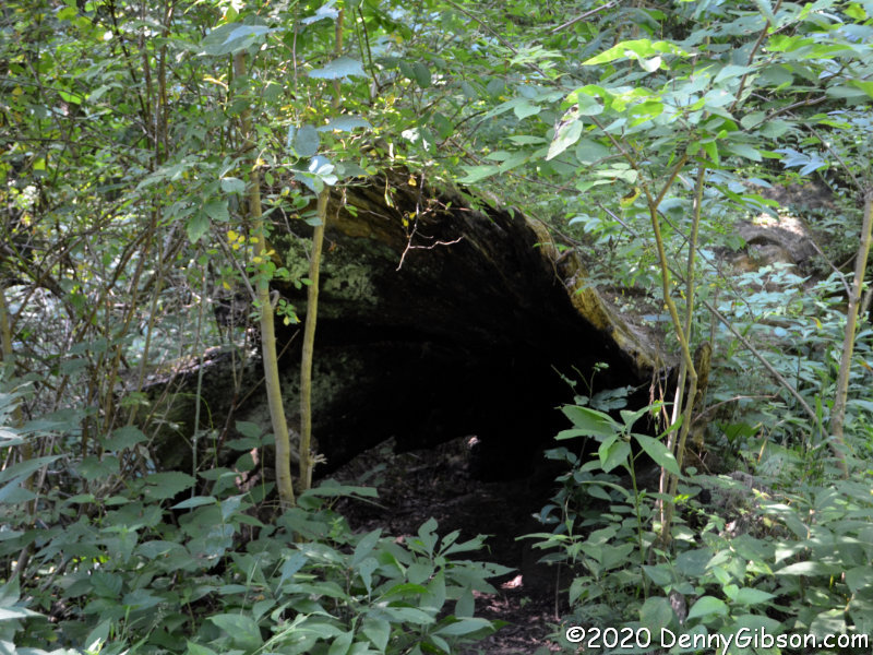
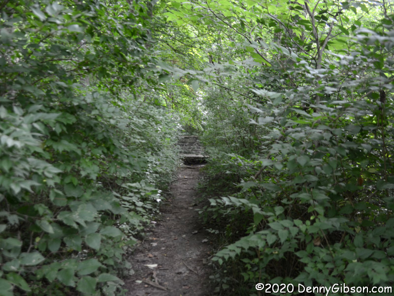
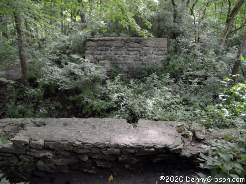
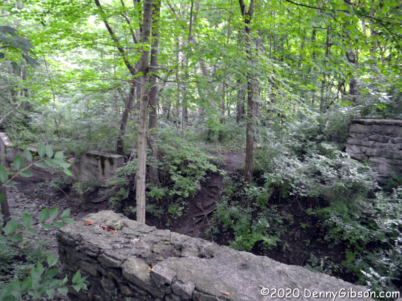 The first of these pictures was taken looking back to the south after I’d strolled beyond Tadmor. I have been to the site since the dual purpose plaque (readable here and here) was placed but there are more labeled posts than I remember. Another difference is the rather impenetrable growth between the path and the river. There is a narrow path next to the previously pictured Tadmor sign that leads directly to the abutments of a short bridge that crossed the canal. Because of the growth and my aging sense of adventure, I did not go beyond this today as I did in 2006. The third picture shows a wall of the canal sluice gate with the canal bridge abutments in the foreground.
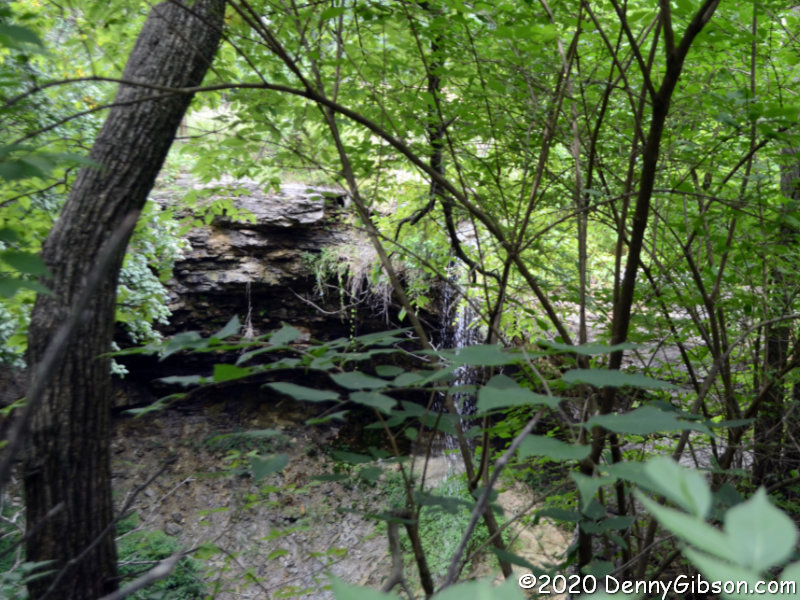
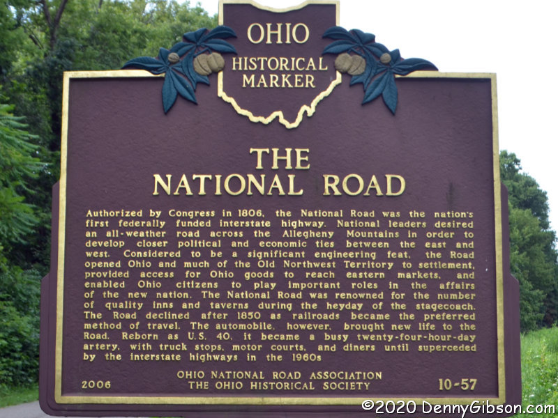
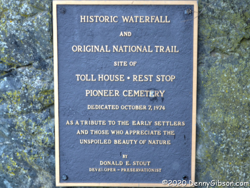
 The rules called for the National Road to follow a straight line to the capital city Columbus with no grade greater than 10%. At Tadmor, following both of these rules in the early 19th century was impossible and it was the straight-line rule that lost. The road turned to the south on the west bank of the Great Miami and curved around a large hill. The grade, though not as bad as climbing the hill, still gave westbound travelers and their animals quite a workout. A spring near the top was certainly a welcome sight. The spring can be reached by heading east a bit where US 40 picks up the original path of the National Road. Although it’s not easy getting a clear view of the spring-fed waterfall, it is pretty easy imagining how refreshing it was to a team of horses dragging a Conestoga wagon up from the riverbank. A less blown-out version of the plaque is here.
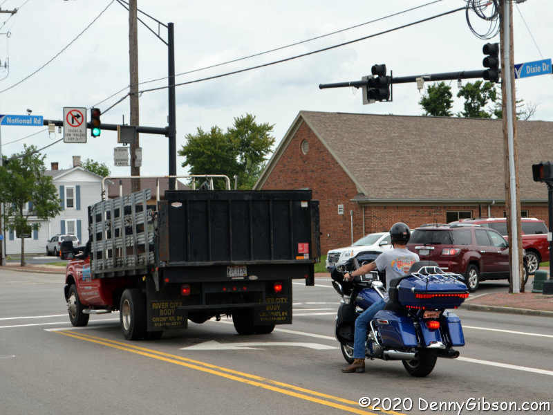
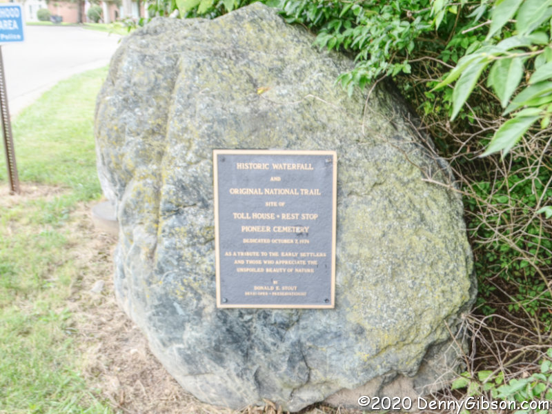
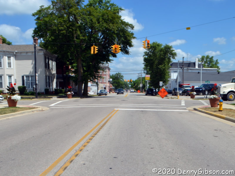
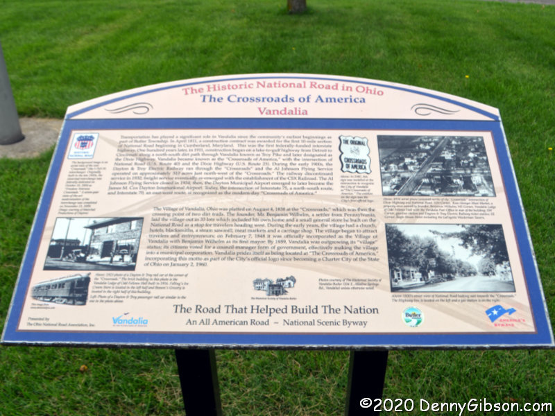
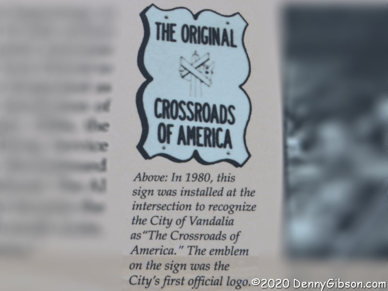
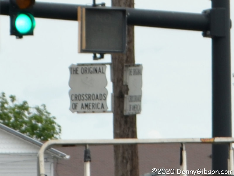
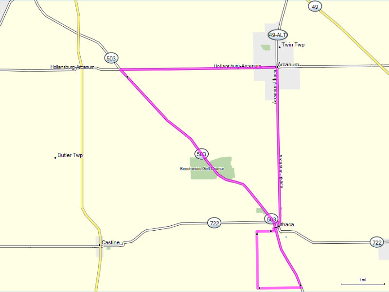
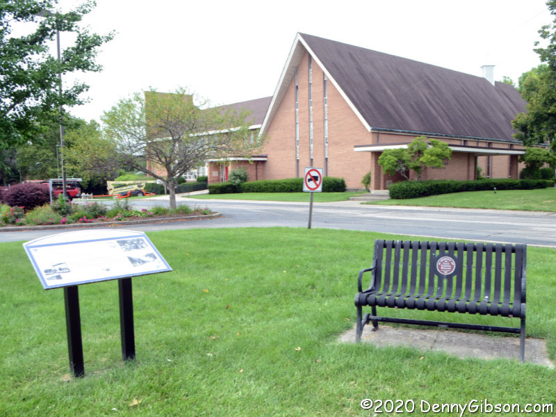 An intersection between the dents has a legitimate claim on the Crossroads of America. In the days before US Numbered Highways, the National Road and the Dixie Highway crossed here. With the coming of numbers, the crossing routes became US-40 and US-25. A fair amount of traffic still passes through the intersection today though not nearly as much as through the nearby intersections of the successors to these routes, I-75 and I-70. The memorial bench and explanatory sign are just west of the intersection. A detail lifted from the sign explains a detail lifted from the photo of the intersection.

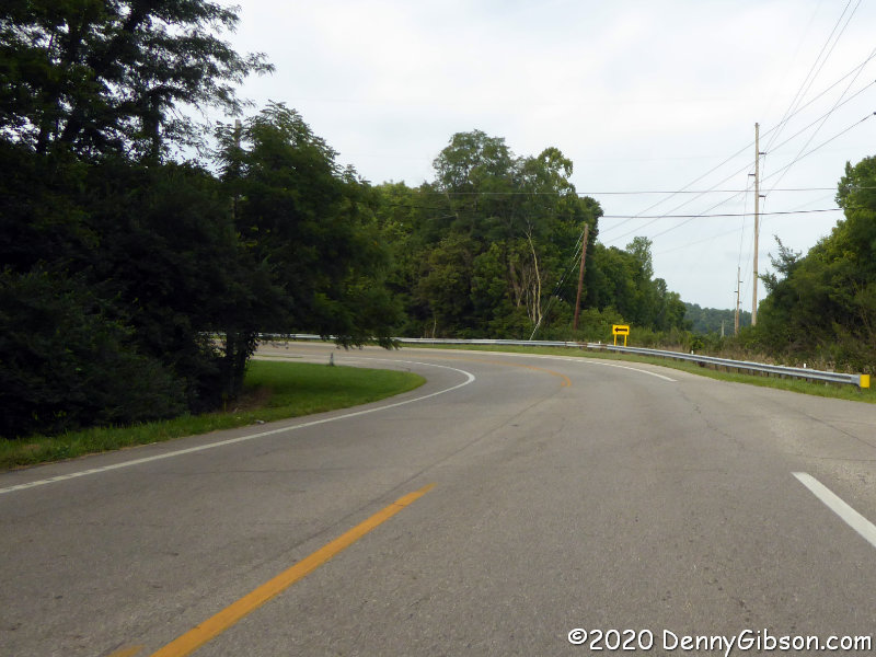
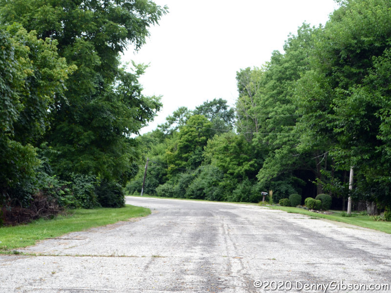
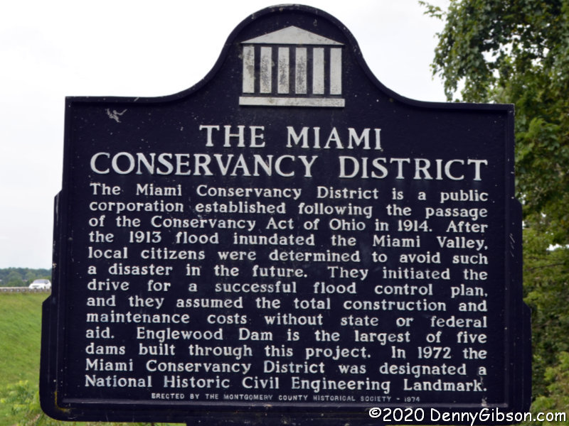
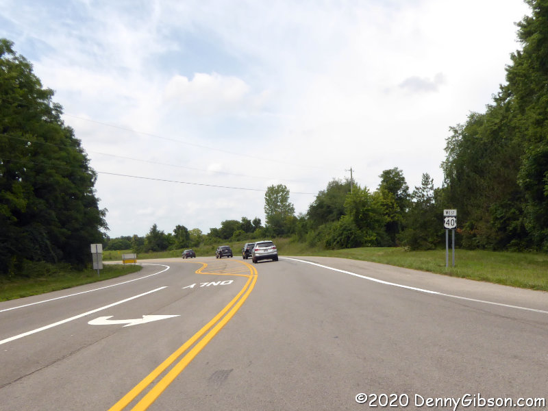 Continuing west, I came to the beginning of the second dent. Behind those trees on the right is a bypassed earlier curve which I slipped onto for a photograph. The entrance to the eastern portion of Engelwood Metropark is right at the eastern end of the dam. There is parking space for several cars and that is where I paused to photograph the dam and explanatory sign.
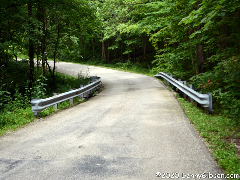
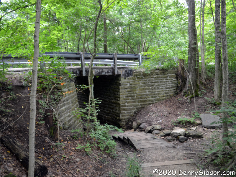
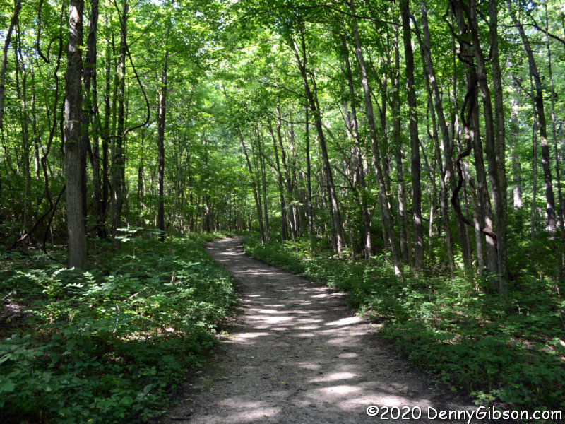
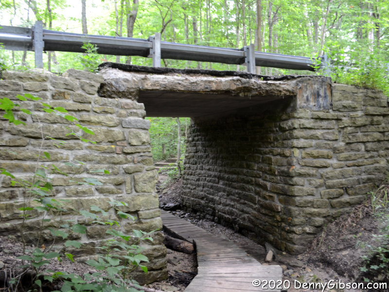
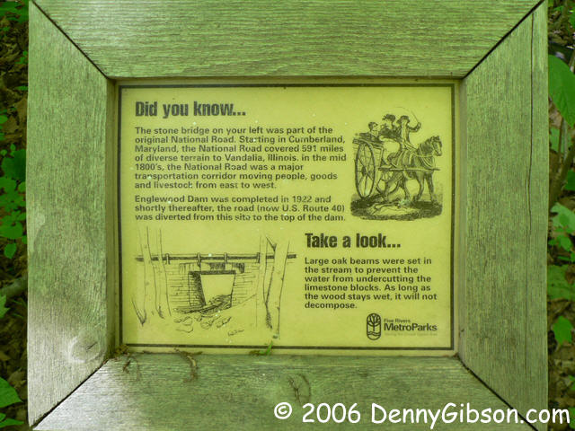
 The road through the park is one-way which requires the former National Road, now called Patty Road, to be driven from west to east. Since all my other driving in this post has been east to west, that’s the sequence in which I’ve arranged these photos. The little bridge doesn’t look particularly historic when driving over it but the underside is a different story. The second picture shows the bridge from the north side and there’s a view from the south here. A sign that once stood near the bridge has gone missing so I’ve included a photo of it from 2006. The third photo shows where the National Road once continued westward. I walked down it in 2006 but did not today. There really isn’t much to see as a water-filled borrow pit prevents reaching the river.
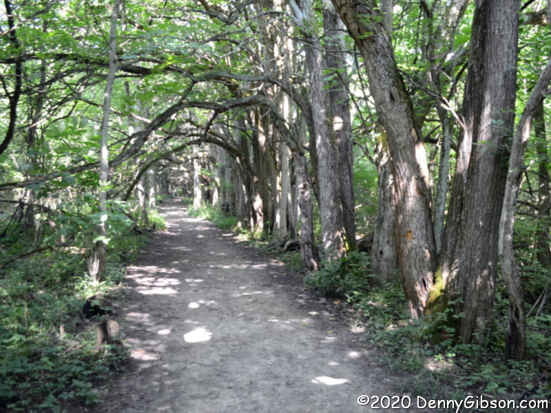
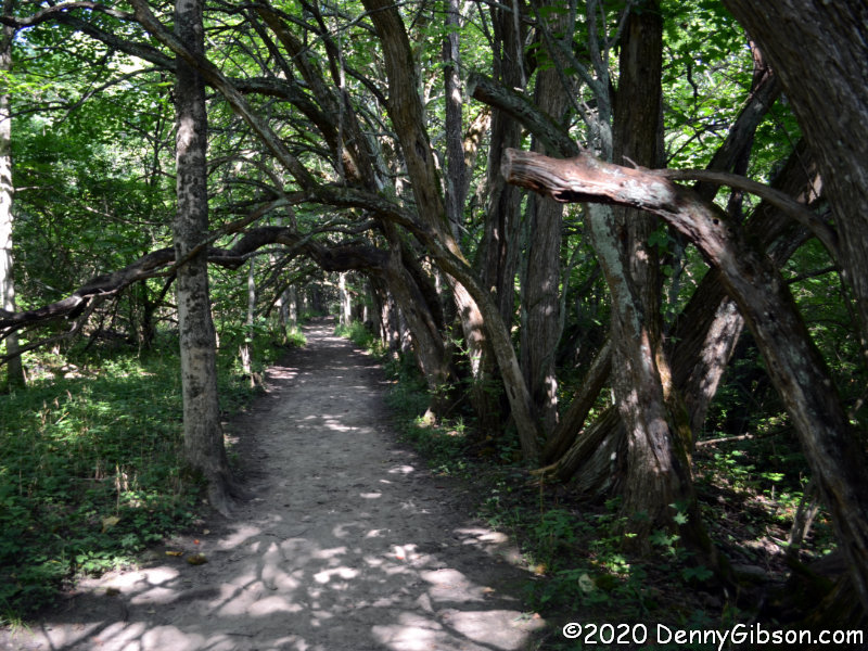
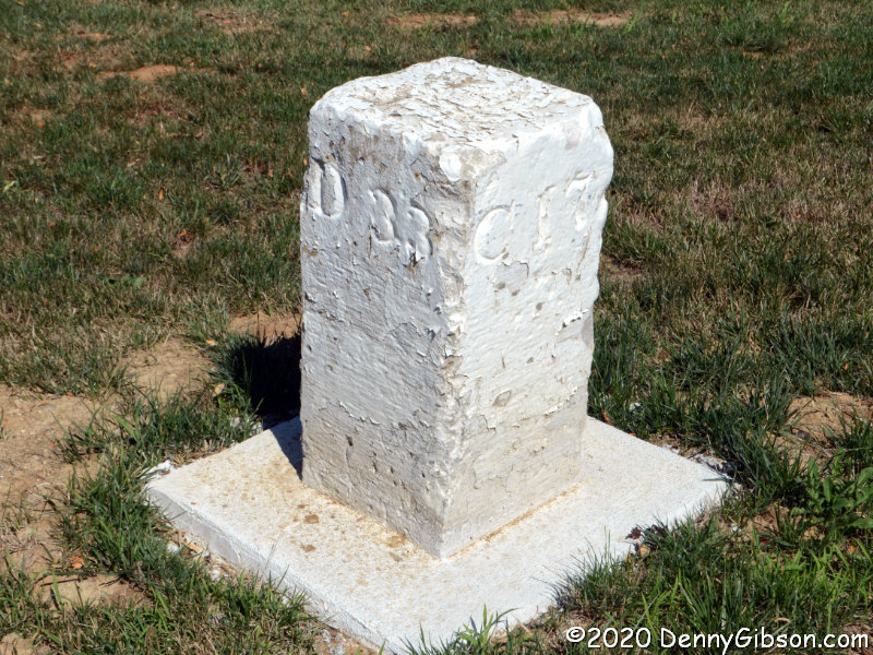
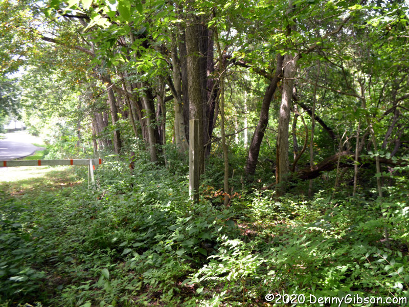
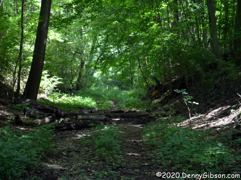 This is on the west side of the Stillwater River in the smaller portion of Engelwood Metropark. I’ve been in the park before but did not do much exploring. Today I walked an abandoned section of the National Road down to the river. I’ve heard, and have even told others, that there are pieces of bridge abutments along the river. That might be true, but I didn’t see any today. I also didn’t see an explanatory sign mentioned in a Facebook post by William Flood, author of the upcoming Driving the National Road & Route 40 in Ohio: Then and Now. Further online discussion indicated that it might have gone missing from this wooden post. Not finding the sign certainly wasn’t an issue since looking for it is what led me to the riverside and that’s a good thing.
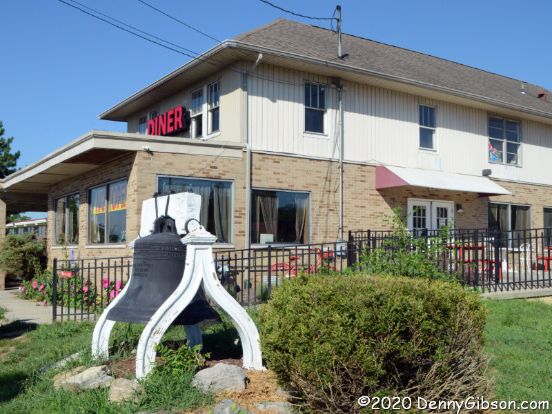
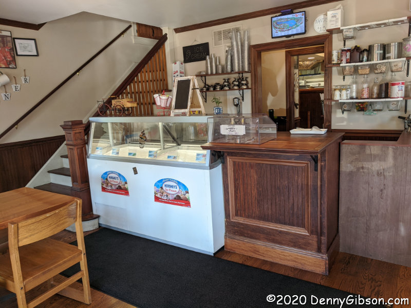
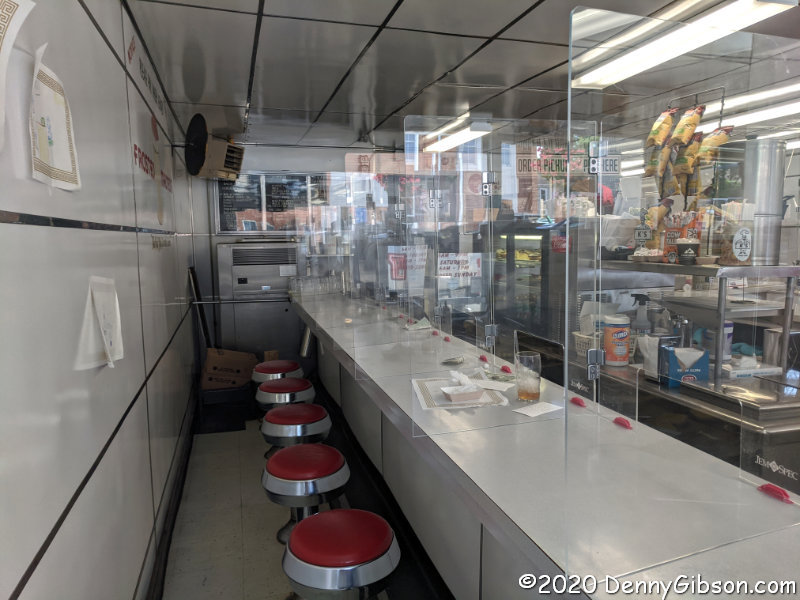
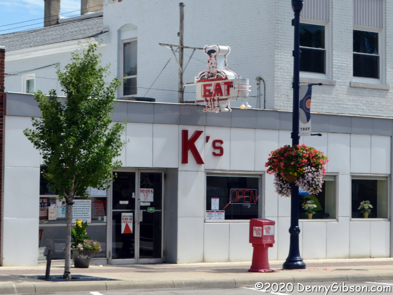
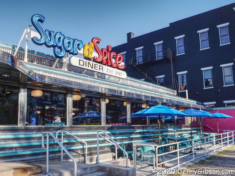
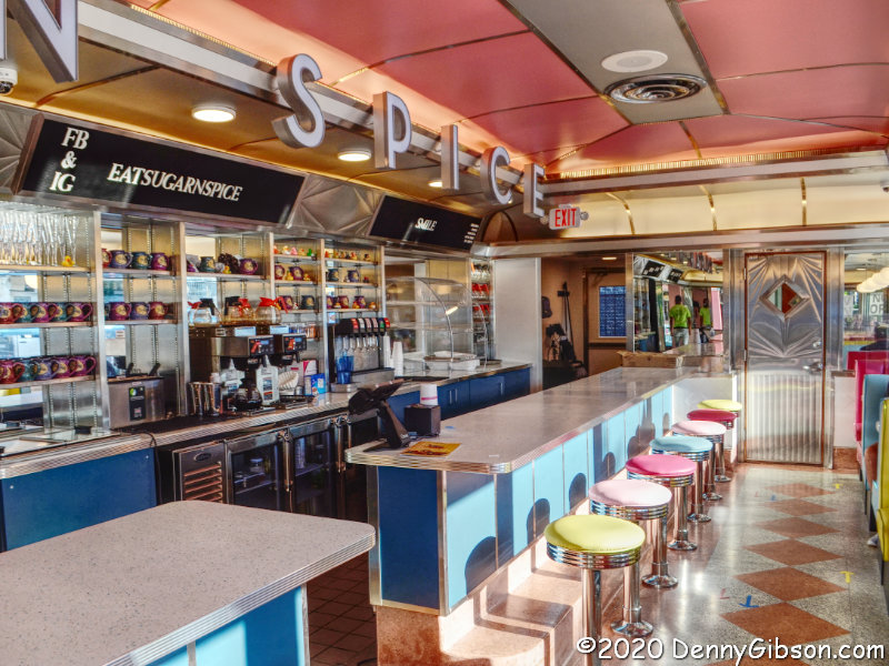
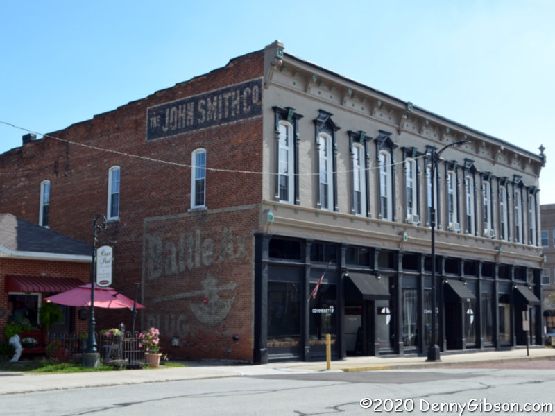
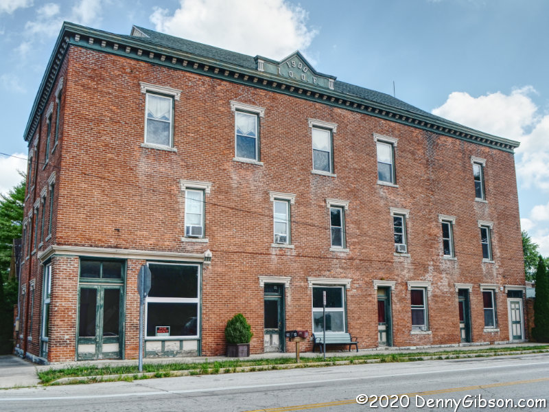
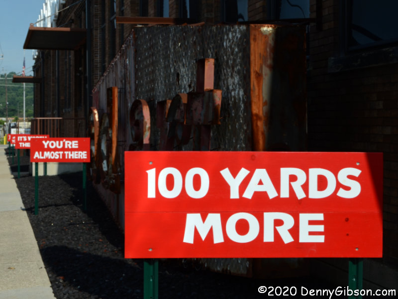
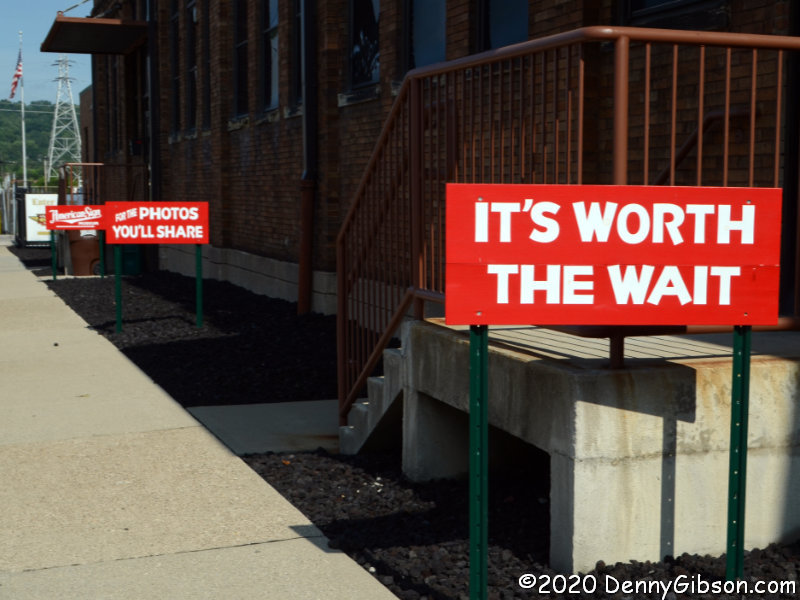
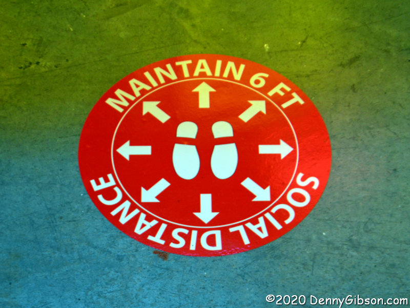
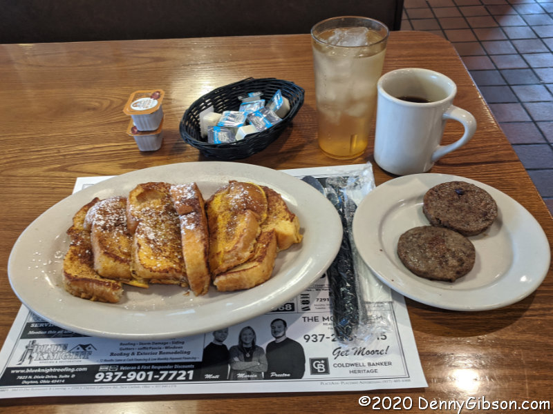
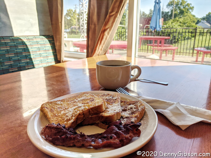
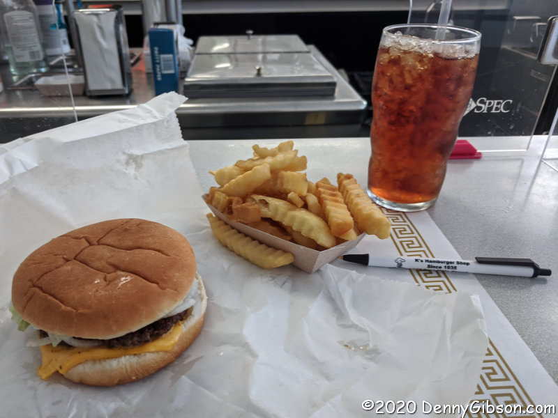
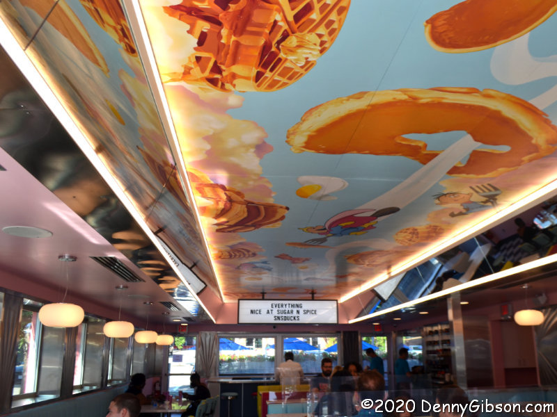
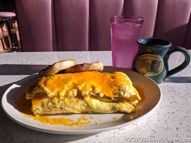
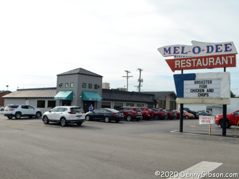 Yes, I had breakfast. The Mell-O-Dee Restaurant isn’t exactly on the National Road, but about two miles to the south where it’s been since 1965. COVID-19 precautions include a closed counter, plexiglass dividers between booths, and masked staff. They bake their own bread and pies and their French toast is made with that bread. It’s what I ordered and devoured with another COVID-19 precaution, disposable utensils.

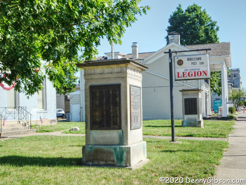
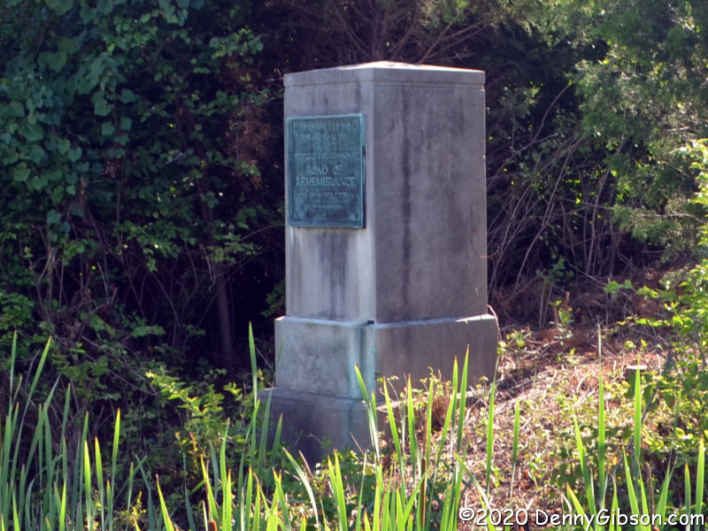
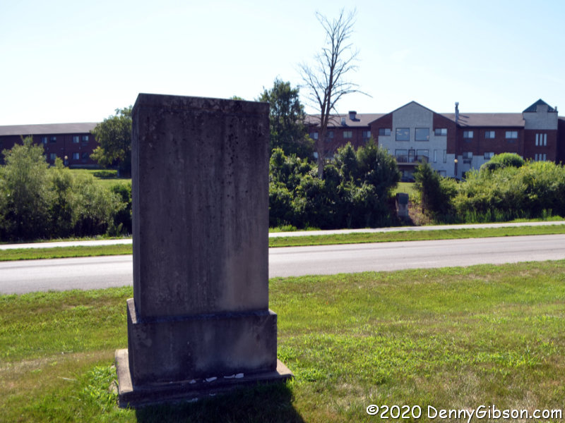
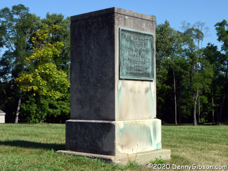
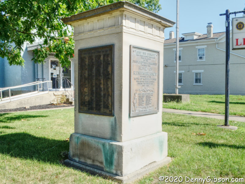

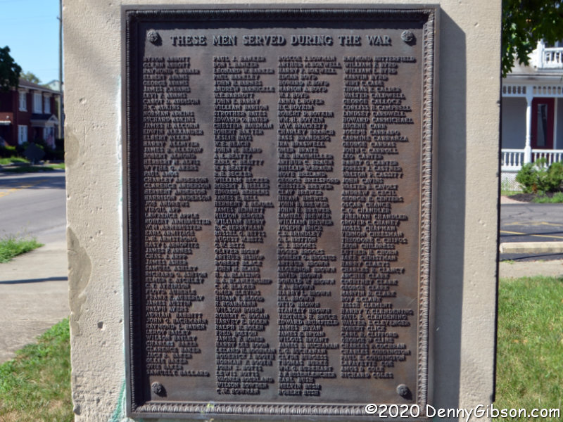
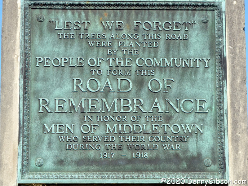
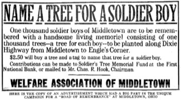 References to the Middletown Road of Remembrance often mention a thousand trees lining a mile of roadway. Both seem to have been considerably exceeded. The markers that now stand at the Legion, originally stood at 14th and Main. The southern markers originally stood about a mile and a half away at Oxford and Main. Plans to construct arches over the road where the markers stood were mentioned, but I’ve seen nothing to indicate that ever happened. Middletown’s Road of Remembrance was dedicated on Labor Day, September 6, 1920, and there are possibly legitimate claims that this was the nation’s first Road of Remembrance to be completed. The ad image is from
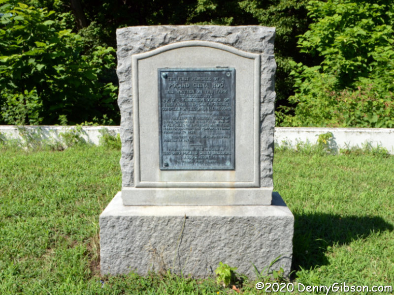


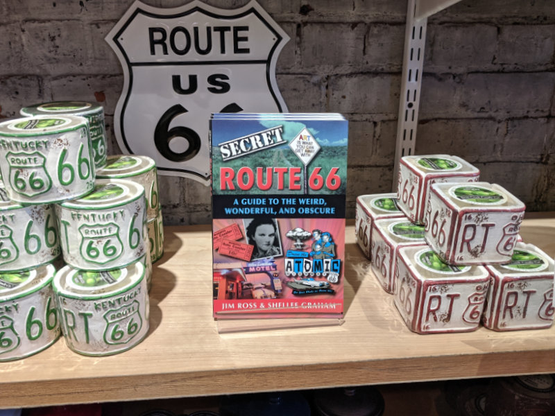
 At first glance, this probably looks like a perfect fit for my bookshelf. Like many of the other books there, its subject is a historic highway and its authors are people I know. In this case, the highway is Route 66 and the people are the husband-and-wife team of Jim Ross and Shellee Graham. Both are accomplished historians, photographers, and writers with Jim probably having a bit of an edge in the history department, Shellee having an equally small lead on the photography side, and their writing skills being too close to call. A second glance, however, just might turn up something about this book that is different from most of the others with which it now shares shelf space. It is the word “secret”.
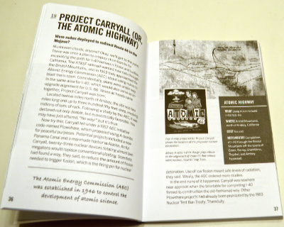 So how is this book I didn’t exactly want? Surprisingly good. I’m not really all that surprised, of course. To my relief, the idea of revealing secrets doesn’t get much further than the title. I doubted that a pair of respected authorities would suddenly become conspiratorial sounding characters sharing dark secrets from the shadows but it was good to have that verified. To some extent, the subtitle also does that. Weird, wonderful, and obscure accurately describe the book’s contents.
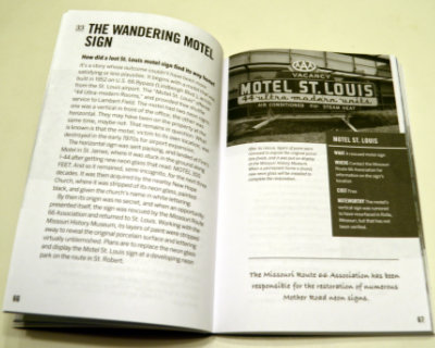 Almost everything in Secret Route 66: A Guide to the Weird, Wonderful, and Obscure is something that, while not actually a secret, is not likely to be found in mainstream guides. Even when the subject is something commonly known, Ross and Graham provide some detail or backstory not commonly known at all. Sometimes the subject isn’t a place or a thing but simply that uncommon detail or story. Among the things that struck me as weird is the true tale of a proposal to use atomic bombs for roadway excavation. Everyone has their own definition of wonderful but my definition is matched by the story of the Motel St. Louis sign that wandered off to help people find another motel (Finn’s in St. James) and then a church (New Hope) before being rescued and returned home. I thought learning about the annual reunion for the ghost town of Alanreed was kind of wonderful, too. Topping my personal list of obscure things is the chapter on several abandoned bridge abutments on the original route through Santa Fe.
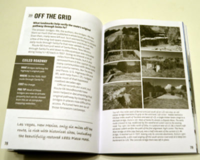 A pair of facing pages make up each of the ninety chapters so that everything about an item can be studied without flipping back and forth. A sidebar contains appropriate information, such as location. These pages are printed in black and white, but they are augmented by sixteen pages of color photographs (plus 2 b&w to make the positioning work) in the middle of the book. Some page flipping here is appropriate but the subject and associated page number are shown for each photo to make it easy. Images in the book are a mixture of historic and modern. Most of the modern photos are the work of the authors but not all. Other researchers and photographers are always credited with images provided.


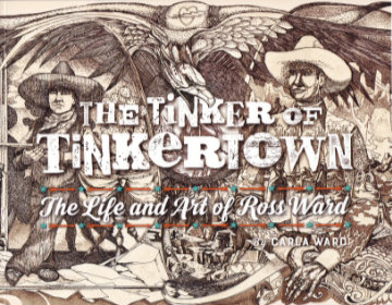 I guess my purchase of this book fits the technical description of an impulse buy, but I sure don’t think of it that way. Yes, I bought it without a hint of hesitation the instant I learned of its existence and there was certainly a lot more emotion than logic involved in the decision. But I sincerely believe that the logical part of my brain had long ago decided that acquiring this book was something I needed to do as soon as it existed. If it ever did.
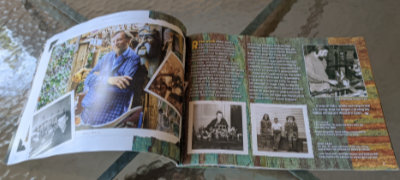 Sometime between the book being ordered and its arrival, I revisited its description and noticed its length of thirty-six pages. I wasn’t worried but I did wonder how Carla could tell Ross’ story in just three dozen pages. The answer, as I think I already knew, is “Just fine.” She tells it with pictures and just enough well-chosen words to properly place those pictures in Ross Ward’s life and to tell some details of that life that the pictures do not.
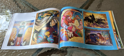 There are several delightful photos of Ward, but the bulk are of his art and the bulk of those are in a section of “2D Work”. It’s a section I found quite interesting as most of its contents are things not displayed at Tinkertown. Items range from posters to etchings to fine art paintings representing nearly every period in Ward’s life. A personal favorite is a circus parade that he drew on thirty feet of adding machine paper at the age of eight.
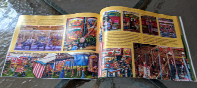 A “Tinkertown” section follows. The pictures in it are of things I’ve seen but that doesn’t make me enjoy it any less. The well-done photos provide an excellent look at the exhibits that got me interested in Ross Ward to begin with. A timeline of Ross Ward’s life appears on the final page.

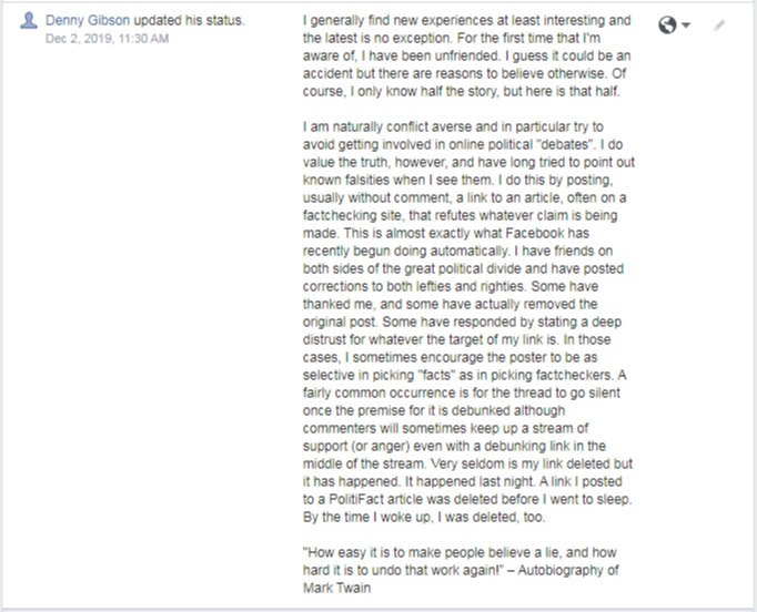
 Back in December, I was unfriended on Facebook for what I believe to be the first time. I can now add being blocked to my list of Facebook experiences. On the occasion of the unfriending,
  I’ll admit that the guy was kind of fun to watch and in some odd way, I might even miss his strings of commas and other “creative” bits of punctuation now and then. But in my heart, I know this breakup was for the best. I’ve never unfriended or blocked anyone, but during the leadup to the 2016 election, I did temporarily stop following some people. I suspect I’ll have to do that again in the next few months. Unless, of course, some more trash takes itself out.
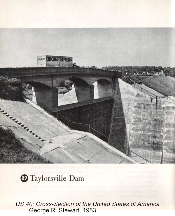