
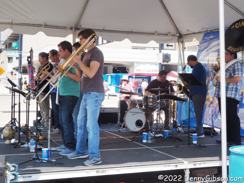
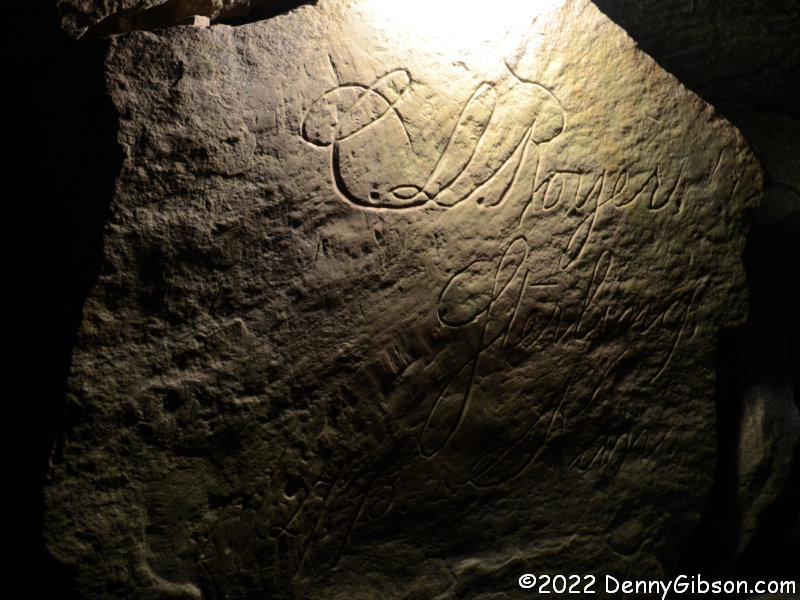
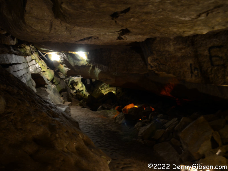
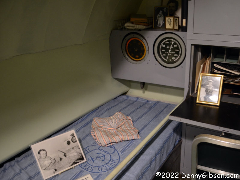
 …did not carry me too far away but it did carry me nearly a century into the past.
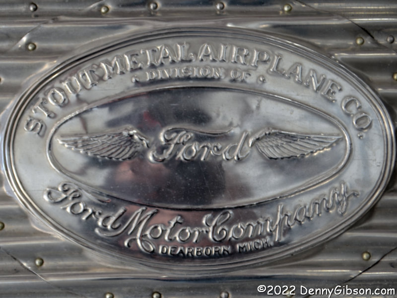
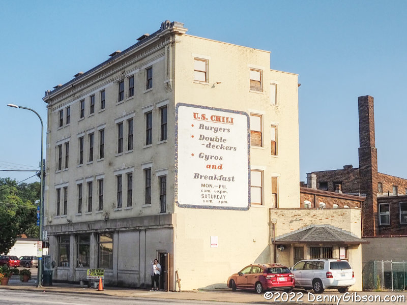
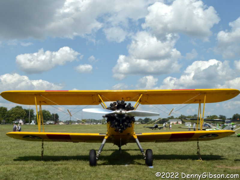
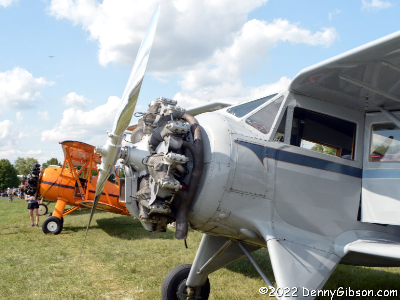
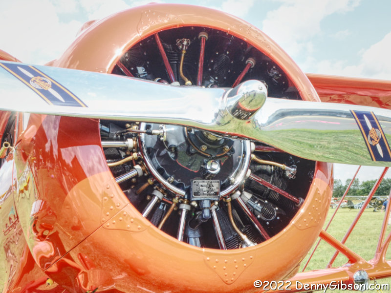
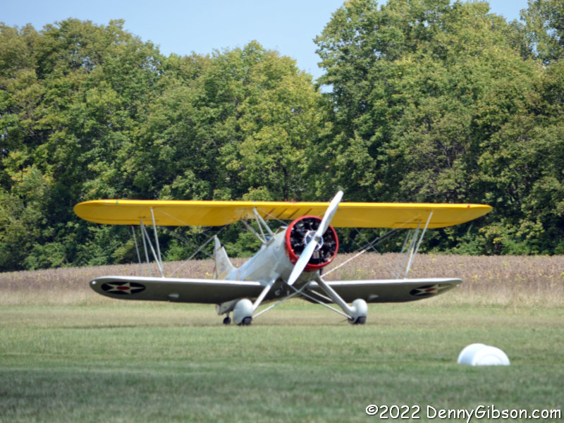
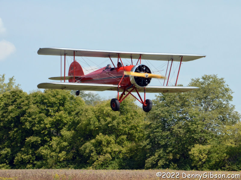
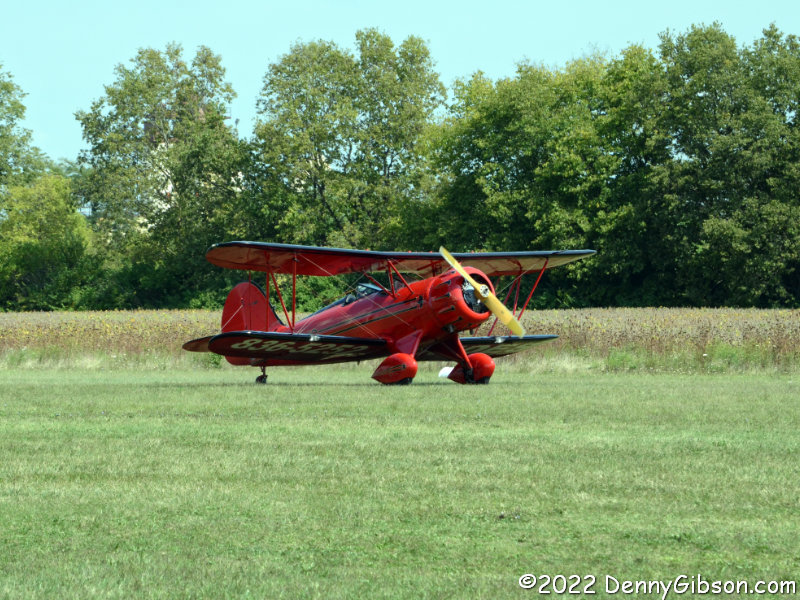
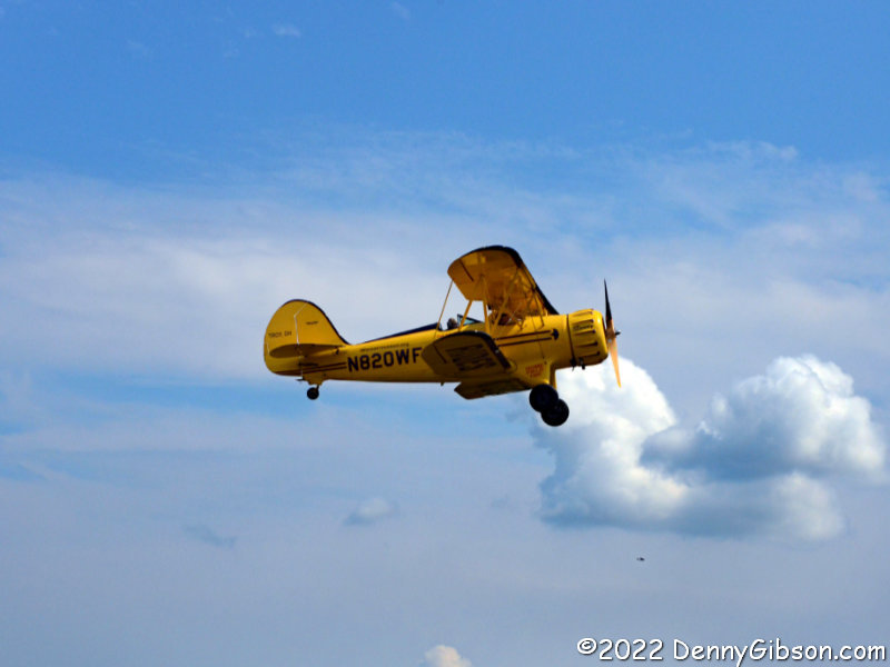
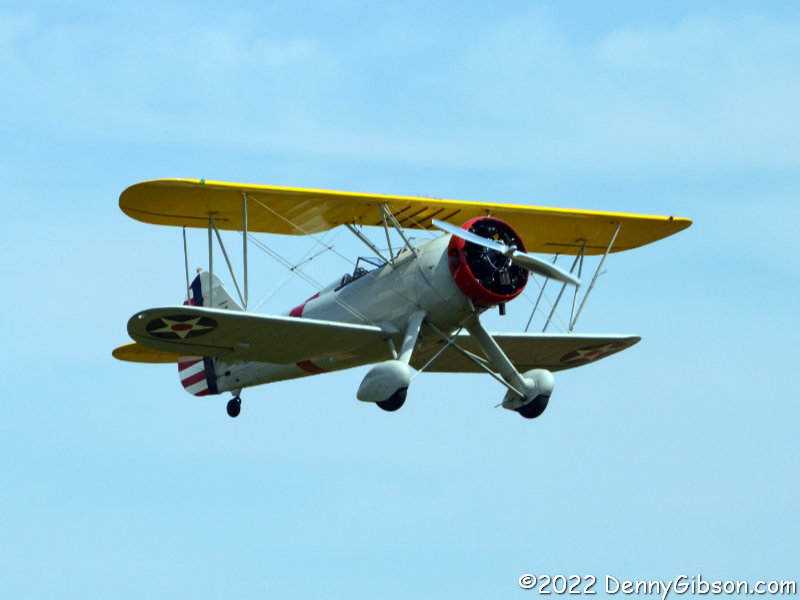
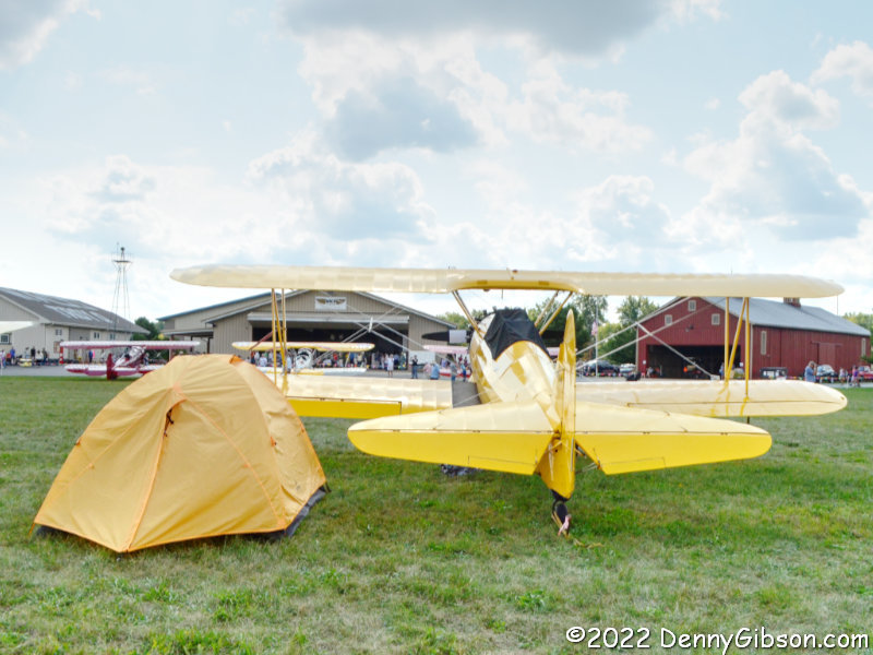
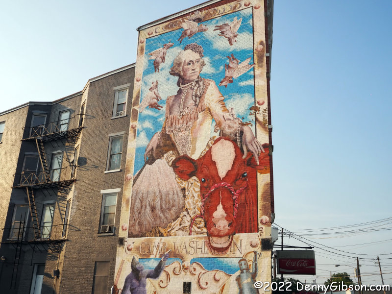
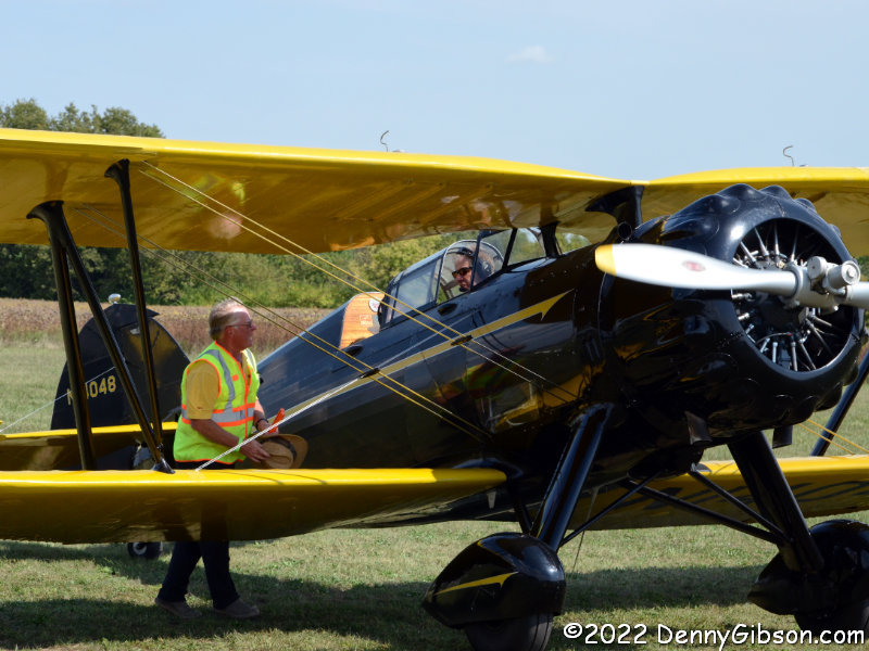
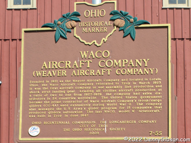
In 1922, Henry Ford invested in the startup Stout Metal Airplane Company then purchased the entire outfit two years later. The most notable of numerous modifications made to Stout’s original design was the addition of two engines. Ford Tri-Motor production began in 1926 and ceased in 1933 which coincided almost exactly with the period when the Waco Model 10 was produced. There were several Model 10s present at the Waco Fly-In I attended a couple of weeks ago.
 Ford produced 199 Tri-Motors in a span of eight years. In one year less (1927-1933), Waco turned out 1,623 Model 10s. Both airplanes were civilian passenger planes and both were icons of the early days of human flight but similarities between the two don’t go far beyond that. The Ford was all metal while the Waco was mostly cloth-covered wood. The Waco was an open bi-wing with a compartment for two passengers positioned in front of one for the pilot. The Ford was totally enclosed with a pilot and co-pilot sitting ahead of, depending on model, up to seventeen passengers. With a stewardess often part of the crew, it is generally thought of as the first airliner. That these two aircraft were contemporaries and both highly successful is certainly food for thought.
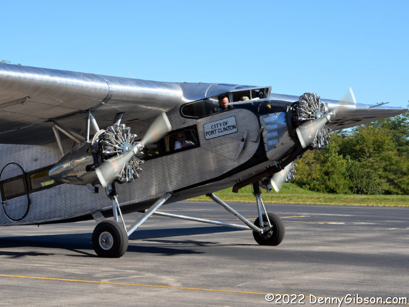
 As of Friday, I can list another difference between a Waco 10 and a Tri-Motor. I have never flown in a Waco. On Friday, I took a ride in a Ford Tri-Motor 5-AT-B at the Greene County Airport near Xenia, Ohio. As was the case with the subjects of a couple of last year’s adventures (Smooth As Glass and An Airy Plane Ride), I learned of the touring Tri-Motor through Brandi Betts’ Make the Journey Fun blog. Brandi flew in the plane during its Chillicothe stop and reported on it here.
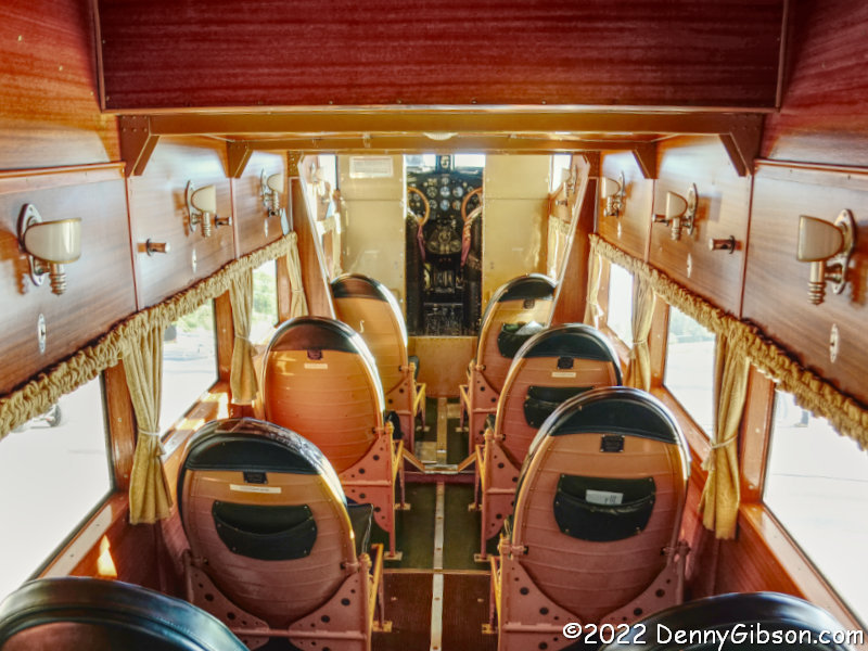
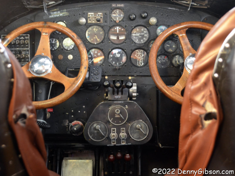
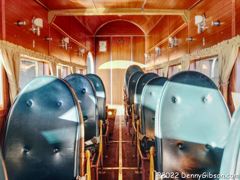 I guess I was eager to fly like it was 1929 and arrived at the airport before the airplane was even rolled out of the hangar. While chatting with some of the event organizers, I was told it was OK to step inside the plane for some photos which is how I got these shots of the empty interior. Sharp eyes might notice that not everything is triplicated in the cockpit. Tachometers plus pressure and temperature indicators for the outboard engines are mounted on wing struts near the engines.
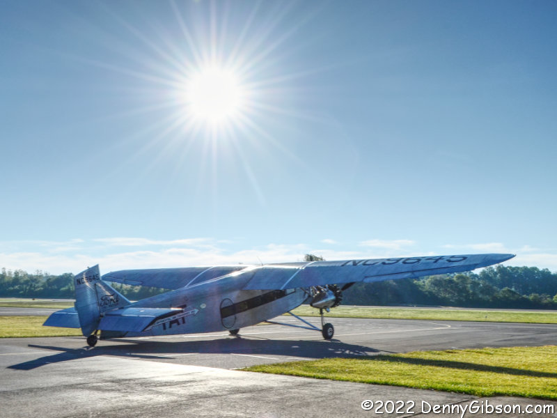
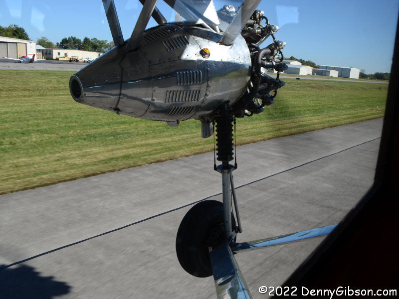
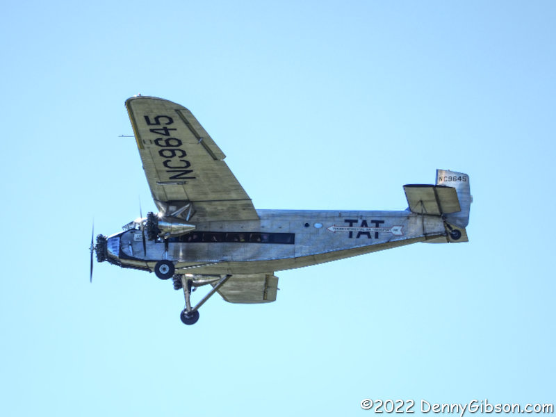
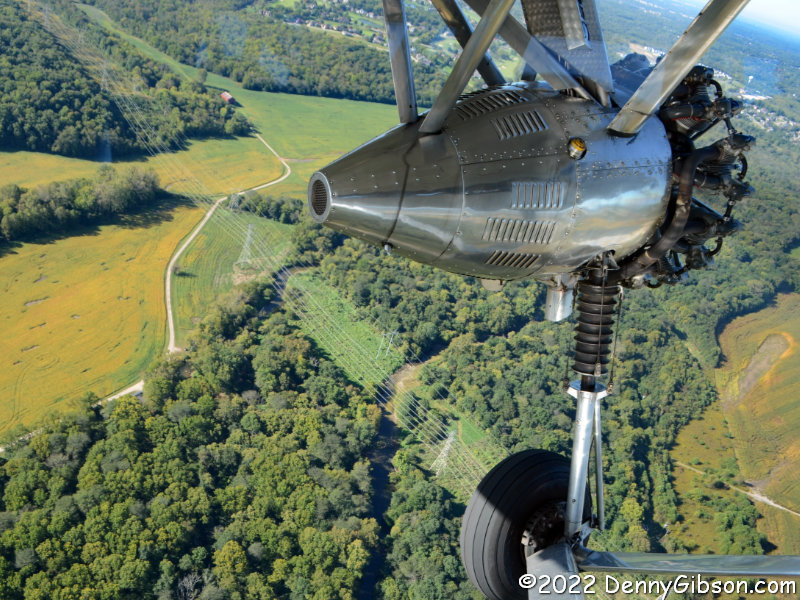
 Before the day’s first flight, the Ford was taxied down the runway for refueling and I was able to watch the three radial engines fire up and the propellers start turning. The into-the-sun shot near the top of this post was also taken at the start of the gas run.
 Shortly after the plane’s return, the first set of passengers was given a short briefing and permitted to board. Note that every seat is a window seat and every seat is an aisle seat. Six of the ten seats as well as the extra-charge co-pilot’s seat were occupied by males of a certain age. The other seats were empty.

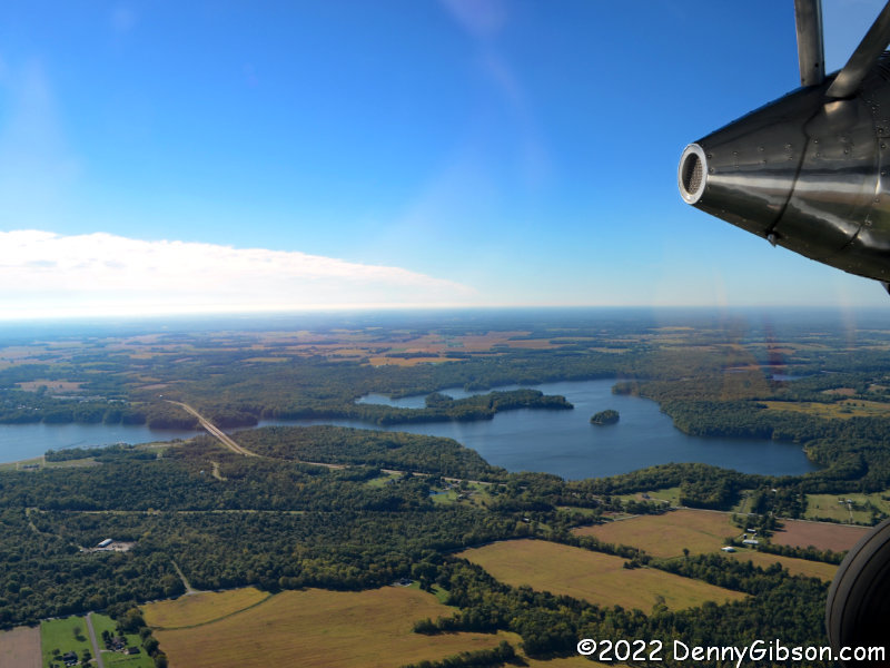
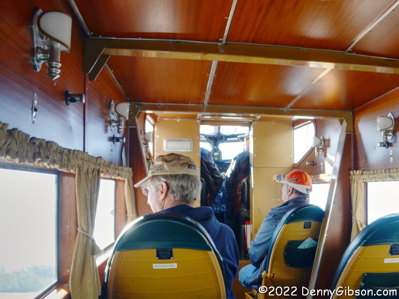
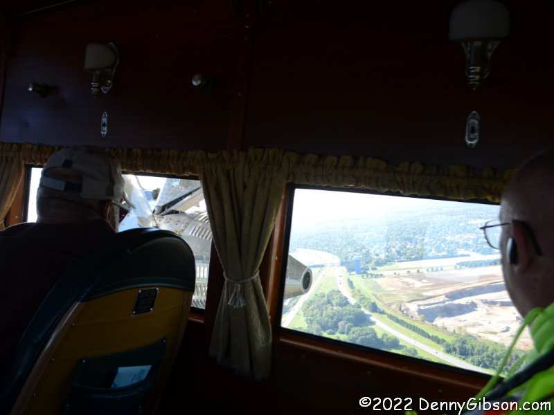
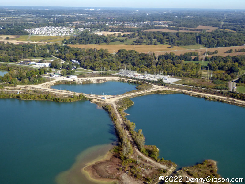 Not only was every seat a window seat, the windows were real windows and not those too-low and too-small foggy portholes found in today’s airliners. It was even possible to look out the opposite side of the plane. Photos here are of the water-filled gravel pits northeast of the airport, OH-73 crossing Ceasars Creek Lake, and downtown Dayton from eight or ten miles away. Plus I got a pretty good look at the ground during our final bank to return to the airport,
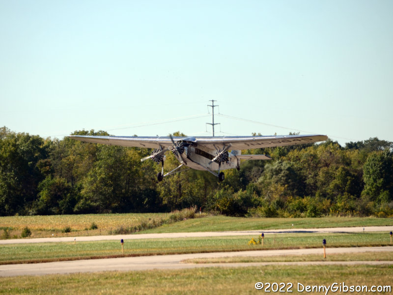
 Assuming the event is more heavily attended during the weekend, showing up on Friday morning worked out well in avoiding crowds. The downside was that I wanted to take photos of the next flight and I had to wait a while for it to fill. When it did, I again got to see those props start turning then watch the plane head into the sky.
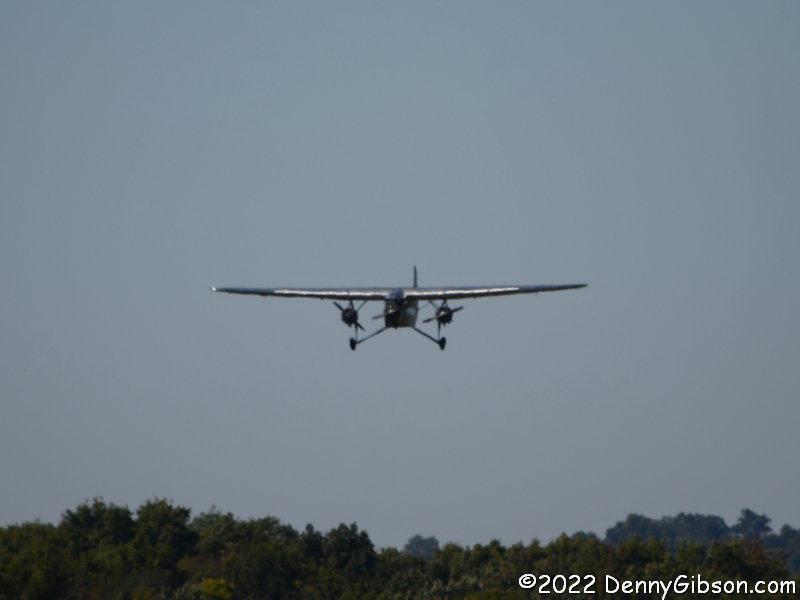 Flights are about half an hour from engines on to engines off with fifteen to twenty minutes of that being airborne. Having waited to see the takeoff, it only made sense to wait for the landing.
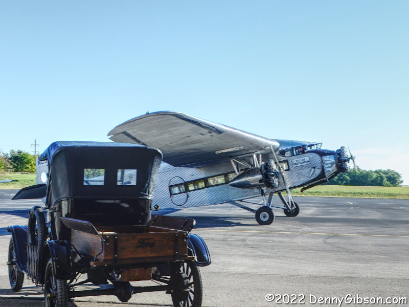
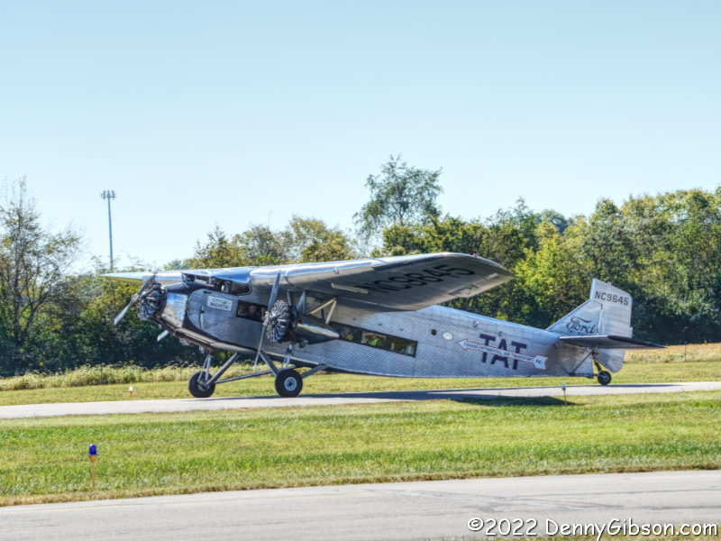
The Transcontinental Ait Transport logo this plane now wears was also the one it wore first. The plane first flew on December 1, 1928, and became the property of TAT in January 1929. Its complete history is told here. The TAT story is a short but important one. Although crossing the continent was not accomplished entirely in the air, the company did put Ford Tri-Motors to work for about a year expediting travel between the coasts. Overnight trains were used to connect New York with Columbus, OH, and Waynoka, OK, with Clovis, NM. Tri-Motors carried travelers between Columbus and Waynoka and between Clovis and Glendale, CA. The fare for a forty-eight-hour one-way trip was $352.
Rides will be available at the Greene County – Lewis A Jackson Regional Airport until 5:00 PM today (Oct 2, 2022) and at some other spots in Ohio, Indiana, and Kentucky during the rest of October. Check it out here.


 Missed it by that much. I had this really great idea for a book title, and even figured out the story that would fit it. I would drive one way across the country on the Yellowstone Trail and the other way on US 20. I would do this in the year 2020, and the resulting travelogue would be perfectly described by that catchy title: 20 in ’20 and the YT Too. But COVID-19 played havoc with 2020 travel plans and the wonderful title’s “best if used by” date came and went. I made the planned trip a year later and adjusted the title appropriately. It’s admittedly not quite the same but it’s not horrible. Is it? Well?


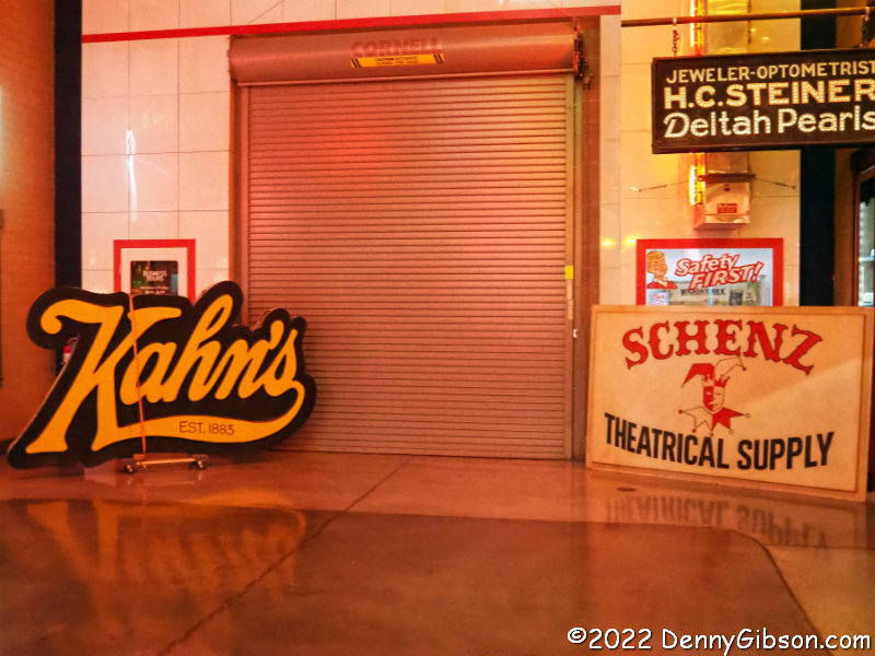
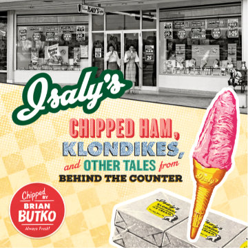 It’s been said you should write what you know. Brian Butko may or may not believe that but there is reason to think he might believe even more in the corollary: Write what you want to know. I frequently get the impression that Butko enjoys the hunt as much as the kill, research as much as publishing, learning as much as teaching. Isaly’s Chipped Ham, Klondikes, and Other Tales from Behind the Counter gives me that impression in spades. This is Butko’s second run at the subject having published Klondikes, Chipped Ham, & Skyscraper Cones: The Story of Isaly’s in 2001. I’m not familiar with the earlier book but know that there is some unavoidable overlap. No surprise there. There is no doubt a multitude of reasons for the redo but I’ll suggest — and this is pure conjecture — that not only was it tackled in order to improve the story with knowledge learned in the intervening twenty years but as an excuse to learn even more.
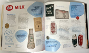 In the middle half of the twentieth century, Isaly’s was a major regional presence whose farms, factories, and stores helped feed a whole lot of people in northeast Ohio and northwest Pennsylvania. The arc of that presence is not unique. It was a family business that saw the success and growth of the first few generations eventually fade away in corporate buyouts. I’ve lived in Ohio my entire life but we missed each other. My neighborhood has been the state’s southwest corner, and the closest Isaly’s ever came to my home was Columbus. Although a few Columbus stores remained in the late 1960s and it’s possible that I saw one, I have no memory of it. The company entered Columbus in 1935, peaked there in the 1940s, and officially began its exit in 1954. Everything I know about Isaly’s I learned from Brian Butko. Brian Butko learned from family members, former employees, company records, newspapers, and libraries.
 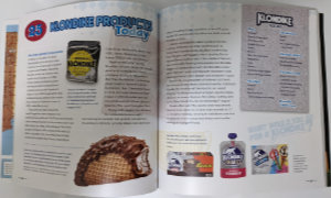 There were other innovations such as Skyscraper Cones, Party Slices, and Klondike Bars. Klondike Bars were the biggie. The only Isaly’s product to have success nationally, they are still available today although they are made by Unilever and no longer bear the Isaly’s name. They do, however, still bear the Isaly’s bear.
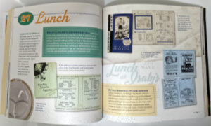 Unlike me, Brian has plenty of personal Isaly’s memories. He says that his earliest was of their macaroni and cheese. His excitement is evident when given access to a 3-ring binder of company recipes. He finds the sought-after Baked Macroni then writes, “I have yet to try the official recipe…”. The fact that the recipe yields 60 servings might be one deterrent but I think I also detect a little fear that today’s result might not live up to yesterday’s memories. I, for one, encourage Brian to face his fear and look that macaroni right in the elbow. Finding 59 mac & cheese eaters should be easy.
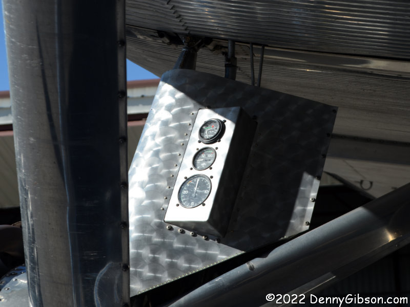