
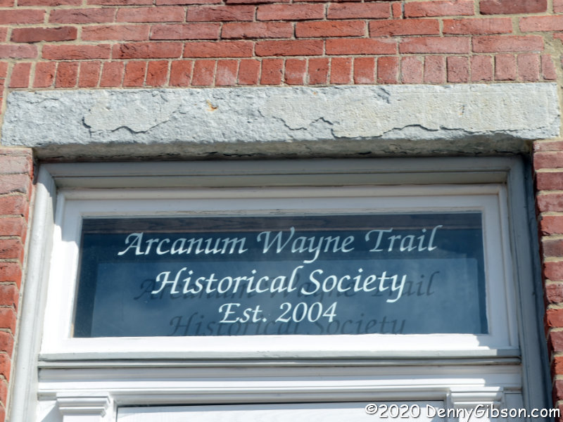
 A sixteen-mile long driving tour some fifty miles from home is what passes for a road trip when cabin fever and a coronavirus collide. Several years ago, the Arcanum Wayne Trail Historical Society folks put together a self-guided driving tour of the nearby area. That area is the southern part of the county where I was raised so the tour naturally interested me. As I recall, when the tour was first announced, there was some sort of museum event associated with the launch. I couldn’t make it but copied the tour description to my phone and plotted the route on my GPS. My intent was to combine driving the tour with a visit to the museum, but it never became a high priority and, with the museum open just one day a month, it never happened. The COVID-19 pandemic has eliminated even that single day of museum operation while elevating my need for some sort of outing. Road trips planned for April, May, and June have evaporated, those envisioned for July are all but gone, and August doesn’t look any better.
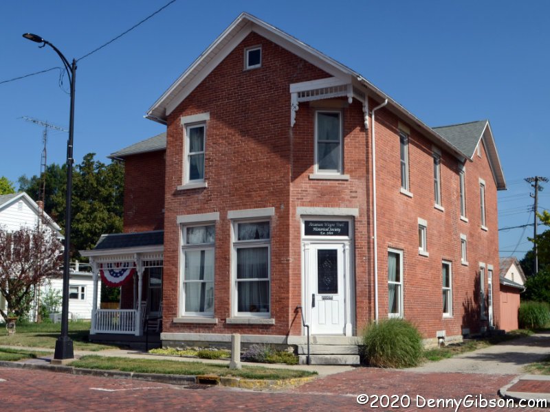
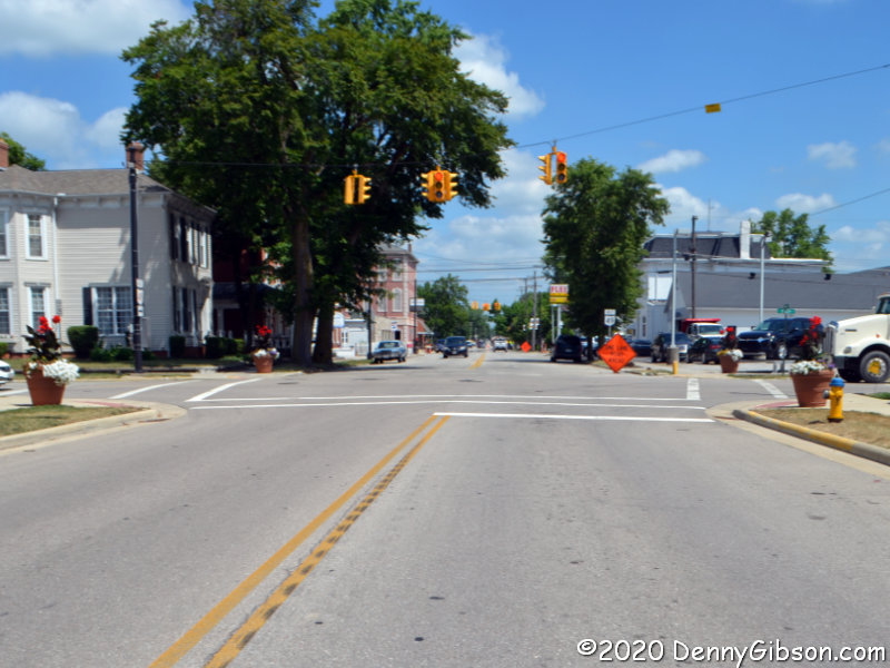
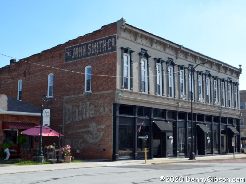 The tour passes one street south of the museum but I stopped by for a picture. The other pictured building is just up the block and some may remember it from this 2017 post. Sadly, the restaurant that was housed in the building and which triggered the post has closed. I’ve since seen a couple more Battle Ax Plus signs, but this was the first.
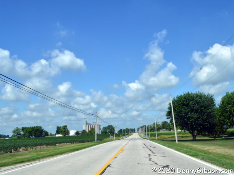
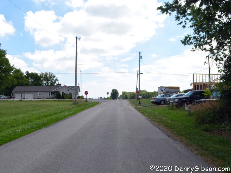
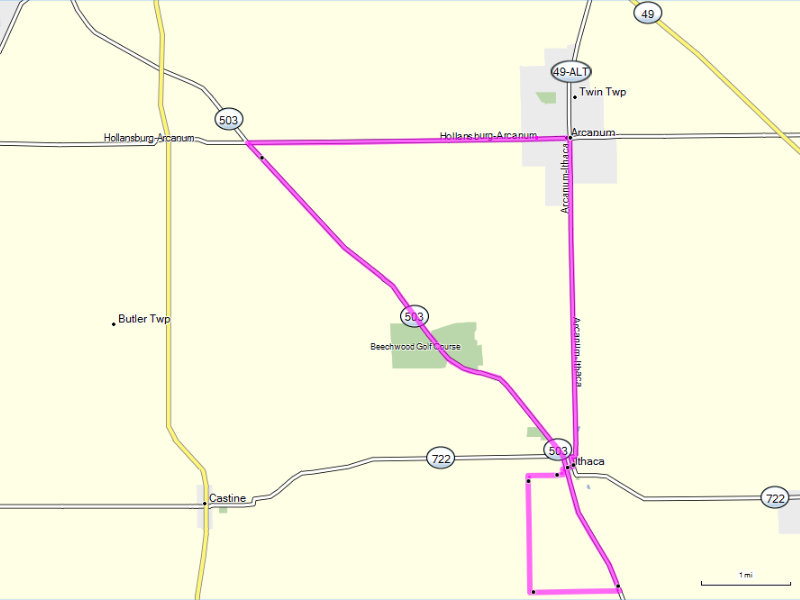
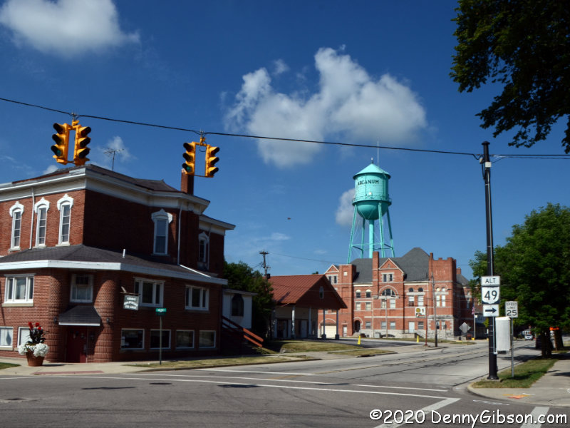 Arcanum’s Main Street runs north and south. I’m guessing that George Street, where the museum sits, was the original main east-west street since the first street north of it and the first street south of it are called, respectively, North Street and South Street. The tour begins at the intersection of Main and South and heads west, toward the water tower, on South Street. Arcanum isn’t a large town (population 2129 in 2010) so it doesn’t take long to reach open countryside.
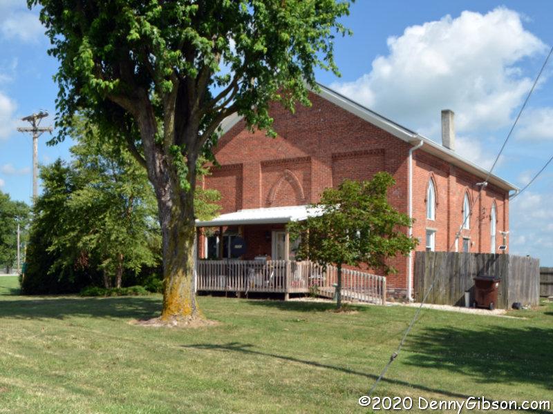
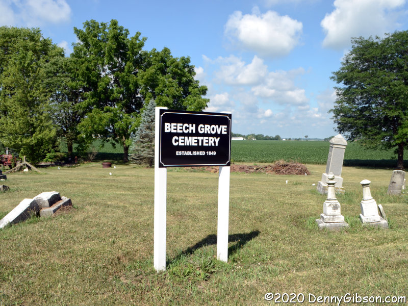
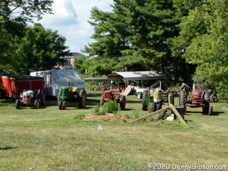 South Street quickly becomes Arcanum-Hollansburg Road and intersects State Route 503 in just a few miles. At the corner, a church that was once part of a settlement named Beech Grove has been converted to a home. The tour turns south here, but I headed a short distance north to pause at the cemetery. Someone keeps the cemetery mowed but there is little evidence of any other sort of maintenance. A neighbor’s tractor display helps make the stop worthwhile.
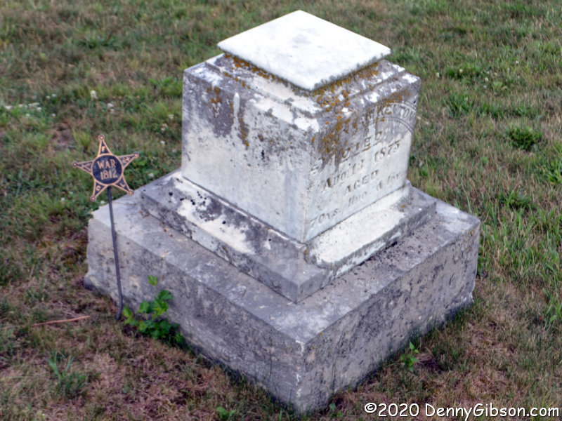
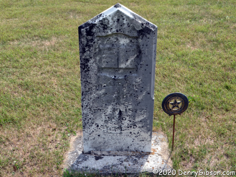
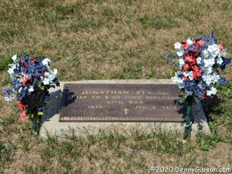
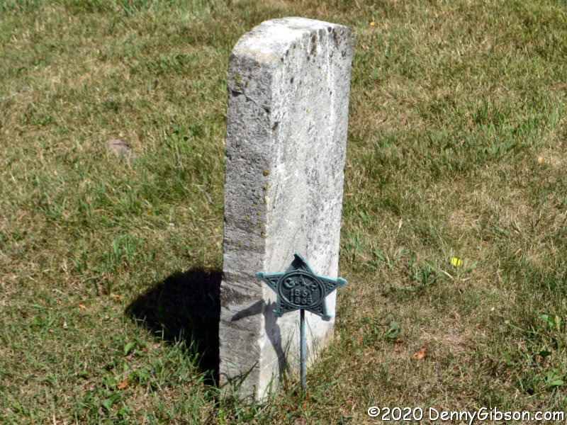 I returned to the tour route and followed it to another cemetery. This is Ithaca Cemetery just north of the town by that name. Going backwards in time, we have veterans of the Civil War, Mexican War, and War od 1812. There are quite a few Civil War veterans buried here including one with a modern military plaque. That sort of plaque is common but I don’t recall ever seeing one for a Civil War vet. Sure is easier to read than weathered stone.
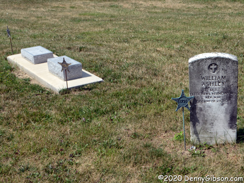
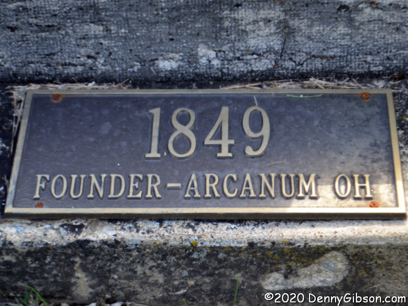
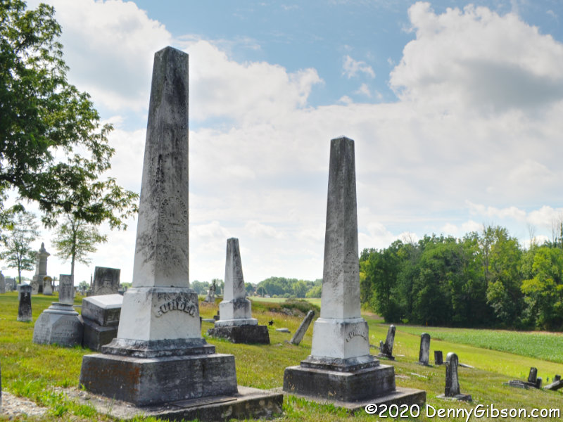 The tour description identifies four burials of significance here but I only managed to locate two. The first is Arcanum’s founder, William Gunder, who is buried next to his wife Nancy. The other is Revolutionary War veteran William Ashley although calling it a burial isn’t really accurate. Ashley was buried on a family farm nearby and when a new owner refused public access to the site, the marker was relocated here. Presumedly, Ashley himself was not moved. The other markers in the picture are for Revolutionary War veterans Ezekiel Farmer and William Walker. These are fairly recent additions and are not mentioned in the tour description. My guess is that these are also markers only.
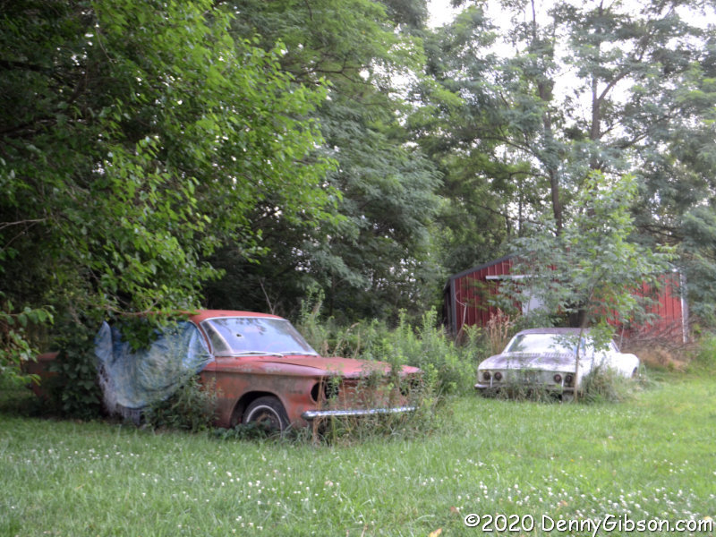
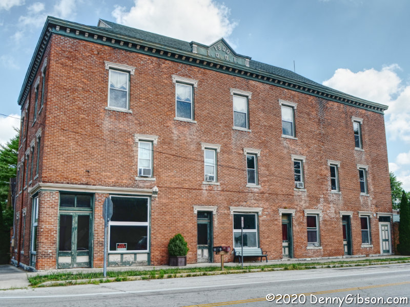 The tour makes two passes through Ithaca. The directions discuss the impressive three-story I.O.O.F. building on the second pass but I paused for this photo when I entered from the north. The two passes actually overlap only at this intersection. This small crop of Corvairs, which look overly ripe and may have missed their harvest date, is at Ithaca’s western edge.
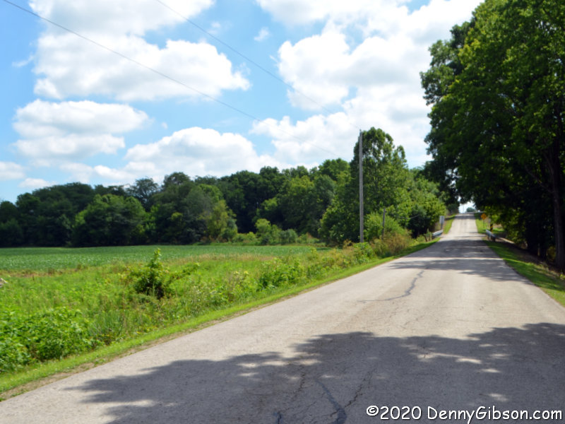
 This is Darke-Preble County Line Road and, since I’m on the south side driving east, I may actually be in Preble County taking these pictures. The trees and bridge mark Miller’s Fork which is, according to the tour directions, “the speculated location of the first settlement of white people in southern Darke County.” The second picture is of the intersection with OH-503 which once contained a toll house, a one-room school, and the aforementioned Ashley farm. The tour directions do not indicate where the farm was in relation to the intersection so the location of William Ashley’s remains may or may not be in the picture.
 The tour heads north on OH-503 but turns off of it on the second pass through Ithaca. It then returns to its starting point on Arcanum-Ithaca Road which becomes Main Street at the city limits. It was great to get out and drive some back roads even if it was for less than two hours including graveyard loitering. It helped with road trip withdrawal for the very short term, but overall it may have aggravated it by reminding me of what I’m missing.


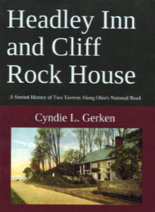 Cyndie Gerken’s third big helping of National Road knowledge was served up a bit more than a year ago, and I have no good excuse, or even enough bad ones, to account for waiting so long to take a look. Of course, once I did, the same accuracy and thoroughness that marked her earlier books were instantly apparent in this one. In 2015, she documented Ohio’s National Road mile markers with
 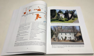 Both of the book’s subjects appeared almost immediately after the National Road passed by the land they would occupy. The first section of the Cliff Rock House was completed in 1830 and the Headley Inn’s first section in 1833. Other dates have appeared in articles and even on signs but Gerken sorts through the various claims and presents a solid case for these dates. Both structures have been enlarged and modified over the years. Despite their nearness to each other, the inns were constructed and operated independently by two separate families. That has not always been the case although it is again today.
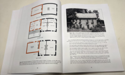 It is generally thought that the Headley Inn initially served as a stagecoach stop while the larger Cliff Rock House catered more to drovers herding sheep and other animals to market. That sort of division was never iron clad, of course, but that kind of thinking does serve to justify the two businesses being so close.
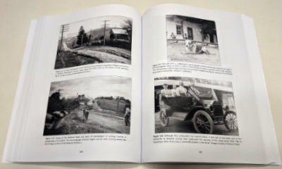 Living memory provides even more input to the post-tearoom era and here the living memory is sometimes Gerken’s own although it is more often her personal interviews with the short series of owners. The book is heavily illustrated with historical photos, maps, diagrams, newspaper clippings, and more. Modern photos include many taken by the author herself.
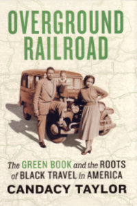 “This is not a book about the history of road-tripping and black travel”, is the first sentence of the last paragraph of the introduction. That’s something I knew long before I read it. It was something Candacy Taylor said early in the presentation I attended in Indianapolis back in February. It may even have been something she said during another presentation of hers I attended back in 2016. I discovered Taylor the same way she discovered the Green Book. Well, not exactly the same way. She learned of the Green Book while doing research for a Moon Travel Guide on Route 66. I learned of Candacy Taylor as a mere attendee at a conference on the historic road. Research for the book was well underway when Taylor spoke at that conference in Los Angeles but Overground Railroad: The Green Book and the Roots of Black Travel in America was still a concept. It was a reality when she spoke in Indianapolis, and that’s where I acquired my copy.
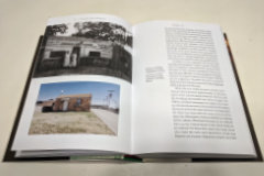 Overground Railroad is heavily illustrated. Taylor’s research for this project included cataloging and visiting businesses listed in the Green Book, and several of her photographs of sites that remain appear throughout the book. She also includes some personal photos. Numerous historic photos along with reproductions from the Green Book accompany the text. A section in the back of the book lists surviving “Green Book sites” and includes Taylor’s photos of many. It is followed by a section with reproductions of every known Green Book cover other than the very first edition of 1936.