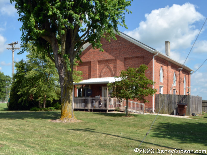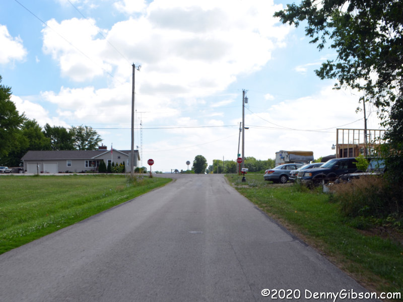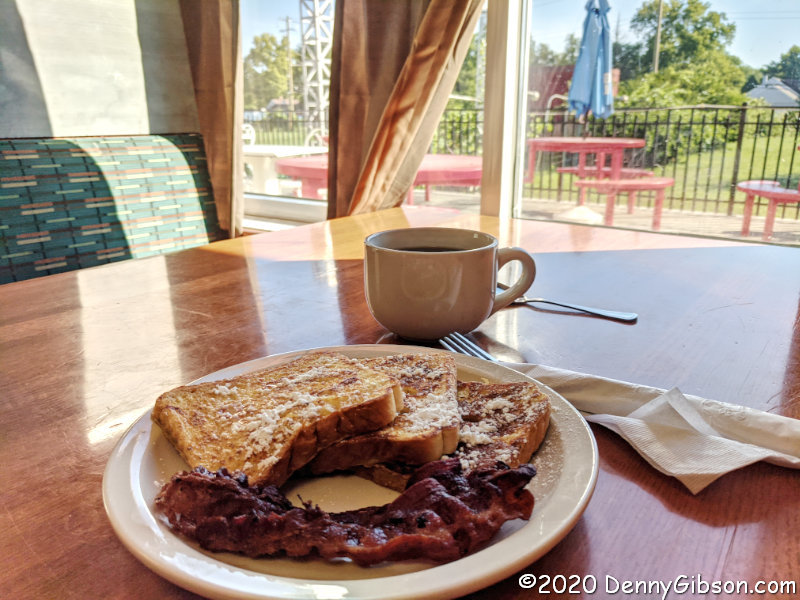
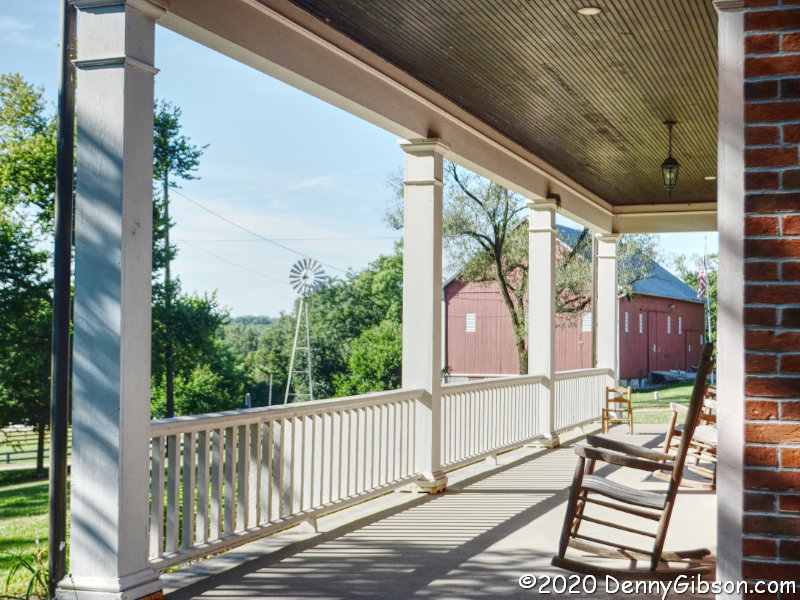
 Parks are pretty good places to go when one of your goals is not getting close to people, and Friday’s extra fine weather made doing something outdoors all but mandatory. I had only recently heard of Chrisholm MetroPark and the fact that it was fairly close to another park I’d been thinking of revisiting made it the choice for my first stop of the day. The opening photo was taken from the east end of the full-width porch on the front of the Augspurger House.
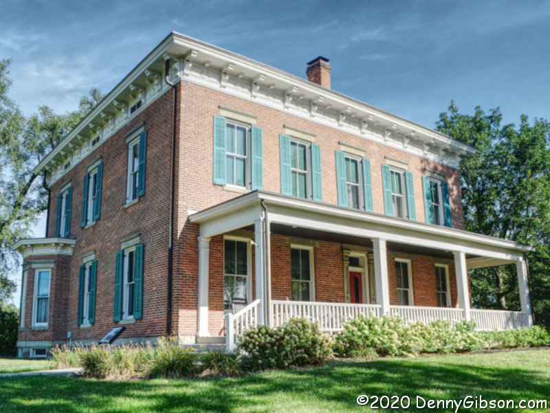
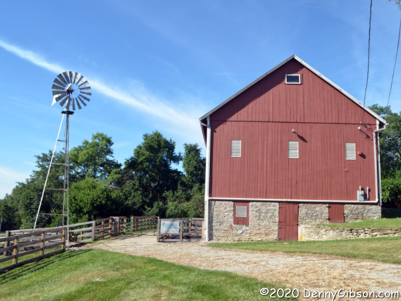 In normal times, tours of the Augspurger House are given on certain days but that has been curtailed by COVID-19. There was no apparent activity at Rosemont Barn, either. In fact, the only non-visitor I saw was a fellow doing some mowing in a field on the far side of the barn.
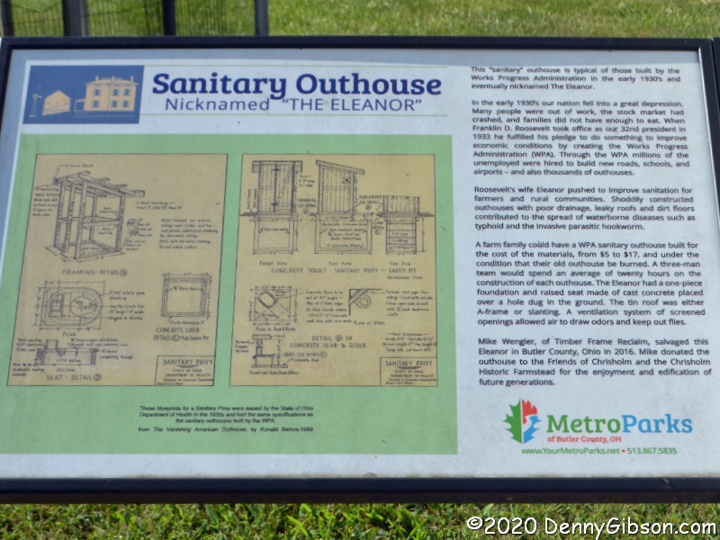
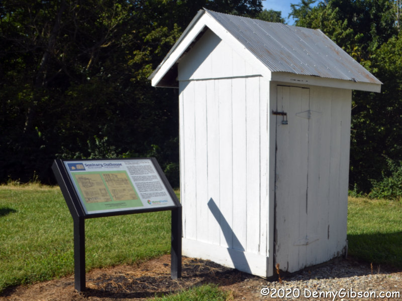 This turned out to be the most interesting building in the park today, and I think it would be quite interesting even with house tours and a critter filled barn as competition. The interesting part is that, as the sign explains, it is one of thousands built by the Works Progress Administration. Existing outhouses were often quite shabby with poor drainage. For the cost of materials, the WPA would construct a properly designed sanitary outhouse. The WPA was the brainchild of Franklin Roosevelt and his wife was the major proponent of this effort to improve sanitation in rural areas. The tidy tiny buildings became known as Eleanors.
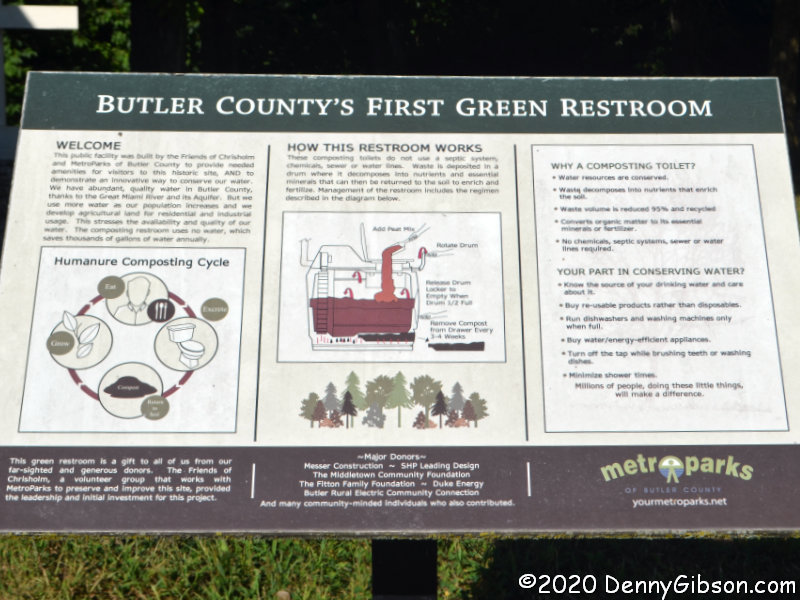
That’s just one of the things I learned today. I also learned a new word. The park’s real restrooms are next to the restored (but unused) Eleanor. They are currently closed and I didn’t even get a picture of the building but I did get a picture of a sign describing them and teaching me a new word. Described as “Butler County’s First Green Restroom[s]”, the composting restrooms deal with “humanure”.
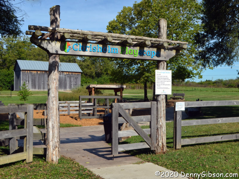
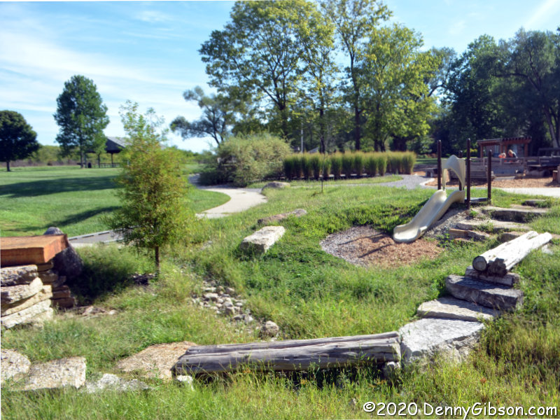
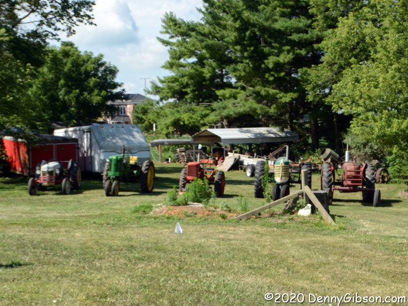
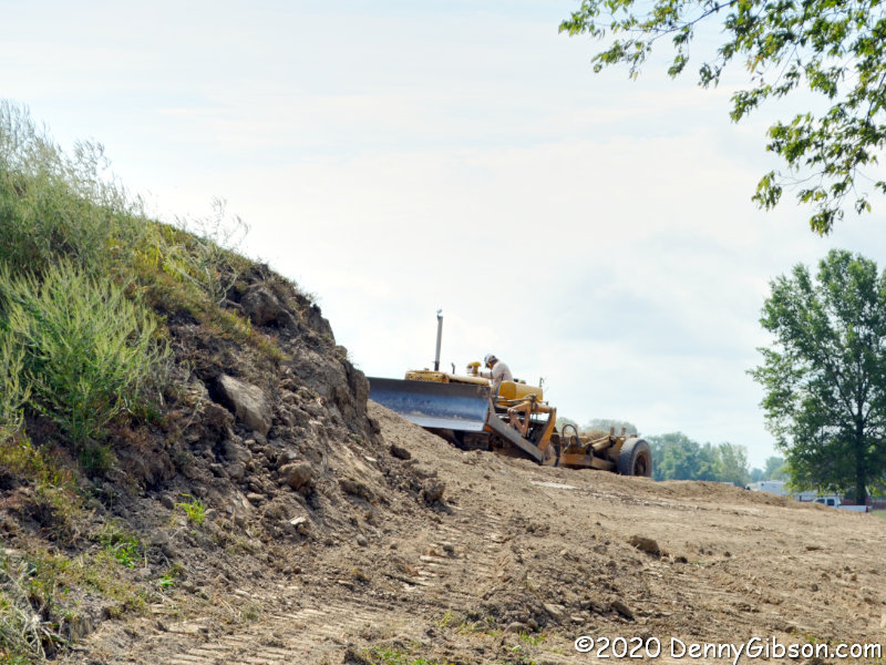
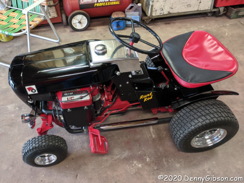
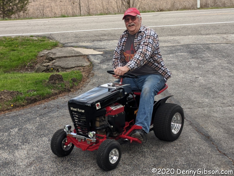
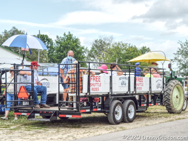
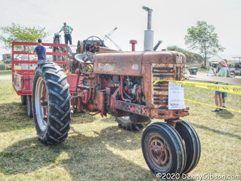
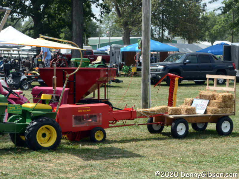
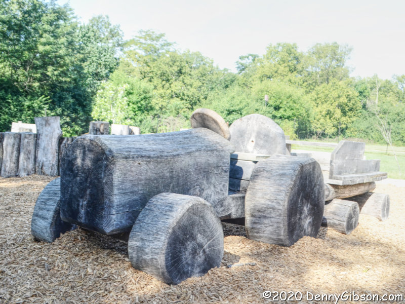 Half of the visitors I saw in the park were at this very cool Playscape. On the way out, I drove by a couple walking their dog, and here I encountered a mom and daughter having a great time on the rustic-styled playground equipment. They do appear as two dots in the background of the second picture, but I really tried avoiding them in my pictures which meant waiting to photograph the tractor while mom was in the wagon being pulled “very fast”.
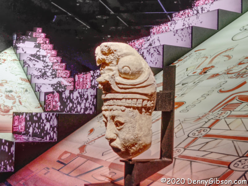
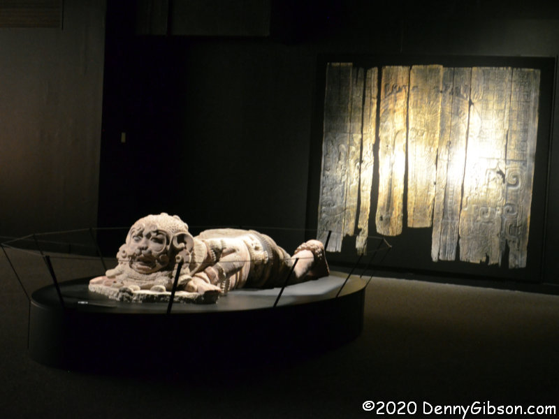
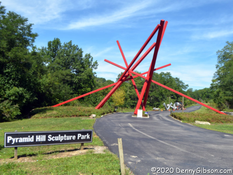 Pyramid Hill Sculpture Park is a little more than eight crow miles from Chrisholm MetroPark. My most recent visit was last December for the Holiday Lights. Today was a reminder that I need to come in the daytime more often and I probably need to pack a lunch. I also need to schedule better so that I am here when the indoor Ancient Sculpture Museum is open.
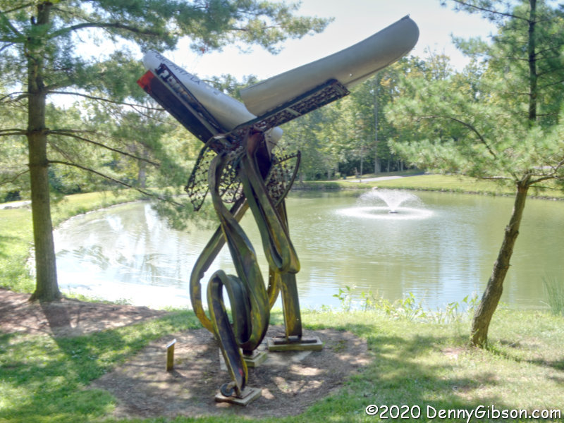
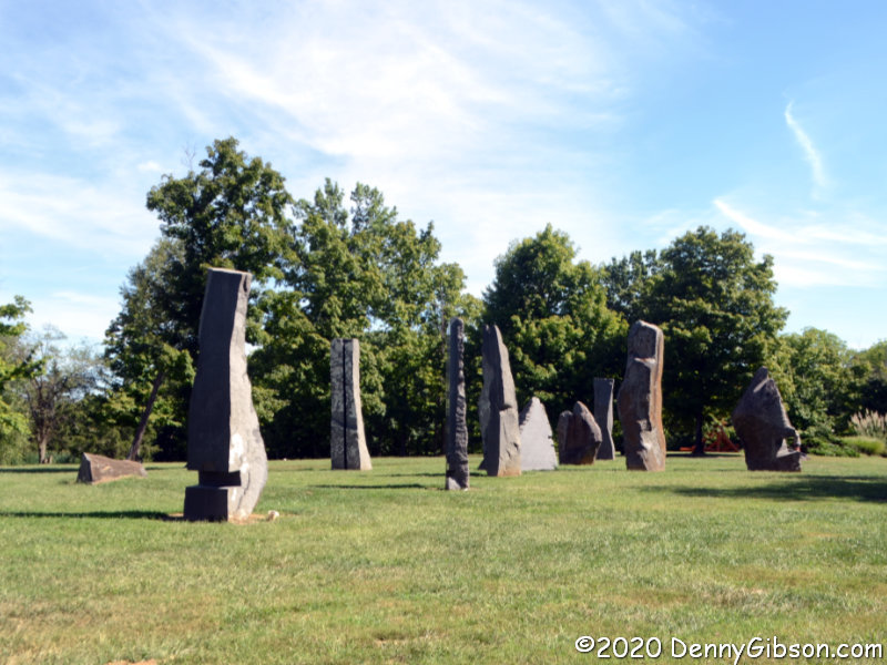
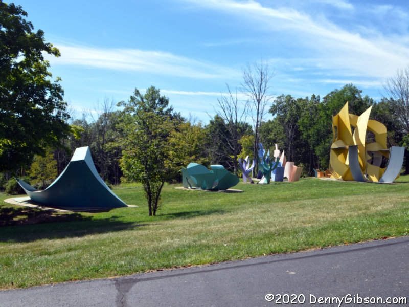 I started off misreading the map so was sort of walking around randomly for a bit. That’s not a problem, of course, as there are sculptures and scenic backdrops everywhere. These photos were chosen about as randomly as my path. The first is of Greg Loring’s Life’s Twists and Turns. The second is Age of Stone by John Isherwood, and the third is George Sugarman’s Garden of Sculpture.
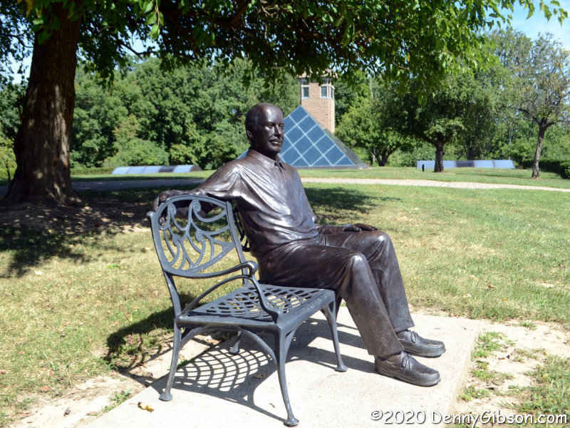
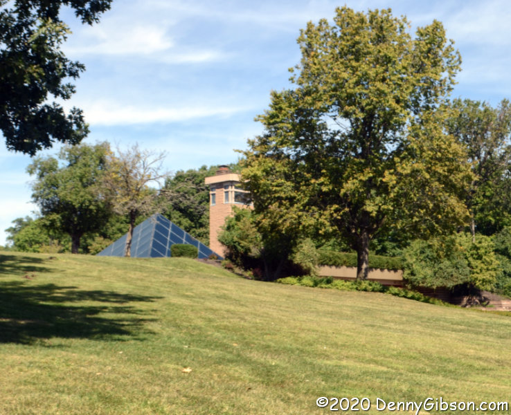 Harry T. Wilkes, the man responsible for creating the park, built and lived in this pyramid topped home that gives the park its name. His 2014 obituary describes him well, and John Leon’s lifesize sculpture gives him something of a continuing presence in the park.
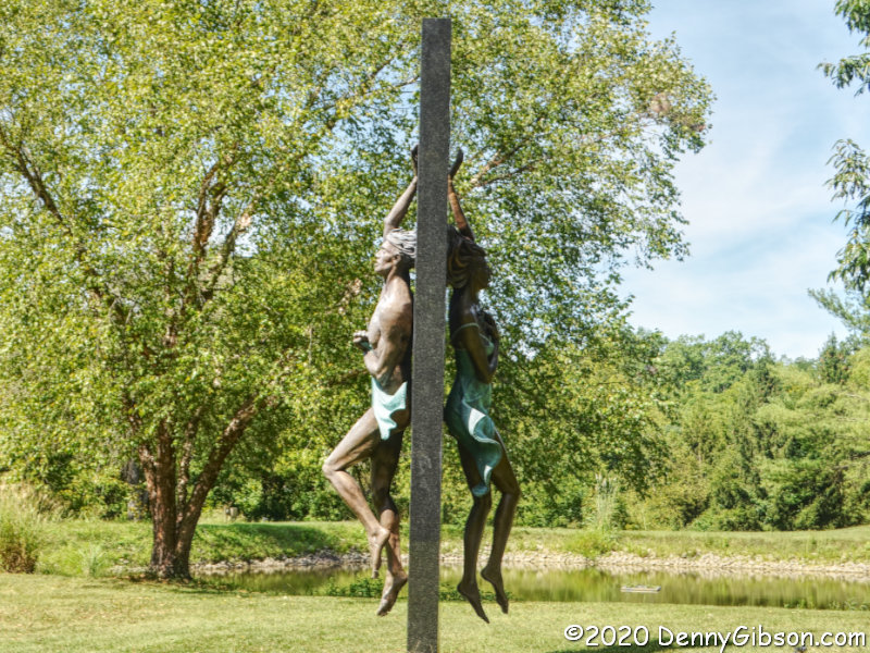
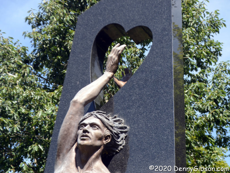
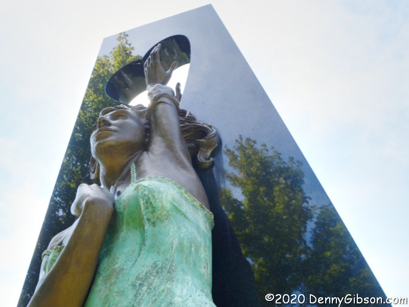 With more than a hundred sculptures displayed on 300+ acres, there is no shortage of things to look at or photograph. I did not photograph everything I saw but I came away with enough photos to overflow this blog post and probably a couple more. In fact, I took enough photos of just this one piece to bore most people. I’m wrapping up my visit with just three views of Sam McKinney’s Wherefore Art Thou with Romeo and Juliet reaching desperately to touch each other through the black granite and family conflicts that separate them.
This was my first COVID era visit to 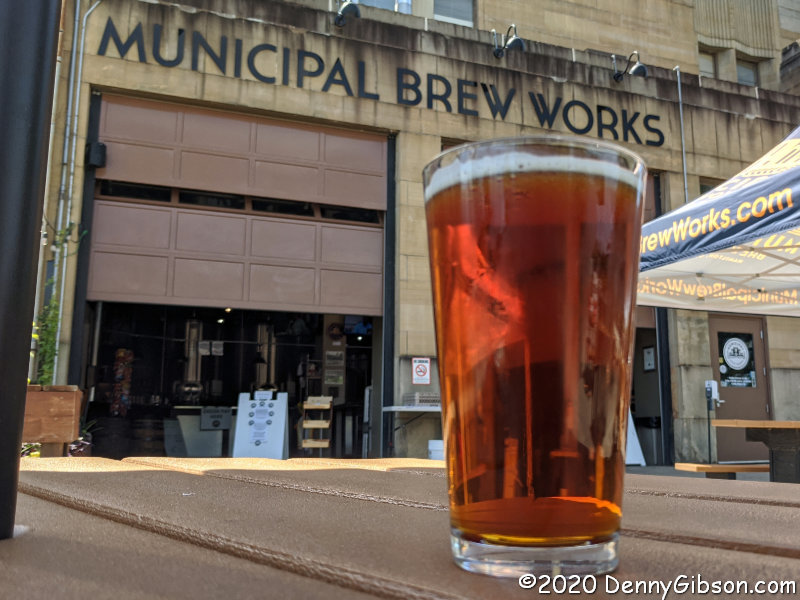 Municipal Brew Works which sits between the two parks in downtown Hamilton. I ordered the 1791 Oktoberfest from mask-wearing servers inside then parked myself at an outside table far from the few other afternoon drinkers. I can’t think of a better way to finish up a temperature perfect day filled with history, art, and sunshine.
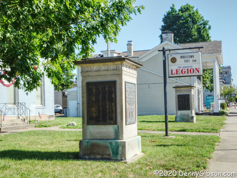
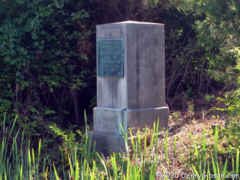
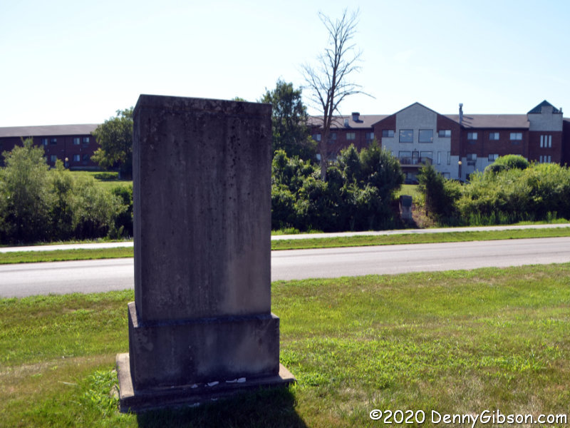
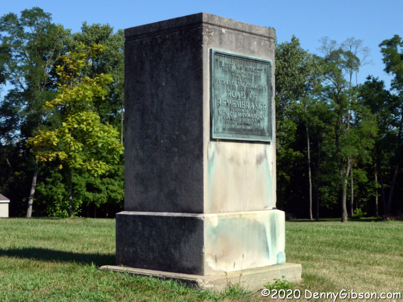
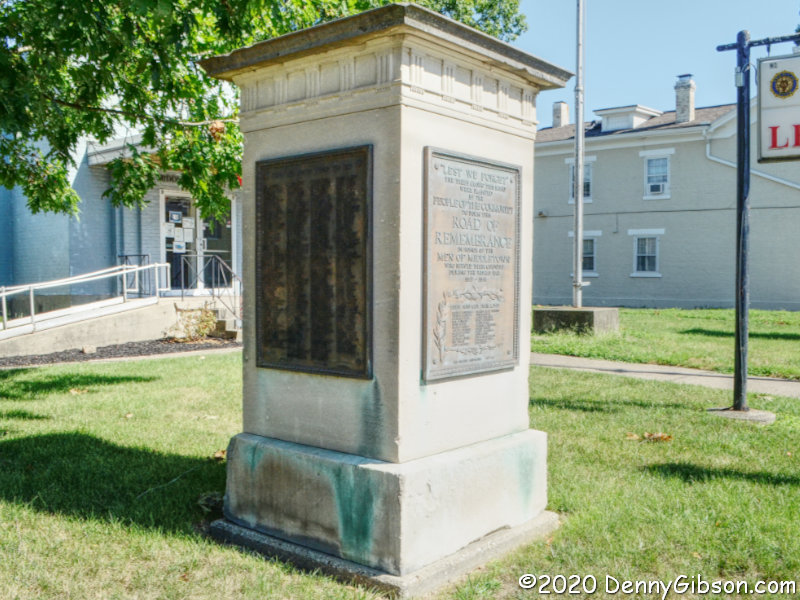

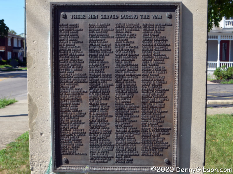
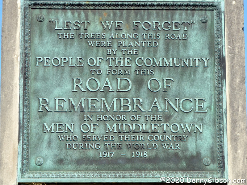
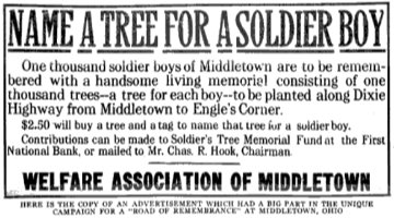 References to the Middletown Road of Remembrance often mention a thousand trees lining a mile of roadway. Both seem to have been considerably exceeded. The markers that now stand at the Legion, originally stood at 14th and Main. The southern markers originally stood about a mile and a half away at Oxford and Main. Plans to construct arches over the road where the markers stood were mentioned, but I’ve seen nothing to indicate that ever happened. Middletown’s Road of Remembrance was dedicated on Labor Day, September 6, 1920, and there are possibly legitimate claims that this was the nation’s first Road of Remembrance to be completed. The ad image is from