
 The two Dixie Highway alignments between Cincinnati and Lexington have been part of my Thanksgiving travels in some recent years. In 2022, I drove all of them both, plus a little more, in a day trip loop. In 2024, I drove pieces of each as I made my way to or from a Thanksgiving meal at a Kentucky State Park. This year, I again drove all of both, but spread the driving over two days.
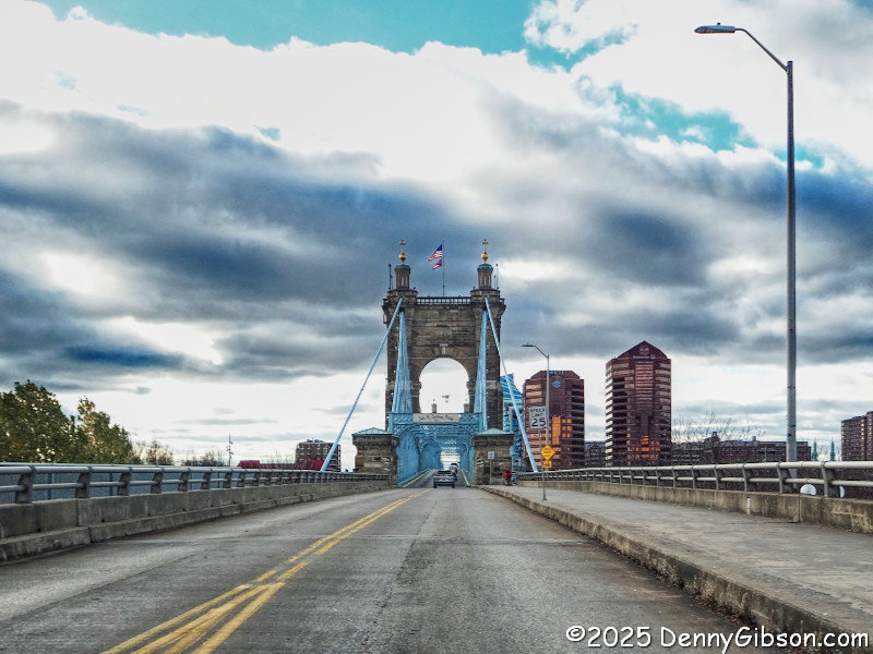
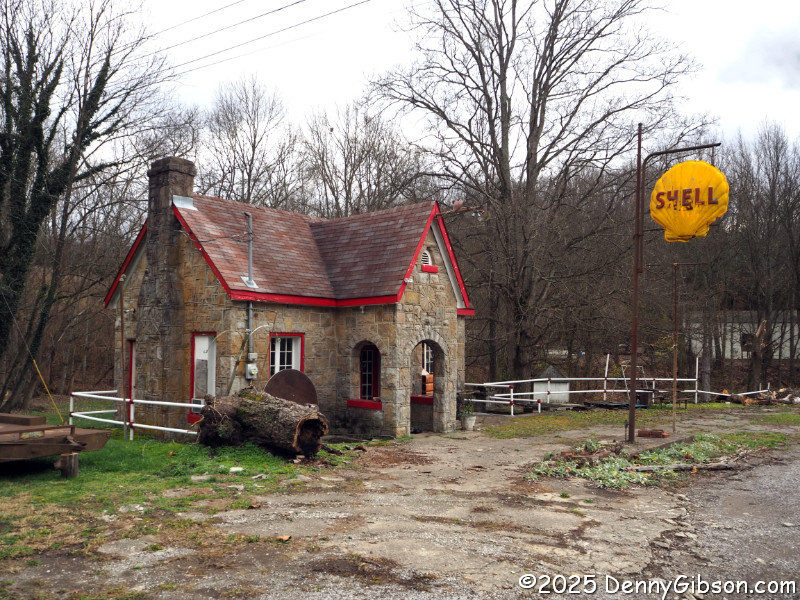
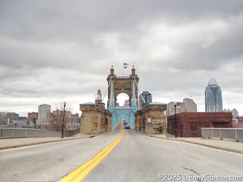
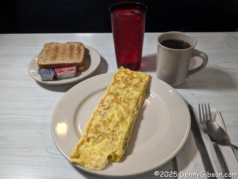
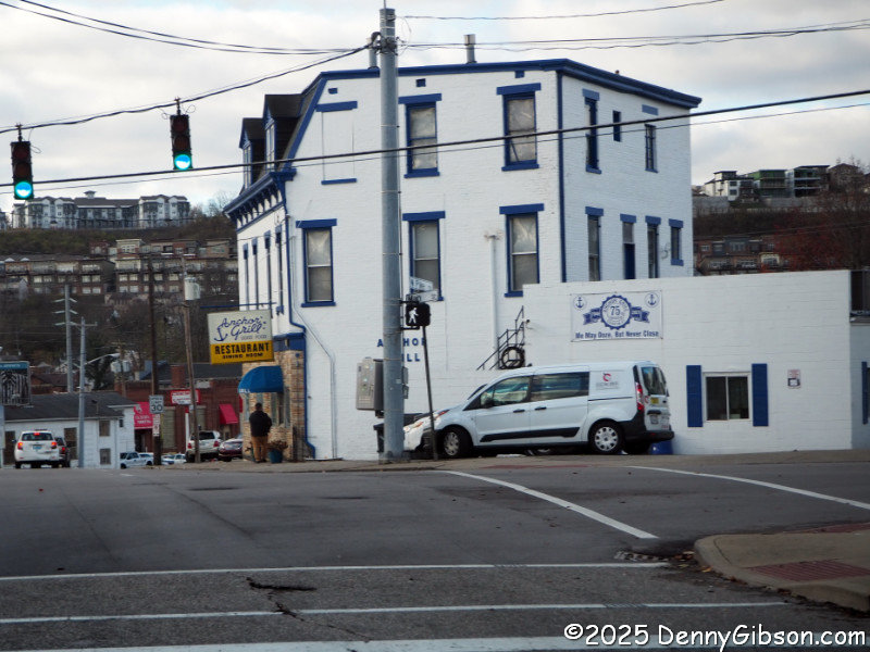 This southbound view of the John A. Roebling Suspension Bridge is probably familiar to some. It has marked the start of quite a few really good road trips. I crossed it on Wednesday morning, then soon turned onto the original (western) alignment of the Dixie Highway. A few blocks later, I pulled into one of my favorite breakfast spots, Anchor Grill, for a goetta and cheese omelette.
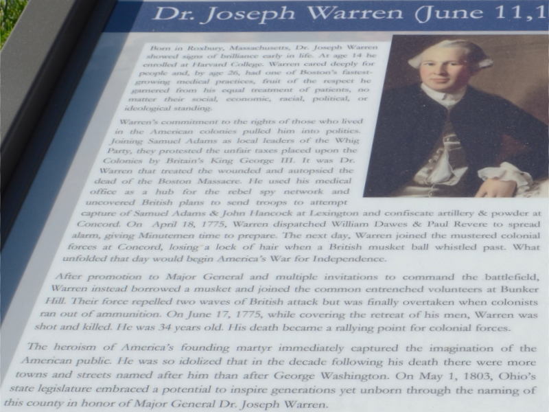
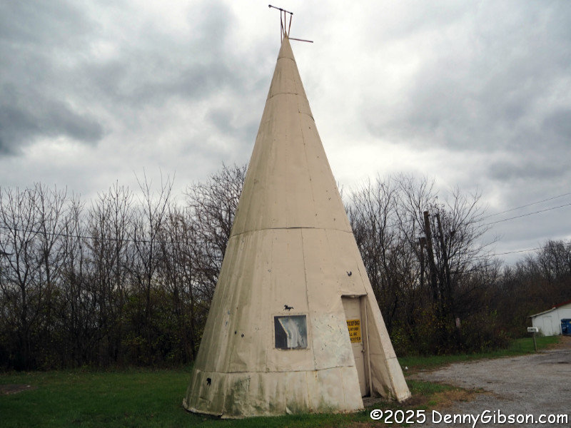 The metal tepee near Williamsburg and Fisher’s Camp near Corinth are familiar roadside attractions on the Dixie Highway. Although not at its original location, the Zero Milestone in Lexington is now where the two Cincinnati-Lexington DH alignments reconnect.
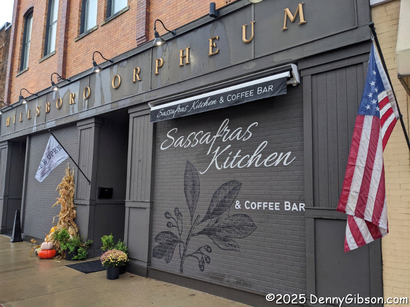
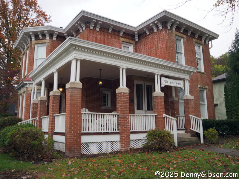
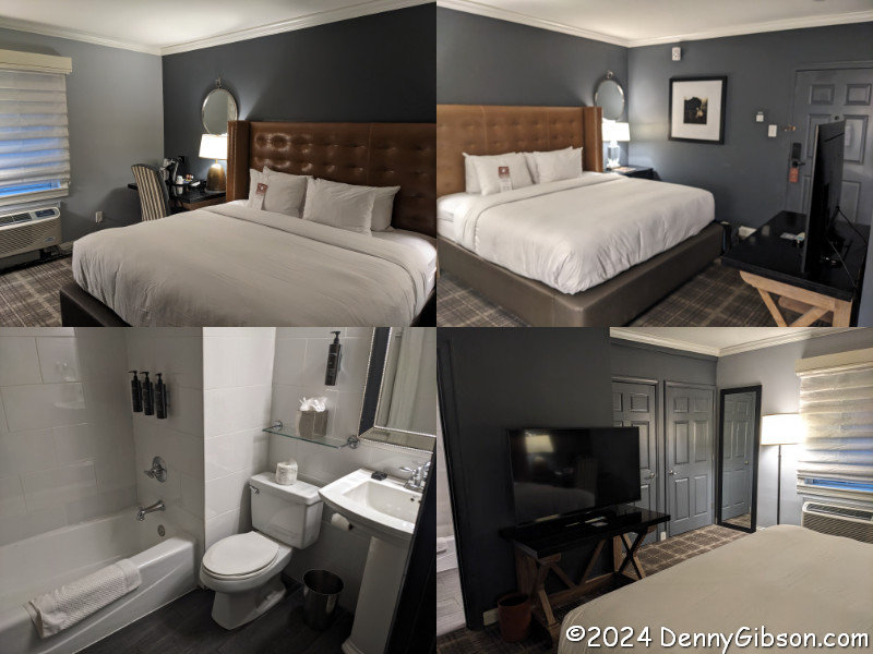
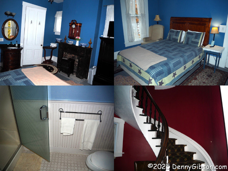
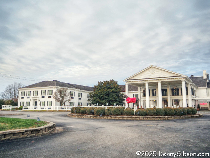 This is probably not on the official Dixie Highway, but Mike Curtis notes in his Dixie Highway Map that some sources, including the Automobile Blue Book, identified the road as a Dixie Highway route between Lexington and Mount Vernon. The hotel might look familiar. It’s the Campbell House, one of My Old Kentucky Hotels from last year’s Christmas outing. It wasn’t the first piece in this itinerary, but once I started thinking of doing the two DH alignments with an overnight, it was a pretty natural fit. There’s not much difference between my Thanksgiving Eve room and my 3 days before Christmas room.
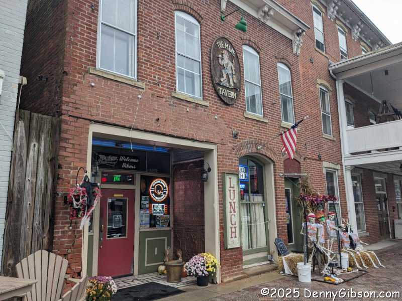
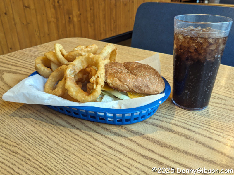
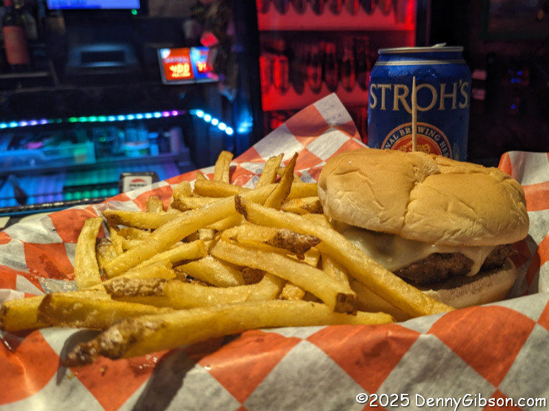
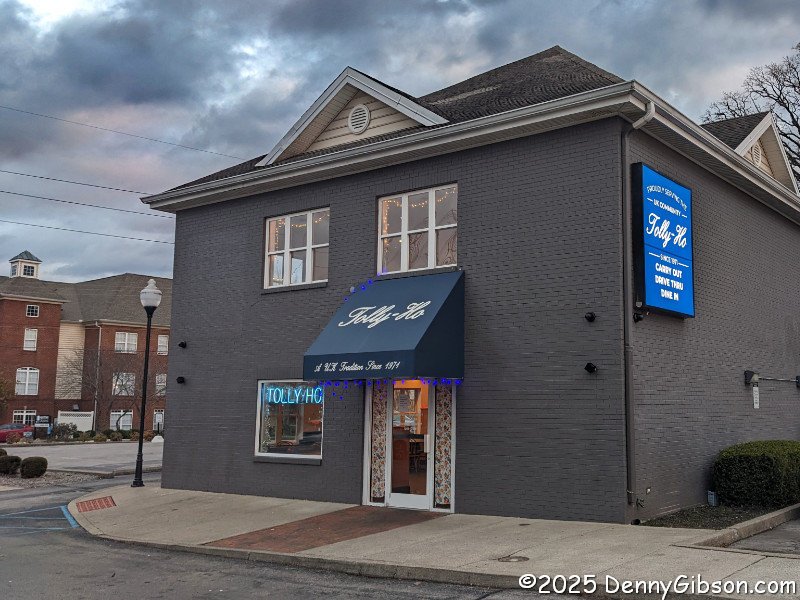 My dinner spot was less than a mile away from the Campbell, just off Broadway, the not-quite-official DH. Tolly-Ho has been serving ‘burgers in Lexington since 1971, although it has only been in this location for just over a year. I have eaten here once before when it was in its second location, a little farther to the northeast on Broadway. I was quite early when I ate at Tolly-Ho in 2017, so, despite it being known for its hamburgers, I had breakfast. Not this time.
ADDENDUM: Dec 31, 2025: As the final hours of 2025 ticked by, I learned that Tolly Ho’s final hours were ticking by, too. The restaurant reportedly will close permanently at midnight. What a shame.
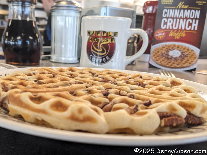
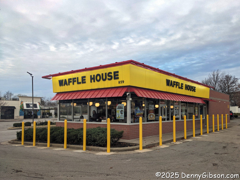 On Thanksgiving morning, it was possible, but not likely, that I would find an open independent breakfast spot further on up the road. It made no sense not to stop at this Waffle House barely half a mile away, directly on my planned path. Not only is Waffle House a reliable source of food on holidays, but it’s also a place where you are almost certain to find a friendly and cheerful staff. That was definitely the case here, where I started my day with a tasty pecan waffle.
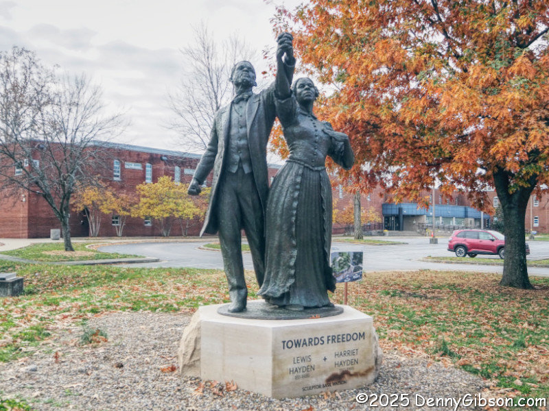
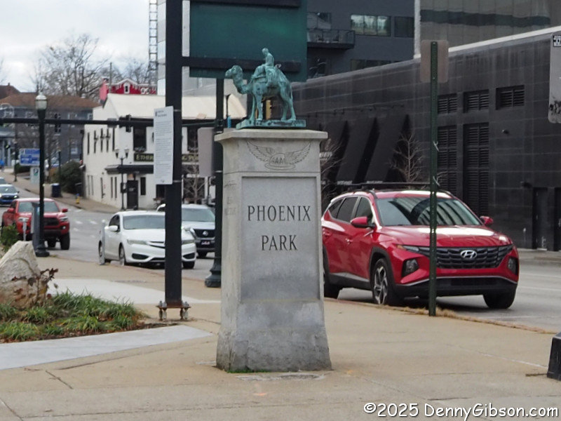
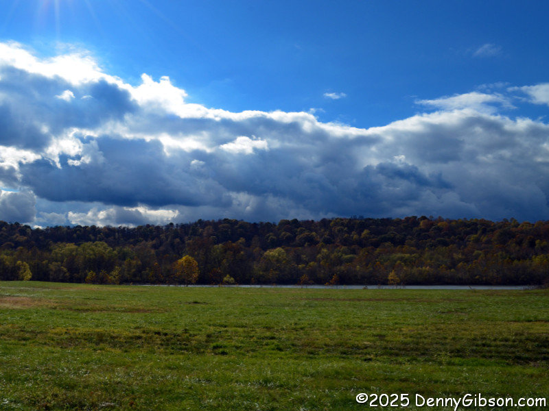
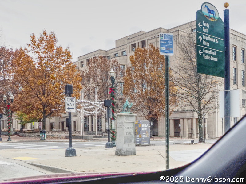 I made my way back to the Zero Milestone, crossed yesterday’s path, and started north on the eastern Cincinnati-Lexington Dixie Highway alignment. The first section is now one-way northbound, so it’s likely that the only time I have driven it was on that 2022 round trip. The statue of Lewis and Harriet Hayden was not here then. The statue of the escaped slaves who became quite active in the Underground Railroad was unveiled on Juneteenth of this year. It is phase one of Lexington’s Freedom Train project. The Paris Pike Scenic Byway begins at the edge of town after the road has become two-way.
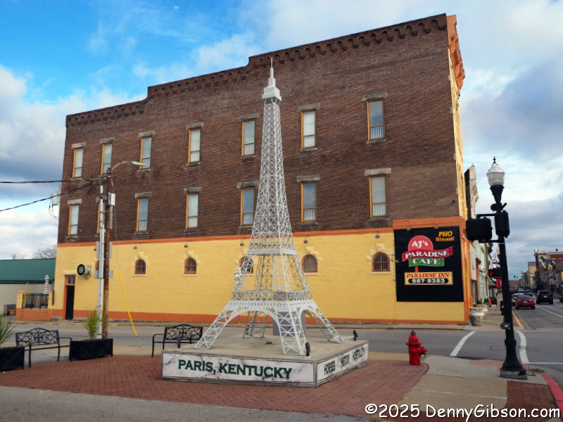
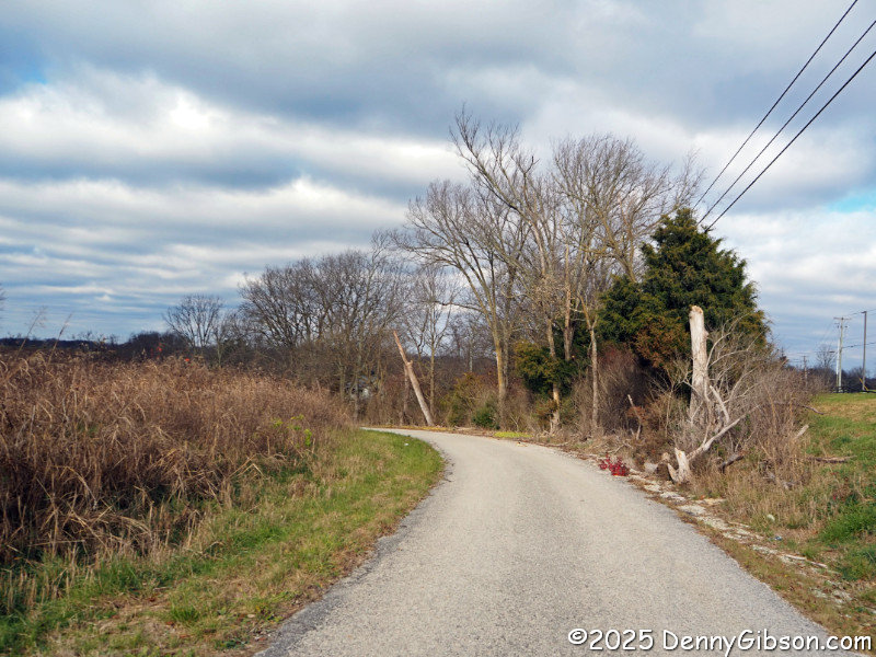
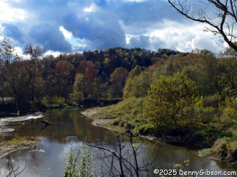
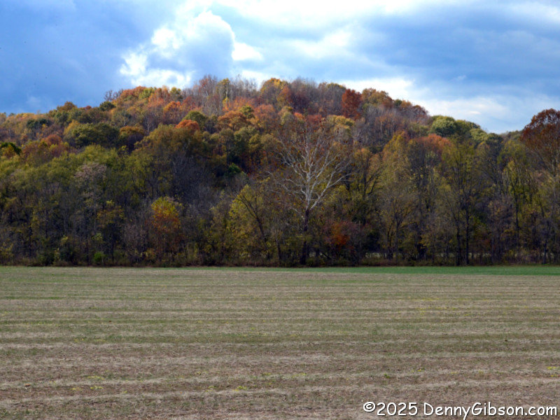
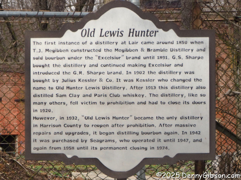
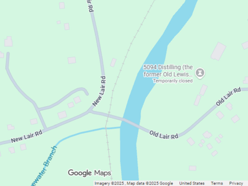
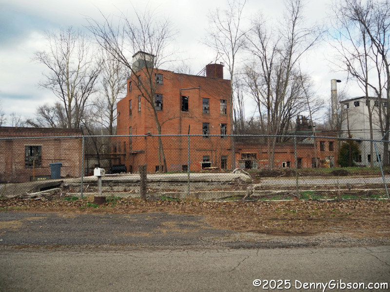 This is the Paris, complete with Eiffel Tower, the byway leads to. Beyond it, there are several bypassed sections of old road that probably look quite a bit like they did in Dixie Highway days. One passes through Blair and past the Old Lewis Hunter distillery. Potential customers are advised that Google Maps shows this as temporarily closed.
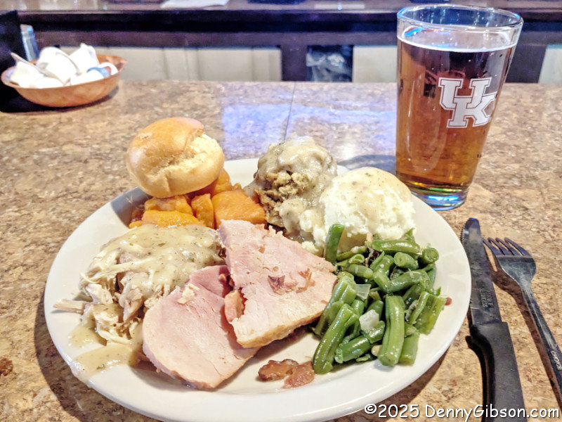
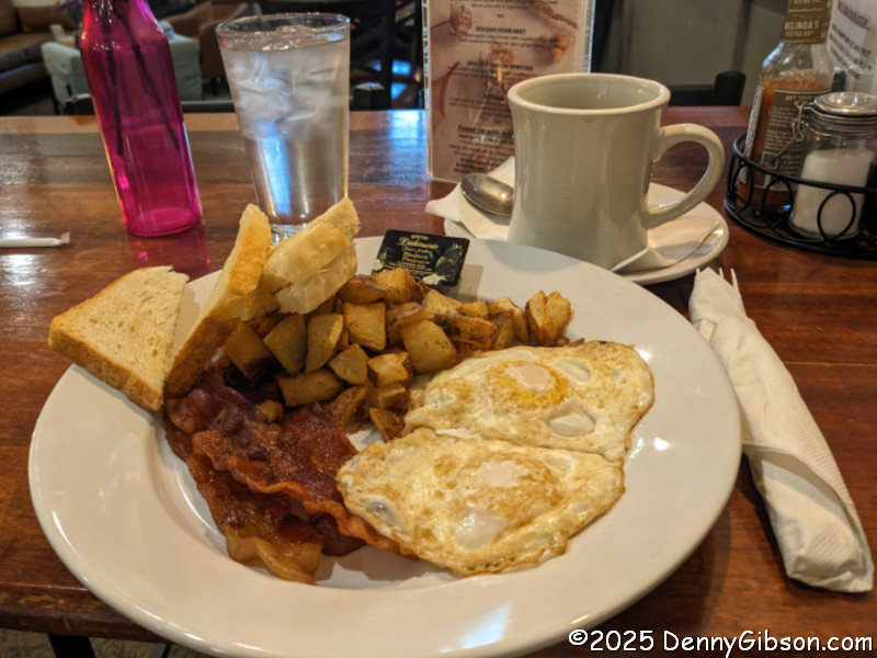
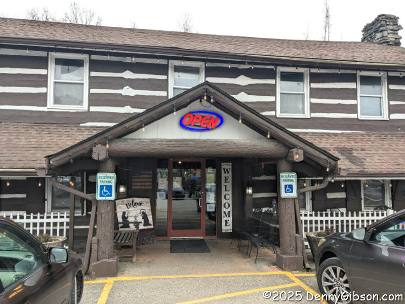 This actually was the first piece in this itinerary. Last year, as I drove south to that park near Hazard, KY, I was surprised to find the closer-to-home Log Cabin Inn open for breakfast. I was less surprised to find a Thanksgiving dinner was planned for later in the day. As the holiday approached this year, I was happy to learn that it was happening again and that reservations were not required. Last year, it had been sold out some days before I stopped for breakfast. I planned to stop on my way north and hope to get in. It was crowded, and a few people were waiting for seats, but I, as a party of one, was given a spot at the bar immediately. The fellow to my left, whom I chatted with later, was drinking from a pretty large mug, but fortunately, the barmaid offered me a choice of large or small. She did not offer a size choice on the meal, and I think I barely made it through half of the feast shown in the opening photo. Although it was too much for me, it was very good, and many customers thought the portions just right.
 The two Dixie Highway alignments come together in Covington, KY, and cross the Roebling into Ohio as one. I slipped through the city and onto my home with a belly full of turkey, ham, and a complete set of trimmings, and a heart full of gratitude for friends, family, and general good fortune.
 Back in 2018, I noted this blog’s 500th post and figured I ought to note the 1000th as well. But, as it neared, I decided to be a little perverse and mark the 1Kth (1024th) post instead. The 500th post was noted in the regularly scheduled Sunday post that followed. That was more or less the plan for this post. However, when the 1Kth post went up last Sunday, I quickly realized that a post was already planned for the next Sunday. That’s why I’m taking Wednesday, the day normally reserved for reviews, to wish this blog a Happy 1Kth.
 It’s probably not hard to guess that this post was triggered by two recent reviews of books with titles (
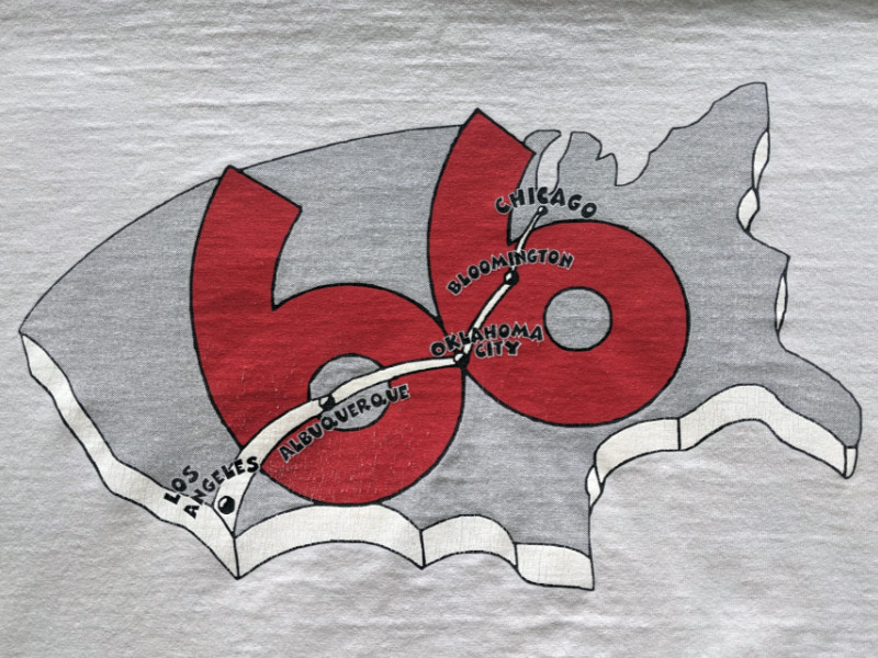
 There has always been a GPS in my car, starting with the very first of my documented road trips. The earliest ones I used showed me my position on a map and the straight-line distance to cities and other places. They did not offer routing. I actually doubt that routing was even possible before the government dropped “selective availability”, which limited the accuracy of civilian receivers, in 2000. I acquired a unit capable of routing in 2006 and started plotting downloadable routes for my trips. This included some partial Route 66 outings using directions in a first-edition EZ66 Guide, which I’d bought from Jerry in 2005. For my third full-length trip in 2012, I used a store-bought route.
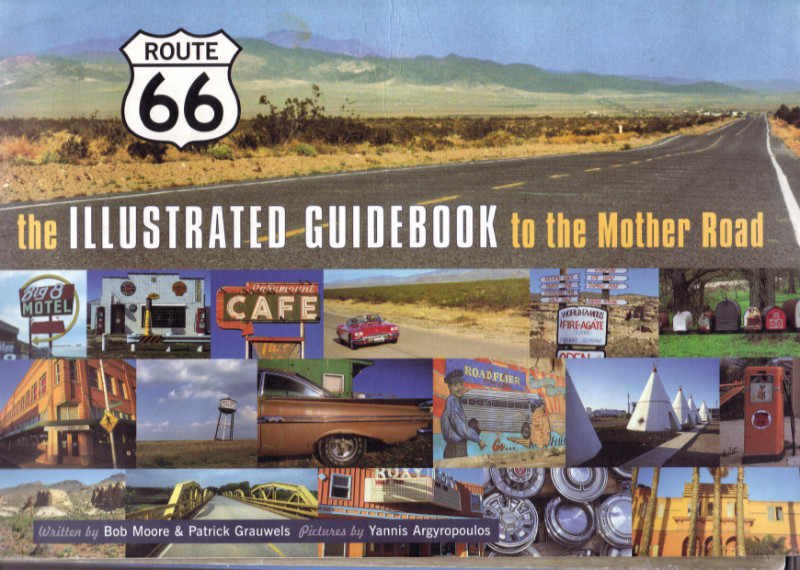
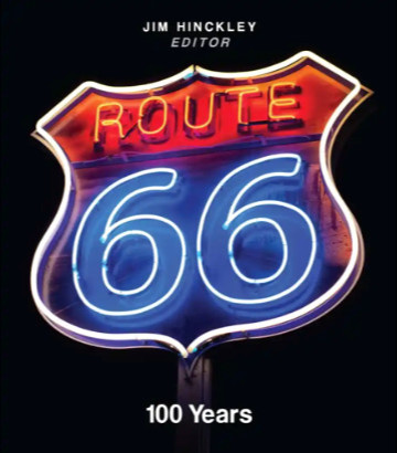 That title may look familiar. If so, one reason might be the similarly named Route 66: The First 100 Years, reviewed
 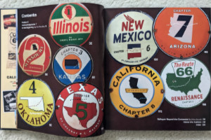 Route 66: 100 Years is an anthology edited by Jim Hinckley of
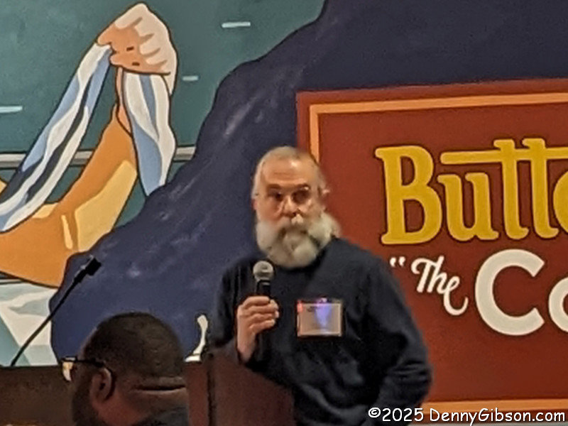
 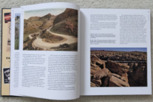 Like the beginning pages of many books about historic highways, the introduction includes tales of how the early automobile roads followed native trails, animal migration paths, and train tracks. And it talks about the impact that the popularity of bicycles had on the desire for and development of roads outside of cities toward the end of the 19th century. What makes it a little different from most similar writings is that it provides some details about organizations and specific events during road development during this era of pedal-powered transportation.
 The state chapters appear in geographic sequence, east to west, which is the direction most people travel the route. Together, they provide a sort of combination travel guide and history lesson. I’m not talking about a travel guide with turn-by-turn directions, motel phone numbers, and such. However, most towns along the route are mentioned — and US 66 was a great connector of small towns — along with numerous points of interest. There is usually some history given about each town and POI, and there is plenty of history about the route itself.
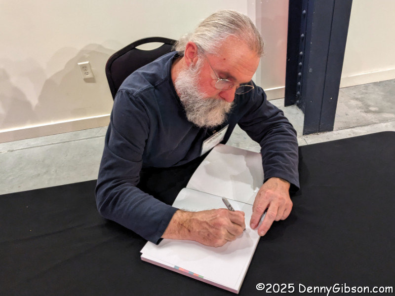
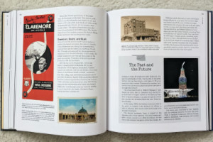 The book is definitely well-illustrated. I don’t believe there is a single page, besides the index and authors’ bios, without at least one image. These include modern and period photographs, postcards, advertising brochures, and other items. Joe Sonderman supplied some of those postcards and brochures, as did big-time collectors Mike Ward and Steve Rider. I was extremely pleased to see a photo from the collection of the late Laurel Kane included. Many of the modern photos were taken by Jim Hinckley and his wife, Judy. I saw no photos from either Rhys Martin or Greg Hasman, although I know both are excellent photographers. I did see photos from Shutterstock, Alamy, and Getty. I thought both situations were curious, but the final product comes off well.
 The quality of the book is quite good. Color and black-and-white images show nicely on the heavyweight glossy pages, and the layout serves them well. All have descriptive cut lines that include source credits. There are numerous sidebars, most with their own images, providing extra information outside of the main text flow.
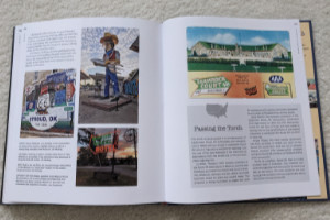 The individual states that carried US 66 account for eight chapters. The book has nine. Dries Bessels, a resident of the Netherlands, authored a chapter named “Renaissance”. Dries has guided multiple tours down the length of Route 66 and provides an outside-the-country view of the historic road. The “renaissance” he writes about is its emergence as a travel destination for both Americans and foreigners after being bypassed and decommissioned. America, essentially spared the devastation that WWII brought to Europe, was the land of dreams to post-war Europeans, and Route 66 was a tangible thing that rolled right through those dreams. Today, Route 66 is still regarded as a way to experience a diverse range of America.
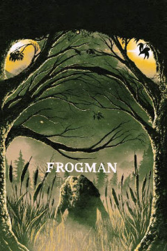 Frogman is a horror movie. I’m pretty sure the last horror movie that I paid to see in a theater was The Exorcist in 1973. I did that because I liked the book. I went to see Frogman because I liked the festival.
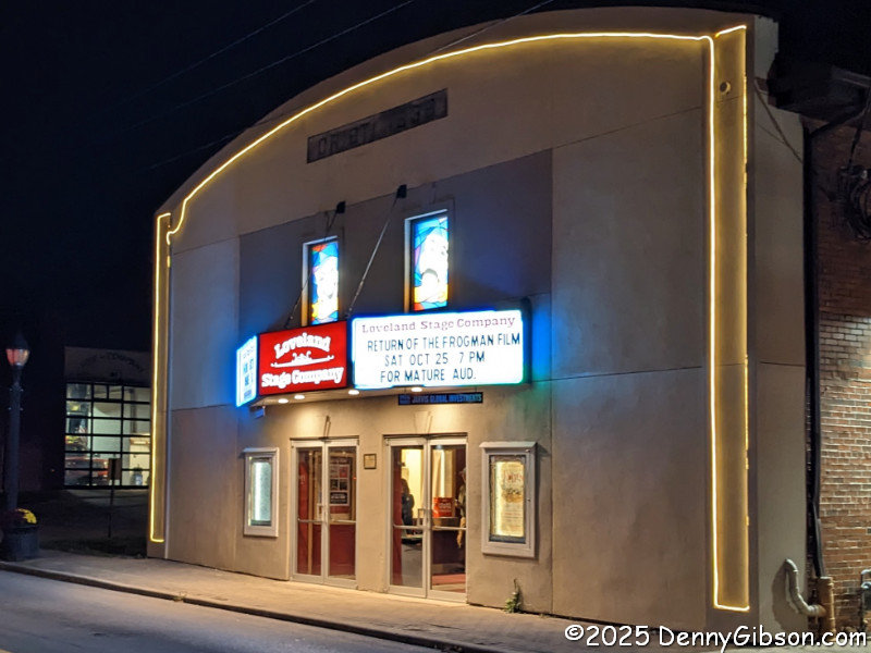
