
 The next day’s weather did not look promising when I went to bed on July 3rd. I had earlier noted a few parades that were candidates for my Independence Day agenda but the predicted full day of rain made actually attending any of them seem unlikely. That was still my opinion when I first checked the forecast after waking up but a closer look revealed that rain, although certainly on the way, might not arrive until very late morning. I decided to venture out to nearby Maineville where a parade was scheduled for 10:00 AM.
 I found a parking spot less than a block from the parade route and at the appointed time heard the national anthem being sung a few hundred yards away at the town center. A few speeches, which I couldn’t quite make out, followed and the parade began to move about 10:10.
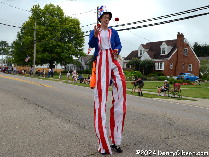
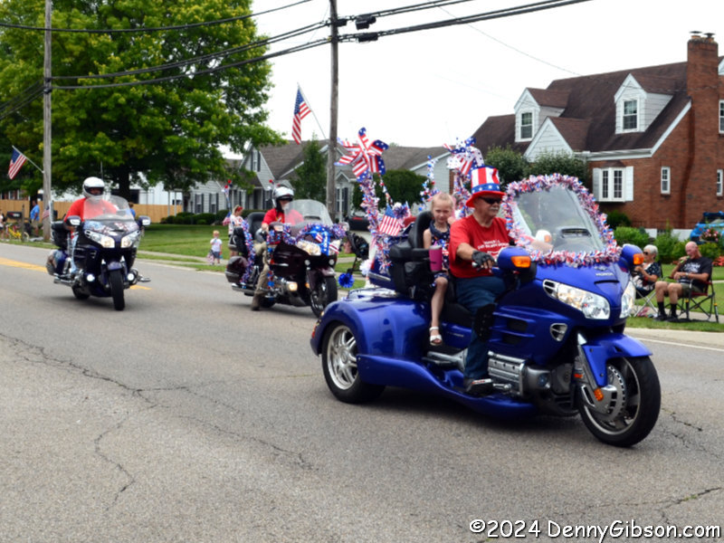
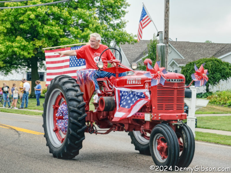
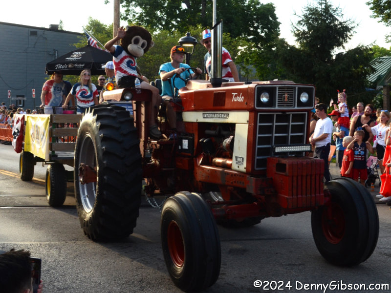
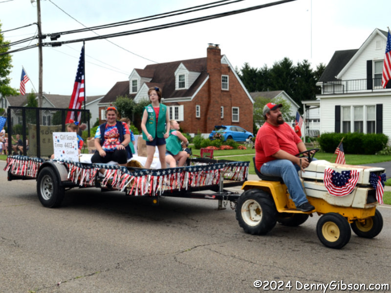 A lawn tractor pulling a trailer full of Girl Scouts passed shortly after the 1943 Farmall at the top of the page. More Girl and Boy Scouts followed along with cars, motorcycles, and jugglers. Ain’t that America?
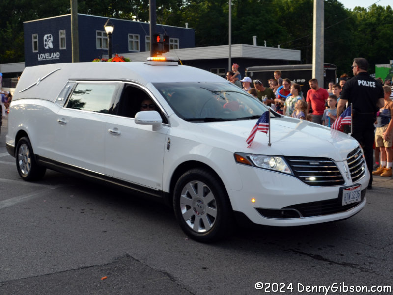
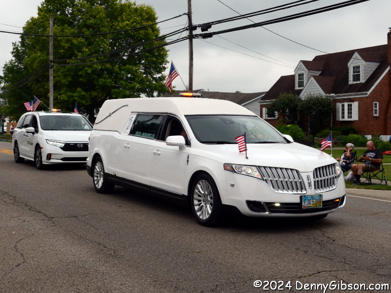 It’s also very American to have politicians and local businesses promoting themselves in parades. I don’t know that I had ever seen a hearse in a parade but when one of those local businesses is a funeral home there is no question that it belongs. A festival was taking place in the town’s park but the skies were threatening and I headed home following the parade. Rain started falling before I got there.
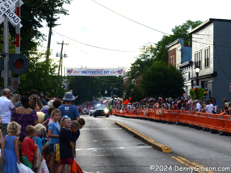 I used to have a Maineville address although I did not live inside the village. Somehow, I had never attended an event there before today. I also once had a Loveland address but it was well inside the city limits and I have attended many events — including several Independence Day celebrations — there. Their parade was scheduled for 7:00 PM, the afternoon rain ended way before that, and the next round wasn’t due to arrive until much later. Parking for my second parade of the day was not nearly as convenient as it had been for the first. I parked outside of town at the high school and rode a shuttle bus.
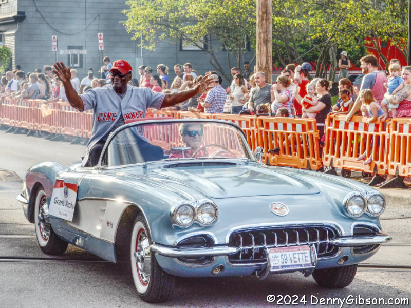 I don’t doubt that the parade started right on time but I was some distance away and it wasn’t until about 7:25 that the parade’s first vehicles passed by. Right behind the lead police car was the parade Grand Marshall George Foster, former Cincinnati Red and member of the Big Red Machine.
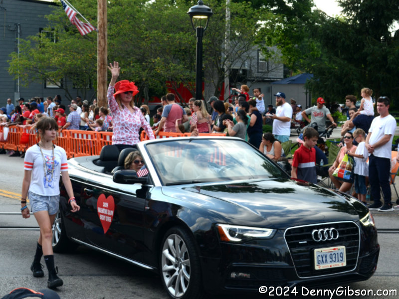
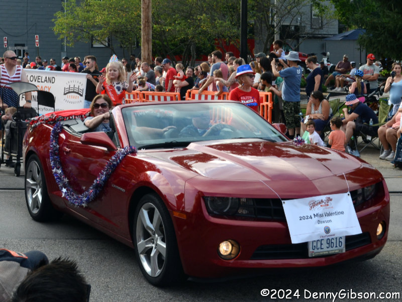 The name Loveland has led to the city’s longtime association with Valentine’s Day. Each year, volunteers see that thousands of cards are stamped with the phrase “There is nothing in the world so sweet as love” and the local postmark. The parade featured both Miss Valentine, Joan Dawson, and The Valentine Lady, Becky Giver. There is a nice article about the Valentine Ladies here
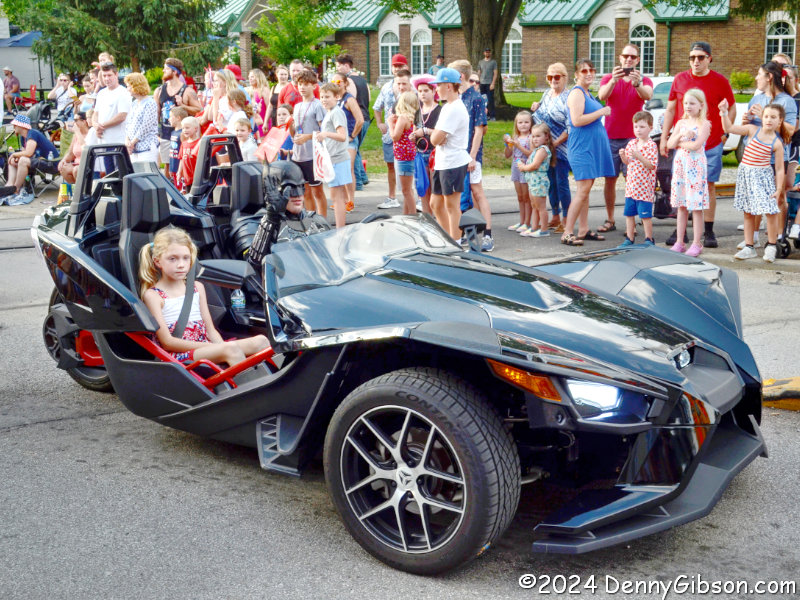
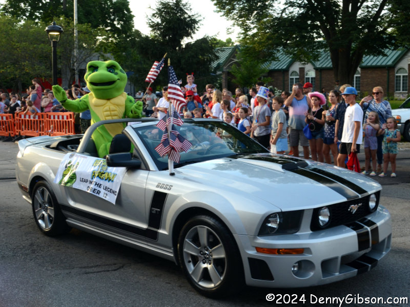
 The parade also had Batman, the Loveland Frogman, and its own big red tractor. The frog is there to to promote a new event called Return of the Frogman which is certain to be interesting.
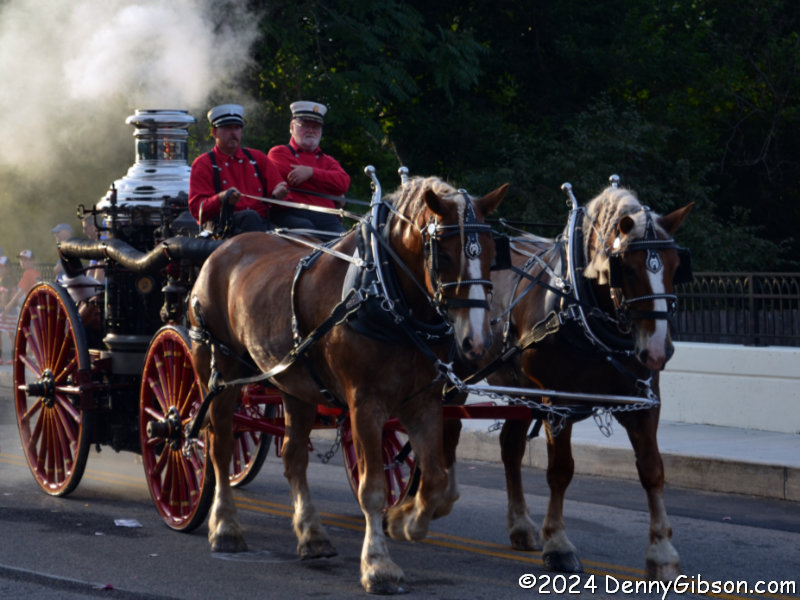
 And there’s that hearse again although this time it does not mark the parade’s end but only that the end is near. This parade ended with a horsedrawn, steam-powered, fire pump.
 More rain was predicted but it was not imminent. I took the shuttle back to my car where I awaited the fireworks. Rain did fall briefly while I waited but it stopped before the show began.
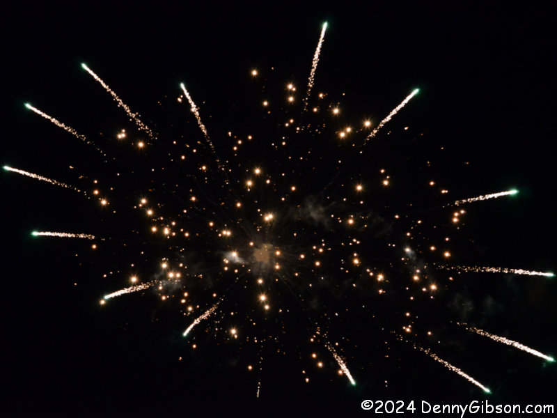
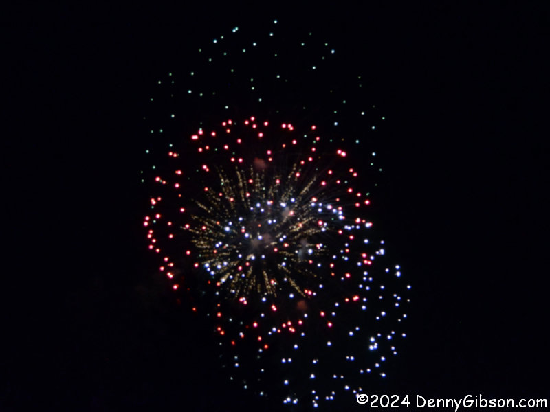
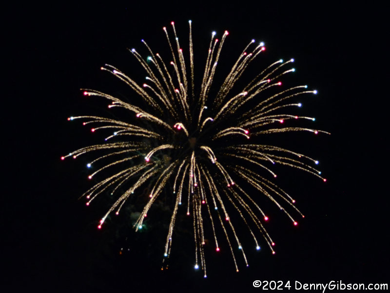
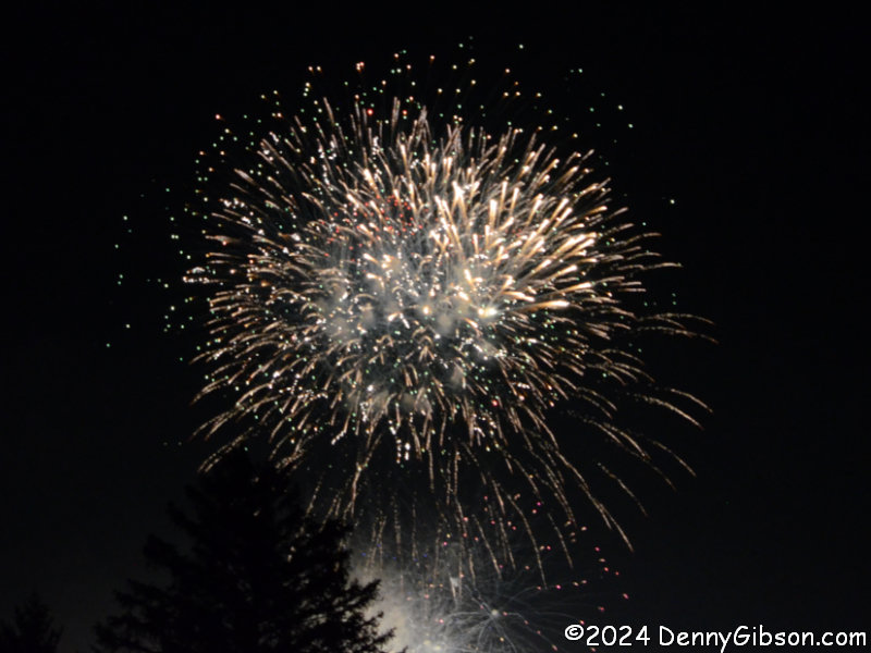
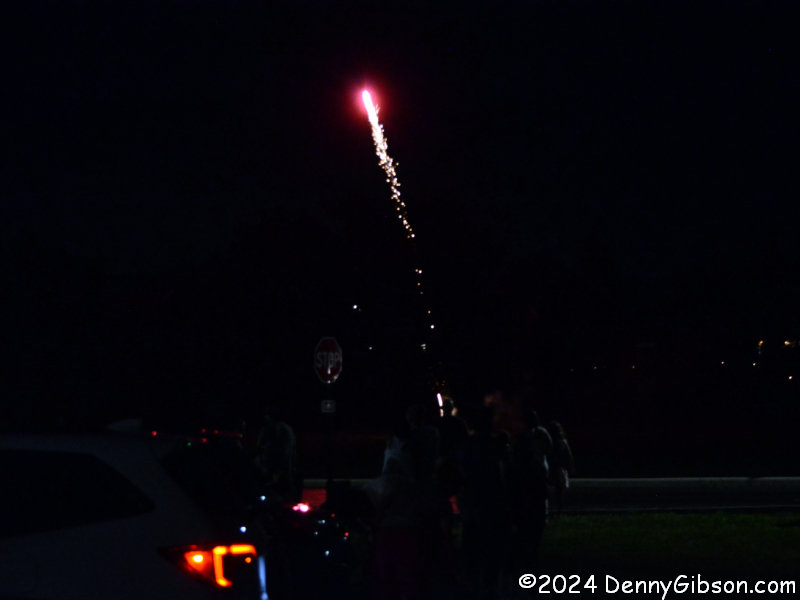 The city’s show began promptly at 10:00 and lasted just under fifteen minutes. Individuals had been setting off fireworks in various nearby locations before the official show and some of those picked up again almost as soon as the big display ended. In addition to those, which were beyond the surrounding trees, someone began launching rockets from an open area right next to the parking lot. It was nothing like the high-flying Loveland-sponsored show we had just seen but definitely not too shabby.


