
 It’s a simple concept. Position yourself at the southernmost point in the continental United States then drive to the northernmost point in the U.S. accessible by road. The former is Key West, Florida. Deadhorse, Alaska, is the latter. The two are separated by a little over 4,000 miles as an extremely hardy all-weather crow might fly. Limited to traveling on the earth’s surface, Tom Cotter and Michael Alan Ross clocked 8,881 miles in making the connection. The difference is easily justified. Tom and Michael had more fun than any crow could even dream of.
Tom Cotter is best known as The Barn Find Hunter from the numerous books and videos he has produced about automotive treasures found in barns and the like. He is also a road-tripper whose adventures include a cross-country Model T drive documented in a book I reviewed here. Michael Alan Ross is a very successful automotive photographer whose work filled that Model T book. On that Model T drive, MAR, as he is commonly known, drove a chase vehicle. This time he and Cotter share the driving and space in the small camper they tow.
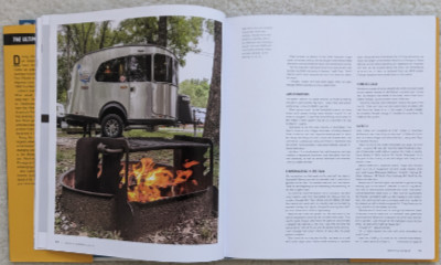 That camper was a new Basecamp 16X on loan from Airstream. The tow vehicle was a 2021 Bronco Outer Banks on loan from Ford. As Cotter tells it, he got the Bronco by telling Ford that Airstream had promised him a camper and he got the camper by telling Airstream that Ford had promised a Bronco.
Very early in the trip, the travelers broke one of the few guidelines they had established by jumping on I-75 while still in southern Florida. This is at odds with the “backroad USA” called out in the subtitle and Cotter readily admits that it is “cheating”. But it is understandable. With everything that lay ahead of them, there was a natural urge to leave the familiar behind and get on with the exotic. Before leaving Florida, they returned to the planned program by leaving the interstate for US 27.
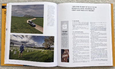 They clipped a corner of Georgia, then crossed Alabama (with a stop in Muscle Shoals) before turning north in Louisiana to reach Tennessee. They entered Missouri via the bootheel and maintained a west-by-northwest course through that state and Kansas with appropriate adjustments to take in the big ball of twine in Cawker City. Then it was a little more directly north through Nebraska and the Dakotas with a Memorial Day pause at the Black Hills National Cemetery in South Dakota. There was a different sort of pause at the North Dakota line. Despite all of Cotter’s past travels, he had, at this point, visited just forty-nine states. North Dakota was number fifty.
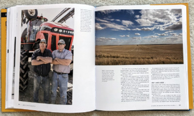 North of Bismarck, Cotter and MAR picked up US 2 and headed west. That might not be the most direct route to Alaska but there were friends near Seattle and, as any good road-tripper knows, anything can be “on the way” if you look at it just right. Hitting Glacier National Park and the Going-to-the-Sun Road might have also been a factor in route selection but the scenic road was not yet open for the summer when they arrived. There was, of course, plenty of great scenery even without Going-to-the-Sun, and plenty of interesting people, too.
Cotter and MAR both had friends in the Seattle area but swapping hellos was not the only reason for making that a target. The two travelers had planned for a month-long break in the middle of the trip to attend to their day jobs and visit family. The Bronco and Airstream would be left with friends while they flew home and back.
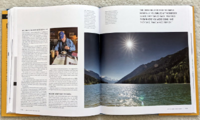 With the break out of the way, it was time to enter Canada and head for the beginning of the Alaska Highway in Dawson Creek, British Columbia. Cotter had a recent (but not quite current) edition of The Milepost with him. The Milepost is published annually and is close to indispensable for anyone traveling the Alaska Highway. That road is its primary focus and its initial reason for being but it now not only covers the Alaska Highway but just about every path for getting to and from it. That includes coming from Vancouver which is what Cotter and MAR were doing.
 British Columbia and the Yukon Territory contain the bulk of the Alaska Highway with only the northernmost two hundred miles or so being in Alaska. Cotter reports that any pride associated with returning to the U.S. was short-lived and declares this “absolutely the worst roads” they had driven so far. The Alaska Highway officially ends at Delta Junction but Fairbanks is easily reached on what is sometimes seen as an extension, the Richardson Highway.
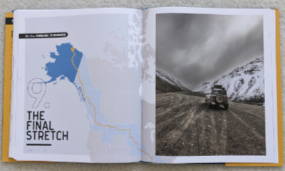 The Airstream was left with a cousin while Cotter and MAR tackled the final stretch to Deadhorse in the Bronco. Several aspects of this trip reminded me of my own 2016 drive to Alaska but perhaps none so much as the mention of “a mandatory pit stop at the Hilltop Restaurant north of Fairbanks”. Even though I did not drive north of Fairbanks on my own but used a commercial tour company to visit the Arctic Circle, we had breakfast at the Hilltop before hitting the Dalton Highway.
 My visit to the Arctic Circle had been a one-day there-and-back affair. Cotter and Mar spent a night on the Dalton Highway in Wiseman and two nights at the end of the road in Deadhorse. Just reaching the end of the road would be enough for most people but Cotter went above and beyond by joining the Arctic Polar Bear Club with a dip in the 40°F Prudhoe Bay to bookend his dip in the “warmer than my morning shower” water at the start of the trip in Key West.
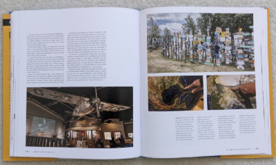
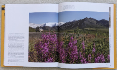
Looking back over what I’ve written, it seems I’ve been reviewing the trip rather than the book. Maybe there is at least a sense of it in the included thumbnail images. It has lots of MAR’s wonderful photos. The thumbnails offer hints of these although they don’t show that they are printed on heavyweight glossy paper which helps them look their best. Cotter’s words augment the photos (or vice versa) with details of the trip I have more or less summarized. Those words are at their best when telling about encounters with others. Some are people living along the route while others just happen to be traveling a piece of it at the same instant Cotter and MAR pass by. The ratio of the two sort of reverses itself as the trip progresses. Residents — some permanent and some temporary — outnumber people actually in motion during the early portions of the trip but the situation is pretty much the opposite once the Dalton Highway is reached.
Some percentage of interesting people exists among both residents and travelers just about everywhere. Cotter manages to find them on a regular basis but he suggests that the percentage may increase toward the end of the trip. “Boring people generally don’t travel to Alaska’s outback,” he observes. I guess that means his job got easier the farther they traveled.
America’s Greatest Road Trip!: Key West to Deadhorse: 9000 Miles Across Backroad USA, Tom Cotter and Michael Alan Ross, Motorbooks (September 19, 2023), 9.45 x 10.71 inches, 192 pages, ISBN 978-0760381069
Available through Amazon.
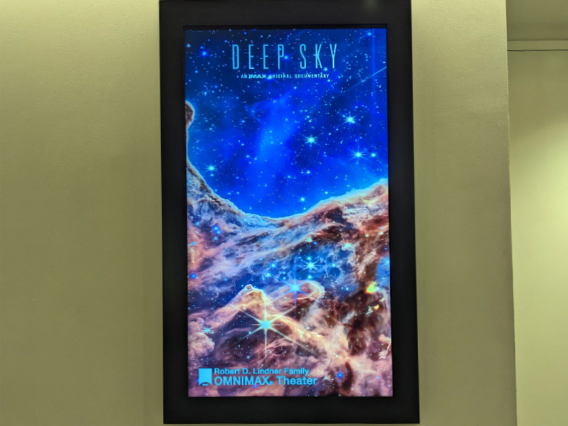
 I have not followed every detail of the astounding James Webb Space Telescope’s beginnings but I have been aware of some of the bigger events. I knew when it left Earth atop an Ariane 5 rocket on December 25, 2021, and I listened to reports of its eighteen gold-coated mirrors being unfolded and aligned. I marveled at those first images shared with the world on July 12, 2022. They were impressive on the tiny 6-inch screen on my phone, more so on my compact laptop’s 13-inch screen, and better yet on my small-by-modern-standards 42-inch TV. I need a bigger word than impressive now that I’ve seen some of them on a 72-foot OMNIMAX screen.


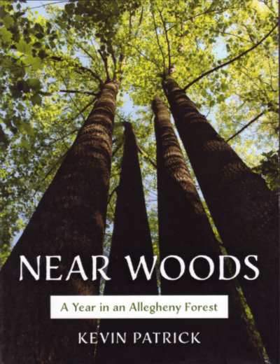 The year Kevin Patrick spent “connecting with White’s Woods” may have been, as a blurb on the back of Near Woods says “In the spirit of Walden” but the resulting products are not the same. Thoreau’s time at Walden Pond was an experiment in self-sufficiency and the book he wrote some years later documented its success. His observations of nature and seasons were generally used to support some aspect of his minimalist lifestyle and not to educate the reader. I suppose some of Patrick’s observations are also made to reinforce some philosophical viewpoint, but he is a lot more subtle and he helps the reader share the raw observation as near as possible. Exactly one-half of this book’s pages are filled with some excellent photographs.
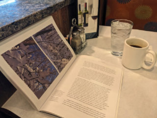 Of course, Near Woods is better looking than either Walden or PrairieErth. To some degree, that’s just something that color photographs do for a book. But these high-quality and well-chosen photos do more than make the book pretty. They are the “raw observations” mentioned in the first paragraph of this article. The book’s design incorporates the photos wonderfully and helps make reading the book a pleasure. Every lefthand page contains one or more photographs. Righthand pages are all text. Captions are in the extra wide inner margins of the text pages. It didn’t take me terribly long to recognize the beauty of this. Every page turn resulted in a new image that could be studied as quickly or slowly as desired before tackling a new page of text.

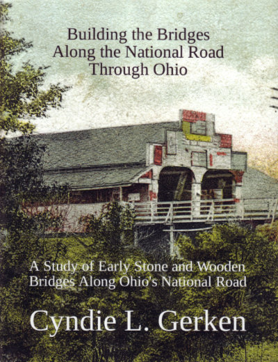 Cyndie’s done it again. As I began to write this review of Cyndie L. Gerken’s fourth book on the National Road in Ohio, I revisited my reviews of the previous three thinking I might come up with a better opening line but everything I saw just reinforced my initial thought. Cyndie has indeed done it again.
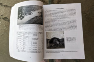 Although I certainly know better, I tend to instinctively think of big stone arches when I hear the phrase “National Road bridges”. One reason is that many of those stone bridges, some of them S-shaped, are still in existence. There were also many wooden bridges along the road but all were much shorter-lived. Building the Bridges… includes both. It identifies twenty-one covered wooden bridges built for the National Road in Ohio in addition to probably forty-some stone bridges. There were also well over a thousand stone culverts and one reason an accurate count of stone bridges is difficult to produce is that not everyone followed the same rules when distinguishing culverts and bridges. Span length was and is the distinguishing characteristic. Twelve feet, twenty feet, and no doubt some other numbers of feet were used to make the distinction and some reports did not distinguish the two at all.
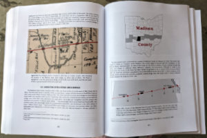 After telling us about as many of the bridge builders as she could identify, Gerken touches on some of the iconic National Road bridges east of Ohio, including the Wheeling Suspension Bridge, before beginning a county-by-county trek across the state. Each county chapter begins with a thumbnail of the county and the National Road through it. A map locating the National Road bridges in the county appears very early in each chapter. Sections on each of the bridges and some of the culverts in the county appear also in east-to-west sequence. Just as some bridges east of Ohio were touched upon preceding the border-to-border coverage, a few in Indiana follow it.
 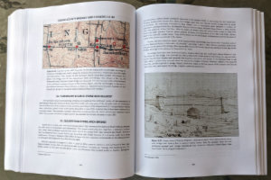 At a minimum, the location of each structure and what it crossed is given. The builder or builders are identified if known and, thanks to some pretty good sleuthing, many of them are. Beyond that, the information given for each bridge or culvert varies widely but it is a natural variation. For unnamed culverts over unnamed intermittent streams, location might be just about the only thing known. For major structures, lots of additional information might be included and usually supported by various graphics. Topographic maps are fairly common and there are lots of historic photographs and drawings. Plenty of modern photos also appear and if a structure is still standing there’s a good chance that the book contains a very modern picture of it taken by the author herself. Stories about events associated with happenings at or near a particular bridge can pop up anytime and are often fleshed out by reproducing contemporary reports.
 When I wrote about