
 I read this book by accident and belatedly. The accident comes from a spontaneous purchase. The belated reading comes from me not realizing how good it is. I picked the book up back in June of 2018 when I went to hear Mary Stockwell talk on her just-published Unlikely General about my childhood hero, Anthony Wayne. I knew nothing about Stockwell or any other books she had written but bought a copy of The Other Trail of Tears because it sounded kind of interesting and, perhaps more importantly, I was there. Unlikely General worked its way through the stack in a fairly timely manner; It was read and reviewed by November 2018. I let other books move ahead of this one and even loaned it, along with Unlikely General, to a friend to read. When I eventually did start reading The Other Trail of Tears, I quickly put it aside to accommodate two new road-related books. The second attempt went much better and I quickly regretted not diving in sooner. As is too often the case, my preconceptions were wrong. This is another book that was much more than I expected.
Like most people, I am fairly familiar with the forced removal of Native Americans from the southern United States that caused inconceivable suffering and thousands of deaths during the trek west known as The Trail of Tears. Those were the most horrific of the relocations resulting from the Indian Removal Act of 1830 but there were others.
Several reservations once existed in northern Ohio occupied by Shawnee, Wyandot, Seneca, and others. As an Ohioan, I was somewhat aware of these reservations and even knew a little bit about the forced removal of these people. I assumed that Stockwell’s book was filled with details of that removal. Perhaps that assumption and the accompanying assumption that those details would be terribly depressing contributed to my delay in actually reading the book.
My assumptions were not wrong but neither were they complete. The stories of the actual treks to the west are properly told and they are indeed depressing. But they do not fill the book. More pages are used telling of what preceded the removals than on the actual journeys. Stockwell’s coverage of the treaties and trades that resulted in the removal and the people and policies involved is rather detailed and seems complete. There is a lot of history here that I was quite ignorant of.
Though extremely educational, the pre-removal history is also somewhat depressing, and the whole book can fuel that sense of guilt we descendants of European Americans often feel when contemplating the last few centuries of Native American history.
Stockwell doesn’t stoke the guilt or overly stress the sadder aspects of the treks. Although she doesn’t completely hide her sense that Native Americans got a really raw deal, for the most part she sticks to accurately reporting the facts about an undeniably sad period in U.S. history.
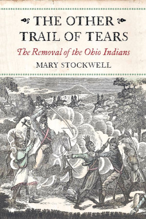
The Other Trail of Tears: The Removal of the Ohio Indians, Mary Stockwell, Westholme Publishing, March 18, 2016, 9 x 6 inches, 300 pages, ISBN 978-1594162589
Available through Amazon.
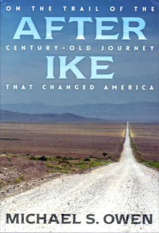 There are things that fans of old roads or of transportation history in general falsely assume that everyone knows about. One such item is the continent crossing Motor Transport Corps convoy of 1919. In the summer following the end of the first World War, a group of military personnel and vehicles set off from Washington, DC, to test the nation’s roads all the way to San Francisco. Although he was primarily an observer on the trip, his future accomplishments make Dwight Eisenhower the member of the convoy best-known today. Michael Owen uses the future president’s nickname in naming this telling of his own retracing of the 3,250-mile-long path that some 300 men and 81 vehicles of all shapes and sizes followed a century ago.
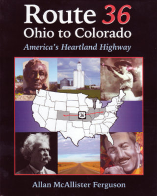 US-36 is kind of special to me. It is one of just a handful of US highways with an endpoint in my home state and one of just two that pass through my birth county. It’s even more special to Allan Ferguson. He grew up near the route in Illinois, has ancestral connections to the eastern end in Ohio, and currently lives near its western end in Colorado. It has had a role in much of his life from childhood vacations and visits to relatives to business trips and drives between old and new homes as an adult. Not all of his travels between Colorado and Illinois have been on Route 36. Not surprisingly, his early trips back home were on expressways. At some point, he tried US-36 and came to realize three things. The first was that it took no more time than driving the interstates. Between Denver and central Illinois, the US-36 is quite straight and about 100 miles shorter than either I-70 or I-80. Secondly, it was relaxing rather than stressful. The third thing he realized was that the drive was actually interesting and that realization eventually led to this book.
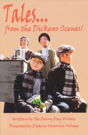 This book is unusual and unusually good. The Dickens Scenes of the title are those in Cambridge, Ohio, that starred in this blog’s most recent regular weekly post. There are currently 94 of those scenes and each began life as a sketch by a fellow named Bob Ley. Bob is one of a group of writers, known as
 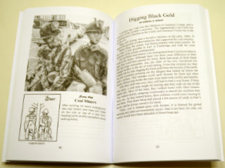 The individual photos are not credited but acknowledgments at the front of the book identify Tom Davey and Lindy Thaxton as the photographers. The photos are all quite good and do a nice job of capturing each scene from its best vantage point. Together, the book’s even-numbered (i.e., lefthand) pages make up the sort of catalog often prepared for a museum display. The village really is such a display with the sidewalks of Cambridge forming the museum.
 Sometimes I astound my friends with my knowledge, admittedly quite useless, of unusual and obscure roadside attractions. Othertimes I astound myself with my complete ignorance of a major and fairly well-known piece of public art.
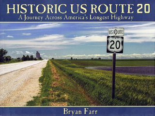 This book didn’t put US-20 on my to‑drive list, that happened long ago, but it did move it up quite a bit. At 3365 miles, Route 20 is currently the longest of the U.S. Numbered Highways so it’s quite naturally a road I’ve thought about driving. I have driven bits of it, of course, and crossed over it many times. It would be pretty hard to completely avoid a road that crosses the entire country as this one does. In Historic US Route 20: A Journey Across America’s Longest Highway, Bryan Farr documents an east to west drive over the entire length of the highway and the entire breadth of the nation with a couple hundred great color photos. There is something I’d like to see in just about every one of those photos.
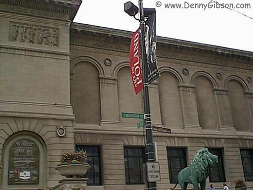
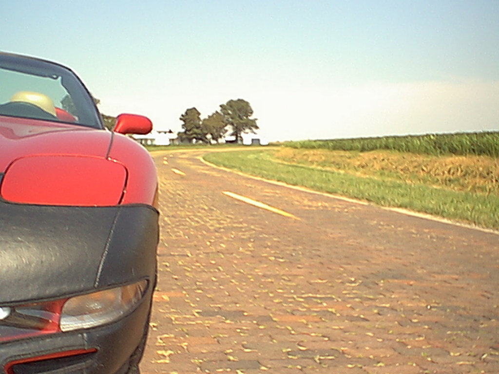
 A lot of things about the site have changed over the years but some things begun with that first trip have stuck. The concept of a page for each day with access to the next and previous day has been in place since the beginning as has a cover page with direct access to individual days. The idea of using the daily “Next’ and “Prev” button to (usually) represent the vehicle being used also goes back to that first trip. An animated GIF showing progress has been used on a few subsequent trips but it requires knowing the full route in advance and that’s often not the case. Besides, it’s a fair amount of work.
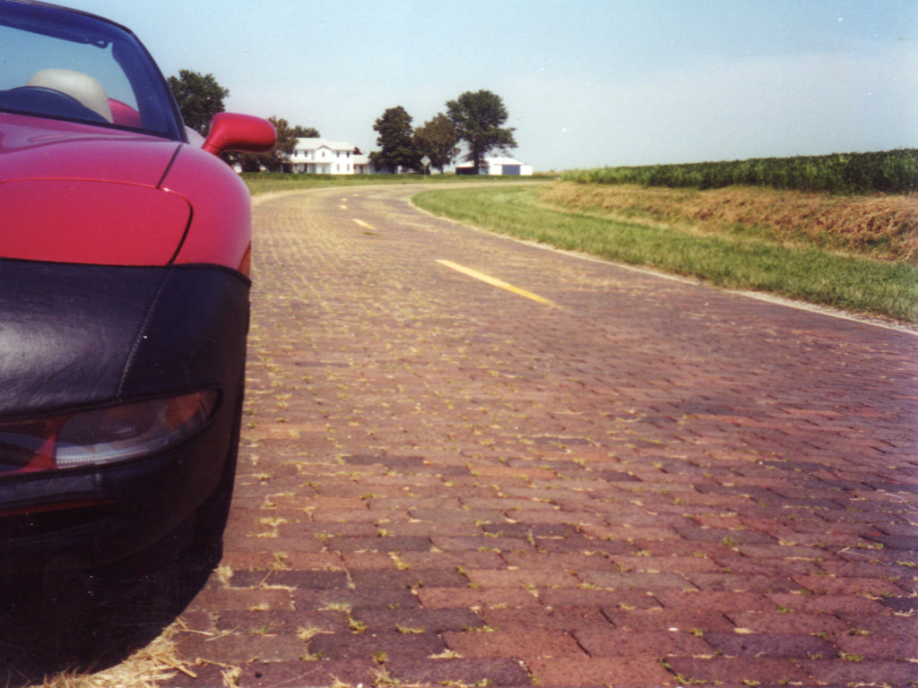
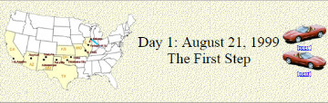
 The final cover page for that trip talks about it being temporary. As I said at the time, I expected it to go away because “I’ll need the space or retiring it will just seem right.” Web space became increasingly cheap and apparently retiring it never seemed right. Two decades later that first trip journal is still online and I’ve added 155 more. There is a
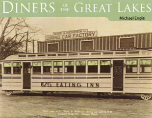 My original notion of what’s inside Diners of the Great Lakes was not very accurate, but I’m not the least bit disappointed. For no particular reason, I more or less expected this book to be something akin to a directory of diners currently existing in the Great Lakes region along with a telling of their individual histories. There is a certain amount of that, but it comes late in the book after Engle has delivered not just the history of diner operation in the region but of the manufacture of diners there along with their development as something distinct from what occurred nearer the Atlantic.
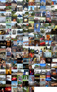
 And now for something completely different. Anyone who thought releasing two books within three months might be overdoing it will have no doubts about that being the case when they see another appear a week later. But this is a different kettle of fish. Really. Six of Each is a collection of photographs drawn from the previously published travelogues. Each of those travelogues is available in two forms. There is a black-and-white printed version and a color digital version. Photo-quality color printing is still relatively expensive in the low-volume print-on-demand world. Printing the books in black and white keeps them reasonably priced. On the other hand, color in digital files is free. Offering B&W paperbacks and color ebooks isn’t ideal but it keeps the books affordable and color at least available.
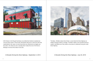 So what I’ve done is pick a half dozen pictures from each of the existing travelogues and combine them in a Blurb magazine. The magazine is only available through Blurb (that’s one of those magazine restrictions) and there is no digital version available (that’s my restriction). It’s also more expensive than it seems a 32-page “magazine” ought to be. But it does let me see what some of my photographs would look like using something besides black ink on stationary paper. And it’s there for anyone else who would like to look.